How To: Using Climate Engine Vegetation Production Reports
Introduction

Climate Engine Team
Live Last read · last published · next check
Introduction
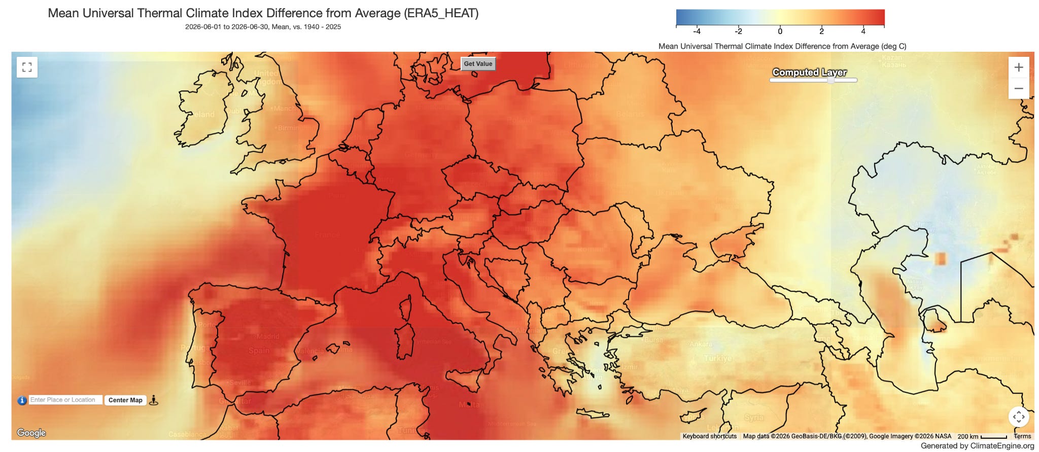
In round two of maps to spark exploration with Climate Engine, we turn our attention to global events.
The Climate Engine API has various impactful raster calculation endpoints that have been co-developed through partnerships with teams from the National Oceanic and Atmospheric Administration (NOAA).
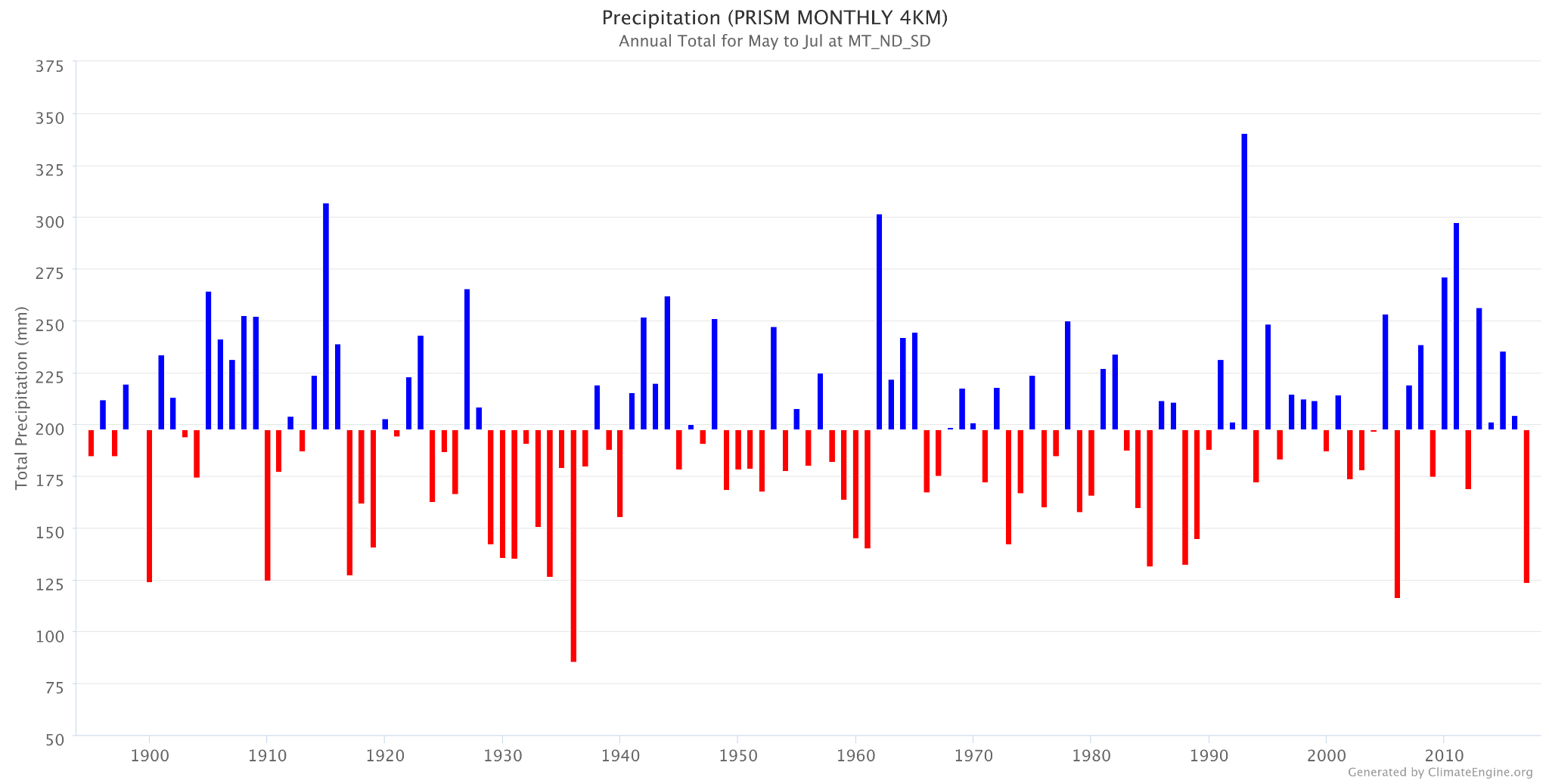
The Climate Engine API lets you bin a dataset and count the number of pixels falling into each bin within your area of interest, making it easy to track how the spatial distribution of values has changed over time.
Catch Up On Everything We Have Been Working On
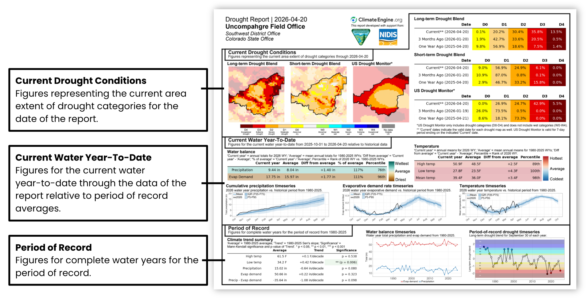
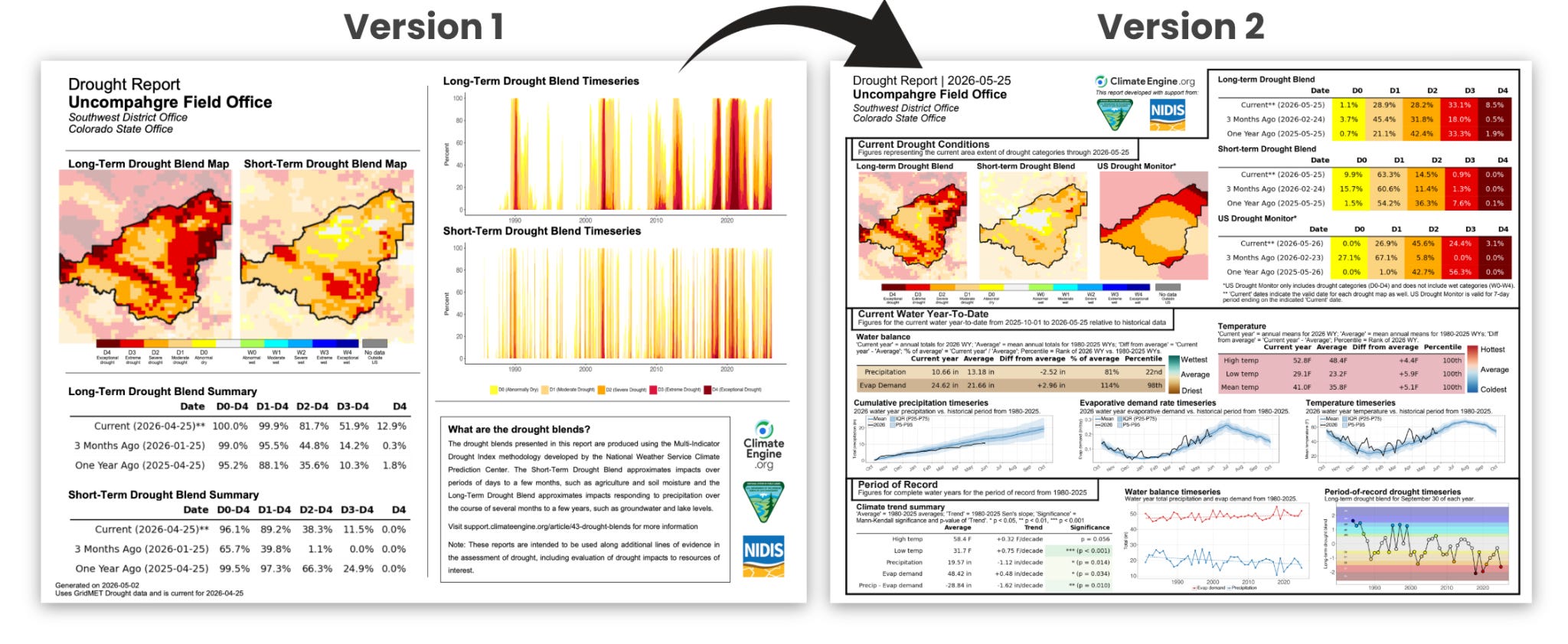
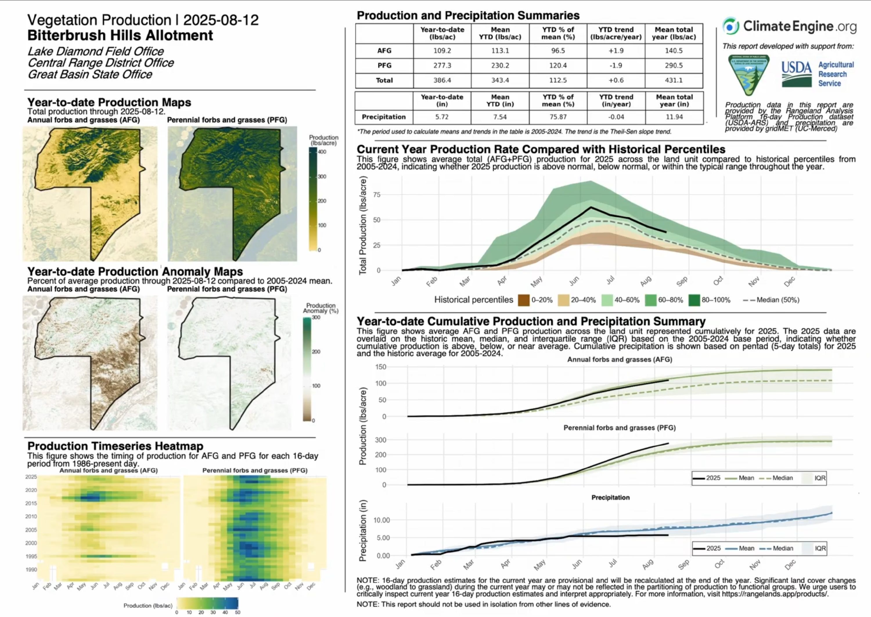
Custom, repeatable drought summaries for resource managers across the conterminous United States
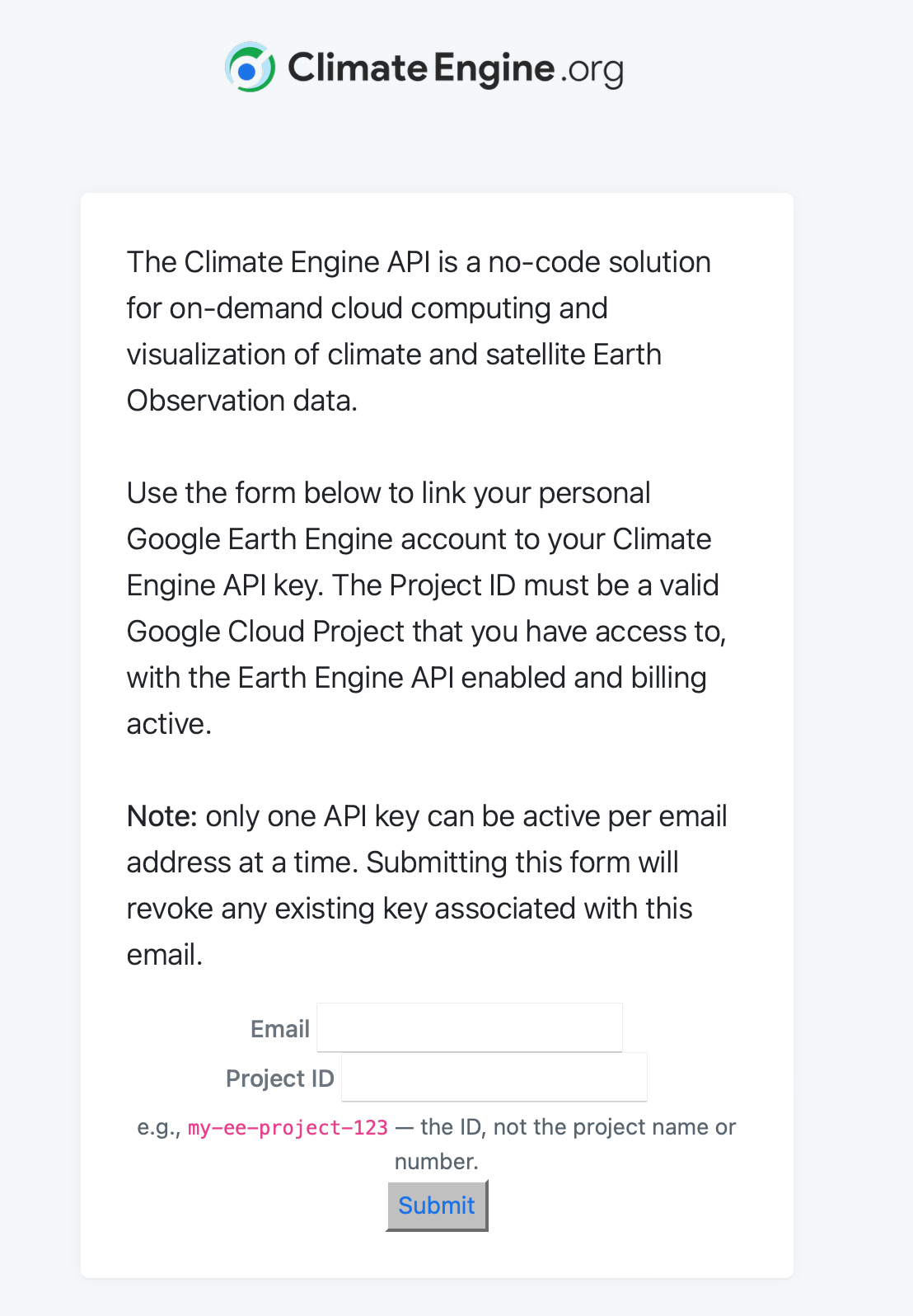
A new way for Climate Engine API users to scale workflows, manage exports, and connect Climate Engine outputs directly to their own Google Cloud resources.
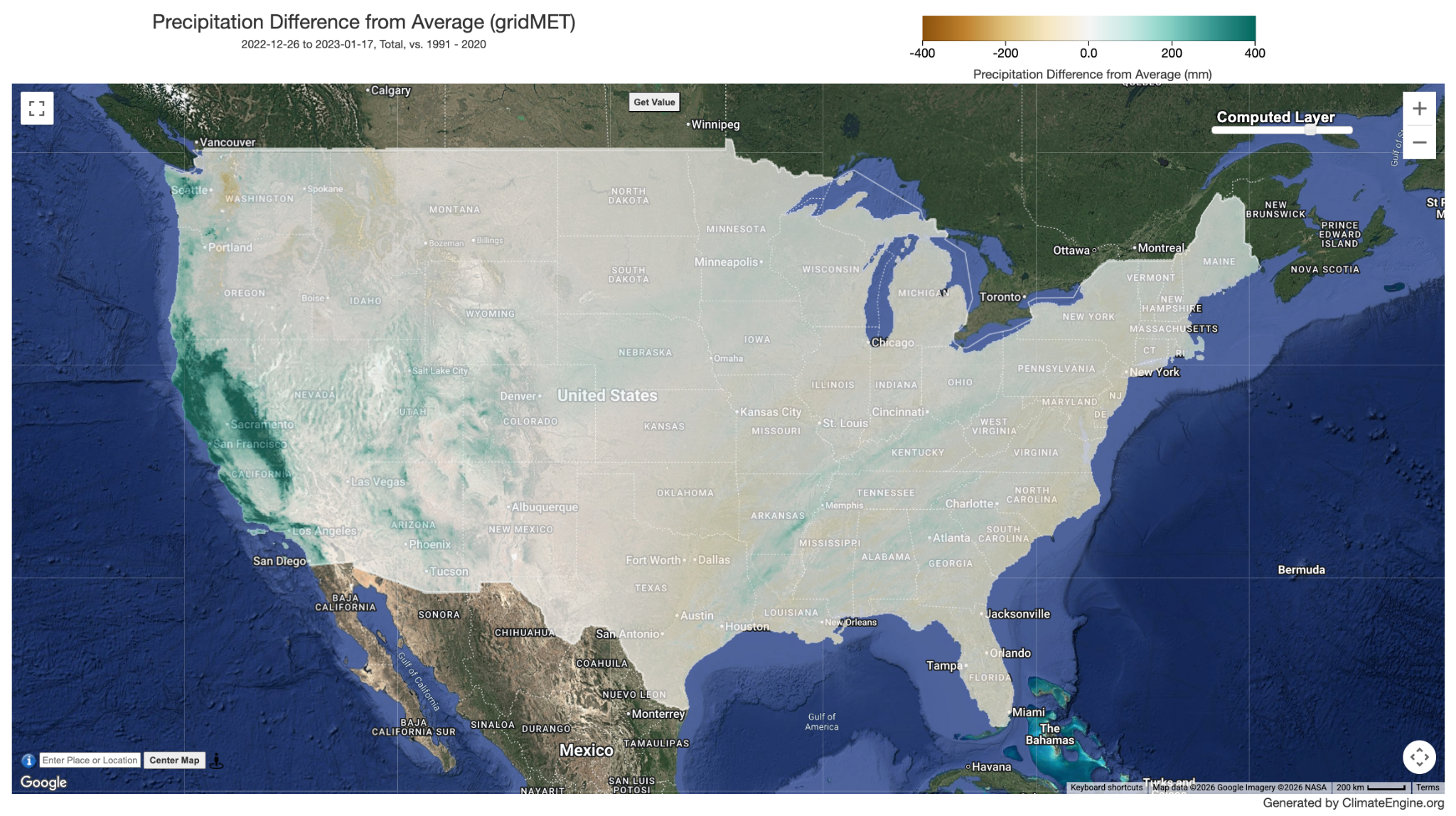
The Map Calculations that Power Geospatial Investigation
Climate Engine provides streamlined access to more than 50 drought-related datasets, covering variables such as precipitation, evapotranspiration, potential water deficit, and standardized drought indices.
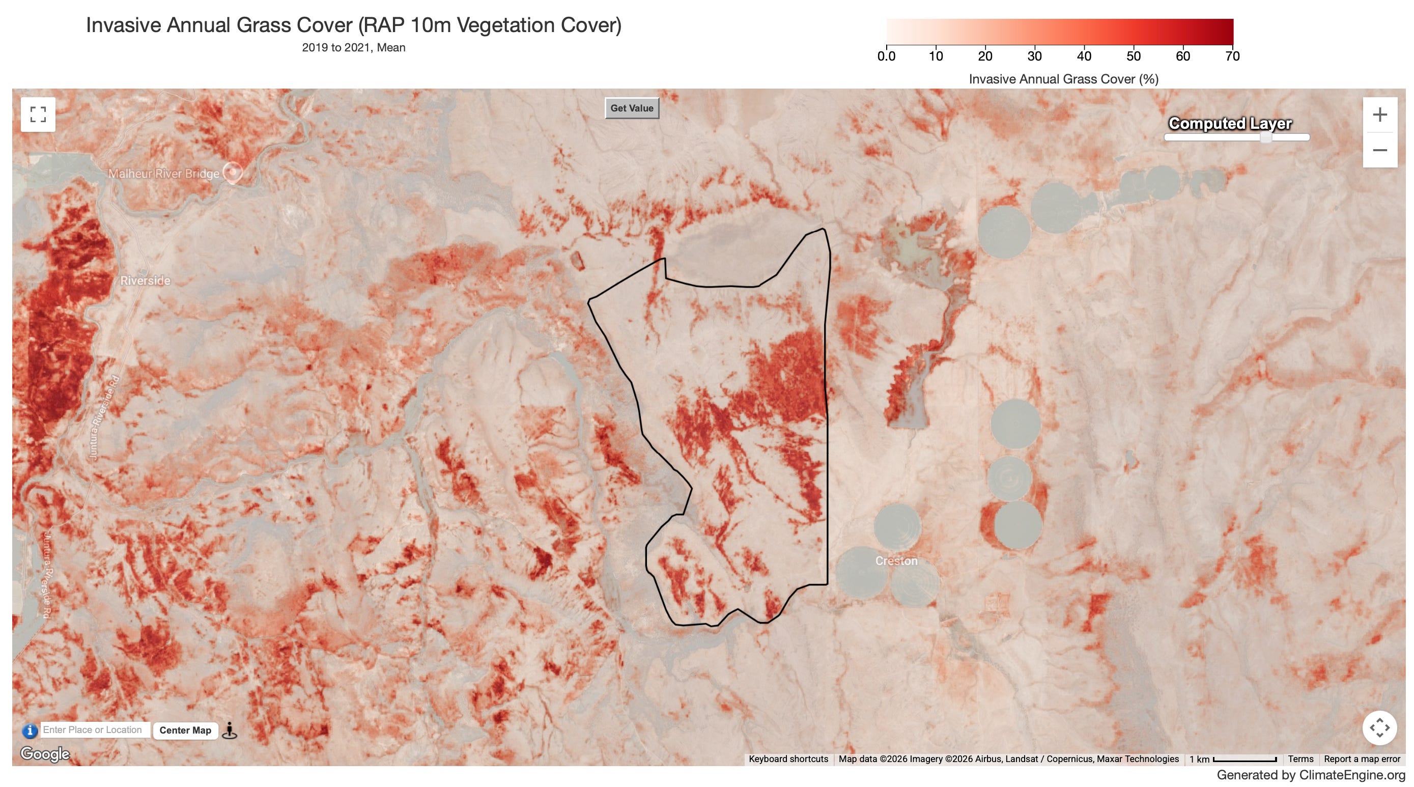
This demo was part of the Climate Engine workshop “Landscape-scale Monitoring of Upland Ecosystems using Satellite Data Products in Climate Engine”. It uses the Southeast Oregon Wildfire Resiliency Project case study to show how to address questions related to the pre-restoration and post-restoration vegetation trajectories in the Climate Engine app, aiding multiple steps in planning and adaptive…
Catch Up On Everything We Have Been Working On