Post-Mortem: How The Dump of The Season Got Dumped
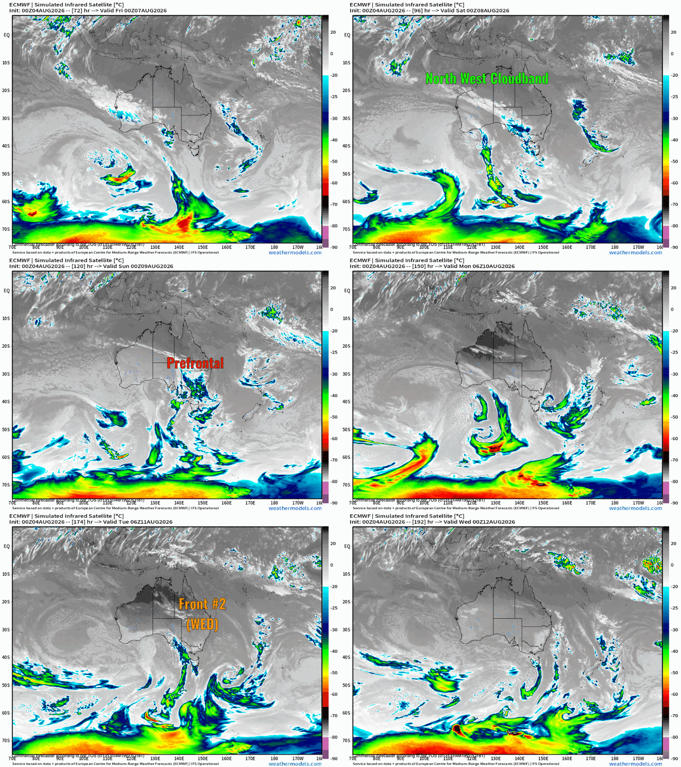
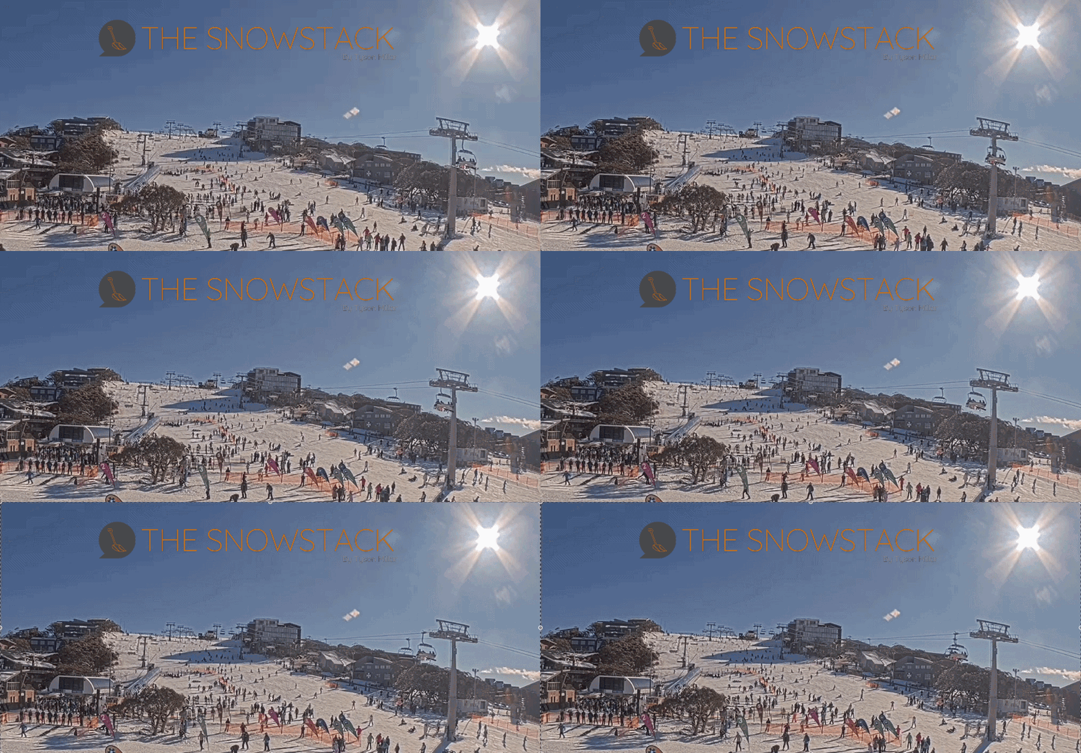
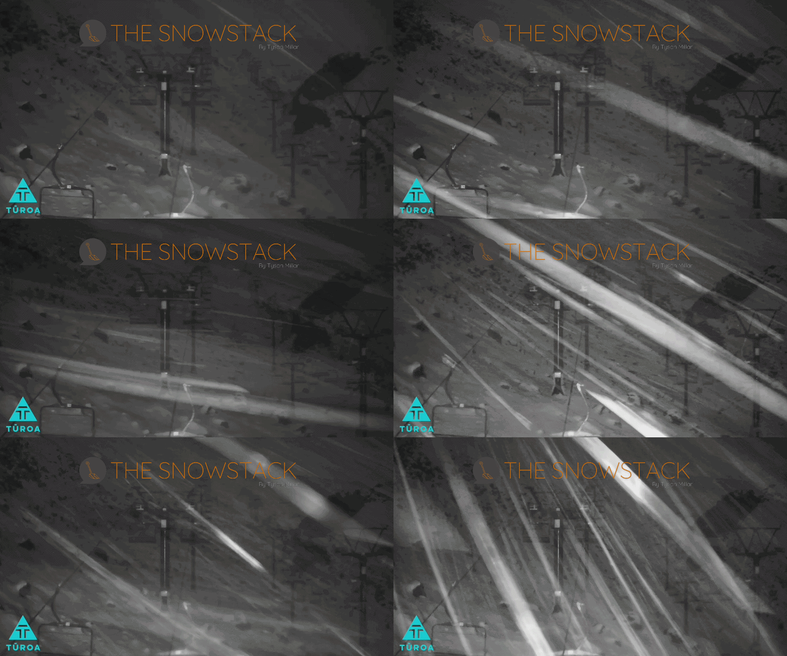
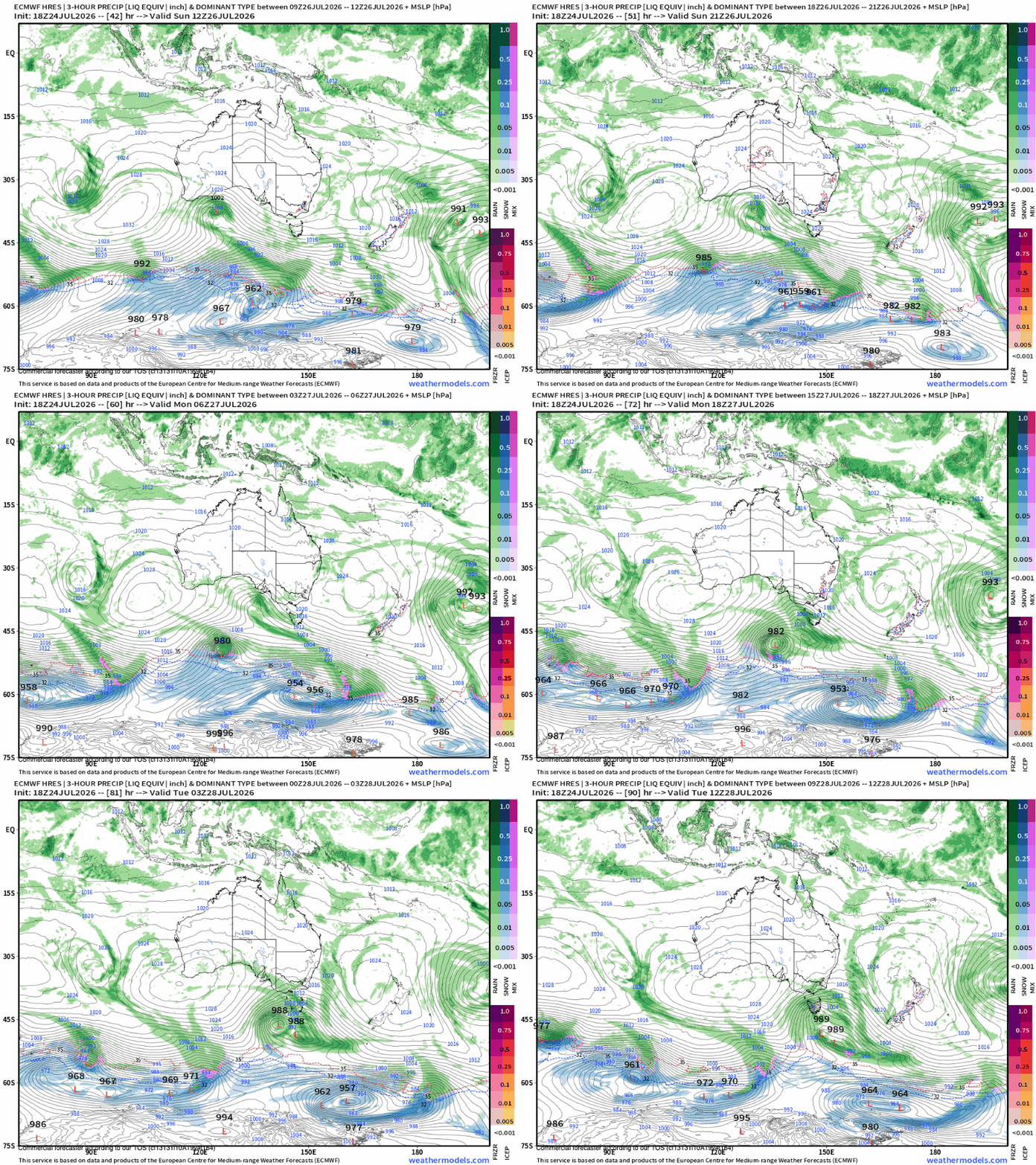
Last week, the Australian Alpine region was robbed of a major winter snowfall. Here is how the short-range models folded like deckchairs as the system approached south-west WA.

Over 20 years of experience in closely monitoring the Australian Alpine, snow weather & climate. Sub in to get the low down on the snow, severe weather, climate, and geoscience, with a twist of photography & surfing.
Live Last read · last published · next check
Saves to your Listen queue, to pick up on another day or another device.
Last week, the Australian Alpine region was robbed of a major winter snowfall. Here is how the short-range models folded like deckchairs as the system approached south-west WA.
A breakdown of the Rossby wave and strong westerlies driving Sunday's major winter shift.
An imminent tropical breakout is underway, delivering Australia’s best chance at a late-season winter surge. How long could it last?
Long-range models lock in an August pattern shift for Australia, alongside fresh snowfall across New Zealand.
A look at the hemispheric setup routing cold air eastward to Chile and NZ while keeping local systems on the defensive.
While Australian ski areas (and parts of NZ) look worryingly for the next snowfall, South America cops the mother load.
A bog standard mid-winter snowstorm arrives this weekend as the large scale pattern begins to favour more active conditions across the Australian Alps.
A moisture-laden north-westerly will deliver a brief period of rain before rapidly transitioning to a high-impact alpine snowfall across the South Island.
Orographic effects support early, flukey snowfall and the forecast improves.
As a forgettable June ends, a strong tropical pulse in the Western Pacific will trigger a brief burst of snow across south-east Australia during the first week of July.