
Today we’re continuing with Episode 9 of the Ancient Spain series:
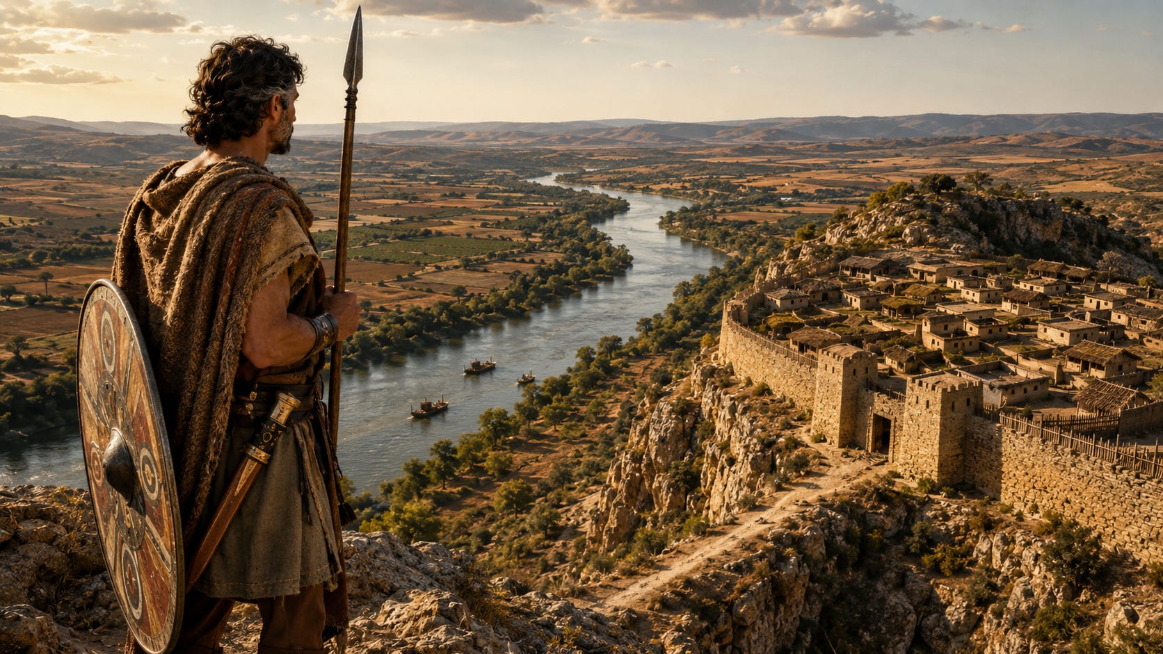
Last Episode
Last week we explored the Edetani, the Iberian people who inhabited part of what is today Valencia and Castellón. We saw how their territory placed them in one of the most dynamic areas of the Iberian Peninsula, and how they had fertile lands, access to Mediterranean exchange, and a strategic position between the coast and the interior. They had a local Iberian culture that was shaped in connection to the wider Mediterranean world, but was adapted and developed locally.
We also looked at the painted ceramics of Llíria, which are one of the most important archaeological pieces we have for understanding Ancient Iberian societies. These ceramics depict multiple aspects of their symbolic and ritual life, which helps us get an idea of what mattered to them enough to be represented in these ceramics.
Today
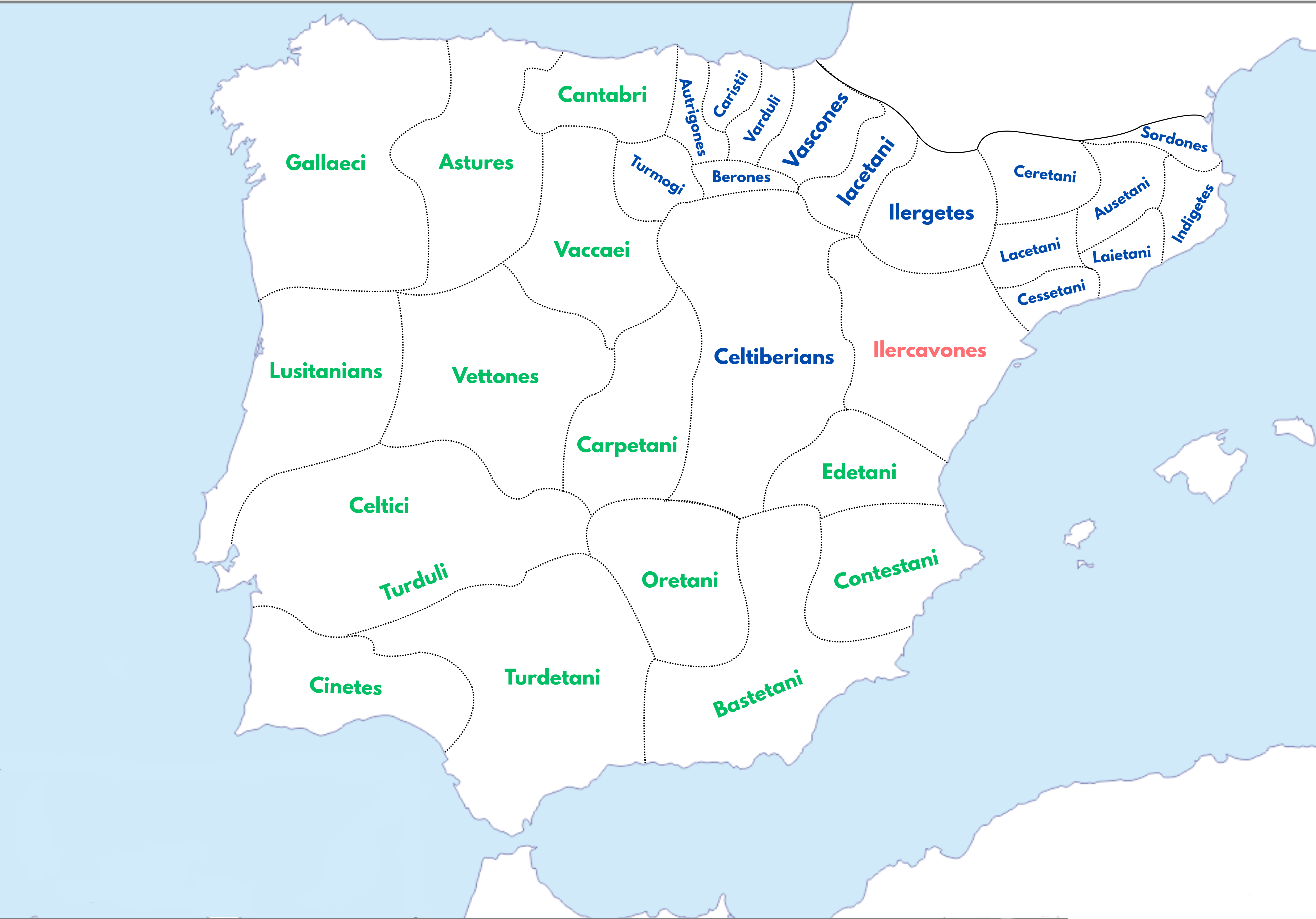
Today we will continue moving north along the eastern coast of the Iberian Peninsula, leaving the Valencia region and entering the lands around the lower Ebro. Here we will meet the Ilercavones, the Iberian people who inhabited the region that corresponds to parts of present-day southern Catalonia, northern Castellón and the lower Ebro area.
The Ebro was one of the great natural arteries of the Iberian Peninsula, connecting the Mediterranean with the interior, so this was a very strategic area to be located. In previous episodes we saw how important it was to be placed beside the Mediterranean for accessing resources and developments, so we can only imagine how that, combined with the Ebro, made a unique crossroads for culture, trade and other exchanges.
If you want context from scratch to follow this series, you can have a look at the Free Ancient Spain Guide I put together.
If you’re a subscriber, you should have received it in your inbox. If you’re new, you will receive it for free in the welcome email when you subscribe to History of Spain.
The Ilercavones were one of the peoples who made the Iberian world, and lived in the north-eastern part of the Iberian Peninsula, around the lower Ebro and surrounding Mediterranean lands.
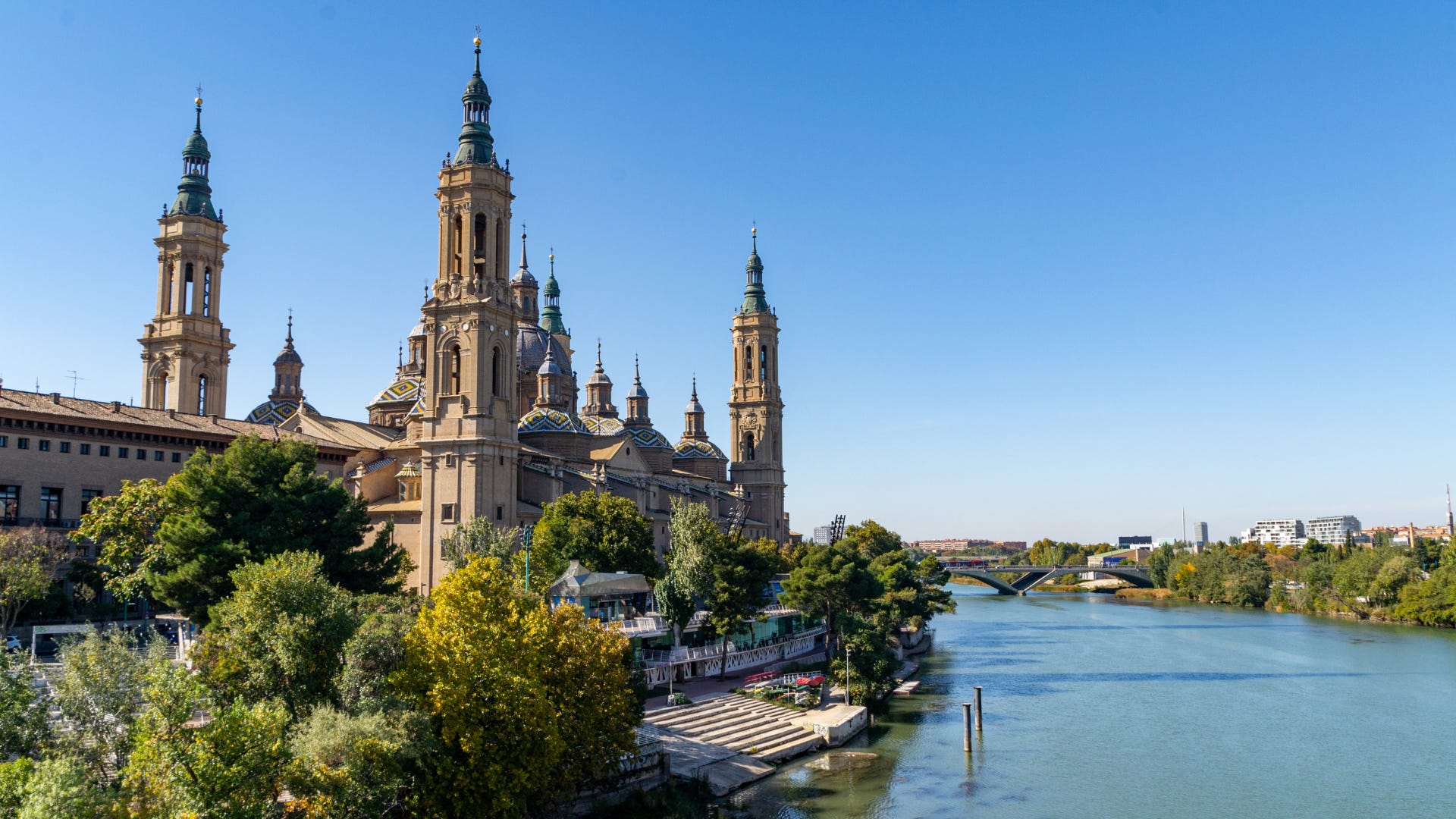
As we saw in previous episodes, being located by the Mediterranean coast of Spain was a big deal in 300 BC, as the trading powers of the Ancient Mediterranean would arrive to these shores with new technologies, ideas, culture and developments. Furthermore, what arrived was not the only important aspect of this wider Mediterranean access, as the local peoples could grow richer through trading with these powers; and if the peoples from the interior of the Iberian Peninsula wanted to trade with them, they had to go through the Iberian peoples of the eastern coast of Ancient Spain, who profited from it.
What makes the situation of the Ilercavones very unique in this sense is that they not only had access to the Mediterranean trading networks, but also to the interior, as they sat at the point where the river Ebro, one of the main and most important rivers in the Iberian Peninsula, reached the Mediterranean. This gave them access to several worlds at the same time, which means that they could benefit from both the Mediterranean trade, and the movement of goods and people along the Ebro corridor.
Today we are used to thinking about roads, railways, airports, and ports as the main pieces of infrastructure that connect a region. But in Ancient Iberia, a river like the Ebro could play a similar role. It was a natural route cutting across the landscape, linking the coast with the interior when no other geographical features did.
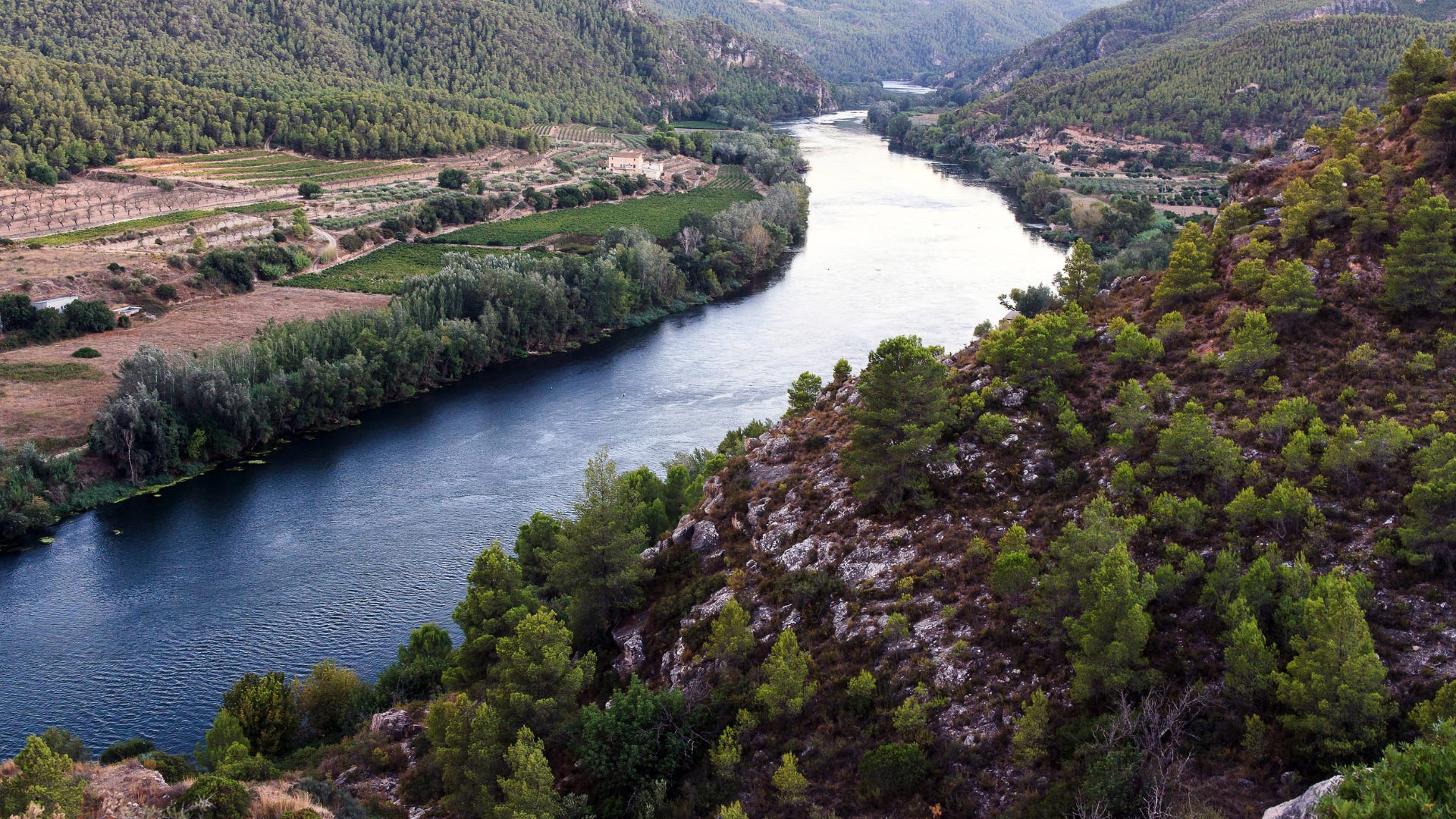
Before modern water management infrastructures, being located beside a river was also very important for the location of settlements, as rivers provided a source of always-renewing freshwater for drinking and farming. So the Ebro was truly important in Ancient Iberia as many settlements sat on its banks, and its waters served as a sort of “fluvial highway” that connected them.
The river Ebro is 930km long (577 miles). It starts near Reinosa in Cantabria, in the Cordillera Cantábrica mountain range, and it stretches until the Mediterranean in the province of Tarragona, in Catalonia. The Ebro is the second most plentiful river in the Iberian Peninsula, with a flow rate of 600m³ per second. Along its long course, it crosses many important locations in the north-eastern corner of the Iberian Peninsula, such as Logroño or Zaragoza.
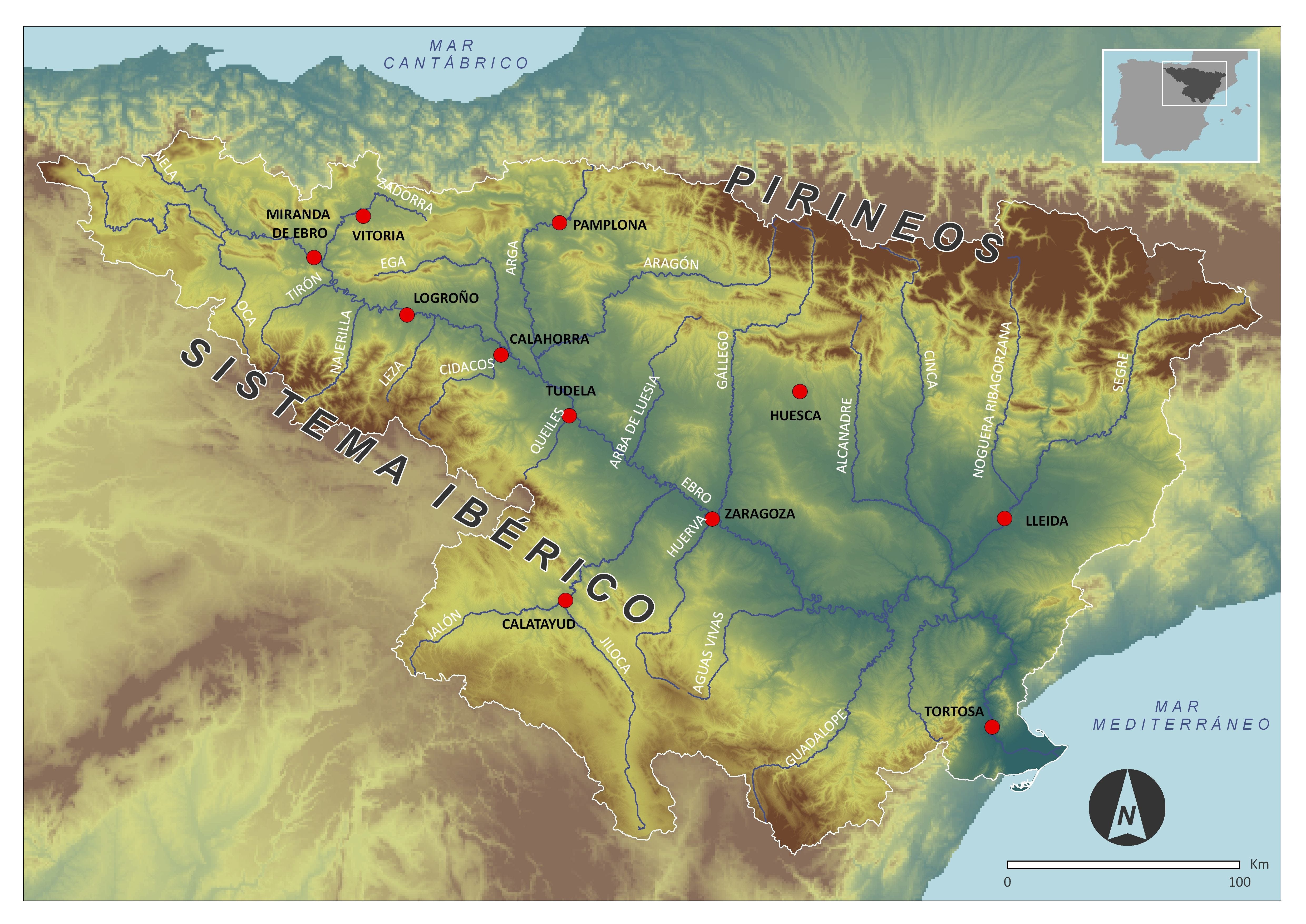
The river Ebro also has many tributaries along its course, and the territories around them are known as the Ebro basin, which includes cities like Vitoria, Pamplona, Huesca or Lleida. The Ebro basin has a surface of 86.000km², which would make it the third biggest region in Spain if it was an autonomous community (Spain’s territorial division units, kind of like a state), after Castilla y León and Andalucía.
Being located beside such a source of freshwater and trade, as well as the Mediterranean, the economy of the Ilercavones was based on a combination of agriculture, livestock, local production and exchange. They could produce food locally while also participating in broader exchange networks, with goods coming from the interior headed towards the coast, and products, objects and influences arriving from the Mediterranean that moved inland. This created a natural exchange zone where local production and external contact worked together.
Similarly to other Iberian peoples, the Ilercavones were organised through settlements that controlled the surrounding land and routes. Many of these settlements were fortified or placed in strategic positions, which allowed the local elites to oversee movement, lands and strategic areas. If you have been following this Ancient Spain series, you will probably be thinking that it feels like all the other peoples we analysed lived in fortified settlements like these, often located at hilltops. If we think about it, it seems like this way of arranging people and land was very effective and efficient, and probably advantageous enough to be the standard of Ancient Iberia.
When thinking of an example of an Ilercavones site, one to be highlighted is Castellet de Banyoles, near Tivissa, in the Ribera d’Ebre region in Catalonia. This site was one of the main archaeological references for the Iberian world in this part of the Iberian Peninsula, and it was located in a strategic position overlooking the Ebro, which makes sense after what we have been saying in this episode. Let’s dive deep into it:
Comments
Nothing yet. Say the first thing.
Sign in to join the conversation.