
Hey All,
One lesson I’ve learned over the years is that the quality of your design is often limited by the quality of the information you start with.
Early in my career, I was certainly guilty of taking the shortcut/fastest setup route.
A survey or package of base linework would come in, and instead of properly organizing it into a clean Xref base drawing with organized layers, I’d simply paste everything directly into my working file and start designing right away.
It always feels faster at the time…
The problem usually shows up weeks or months later in the process.
A revised survey would arrive.
Additional utility information would be added.
New topographic data would come in.
Suddenly, updating every drawing became a headache, and keeping everything coordinated took far more time than I “saved” at the beginning.
Today, one of the first things I do on a project is create organized, accurate base drawings and reference them into my design files using Xrefs. That way, when new information arrives, I only need to update it once, and every related drawing automatically reflects the change.
Whether you’re working in civil engineering, architecture, surveying, or construction, having accurate and reliable base data can make or break a project’s budget, schedule, and quality.
Which leads us into today’s video and this week’s sponsor ECOPIA! An online platform that provides high-quality geospatial base data for Civil projects!
Ecopia uses AI and high-resolution aerial imagery to create highly accurate geospatial datasets that can support civil engineering, transportation planning, stormwater management, infrastructure projects, and more. Try out Ecopia now: https://cadintentions.com/ecopia
I’ve been using ecopia recently and am a huge fan of how easy it’s been to get reliable base data for any site I work on!
Create separate base drawings for your key project data and reference them into your design files.
Typical examples include:
Survey / Existing Conditions
Topography
Utilities
Aerial Imagery
Property Boundaries
GIS Data
Using Xrefs instead of copying everything into a single drawing keeps projects organized, reduces errors, and makes future updates and collaboration significantly easier.
It’s a little more setup work up front, but it pays dividends throughout the entire project lifecycle.
One of the fastest ways to build high-quality base plans is by leveraging GIS and shapefile data like those from Ecopia or most city databases.
In this week’s tutorial, I’ll show you how to import and export SHP files directly within Civil 3D and AutoCAD (using the Map 3D add-on), allowing you to quickly bring in roads, parcels, utilities, environmental data, transportation information, and more already on the proper layers with assigned properties.
If you’ve ever received GIS data from a municipality, consultant, or client and weren’t sure what to do with it, this video will help bridge the gap between GIS and Civil 3D workflows.
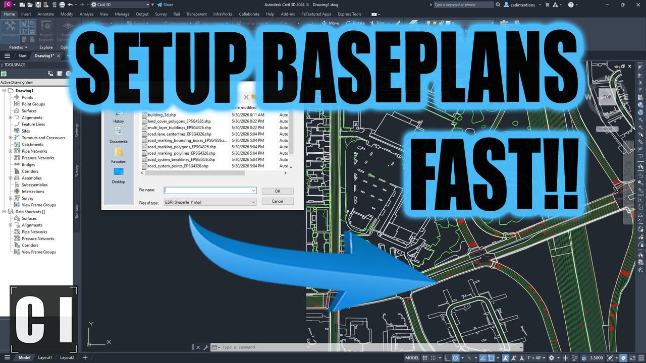
How to Import & Export SHP Files: Setup Civil Baseplans in Minutes with Shapefiles!
If your projects rely on accurate existing conditions data, Ecopia is a must try!
Ecopia uses AI and high-resolution aerial imagery to create highly accurate geospatial datasets that can support civil engineering, transportation planning, stormwater management, infrastructure projects, and more.
Their platform provides access to detailed mapping information such as roads, buildings, sidewalks, parking areas, impervious surfaces, land/tree cover and transportation features that can help accelerate project setup and planning.
For civil engineers and designers, having access to accurate data before design begins can reduce rework, improve decision-making, and help build stronger project foundations.
You can learn more about Ecopia here:
https://cadintentions.com/ecopia
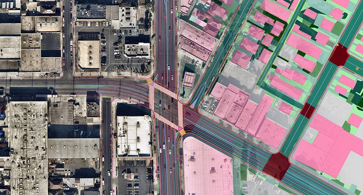
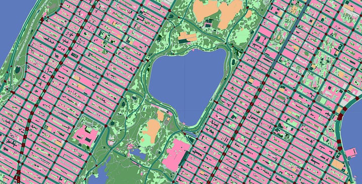

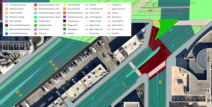
I hope you feel more comfortable working with shapefiles and GIS data in CAD now, and as always thanks for reading :) Have a great weekend
Cheers and happy drafting,
Brandon
P.S. If you’ve got a colleague always struggling with SHPs or any mapping/base data, be sure to forward them this email or send them a link!
They’ll thank you later.
Comments
Nothing yet. Say the first thing.
Sign in to join the conversation.