
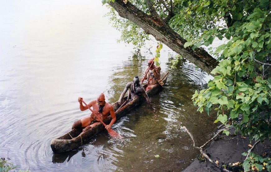
There is a temptation to give August 16, 1777, too much weight.
The Battle of Bennington was certainly a major defeat for British General John Burgoyne. Nearly 900 of his men were killed, wounded, or captured, and the loss seriously weakened his army. But another part of the story unfolded over the days and weeks that followed.
Something less visible was happening.
Burgoyne was beginning to lose some of the people his army depended upon to understand the country ahead.
Many of his American Indian and First Nation allies possessed knowledge of the country and ways of moving through it that European soldiers could not easily reproduce. Individual war parties and allied groups could scout, screen advancing forces, gather information, raid, pursue an enemy, and operate in terrain where conventional formations were cumbersome.
And after Bennington, many of those allies left.
The result was not literal blindness.
But Burgoyne was losing some of his eyes and ears.
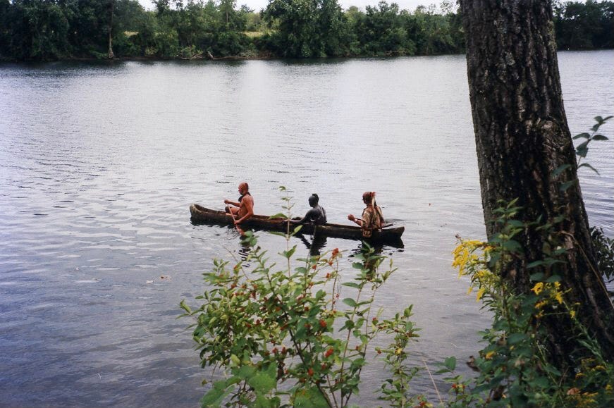
The phrase “Burgoyne’s Indians” conceals an extraordinarily complicated coalition.
The first wave began arriving in June from several communities along the St. Lawrence and its tributaries, which British officials commonly grouped under the term “Seven Nations of Canada.” They included communities at Bécancour, Caughnawaga, Lake of the Two Mountains, Lorette, Oswegatchie, Saint-François, and Saint Regis. Together, these communities contributed roughly 500 fighting men by the end of June. Their participation reflected political relationships, diplomacy, community interests, and military considerations.
Their presence was not simply military.
British officials, Canadian volunteers, interpreters, and allied communities formed part of the larger network that brought warriors into Burgoyne’s army. This was a diplomatic undertaking as well as a military one.
A second wave arrived in July, bringing additional 450 American Indian and First Nation warriors, including Fox, Menominee, Ojibwe, Ottawa, Potawatomi, Sauk, and Ho-Chunk, and 170 Canadian volunteers into Burgoyne’s army.
These were not interchangeable military units.
They represented different communities, leaders, histories, political relationships, and interests.
That distinction matters.
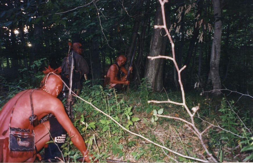
By August and September, American Indian and First Nation warriors accompanying Burgoyne served as scouts, quick-strike forces, and flanking and diversionary forces.
Their value became especially apparent as Burgoyne’s army moved farther south.
A European army marching through unfamiliar country depended upon roads, maps, guides, patrols, intelligence reports, and reconnaissance. Northern New York presented another problem: thick woods, scattered settlements, rivers, streams, hills, and an enemy increasingly able to appear where British officers did not expect them.
The American Indian and First Nation warriors could operate differently.
They could move ahead of the main army. They could watch an American position without exposing a large body of troops. They could move through woods where conventional formations were vulnerable. They could gather information and return with reports.
Burgoyne did not simply need more soldiers.
He needed information.
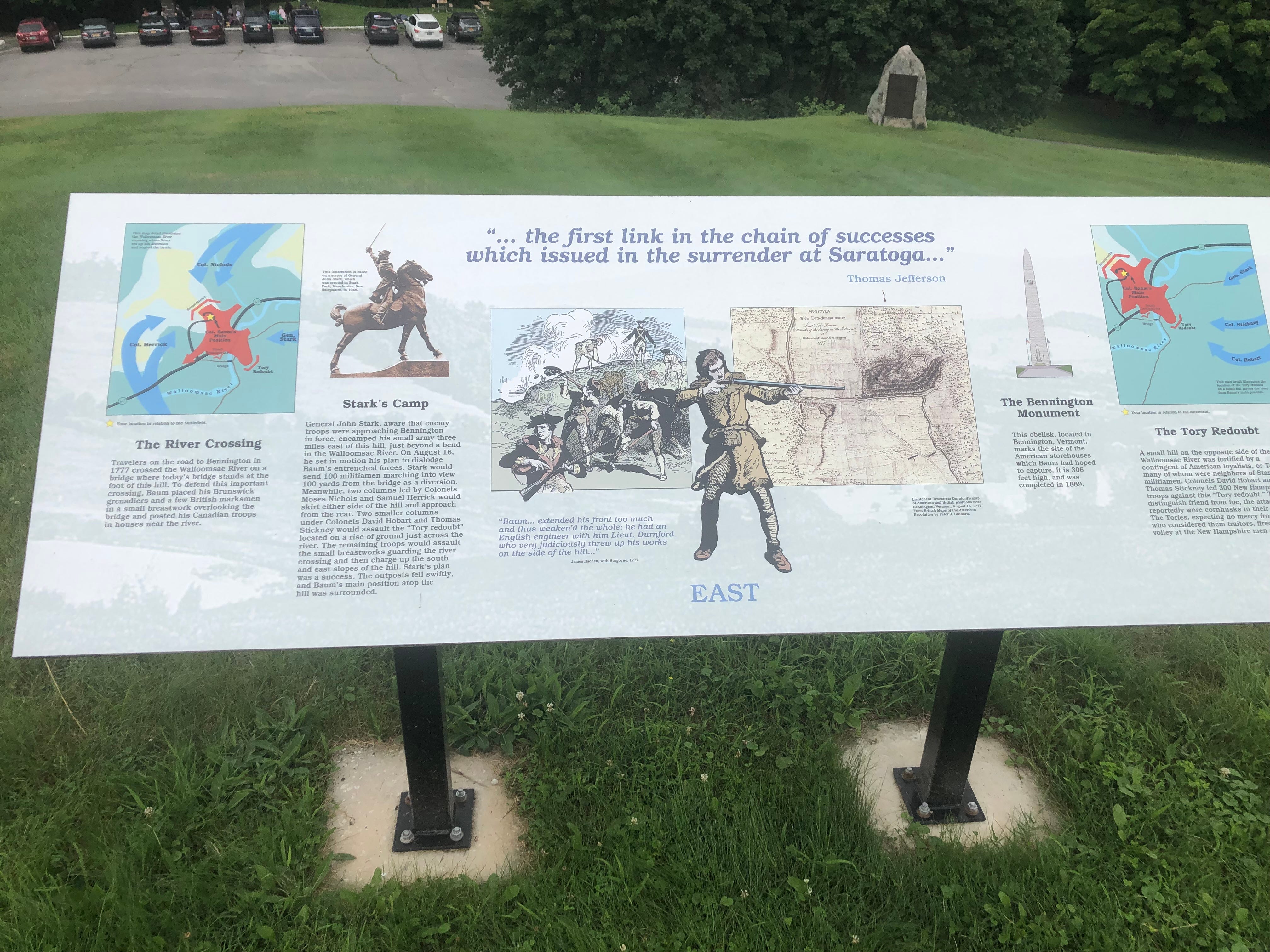
By the middle of August, the campaign was already under strain.
Burgoyne needed provisions, horses, cattle, wagons, and other supplies. The expedition to Bennington was intended to secure those resources. Instead, it produced a serious battlefield defeat.
Fortune had begun to turn against Burgoyne.
But misfortune did not stop at the battlefield.
Kevin J. Weddle’s The Complete Victory situates the departure of Burgoyne’s American Indian and First Nations allies within a broader deterioration of the campaign. They were already frustrated by restrictions placed upon them by European commanders. Bennington became the “last straw.”
On August 19, they held a council, and most decided to leave. Within days, most had gone north toward Canada.
That chronology is important.
It was not that every participant disappeared immediately after Bennington.
On August 28, Joseph Brant and three fellow warriors arrived at Burgoyne’s camp, offering their assistance and bringing news of British Lieutenant-Colonel St. Leger’s withdrawal. But by then the larger departure had already changed Burgoyne’s army.
By early September, most of his American Indian and First Nation allies had departed.
The distinction between August 16 and August 19–28 changes the story.
Bennington was the shock.
The withdrawal was a process.
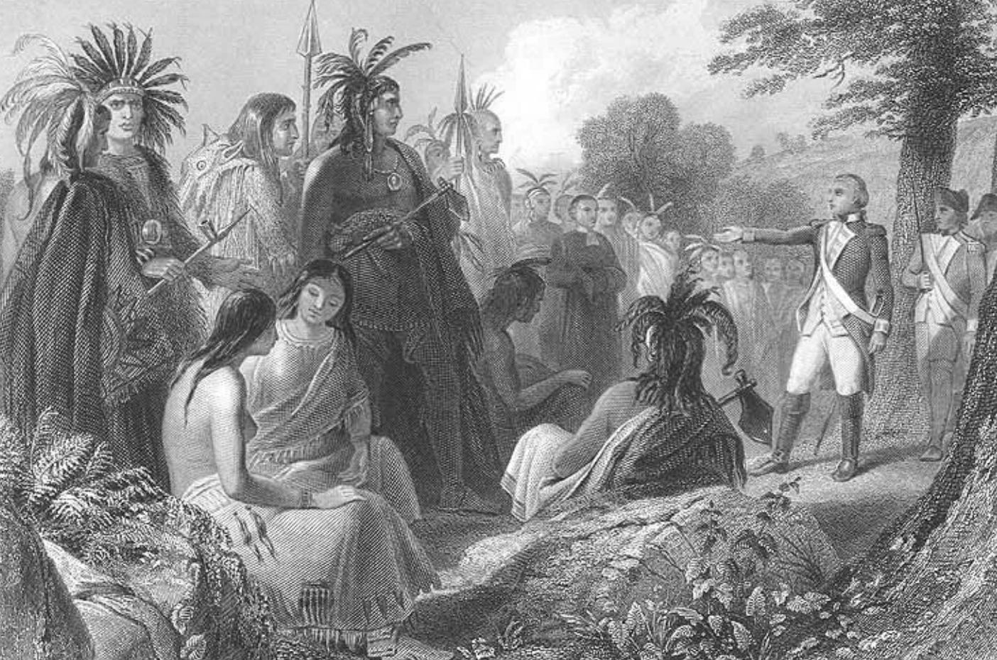
The simplest explanation is that Bennington frightened them away.
The historical explanation is more complicated.
Weddle’s account shows that dissatisfaction had already been building. European restrictions had frustrated Burgoyne’s allies. British and German soldiers themselves had mixed feelings about their presence and their methods of warfare. Some officers considered them difficult to control. Others recognized their military value.
The alliance was therefore conditional.
These warriors were not British soldiers following orders from Burgoyne.
They came with their own political interests, community concerns, expectations, and reasons for participating. Some sought to defend their communities and territories against American expansion. Others had established diplomatic relationships with British officials. Material considerations also mattered.
Their participation should not be reduced to loyalty to Britain.
Nor should their departure be described as disloyalty.
They were making decisions for themselves.
That is one of the most important interpretive lessons of the Saratoga Campaign.
Thanks for reading Past’s Paths! This post is public so feel free to share it.
The loss was not simply a number on a morning report.
Burgoyne lost a particular kind of military capability.
Fraser attempted to compensate for the loss by relying more heavily on Royalist Americans for patrol and scouting duties. But they were not equivalent. Weddle records a German officer’s observation that the Royalists were not suitable substitutes for the American Indian warriors who had provided security and reconnaissance.
That difference mattered.
Burgoyne’s intelligence system was still functioning. He had officers, scouts, patrols, Royalist networks, written reports, and other sources of information.
He was not blind.
But his range of reconnaissance had narrowed.
His ability to gather information beyond the army’s immediate perimeter had diminished.
His access to local knowledge had weakened.
And his army was moving deeper into a landscape that was becoming increasingly hostile.
The National Park Service’s campaign chronology places these developments alongside another strategic failure. On August 23, St. Leger’s expedition abandoned the siege of Fort Schuyler/Stanwix and retreated to Canada. Burgoyne was now, in the NPS’s words, on his own.
The timing mattered.
Burgoyne was losing one of the supporting elements that had been supposed to help his campaign succeed just as another, his American Indian and First Nation alliance, was deteriorating.
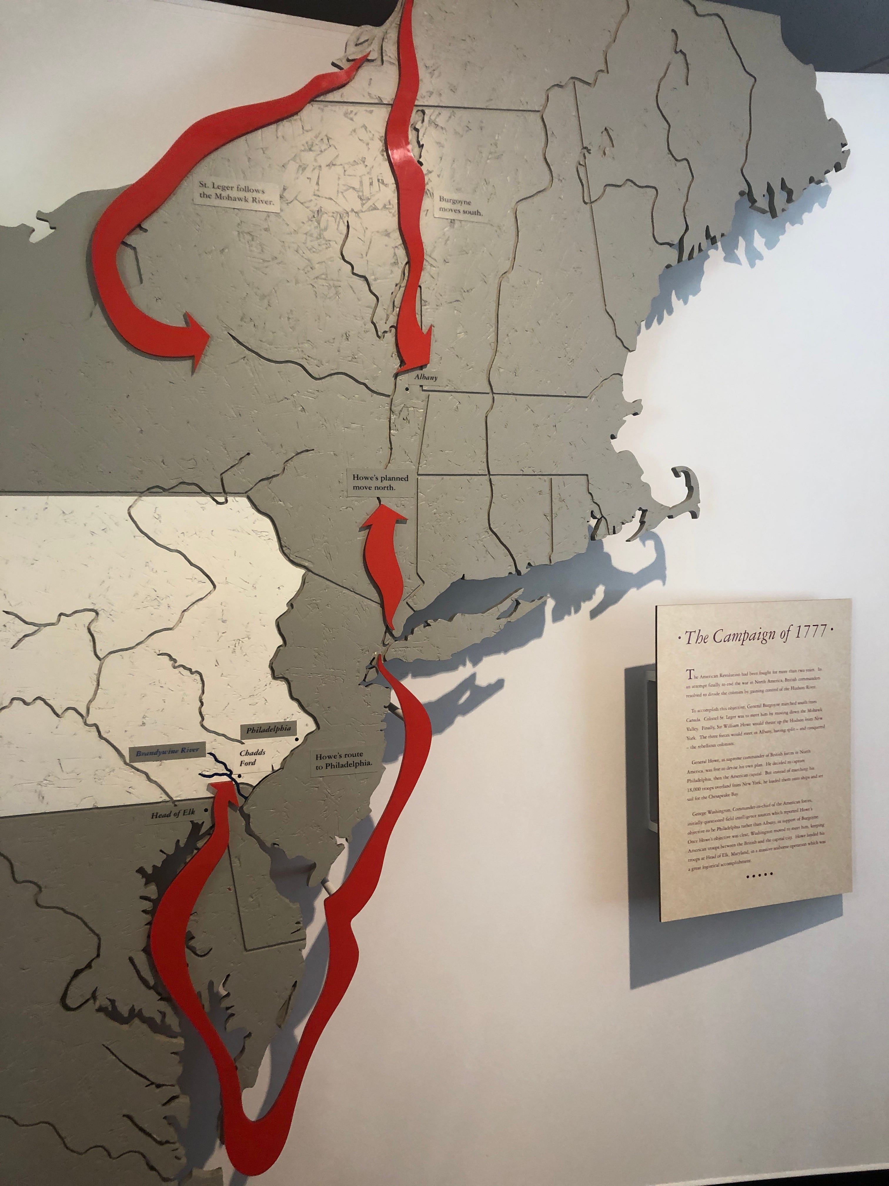
Burgoyne’s campaign had always been a contest with geography.
His army had come south through the Lake Champlain–Lake George–Hudson River corridor with an ambitious objective: reach Albany and help sever New England from the other American colonies. The strategy depended upon several British operations working together.
Instead, distance multiplied every problem.
Supplies had to move over increasingly difficult roads.
Communications became slower.
American forces grew.
Local resistance increased.
And Burgoyne had fewer reliable means of understanding what was happening beyond the immediate perimeter of his army.
By September, he was advancing into a landscape where American strength was gathering.
On September 12, thousands of American soldiers began fortifying Bemis Heights. Seven days later, the first of the Battles of Saratoga began.
The outcome was not predetermined.
Burgoyne still had a disciplined and dangerous army. He still believed the campaign could succeed. Weddle emphasizes that even after Bennington, the loss of his American Indian and First Nation allies, and St. Leger’s retreat, Burgoyne did not regard the campaign as finished.
But his margin for error had narrowed.
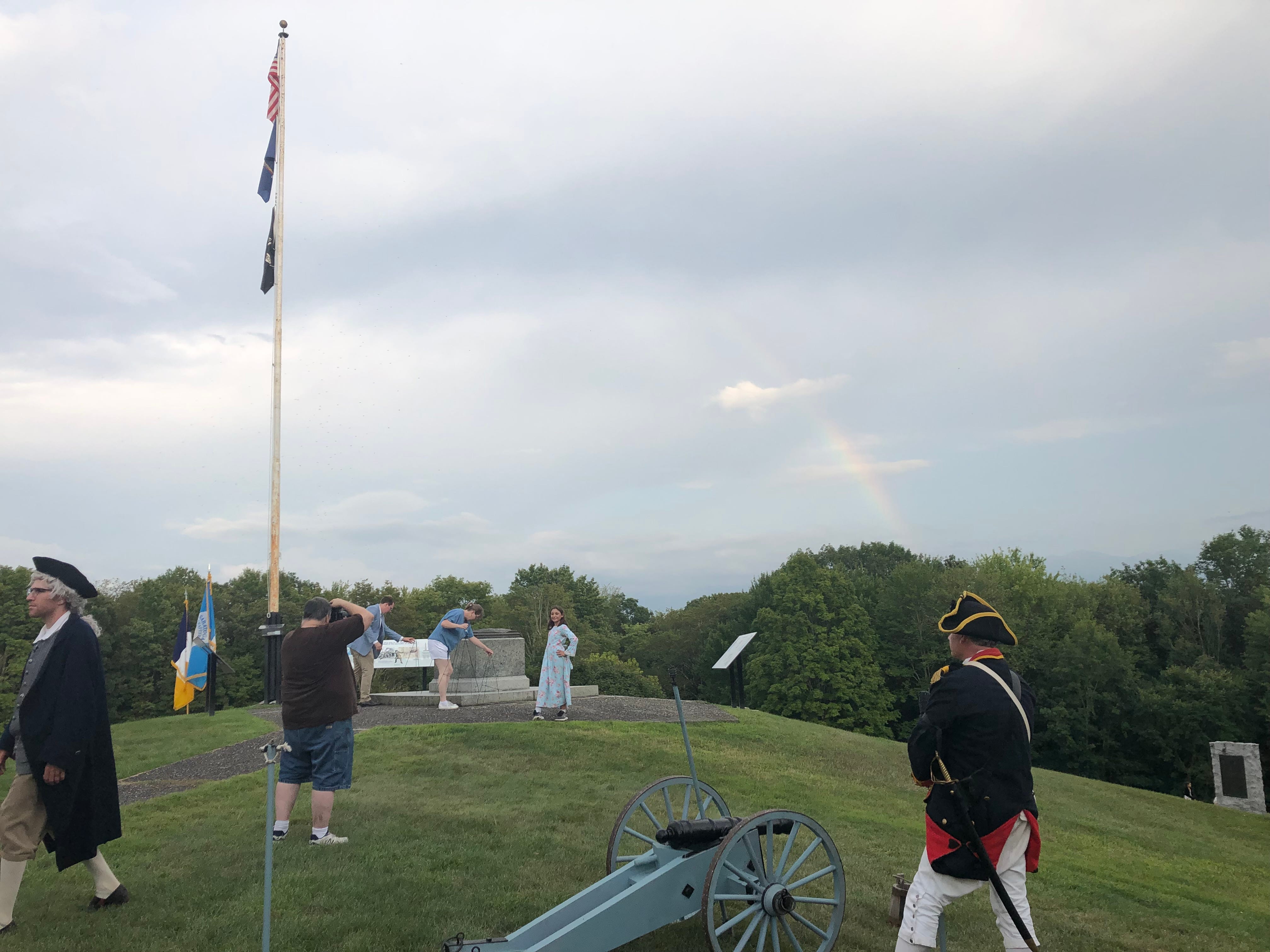
Bennington is often presented as a prelude to Saratoga.
That is true, but incomplete.
It was also a test of the system that sustained Burgoyne’s advance.
The defeat cost him men, supplies, and confidence. It also accelerated the departure of allies whose knowledge of the country had helped his army operate in unfamiliar terrain.
That is why the period after Bennington deserves more attention.
The important question is not simply who won at Bennington.
It is:
What did Burgoyne lose after Bennington that could not easily be replaced?
The answer was partly human.
He lost relationships.
He lost intelligence.
He lost a layer of reconnaissance.
He lost people who knew the country better than many of the soldiers marching through it.
Follow the route south, and Bennington no longer feels like a separate story.
It becomes part of a campaign unfolding across roads, rivers, forests, farms, settlements, and communities.
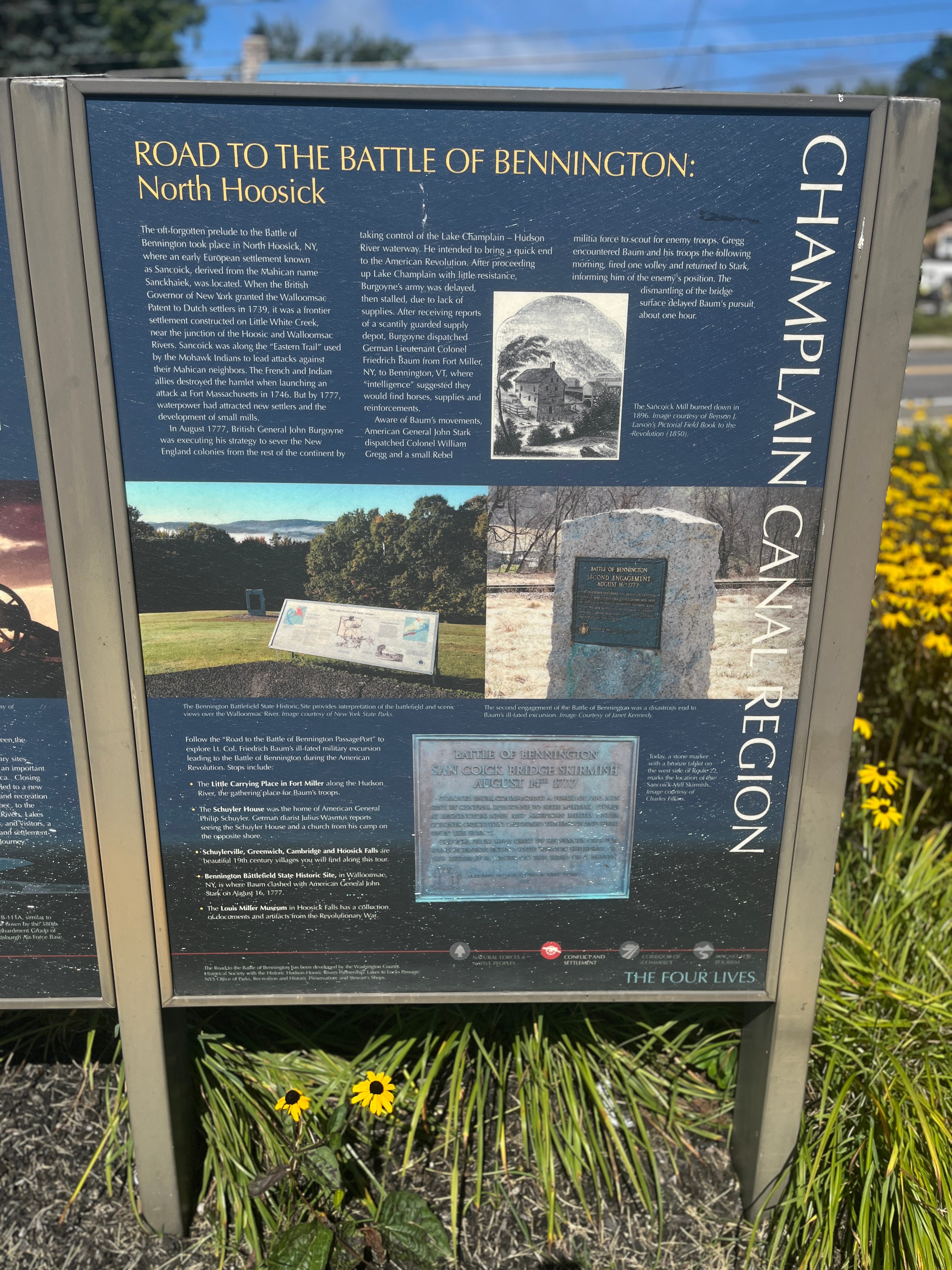
Visitors can still explore portions of this interconnected landscape.
For someone following the campaign by automobile, the story works particularly well as a weekend journey rather than a single battlefield visit.
Saturday — Bennington and Walloomsac
Begin at Bennington Battlefield State Historic Site in New York, where the fighting associated with the Battle of Bennington occurred.
Walk the battlefield landscape and consider how wooded terrain affected movement, visibility, and communication.
After exploring the battlefield, continue into Bennington, Vermont, to visit the Bennington Monument and Bennington Museum.
Look south toward the landscape Burgoyne’s detachment had crossed. The geographic distance between the British army and its supply objectives is easier to understand on the road than on a campaign map.
Sunday — Follow Burgoyne’s Northern New York Route
Begin near Fort Miller, where Burgoyne’s army established itself along the Hudson.
Continue south toward Saratoga National Historical Park.
At the park, use the Battlefield Tour Road to connect the geography of the campaign with the Battles of Saratoga.
Stop at the Saratoga National Historical Park Visitor Center before walking portions of the battlefield.
Continue to Schuylerville and Schuyler’s Saratoga Estates, where the Hudson River landscape helps visitors understand the importance of transportation, communication, agriculture, and military supply.
Allow time to explore the village and the Champlain Canal Region Gateway Visitor Center.
The goal is not to recreate 1777. It is to look closely at what remains.
The river is still there.
The hills are still there.
The wooded ridges, open fields, rivers, and crossings still help explain the choices soldiers had to make in 1777.
Standing in those places, visitors can begin to see why information mattered so much.
A commander could possess a large army and still struggle to understand the country in which that army was operating.
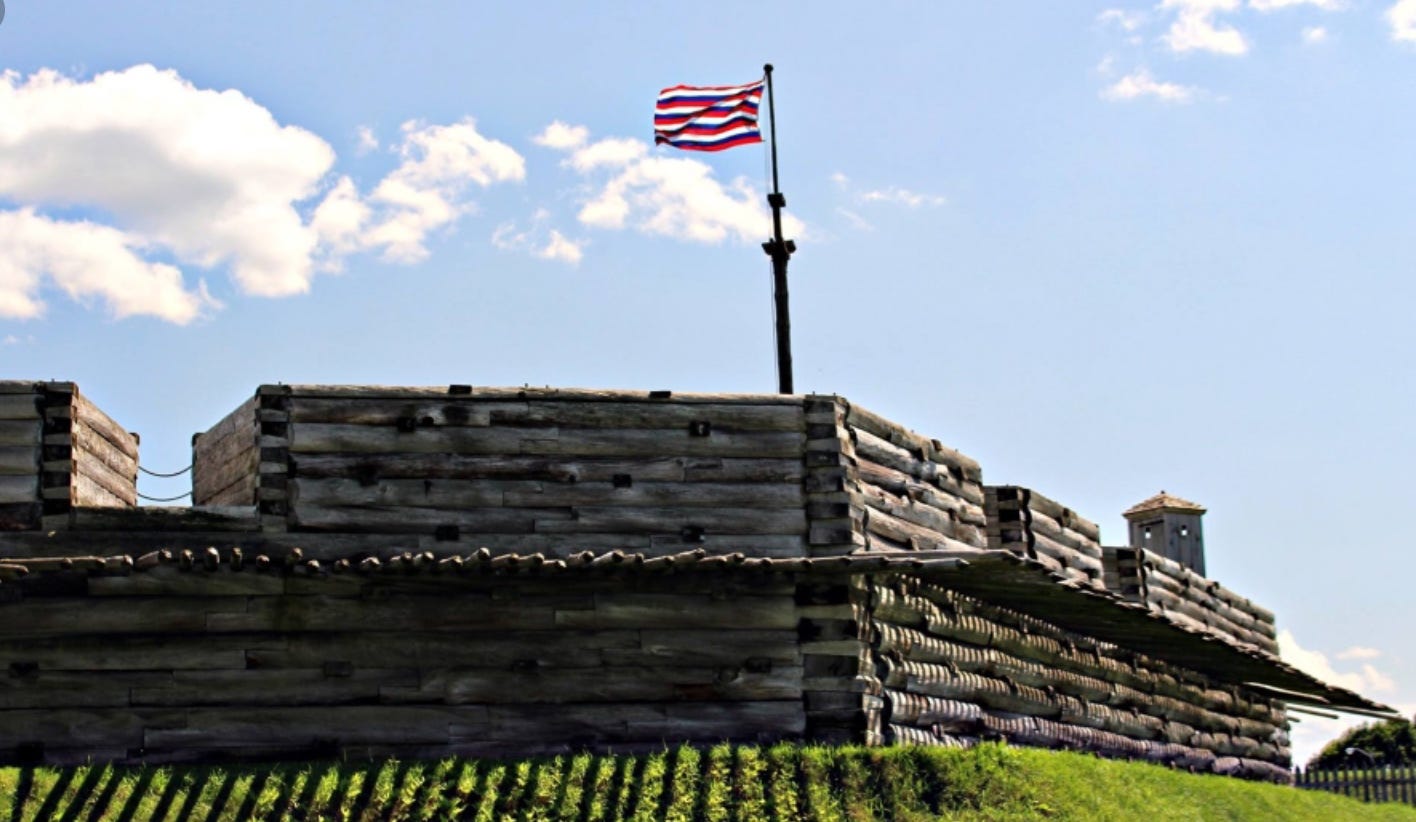
By early September, Burgoyne’s campaign had entered a new phase.
St. Leger’s withdrawal had removed the western arm of the British strategy. His American Indian and First Nation allies had largely departed. American forces were increasing. Burgoyne’s supply situation remained difficult. And the army was approaching an American position deliberately constructed to block the route south.
No single problem brought Burgoyne down.
The problems accumulated.
Bennington did not defeat Burgoyne.
But it helped make the rest of his campaign harder.
It weakened the army he had.
It exposed the limits of the army he thought he had.
And it demonstrated how dependent a European-style army could become upon people whose knowledge of the landscape was very different from its own.
The point is not that Burgoyne suddenly became blind and deaf.
His field of vision was narrowing at precisely the moment he needed to see farther.
And in the northern New York landscape of 1777, that mattered.
Fortune had begun to turn.
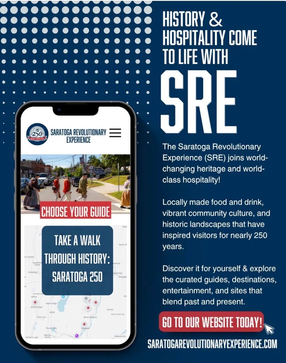
Read the full story, then follow Burgoyne’s route from Bennington toward Saratoga. Walk the ground, look at the distances, and see how the landscape connects Bennington to the Battles of Saratoga.
Where to begin: Bennington Battlefield State Historic Site, Walloomsac, New York.
Continue south: Fort Miller → Stillwater → Saratoga National Historical Park → Schuylerville.
The National Park Service’s 1777 Northern Campaign Story Map is a useful companion for following the campaign geographically.








Past Paths is just me—no institution, no funding—sharing Saratoga’s Revolutionary stories through place and memory. If you believe in this kind of work, I’d be grateful for your pledge.
Calloway, Colin G. The American Revolution in Indian Country: Crisis and Diversity in Native American Communities. Cambridge University Press, 1995.
Ketchum, Richard M. Saratoga: Turning Point of America’s Revolutionary War. Henry Holt, 1997.
Luzader, John F. Saratoga: A Military History of the Decisive Campaign of the American Revolution. Savas Beatie, 2008.
Schnitzer, Eric, and Don Troiani. Don Troiani’s Campaign to Saratoga—1777. Stackpole Books, 2019.
Weddle, Kevin J. The Compleat Victory: Saratoga and the American Revolution. Oxford University Press, 2021.
Gabriel, Michael P. The Battle of Bennington: Soldiers & Civilians. Foreword by Tyler Resch, The History Press, 2012.
NPS, “1777 Northern Campaign”: https://home.nps.gov/sara/learn/historyculture/places.htm
NPS, “Saratoga Battlefield Tour” Story Map: https://home.nps.gov/sara/learn/historyculture/index.htm
NPS, Saratoga Historical Handbook No. 4, “The St. Leger Expedition” and “The Battle of Bennington” chapters: https://www.nps.gov/parkhistory/online_books/hh/4/hh4toc.htm
NPS, “Colonials and Patriots” Survey — Saratoga entry: https://www.nps.gov/parkhistory/online_books/colonials-patriots/sitea10.htm
NPS, “Colonials and Patriots” Survey — Bennington Battlefield National Historic Landmark entry: https://nps.gov/parkhistory/online_books/colonials-patriots/sitec27.htm
Hartgen Archeological Associates, Inc. Northeast Section of the Saratoga Siege Battlefield: Cultural Resource Inventory. American Battlefield Protection Program Grant Agreement GA-2255-15-023, submitted to the Town of Greenwich, Washington County, NY, Apr. 2018
Saratoga250 — County‑wide commemoration of the 250th anniversary of the Battles of Saratoga. www.saratoga250.com
Saratoga National Historical Park — Preserving the American victory at Saratoga. 648 Route 32, Stillwater, NY 12170 NPS.gov/sara
Champlain Canal Region Gateway Visitor Center — Orientation to the region’s history and waterways. 30 Ferry St., Schuylerville, NY 12871 hudsoncrossingpark.org
Lakes to Locks Passage — A National Scenic Byway linking the waterways of the campaign. passageport.org
Discover Saratoga — Regional heritage tourism and travel planning. discoversaratoga.org
Saratoga Revolutionary Experience (SRE) — A curated gateway to the region’s Revolutionary heritage. saratogarevolutionaryexperience.com
Follow America’s Destiny — A self‑guided itinerary tracing waterways and battlefields from Saratoga to the canal era. eriecanalway.org/explore/Plan-Visit/itineraries/follow-americas-destiny

Comments
Nothing yet. Say the first thing.
Sign in to join the conversation.