
Life in the USA is not normal. It feels pointless and trivial to be talking about small looks at the fascinating natural world when the country is being dismantled. But these posts will continue, as a statement of resistance. I hope you continue to enjoy and learn from them. Stand Up For Science!
Episode #428
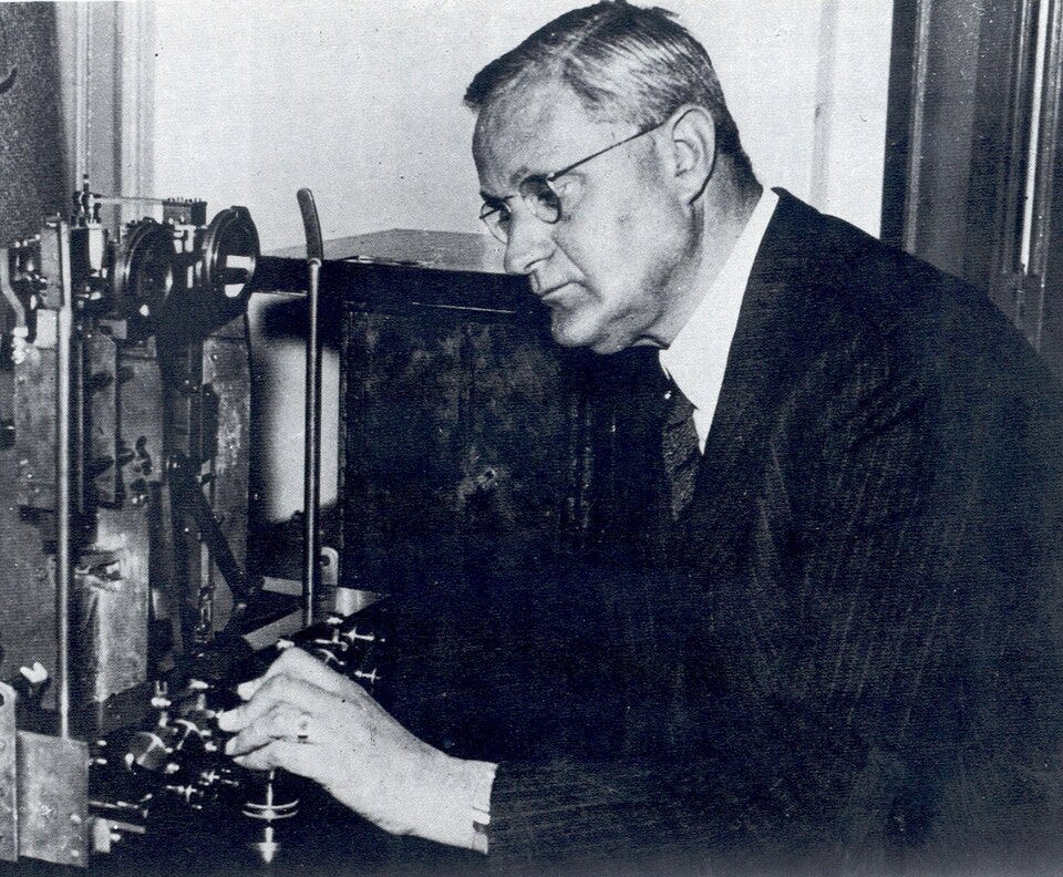
F.A. Vening Meinesz (1887-1966) was a pioneering Dutch geophysicist and geodesist (geodesy is from Greek meaning “earth division,” and generally means measuring or surveying the whole earth). About 1920 he invented a new meter for measuring the earth’s gravity field, a mechanism that utilized two pendulums swinging in opposite directions. The amplitudes of the swings were proportional to the gravitational attraction, and the difference provided a sensitivity that had not been previously available.
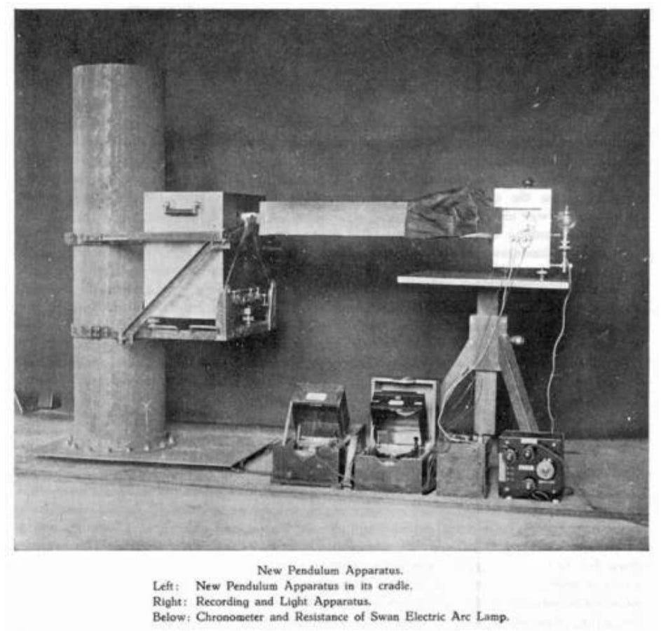
Gravity is an acceleration, so early gravity meters were stable, unmoving platforms (and many still are). Using the paired pendulums, the effects of horizontal accelerations were largely canceled out, making it possible to make measurements at sea on a boat, and submarines afforded even more stability. Today gravity measurements are obtained from moving aircraft as well, but in the 1920s this was a huge accomplishment.
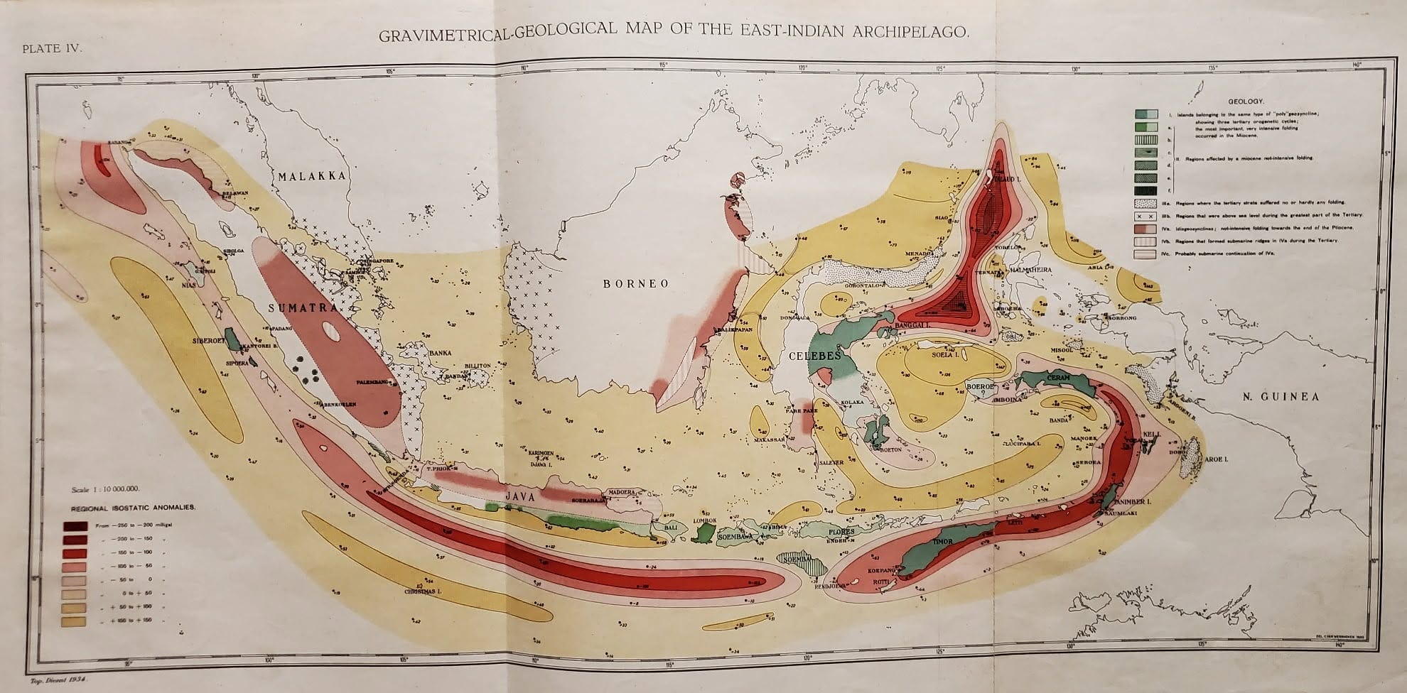
Vening Meinesz and his students took measurements in Dutch submarines from 1923 to 1957. His book Gravity Expeditions at Sea, 1923-32, reported on this work. My copy of Volume II covers a 1932 expedition in the Atlantic together with interpretation of data from earlier surveys around the world, particularly in the seas around the Netherlands East Indies (Indonesia today). The work showed correlations between submarine topography (things like mid-ocean ridges and unexpected deep trenches) and gravity anomalies that could not be explained by topography alone. This ultimately contributed significantly to the understanding of the radical (at the time) idea of continental drift, which evolved into the concept of Plate Tectonics in the 1960s.
The map shown here at top is crude by today’s standards of gravity field measurements, but this represents some of the first ever acquisition of gravity data at sea. The fold-out map is about 27 inches wide.
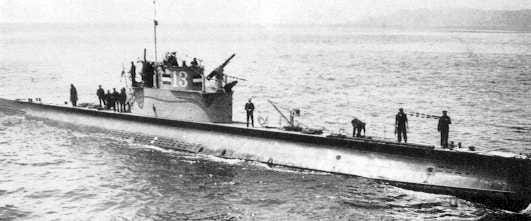
Vening Meinesz’ survey in 1932 was on board the Royal Netherlands Navy Submarine O-13, which later served convoy duty during the Spanish Civil War. O-13 was lost in June 1940 while patrolling in the North Sea, probably the victim of a German mine. The craft is referred to as “still on patrol,” as the last Dutch submarine lost in the war yet to be found.
My copy of this book was owned by G.F. Kaufmann, a 1921 graduate of the Colorado School of Mines. He was a founding member of the Society of Exploration Geophysicists in 1930 and worked for many years for the Standard Oil Company of Venezuela. By 1951 he was an exploration geophysicist for Standard-Vacuum Petroleum in Palembang, Sumatra, Indonesia (Indonesia gained independence from the Netherlands in 1945). Stan-Vac was a joint venture in the Far East of Standard Oil of New Jersey (later known as Exxon) and Socony-Vacuum (later, Mobil). Kaufmann retired from Stan-Vac in 1959.
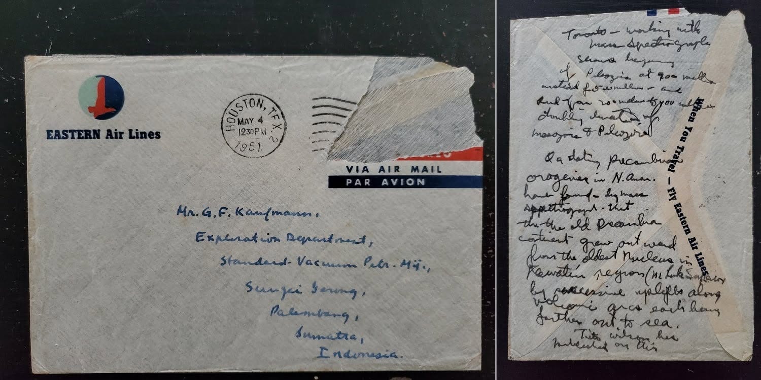
Kaufmann left a 1951 envelope in his book which is still there, addressed to him in Indonesia. On the back are scribbled notes, probably by Kaufmann, that appear to relate to a meeting in Toronto with J. Tuzo Wilson, another pioneer of Plate Tectonics who was Professor of Geophysics at the University of Toronto.
Vening Meinesz fought with the Dutch resistance during World War II, and there is a crater on the moon named for him honoring his scientific accomplishments. He was a tall man, at more than 200 cm, about 6 feet 6 inches. One can imagine him working in the cramped conditions of a submarine, but making some of the most seminal observations in the history of geophysics.
Comments
Nothing yet. Say the first thing.
Sign in to join the conversation.