
Forecasting & Data Analytics Corner: Modelling using AI & ML · Aug 7, 2026
Mapping Urban Sprawl Risk Beyond Administrative Boundaries
0Sign in to vote or save
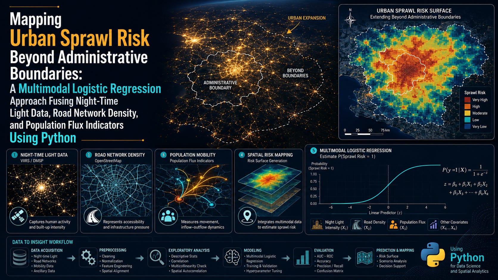
A Multimodal Logistic Regression Approach Fusing Night-Time Light Data, Road Network Density, and Population Flux Indicators Using Python
Comments
Nothing yet. Say the first thing.
Sign in to join the conversation.