
Just a twenty minute drive from my house is a special place, that always makes me feel like I have been transported to somewhere much further away.
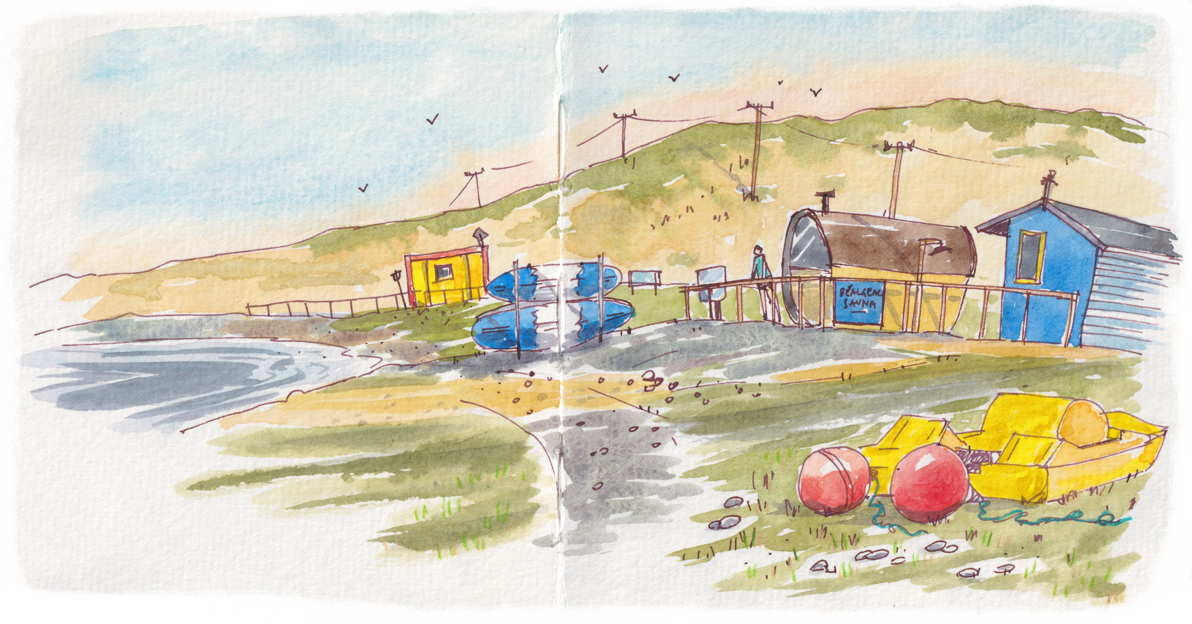
Leaving my house on the edge of the Slieve Mish Mountains1, I drive down towards the coast, past green fields of sheep and cows with full shrubby hedges, then through the small village of Castlegregory. Turning out of the village, the landscape suddenly changes, leaving the mountains well behind me, everything is much flatter and windswept. This is the Maharees2; not quite like anywhere else on the south west coast of Ireland.
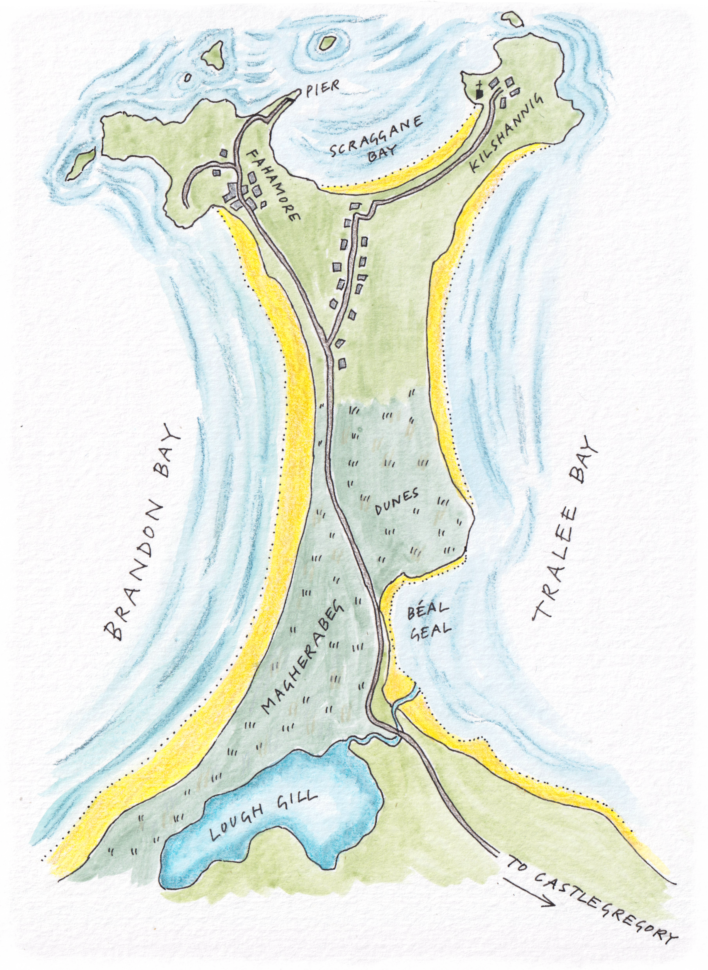
The Maharees is a 5km sandy tombolo3 that reaches north into the Atlantic, with Tralee Bay on one side and Brandon Bay on the other. As I drive along, with the sweep of the sea to my right, ahead are high sand dunes, covered in marram grass, that catches the light and ripples silver in the wind. There are few trees and hedges here, most not thriving in the sandy soil and the harsh salt laden winds that blow through, especially in winter. Carrying on further the road cuts close to the coast, and there is a Blue Flag beach, a popular spot for watersports, and beyond that, more dunes with a silver-green cover of marram grass. The road itself is sandy along the edges, giving the feeling that I’m driving through the dunes themselves, marram grass brushing past on either side.
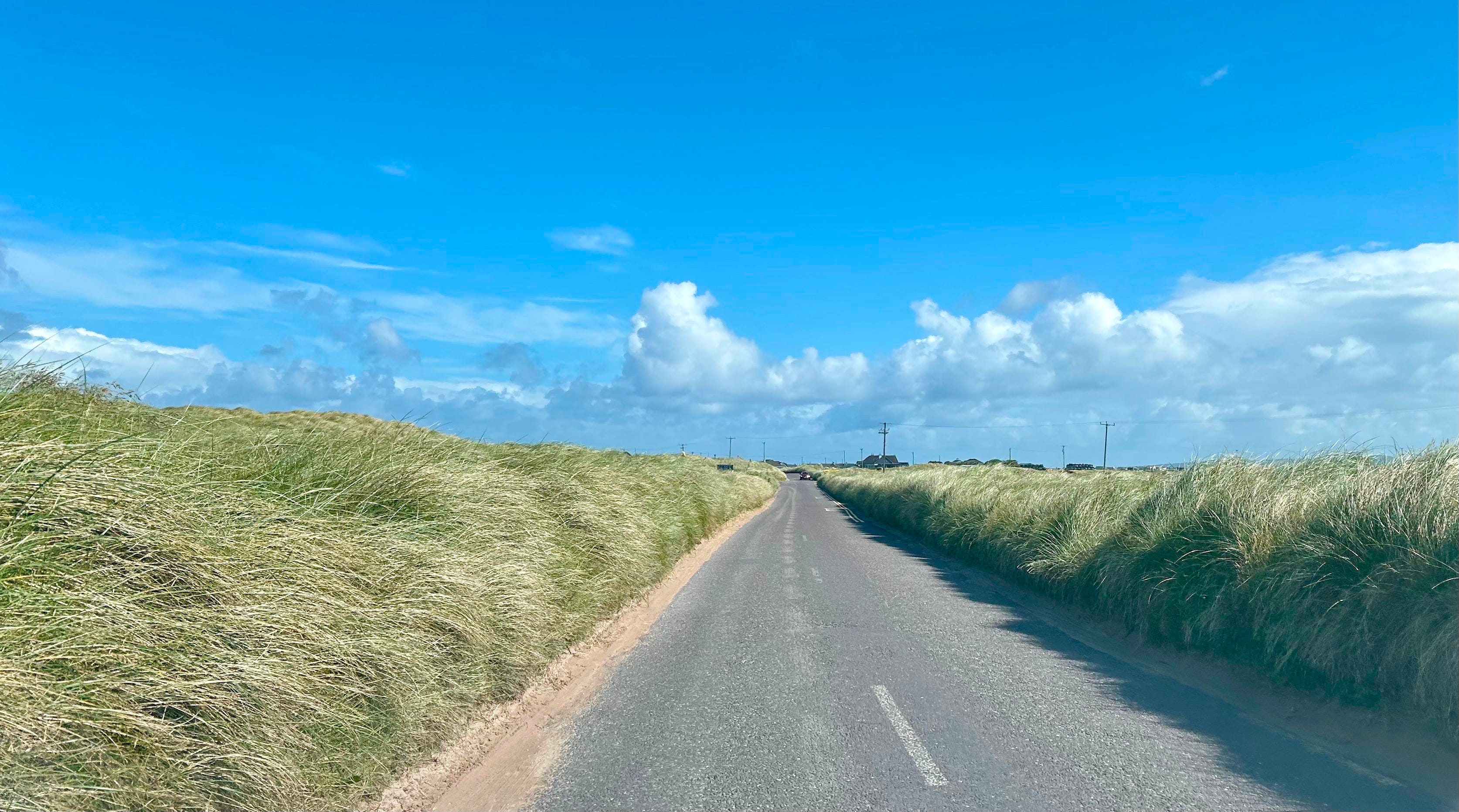
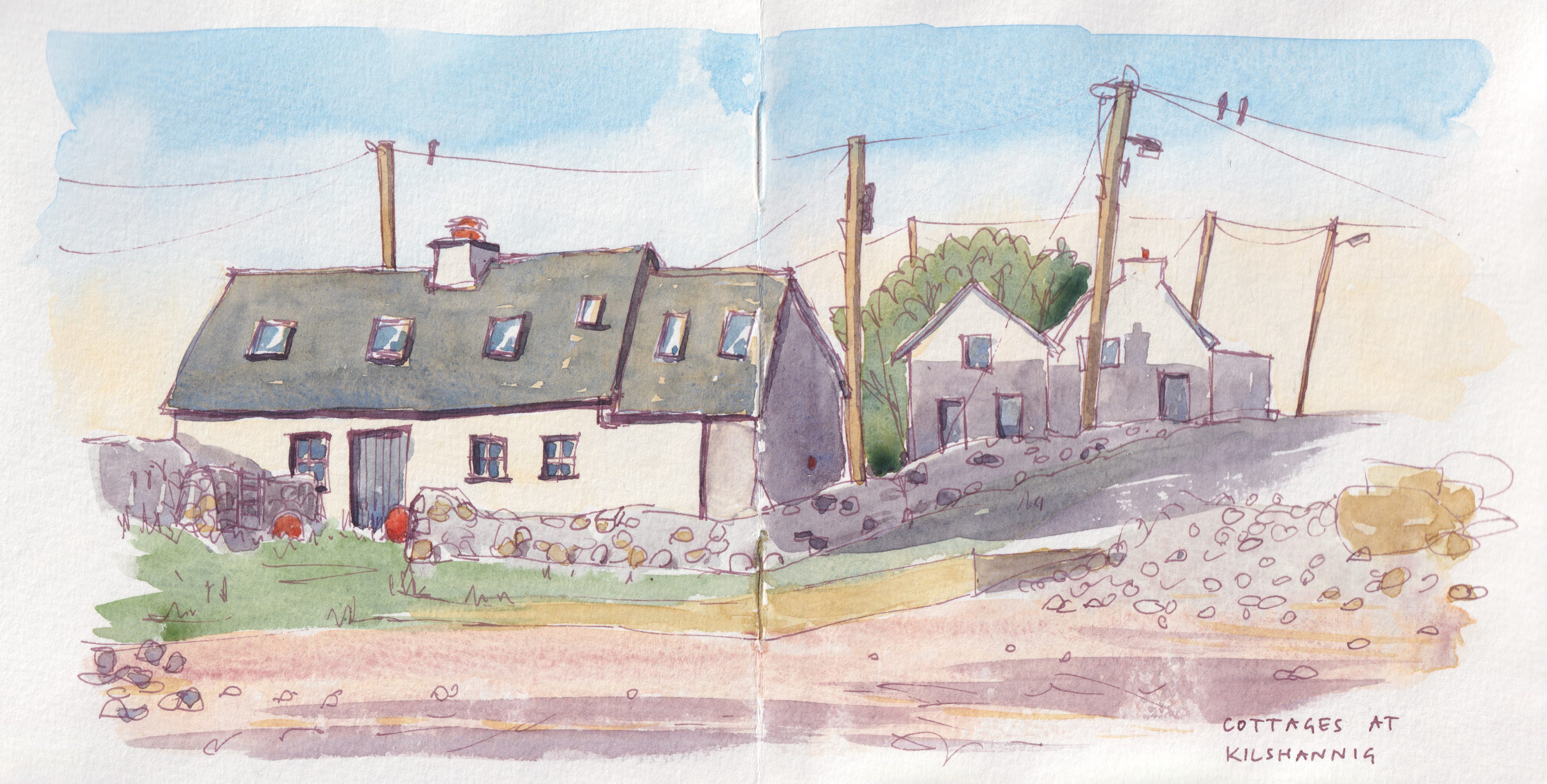
The light feels different here; brighter and sunnier, bouncing and reflecting off all the sea, sand and silver grass. The houses are low, hunkering down against the fierce winter winds; a mix of traditional cottages and newer low built houses. The telegraph poles lean at jaunty angles, their wires blowing horizontal on a windy day. This area is called Magherabeg, from the Irish An Machaire Beag, meaning ‘the small plain’, although today the landscape has been sculpted into undulating dune hills. Somewhere beneath the sand is Old Magherabeg, the old village of the area, abandoned in the eighteenth century when the blowing sands drifted up and over the houses, forcing residents to move elsewhere on the Maharees.
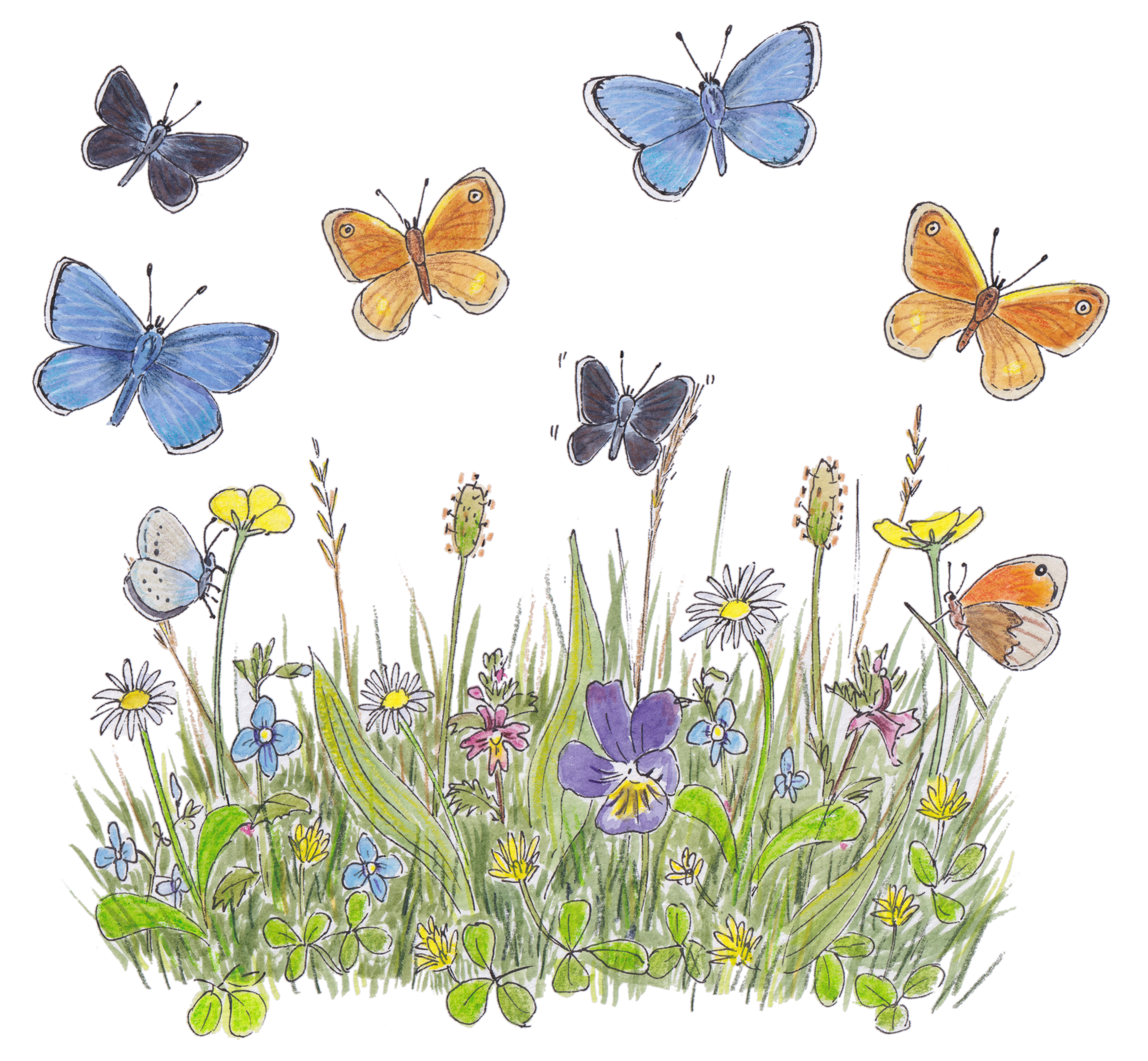
I stop to take a walk along the edge of the dunes, following the curve of the bay. The waves have thrown up a ridge of pebbles, and I watch my step, as it is nesting season for the ringed plover that lay their eggs between the stones. I see a few plovers at a distance, but I don’t spot a nest. Turning away from the beach I follow a path through the dunes, with the marram grass swishing my legs. Underfoot the dunes have sufficiently stabilised, that there is a short sward, studded with wildflowers; daisy, hop-trefoil, butter cups, eye-bright and germander speedwell to name a few. The grazers here are cows, who are more selective, and therefore less damaging to the ecosystem than sheep would be.
As I dip over a dune, I am suddenly out of the wind, and ahead the dunes and marram grass stretch on in all directions. I stay for a while, looking at the various wild flowers, pleased to spot some beautiful and aptly names bee orchids poking up between the marram grass. Above me the skylarks are singing high up in the blue sky (turn the volume up on the video above to hear them). In the sheltered, sunny hollows between the dunes I notice a large number of butterflies flitting around. Tiny flashes of blue, brown and orange. I follow them until they settle lone enough for identification.
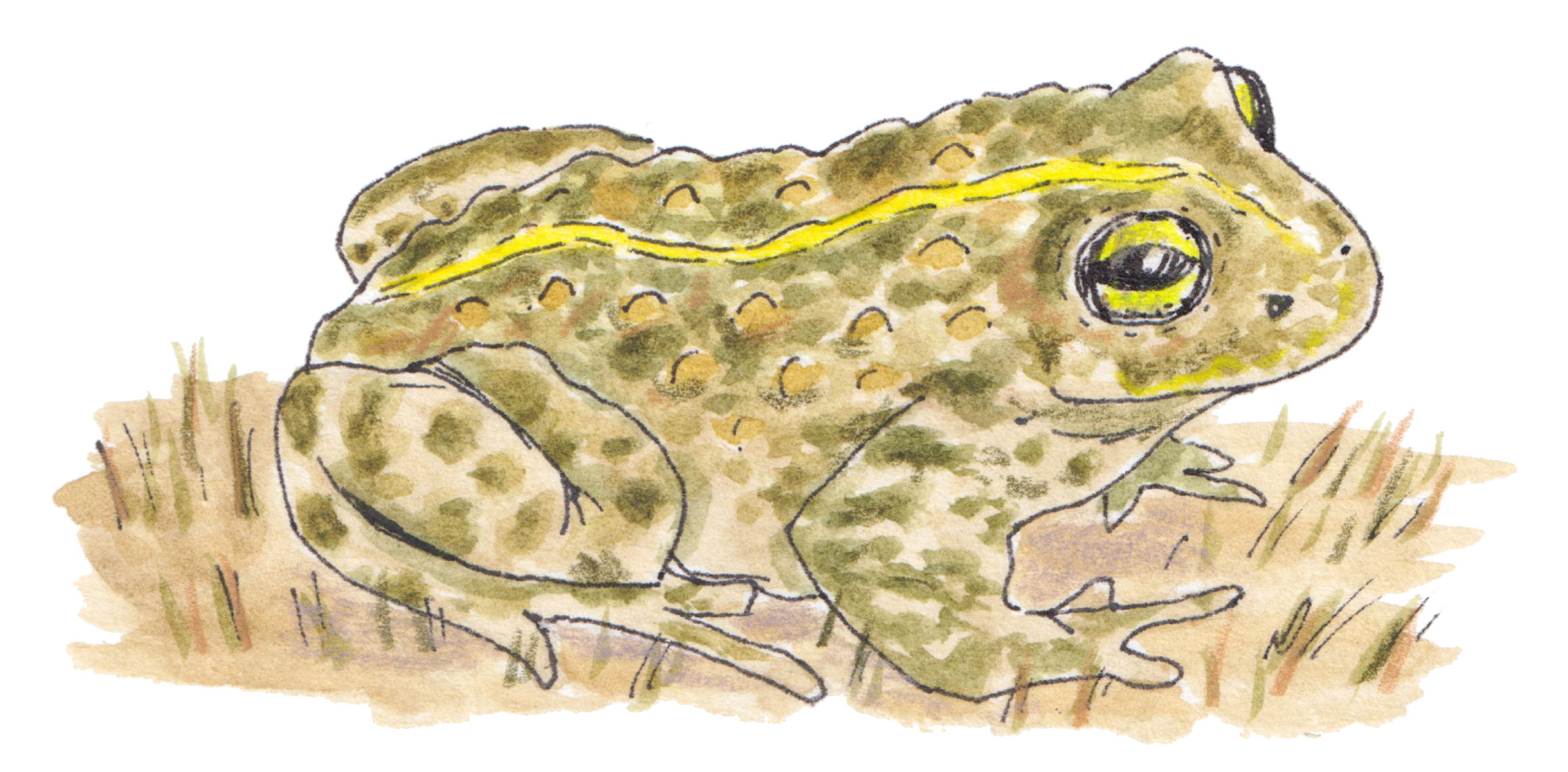
The dune system on the Maharees is one of the largest in the south of Ireland, a unique habitat that is rightly protected as a special area of conservation. One of the very special inhabitants of the dunes is the natterjack toad, which in Ireland, is only found naturally in County Kerry4. Here it breeds in only a handful of sites, using shallow pools that appear in the dune slacks, then spending most of the rest of their lives in the sandy dunes.
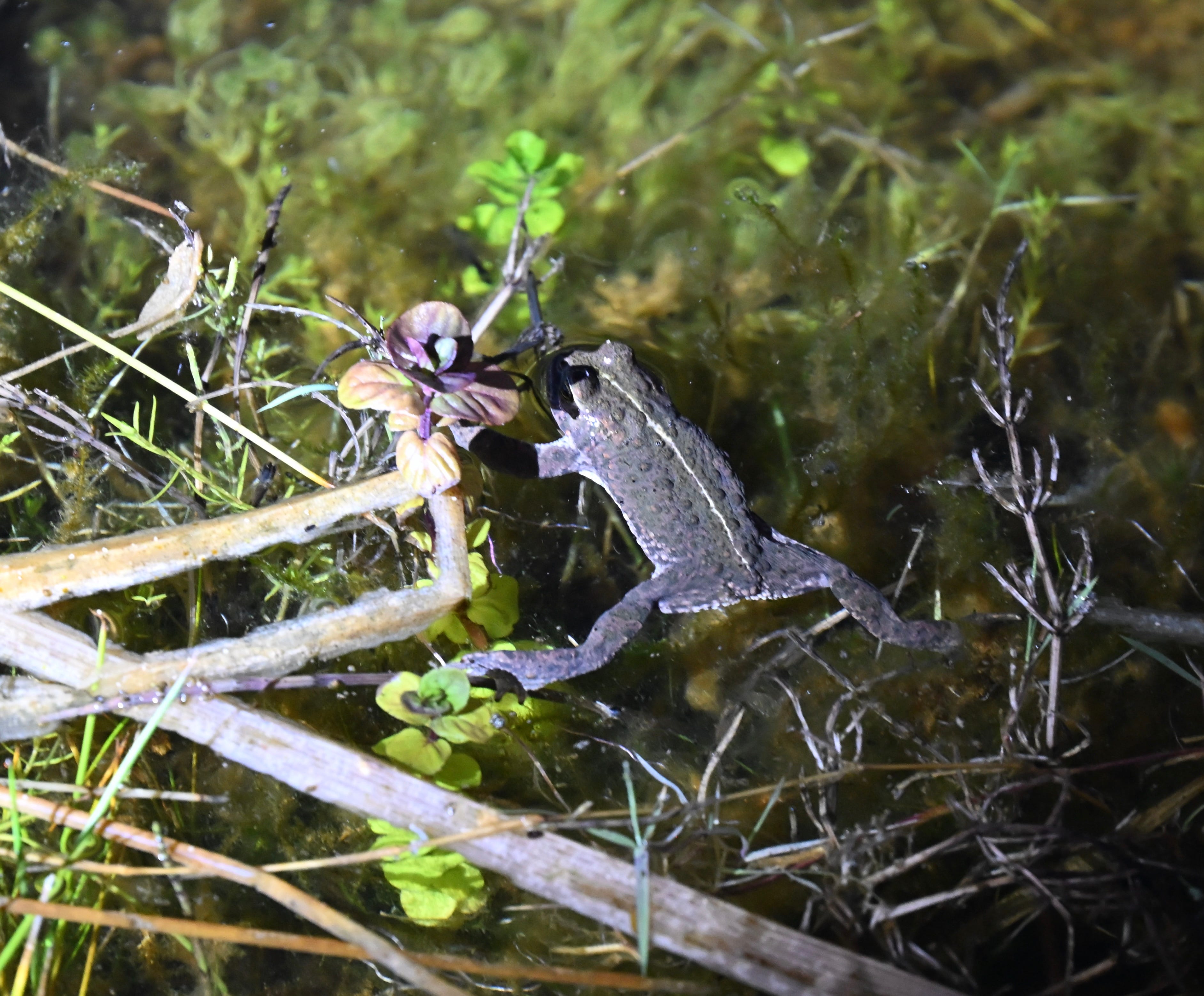
Recently I took part in an evening guided walk to hear the natterjacks ‘singing’ at the start of their breeding season to attract a mate. As the light faded and we walked along to one of shallow pools, the air was filled with sound of singing toads. Looking into the pools, here and there along the edges were these small, warty looking amphibians. Much smaller than our common frog and with a distinctive yellow stripe down their backs, the female laid her eggs in strings (rather than a mass of frogspawn), and will then crawl (they don’t hop) back to their life in the sand dunes.
Back on the road and travelling further along, the dunes flatten. Here there are small fields, divided with low stone walls, these days mainly used for grazing cows or horses. But in the past the Maharees was known for vegetable growing, especially onions and carrots. A few growers still hang on, and local restaurants proudly serve Marahees carrots on their seasonal menus.
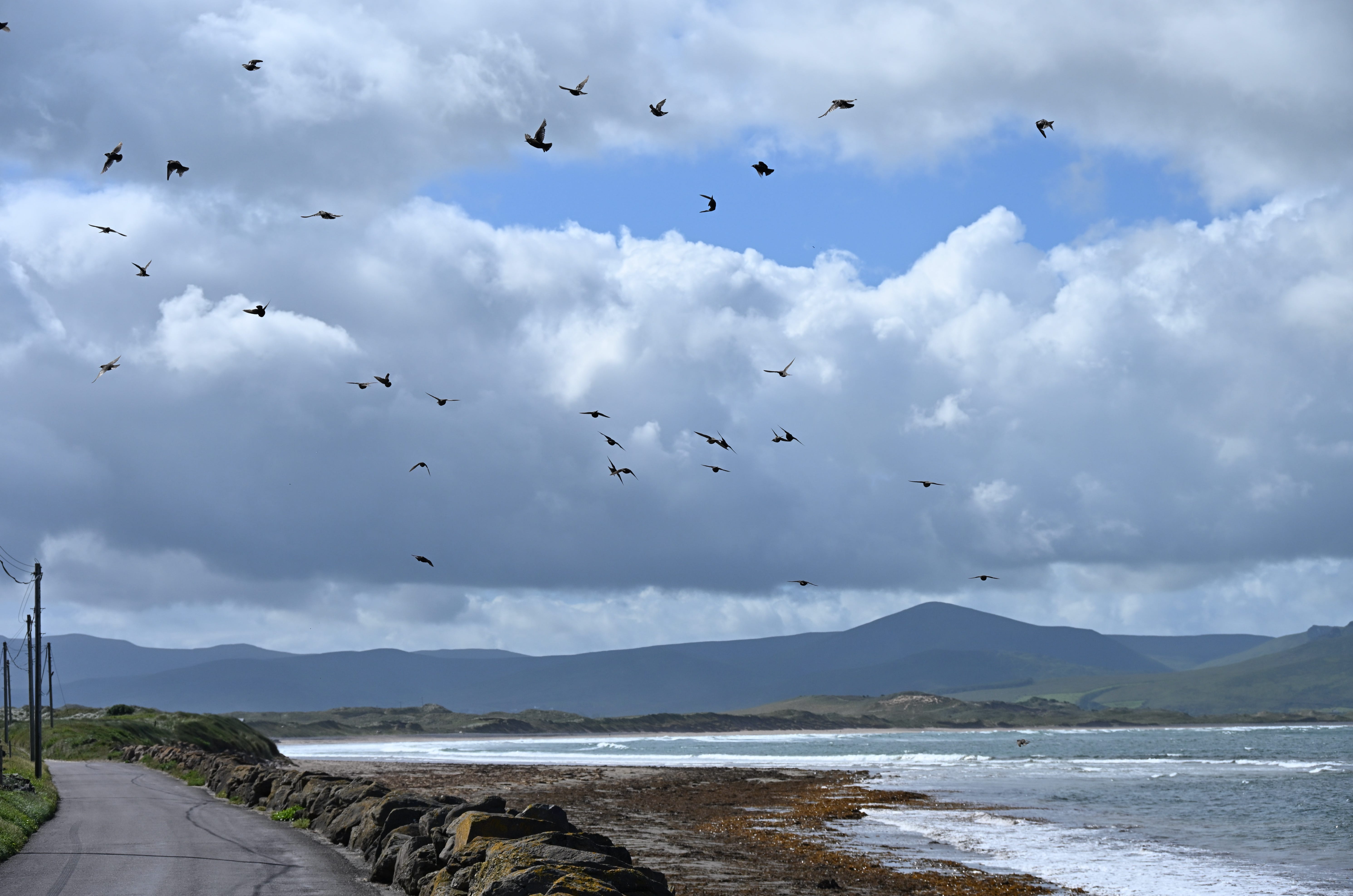
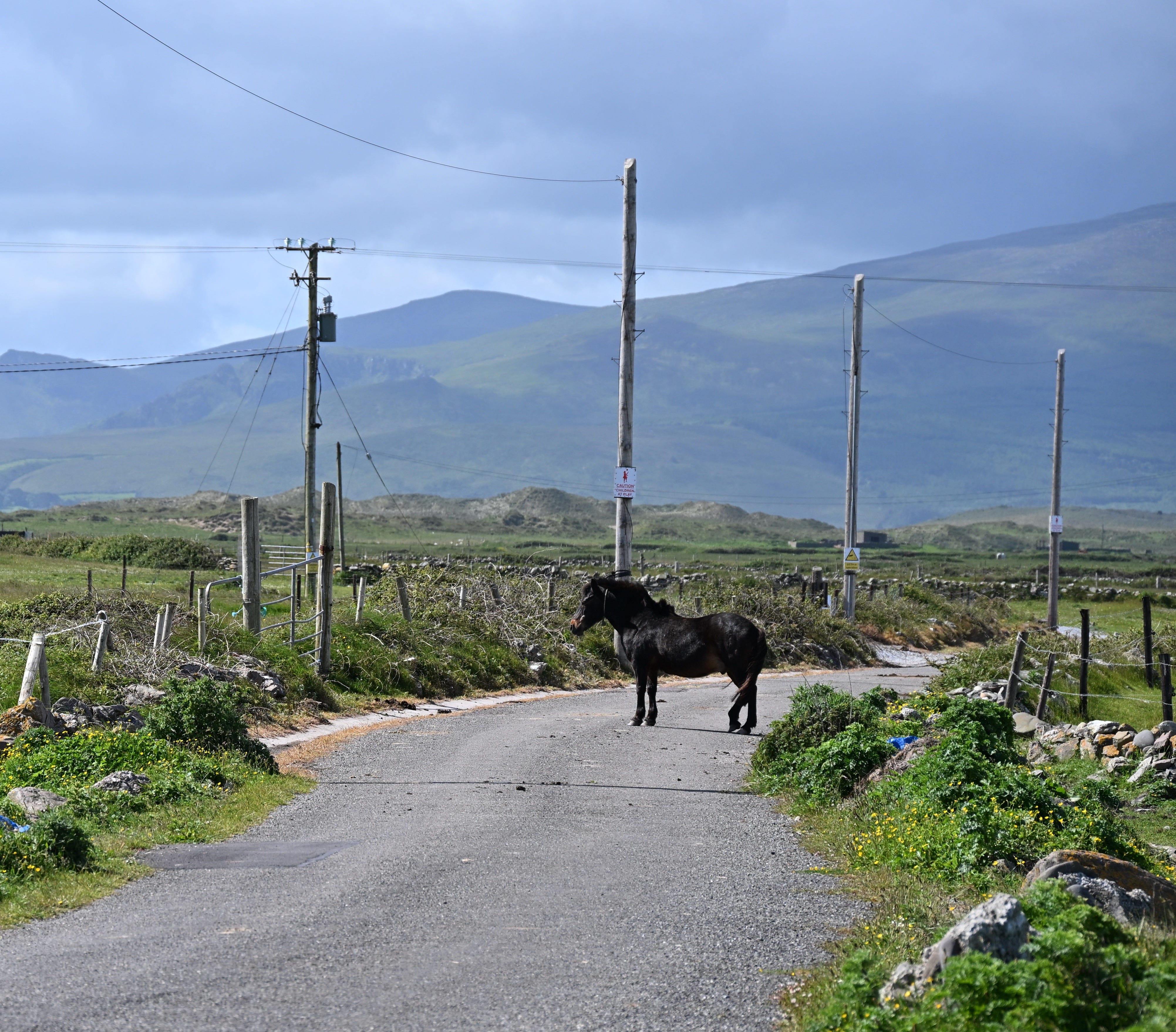
Their aren’t many roads out here; a choice of two, one curving west to Fahamore, and one curving east to Kilshannig. Taking the road to Kilshannig, the road follows closely against the curve of the northern most beach of Scraggane Bay, and across the water small fishing boats bob, moored at Fahamore Pier. As I drive along I disturb great flocks of starlings, feeding on the verge, that swirl around the car like flapping leaves, only to resettle further ahead of me. The horses in the fields aren’t fenced in, so occasional wander across the road, on the hunt for better grazing. On one memorable sketching trip out here, myself and a friend were surround by an inquisitive group of horses, getting a bit too close for comfort. Thankfully she was a better horse-wrangler than me, and led them off down the road!
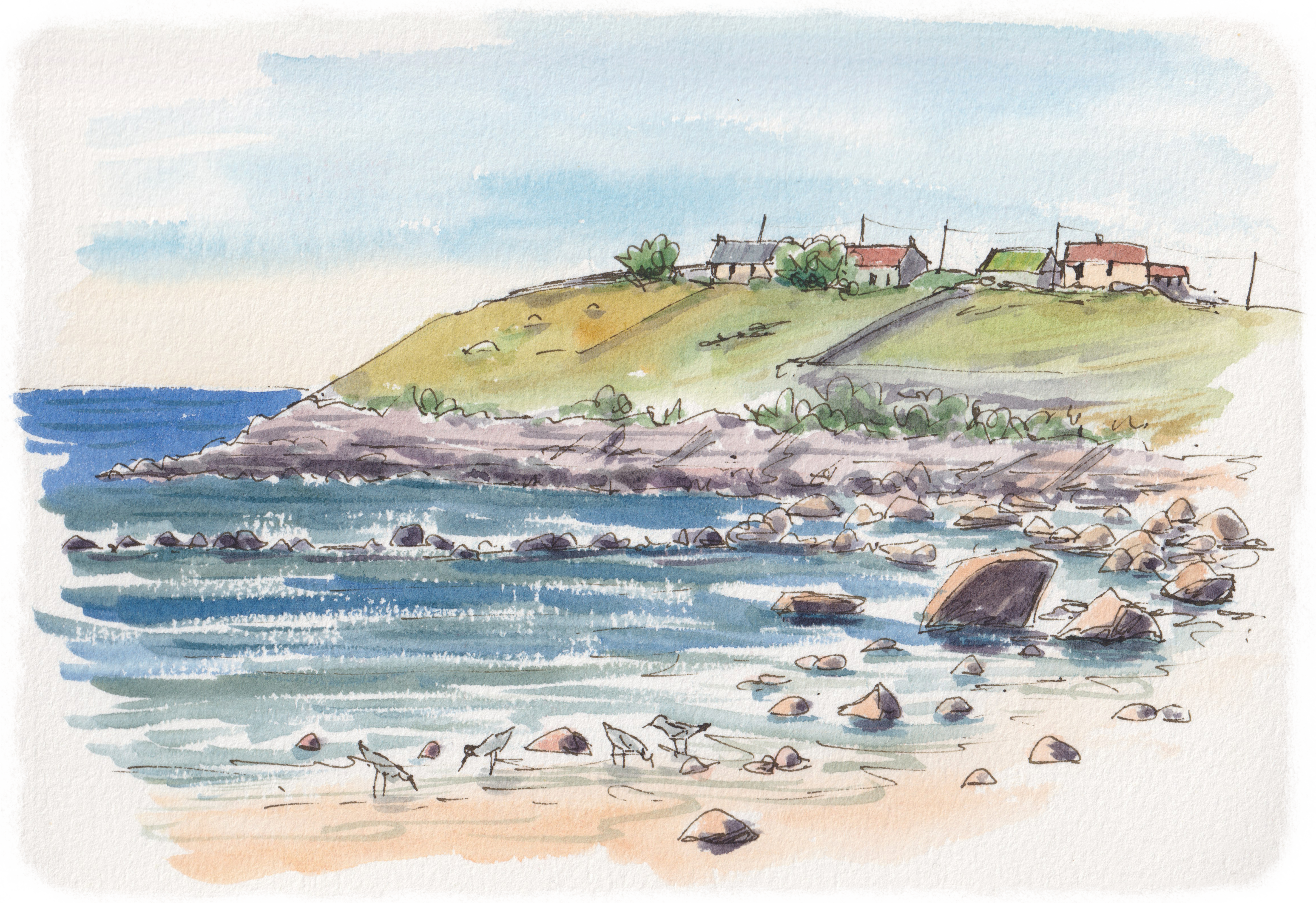
I often drive out the Kilshannig to sketch the old cottages here and wander along the beach, watching the birds on the shore. There is the ruins of St. Seannach’s church, dating from the 7th century, and a small graveyard here, perched right above the water’s edge. Within the old church walls is an even older relict; a 5th century cross, which was moved from an old monastic site on one of the islands out in the bay.
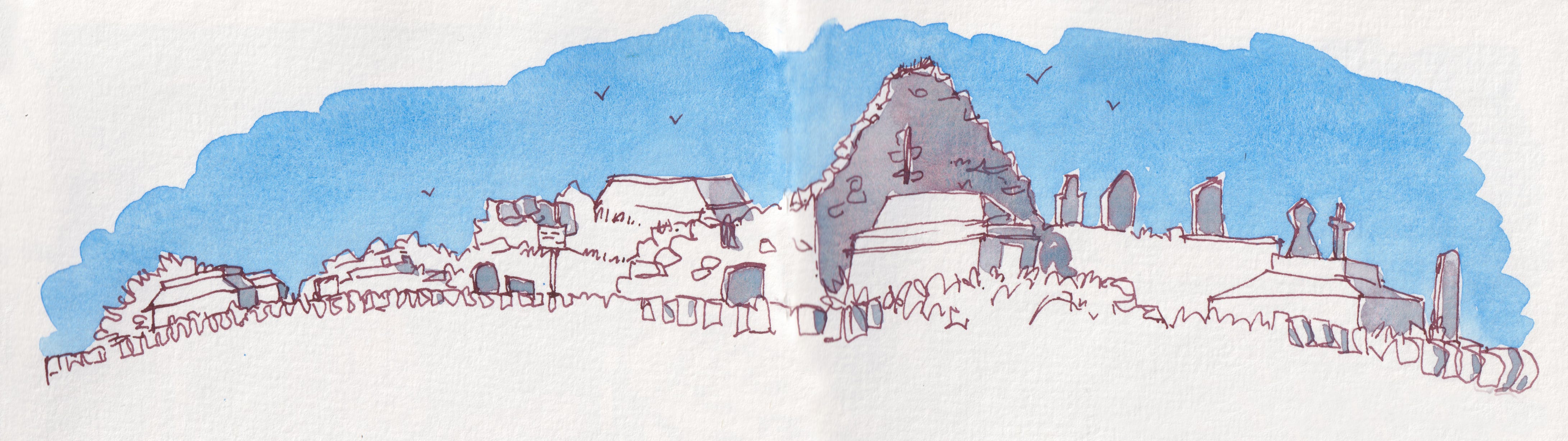
Looking back towards where I have come from, I can see the mountains that run as a ridge along the Dingle Peninsula. On this sunny day, they are a bit hazy, but I can see the clouds building up, slowly covering the tops. As I drive back home, back past the sand dunes and the sunny bay with the children getting their wetsuits on, the clouds have grown dark over the hills. I pull out of Castlegregory, and back onto the main road and into the drizzle. By the time I get back home, the rain is heavier. From my house I can look down onto Tralee Bay and see the Maharees on the horizon, glowing golden, still in the sunshine5.
If you would like to learn more about the Maharees and the small community that lives there, the ‘Will it Stay Fine?’ is a fantastic recent podcast series sharing stories about what makes the Maharee such a special place.
The Maharees is a popular holiday destination, perhaps you have visited or stayed here? I’d love to know…
They are called mountains, but elsewhere in the world you might call them hills, but rugged and craggy nonetheless.
A sandy/shingle split that has over time connected to an island.
A conservation population has been introduced to a site in Wexford to help boast the Kerry population (an amphibian insurance policy of sorts).
There is a local joke that “the sun always shines on the Maharees”, which so often seems to be the case!
No posts
Comments
Nothing yet. Say the first thing.
Sign in to join the conversation.