
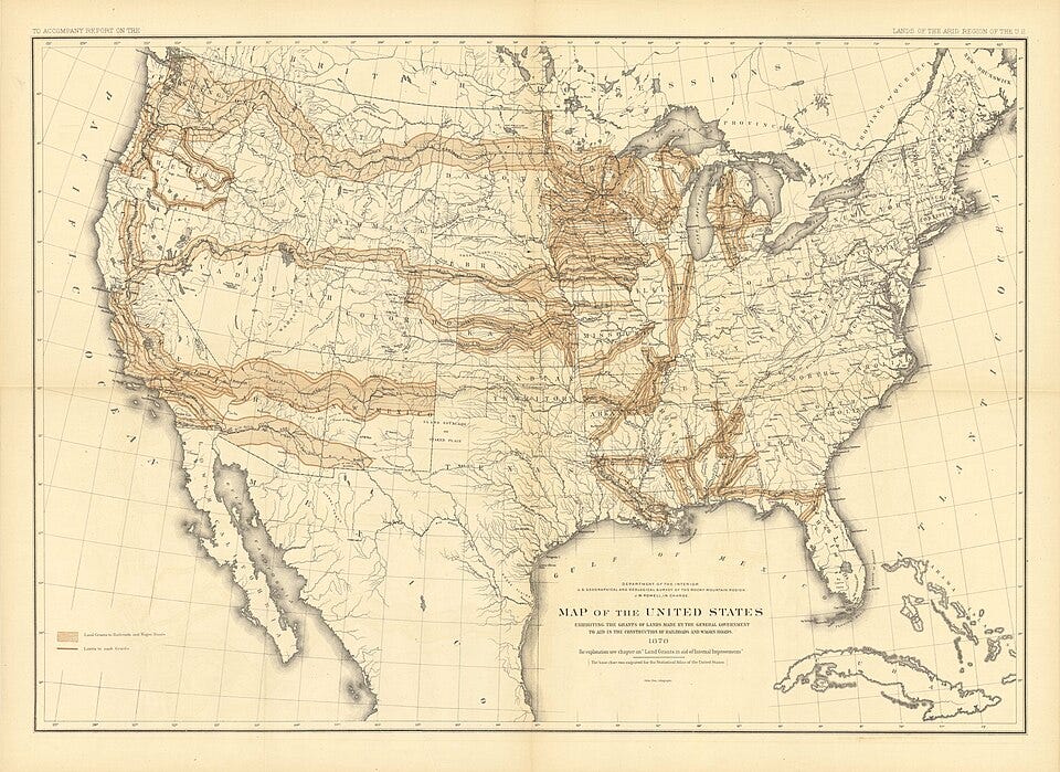
Before America was connected, it was measured.
Fly over the American Midwest and you will notice something strange. Instead of winding roads and irregular villages that evolved over centuries, the landscape below is carved into an almost perfect checkerboard. Mile after mile, square after square, the pattern repeats until it disappears beyond the horizon.
Most of us assume those lines simply emerged as settlers moved west.
They didn’t.
Long before railroads crossed the plains, before highways linked the coasts, and even before millions of people arrived, a small group of politicians, surveyors, and engineers decided that an entire continent would conform to mathematics.
In many ways, America wasn’t just settled.
It was designed.
Before anyone could divide land, sell property, or build towns, someone first had to answer a deceptively simple question:
How do you measure an entire continent accurately?
The answer arrived in the form of a surprisingly ordinary tool: a 66 foot iron chain designed by English mathematician Edmund Gunter.
Known as Gunter’s Chain, it contained exactly 100 links. Eighty chains equaled one mile. Ten square chains equaled one acre.
Those numbers became more than measurements. They became the language of American land ownership.
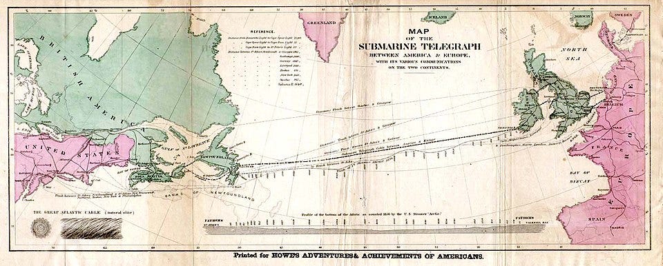
Surveying crews dragged these chains across forests, rivers, swamps, and open prairie. Every property boundary, county line, and future town depended on their accuracy.
When magnetic ore distorted ordinary compasses, surveyors switched to William Burt’s Solar Compass, using the position of the sun rather than magnetic north to maintain precision.
They weren’t simply measuring land: they were creating a standardized framework that future generations could trust.
➔ To examine the physical instruments and solar compasses used on the frontier, see The Forgotten Surveying Tools That Measured a Continent.
In 1785, Congress adopted what would become one of the most influential engineering decisions in American history: the Public Land Survey System.
Instead of allowing settlements to grow around rivers, valleys, and natural boundaries, as had happened across much of Europe, the new nation imposed a mathematical grid across the landscape.
Everything began from fixed reference points called Principal Meridians and Baselines.
From there came six mile townships. Each township became thirty-six one square mile sections, and each section contained 640 acres.
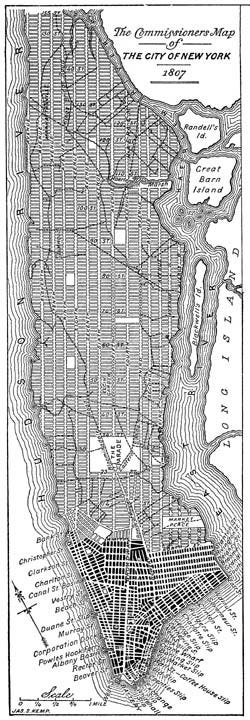
Although rivers, mountains, and other natural features often forced practical adjustments, the guiding principle remained the same: the mathematical grid came first.
A farm in Ohio could be described using exactly the same system as land thousands of miles away in Kansas. That consistency transformed wilderness into something that could be bought, sold, taxed, and governed long before most of it had permanent settlers.

Once the land itself had been standardized, another challenge emerged: how do you navigate across it?
By the 1920s, transcontinental aviation faced a serious problem. Pilots flew without GPS, without radar, and often without reliable radio navigation.
The solution was astonishingly physical.
Across the country, enormous yellow concrete arrows were poured directly into the landscape. Placed roughly every ten miles, each arrow pointed toward the next and carried a fifty foot light beacon.

At night, pilots simply followed one illuminated arrow after another across thousands of miles.
Long before navigation became digital, America built a nationwide routing system out of reinforced concrete.
The continent had gained another invisible layer of infrastructure.
➔ Read the complete investigation into these physical flight corridors in The Giant Concrete Arrows That Guided America Before GPS.
Most of those concrete arrows have disappeared beneath weeds and abandoned fields. The survey chains now sit behind museum glass.
Yet their work continues every day.
County roads still follow section lines established more than two centuries ago. Property deeds still reference the original survey system. Modern addresses make sense because of those original measurements.
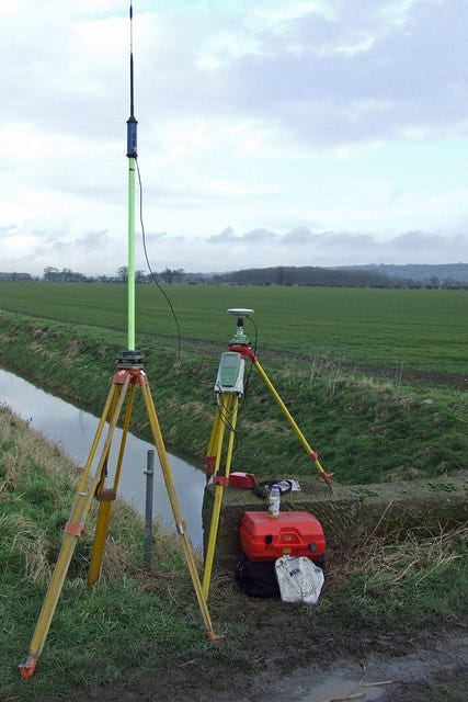
Even when Google Maps calculates the fastest route across the country, it is navigating a transportation network that was built upon an eighteenth century spatial framework.
Technology has changed. The foundation has not.
Imagine deleting every modern road, railway, airport, and power line from a map. Much of the invisible framework beneath them would still exist. Survey markers, township boundaries, and property descriptions would continue defining ownership exactly as they did generations ago. The technology changes: the coordinate system survives.
History often celebrates dramatic moments: wars, presidents, inventions, and revolutions. But some of the most important decisions happen quietly.
Few Americans remember the surveyors dragging iron chains across empty prairie. Even fewer have heard of the concrete arrows that once guided pilots through the night.
Yet those forgotten systems still shape the roads we drive, the farms we pass, the cities we inhabit, and the maps we trust.
The surveyors who dragged iron chains across forests never imagined GPS satellites, autonomous vehicles, or smartphones.
They didn’t need to.
They had already solved the harder problem.
Before America could be connected, it first had to be measured.
More than two centuries later, every journey across the country still begins inside the geometry they left behind.
Every layer of this system has its own forgotten history. If you’d like to go deeper, these investigations examine the original engineering records, historical documents, and physical infrastructure behind America’s invisible blueprint:
If you enjoy deep investigations into the hidden patterns running history, consider upgrading to a premium Archive Member. Your support directly funds the weeks of primary source research required to unearth these records without corporate ad networks.
✓ Ad-Free Reading: Complete immersion across our entire research index.
✓ Downloadable PDF Archives: Clean, print-ready files formatted for your personal offline library.
✓ Topic Voting Power: Help choose which historical mystery we explore next.
No posts
Comments
Nothing yet. Say the first thing.
Sign in to join the conversation.