
You could make the argument that the top of Green Mountain is like an altar to the LA Freeway. From its sweeping perspective to the west and north, the immediate foothills no longer obscure the further horizon and the summits of the Continental Divide proudly score the skyline. The summit plaque reflects many of these distant peaks where, living in Boulder, we watch the drama of the seasons unfold. Here, it’s easy to imagine Carl Pfiffner’s initial draw to the line—a complicated and technical alpine enchainment with a continuous aesthetic. Of course, to the untrained eye most of the difficulty looks smoothed out from a distance. Boulder’s favorite backyard hill might just be the perfect place to dream up a run along the high alpine route, from Longs Peak to South Arapaho.
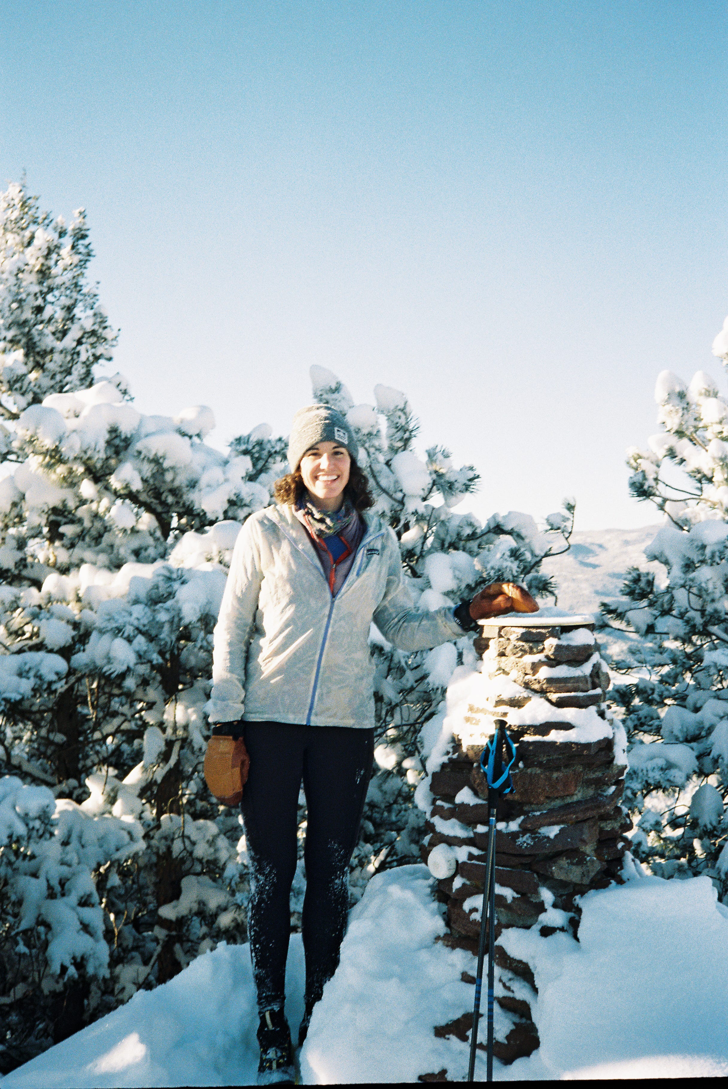
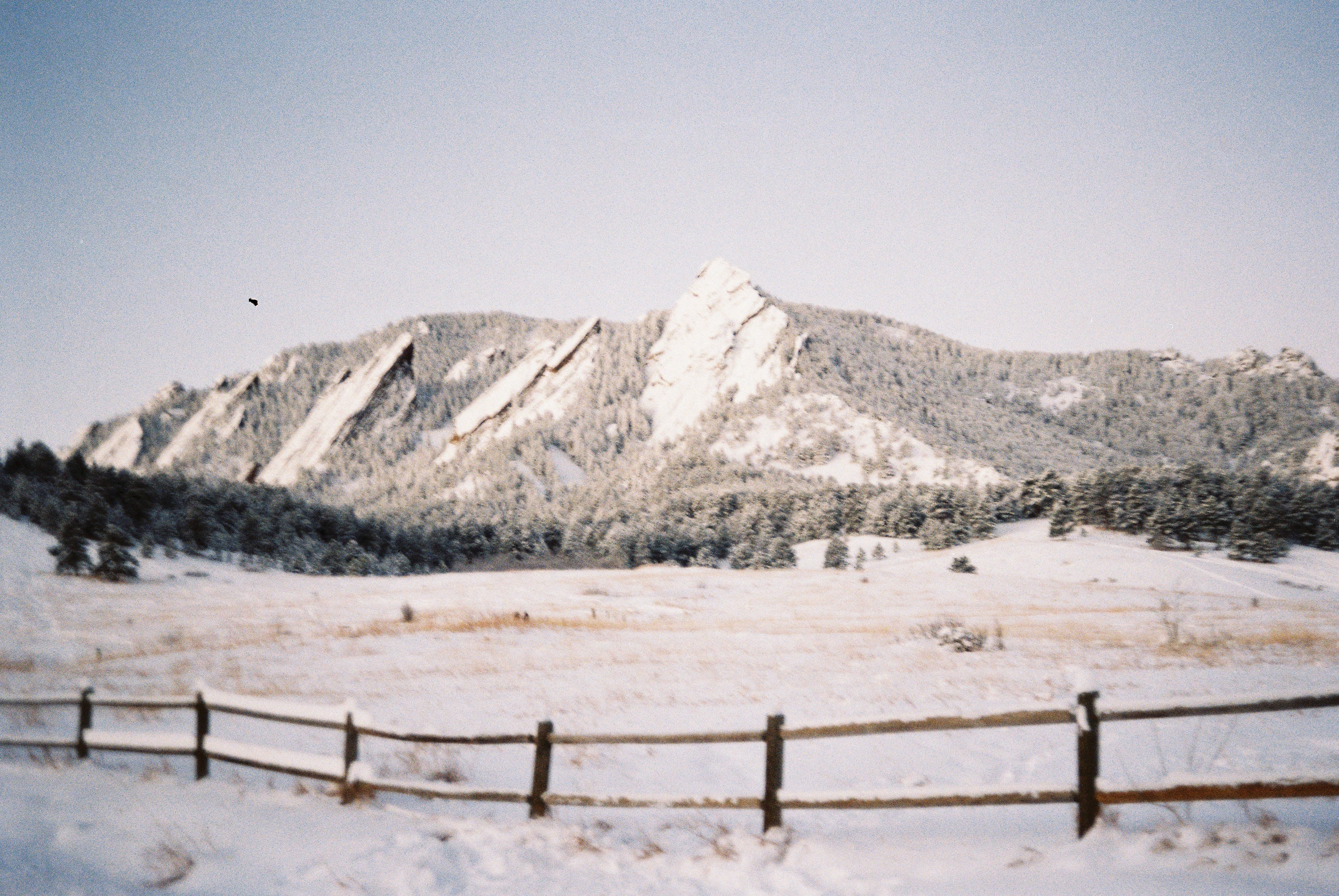
I remember there was still snow on Green the first time Kate broached the idea of going for the Freeway, as we were descending during one of our near-weekly outings. At that time, I had been entertaining various bike objectives for the summer but the possibility that such a route might be attainable—for me—was equal parts exhilarating and intimidating.
Text within this block will maintain its original spacing when published
“Should I perhaps try to explain for you with some hackneyed phrase how and why experiencing beauty can make life meaningful?” (Yes to Life: In Spite of Everything; Victor Frankl)
I’ve never been good at dancing, in fact I am almost incapable of keeping time whilst coordinating the movement of my arms and legs in an interesting way, so it was this element—the inherent grace and elegance—that first attracted me to climbing. I got into climbing in college, by way of bouldering, and I spent nearly six years where it was my primary focus; adopting training plans for the first time, conflating the outcome of certain projects with self worth and, after graduating, traveling around the country, using bouldering destinations as a compass. The shoes don’t look that different from ballet slippers either and climbing, too, is a dance of strength. When done well, it’s as smooth as a waltz.
There was a tendency, among the group of climbers that took me into their fold, to move as controlled as possible: holding a static pose while gliding through a lock-off, never cutting your feet because keeping the tension showed more mastery and, in general, adhering to the belief that hyper-intentional movement was the ultimate display of style. Of course, later I’d find that being able to move dynamically by choice was more energy efficient and a valuable skill in its own right. But the most important lesson gleaned here was: style matters. Climbing was the first way I learned how to express myself through movement.
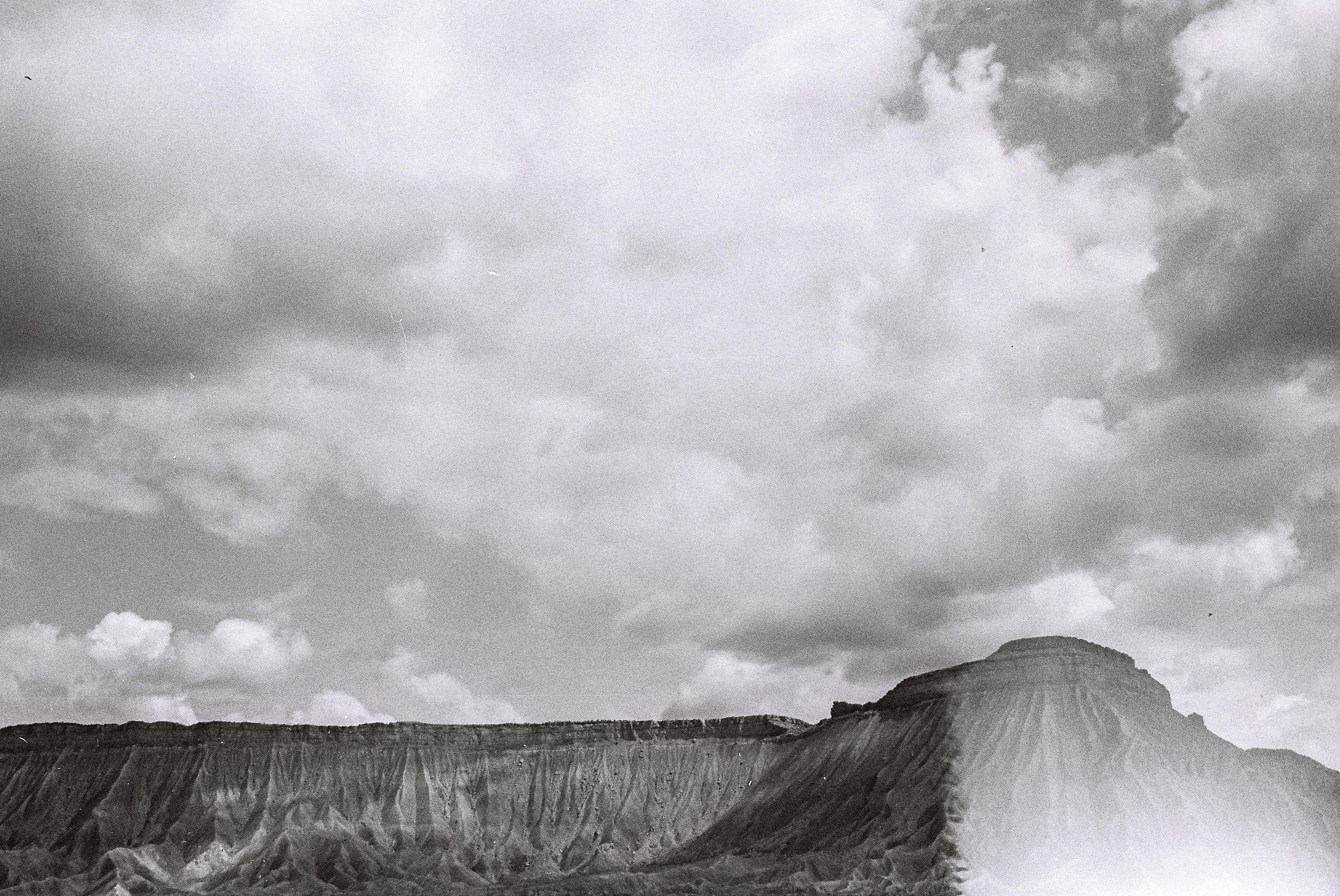
Looking back, it feels fitting that bouldering was the discipline that coincided with my time in college. This is not meant to be diminutive of bouldering but, for the metaphorical purpose of this argument, both can be viewed as somewhat of a gateway to bigger experiences. Bouldering cracked open the door to the outside world for me, but on a small scale (literally: the rocks you climb are on the shorter end of all climbing domains, and the approaches are, generally, limited). Similarly, everyone knows that college is only a liminal kind of freedom; you’re technically on your own but there’s an entire ecosystem built to help lessen the shock of entering actual adulthood. If you fall, in either arena, you likely won’t fall very far.
There are no guidebooks for the bouldering areas where I learned to climb; to start going out, you had to be taken by someone already enmeshed in the local scene. Whether or not this should be the case is a conversation for another time but, in my experience, this rite of passage and mentorship fostered a tight knit and trusting community that held reverence for these special places that I never felt was exclusionary.
As one of the most majestic geologic features of the southeast, the Linville Gorge felt, by far, like the most mysterious and mythical nearby destination to go bouldering. The only available “topo” was an artfully hand-drawn rendering of the area by longtime local and prolific first ascensionist, Joey Henson. When my peers talked about going to “The Gorge,” their words rang with a kind of starry-eyed occultism. I actually only went a couple of times in college. Getting there required the longest drive and the most time-intensive approach; the hike down from either side includes a ~ 2,000’ descent and, once on the water, the boulders sprawl in either direction, like sunbathing gods on both banks of the Linville River.
My initiation to The Gorge was over a weekend trip when another infamous local, Mike Stam, guided one of my roommates*, another friend, and myself down into the hallowed depths. I don’t remember much about the hike down other than it being quite steep and framed in close by dank-smelling rhododendrons, the hearty bushes that grow dense and strong in that area. The plan was for us to do some climbing that evening, camp out overnight and climb more the next day. The trip is a grainy blur of moments in my memory—feeling the slick, river-run rock, drinking from a fresh spring for the first time, warming potatoes and roasting whole heads of garlic over the coals of our fire, sleepily watching Mike (who hadn’t brought a sleeping bag) tuck in between the cordura lining of his crash pad and the foam interior, shaking with dehydration on the rock the next day and feeling overwhelmed by the scale of the place. Standing on the banks of the river at high noon, I couldn’t have told you which way was north or south, or which way was town. I had zero sense of orientation other than which side of the canyon we’d dropped into. In contrast, Mike seemed entirely at home. This familiarity and comfort with the land was something that would stay with me. It occurred to me that, in these parts, he might never be lost.
(*At the time, I lived in a house with five other climbers, in a lean-to that had been built onto the garage. My rent was less than $200/month and there was no insulation in the walls or beneath the floor.)
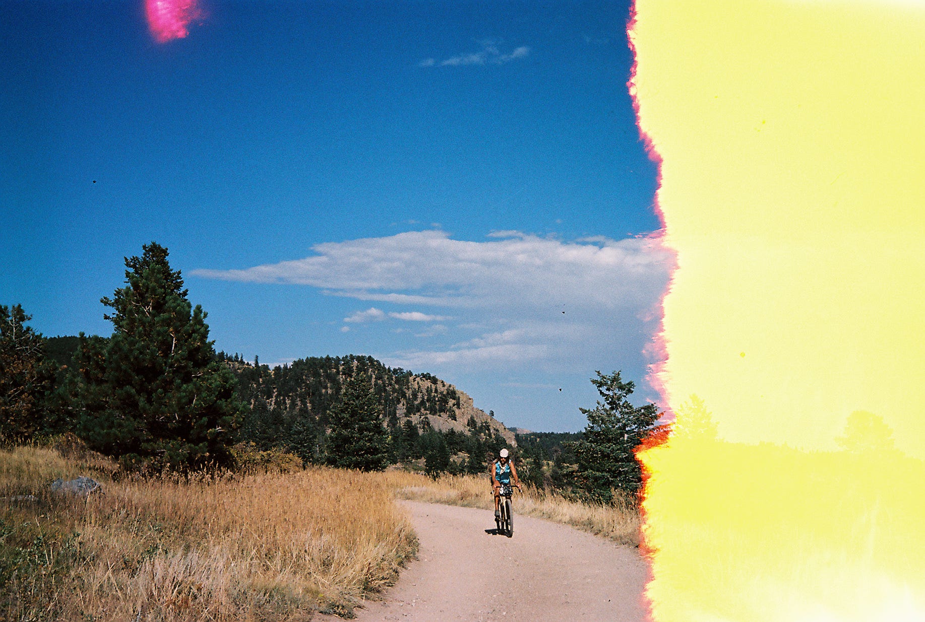
My first foray into the alpine of Colorado—or I guess, the alpine of anywhere—came in the summer of 2015, at the conclusion of an extended climbing road trip, where a stop to see recently-migrated friends in Boulder helped break up the long drive from the west coast back east. Weighed down by bulky crashpads and unacclimated lungs, I trudged below treeline in Rocky Mountain National Park amidst a group of good friends as we gingerly skirted lingering snow banks and, eventually, submitted to the forced slow progress of post-holing up to our knees. A two-mile hike deposited us above the trees, along the eastern shore of Lake Haiyaha and in the talus-strewn depression (most of which was still deeply buried in snow) between Otis and Hallet peaks. I’ve always loved the climber-designated moniker for this area: Chaos (further delineated into Lower, Middle, Upper and Upper-Upper Chaos). The evocative name seems to project the prevailing (dis)organizing force of entropy from the place onto the activity we were there to perform. Regardless of its increasing popularization and main-streamification, the extreme ends of climbing will always retain their counterculture edge, in my opinion. And, to me at that time, bouldering in the alpine felt extreme.
In point of fact, we didn’t end up doing much climbing that day, as our early June outing revealed that most of the boulders were still encased in a late spring snowpack. Still, I remember on a visceral level the impact the day had—the way the high altitude air resembled the clean cutting-ness of Fall back home, the astringent scent of pines, the strong pulse of the sun reflecting off snow, the way my lungs labored and muscles quivered on the rock in the oxygen-starved atmosphere. Paradoxically, everything that made this environment harsh also served to invigorate. I remember thinking that people who could climb here regularly and successfully must exist on a different plane, had achieved some level of superhuman fitness that I desperately wanted. If only to be able to comfortably revel and rage in the shadows of the surrounding mountains. Freedom embodied. Of course, the physiological barrier to entry for high alpine bouldering was part of the appeal—everyone wants to feel like they’re part of something small and special.
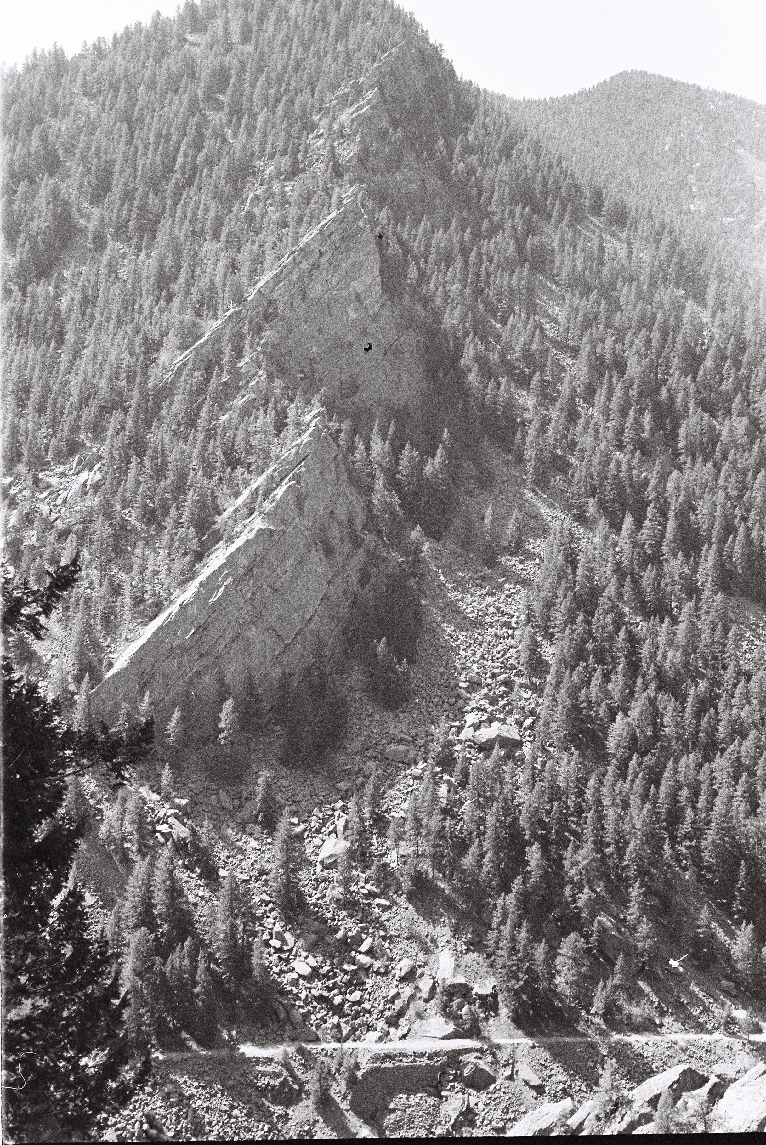
A year later I’d moved to Colorado and, two years after that, my best season bouldering in the alpine coincided with me largely moving away from that specific sub-discipline of climbing. As I ventured into more endurance-based pursuits—on foot and on the bike—and moderate trad climbing, I tried to understand why my infatuation with bouldering was waning. Perhaps this is overly simplistic faux-philosophizing, but, I think one could argue (and, I am) that bouldering is often about chasing Movement—as the most condensed, high-intensity form of climbing, with problems ranging from a few to a couple dozen moves—bouldering is about successfully, perfectly, precisely stringing together individual, highly-varied, low-percentage, anatomical contortions. It’s a powerful anaerobic, aesthetic exercise that’s over in a couple minutes, if not less, and leaves one standing on top of a (relatively) small rock that you then have to figure out how to get down from. This latter characteristic makes it especially hard for outsiders to understand (“Look,” they’ll say, “I’ve found an easier way up the back!”). For me, the scale of the activity is what best bolsters that argument that it is, at its core, an exploration of movement; because the satisfaction comes in unlocking the moves, the “summit” is often not inherently transcendent. Of course, there are many other factors, but suffice it to say, I wanted to widen my range of exploration. I wanted to look up. And yet, the first time I went trad climbing, I was kind of nonplussed. It was in Eldorado Canyon and I found that the rock ranged from off-puttingly polished to unreliably loose and brittle, with few truly bullet stretches in the mix. It wasn’t until a few outings later, during a longer moderate link-up and topping out the final exposed ridge on the Yellow Spur, that I felt like I started to get the appeal: the flowstate afforded from covering so much ground on terrain just technical enough* to require full presence, culminating in the final exposed spine of a prominent tower in the canyon—a position that’s hard to beat—felt in some ways like my best day running on the not-too-distant trails in these same foothills.
(*Of course I’m just talking about moderate-to-me terrain here; there are plenty of trad climbs in existence that, for me, would be too hard to even pull on much less find any endurance-esque flow.)
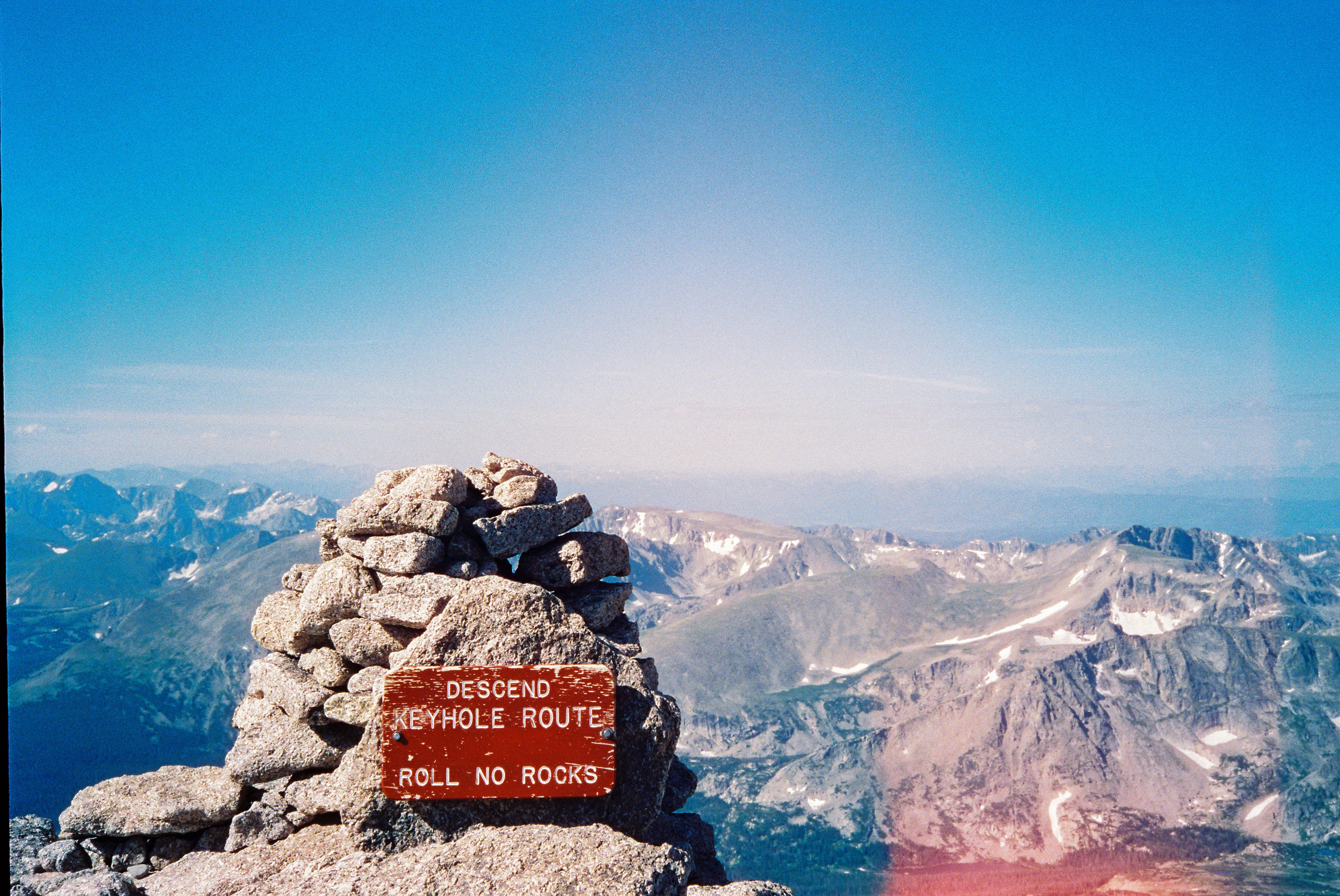
The summer of 2020 had seen my first summit of Longs Peak. I’d made precisely three trips up the mountain before ending that season with a duathlon tag from Boulder and I knew I’d have my work cut out for me to complete the Freeway. (Shortly after the duathlon, I reached out to Kate on Instagram, to see if she’d want to get out for some scrambling in the Flatirons sometime. Kate is impressive on Instagram and even more impressive in real life and I remember prattling on nervously our entire first friend date up the Second. ) Longs, the monarch of the Front Range, afterall, would just be the warm-up and I would barely spend any time on foot in the mountains in 2021 due to an achilles injury. Committing to this objective would require me to significantly up my game in off-trail travel and become more comfortable scrambling moderately technical terrain, not to mention while also having the legs and lungs to hang out above 10,000’ long enough to hit all 23 peaks and cover the accompanying requisite vert.
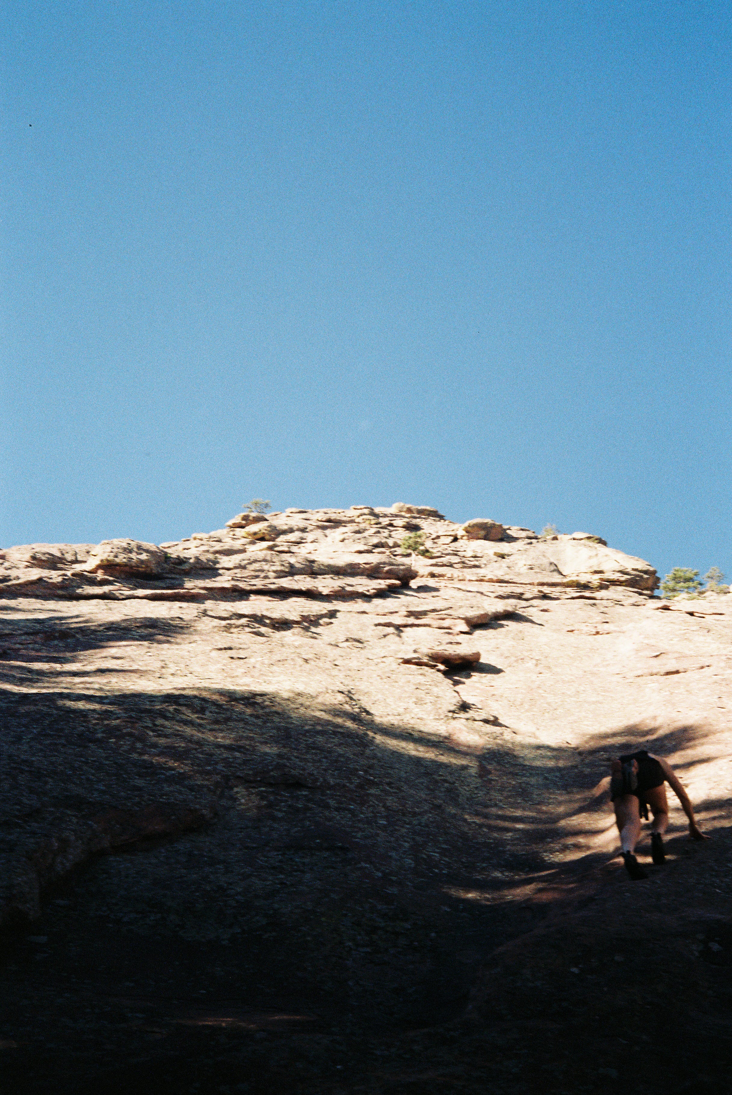
For whatever reason—genetics, lack of lifetime mileage, bad mechanics, etc.—my body historically hasn’t tolerated a lot of actual running, but throughout the Spring my routine Green outings with Kate and other consistent (though relatively low mileage) volume, had bolstered my hopes that a summer of “running” in the alpine might just be possible after all. Finally, I also knew that my cherished running partnership with Kate would be coming to a close, at least at the day-to-day/week-to-week level, as she and her then-fiance, Nick, would be moving to Burlington, VT at summer’s end. Teaming up for the Freeway felt like a special and fleeting opportunity: our fitness, mindsets, and comfort on low 5th class terrain seemed well matched and I think we each brought our own complementary skill sets to the table. Completing the Freeway together would not only be the most appropriate Colorado farewell but would also essentially mandate that we get out for multiple all-day outings to recon the cruxes in the weeks preceding our eventual effort. Basically, she’d be forced to hang out with me.
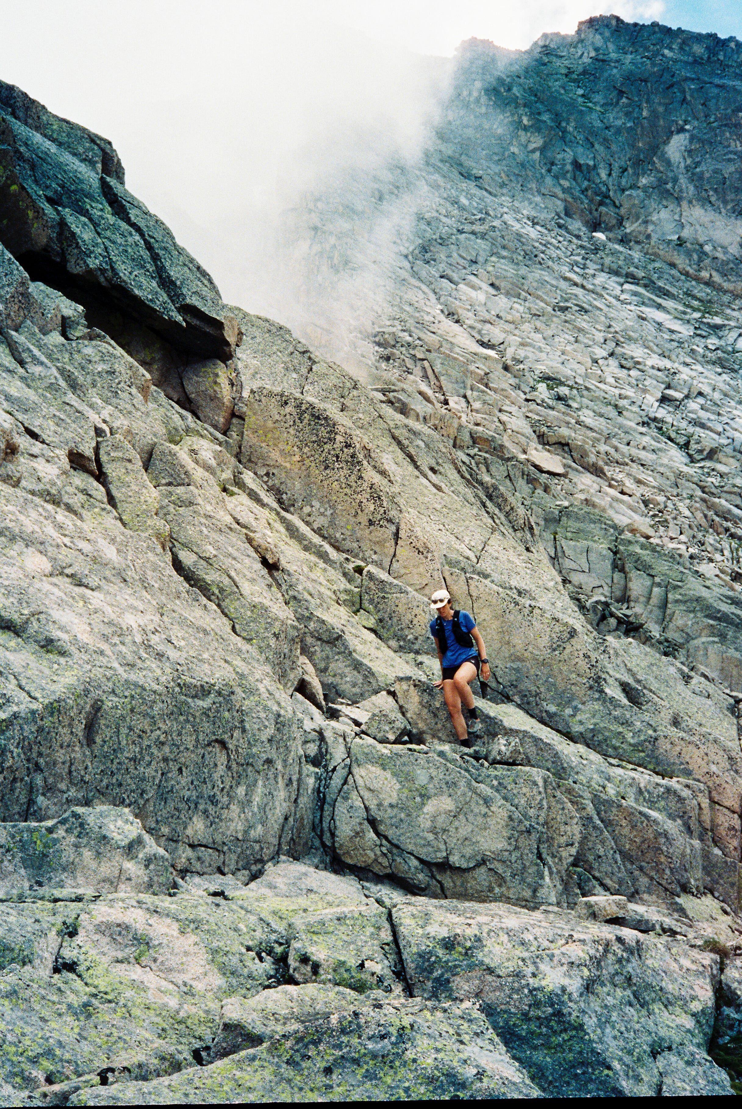
June 16, 2022 - Arapaho Traverse (South-North Arapaho) - Elapsed: 3:37; 7.5mi/ 4,350’
Alpine “warm-up” outing. Fortunately, I skied a bit more this year and therefore hadn’t gone months and months since breaching 12k’ so my usual rude alpine awakening was tempered. It is interesting how it feels, to me, like there is a new threshold for every 1,000’ above, say, 10k’ and I did notice feeling more sluggish above 13k’. Still, this traverse is a super accessible classic and with views basically in all directions and 3rd/4th class terrain feels like you’re exercising some real mountain movement.
July 2, 2022 - Buchanan to Pawnee Pass - Elapsed: 9:27; 20mi/ 6,700’
The high route: Sawtooth-Algonquin-Paiute-Toll-Pawnee. There was a lot of calendar comparison in planning these longer recon missions—work + school obligations made long weekday outings tough for both of us and, with a fairly jam-packed schedule, Kate’s free weekends were rare. I think this actually helped us to firmly commit to the days we did have because, if we flaked out, a make-up mission would be hard to come by. We had identified four significant cruxes on the route from prior trip reports—the West Ridge bypass on Pagoda, the Cleaver to Isolation Peak, navigating Paiute, and the Kasparov Traverse leading to Apache. Today we would suss Paiute Peak.
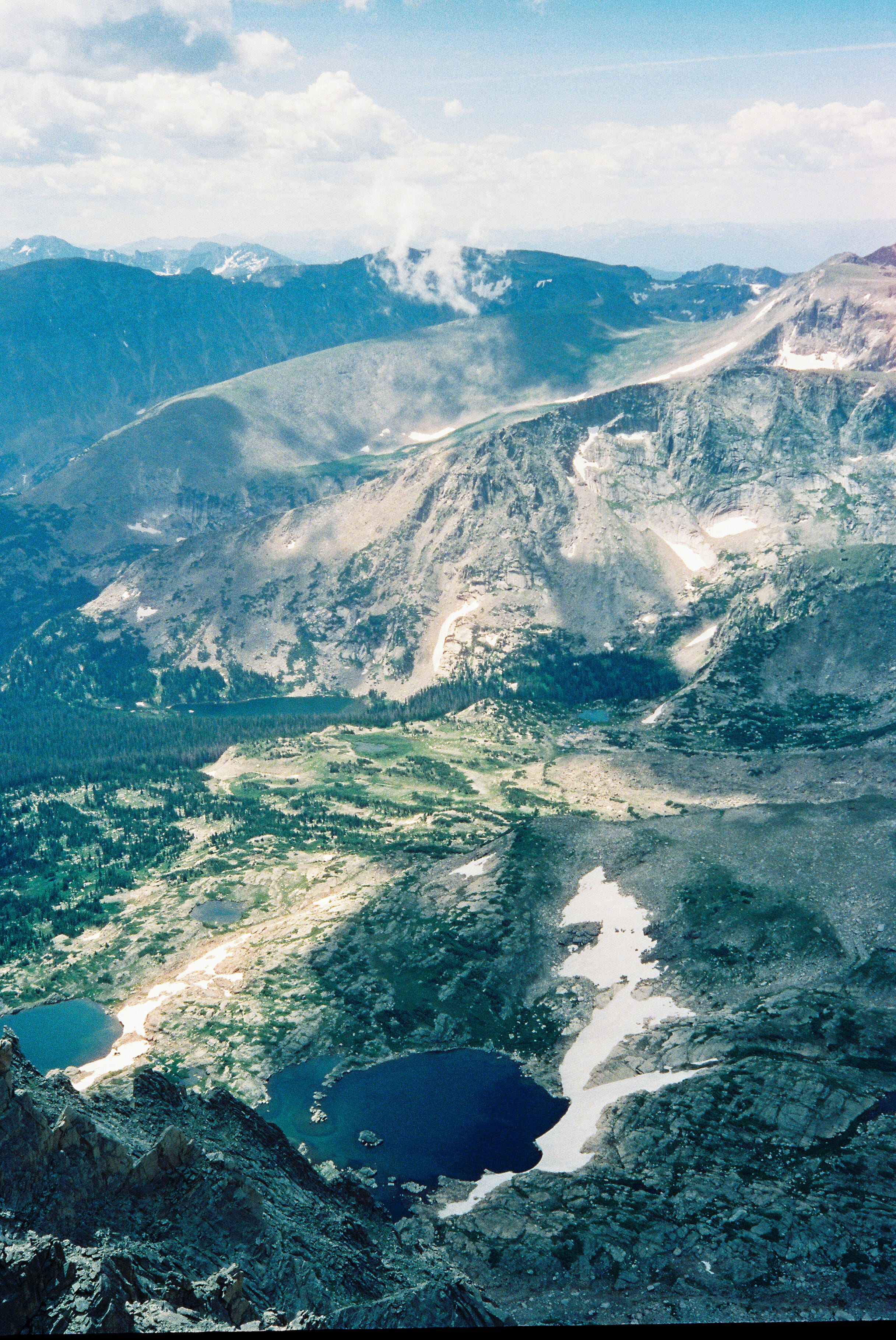
July 16, 2022 - Isolation Peak - Elapsed: 8:00; 20mi/ 6,400’
This weekend, where we spent back-to-back long days up high felt like the most important isolated event in our collective prep leading up to the LAF. I remember feeling pretty worked at the end of this day and, as we ferried one of our cars up to the 4th of July TH to have a shuttle in place for Sunday, wondering how we would manage a second day of equal, or higher, effort. This was my first exposure to Wild Basin and, while low clouds veiled the west side of the Divide thereby greatly hindering our visibility, the location mixed with the atmosphere of the day made for a pretty magnificent introduction.
July 17, 2022 - Pawnee Pass to South Arapaho - Elapsed: 10:40; 15mi/ 7,000’
The most challenging recon day scoping out Shoshoni, Apache, Navajo, Arikaree, (12887), Deshawa, North and South Arapaho! Throughout the day, as we traversed the endless-feeling narrow ledges littered with loose rock—like trying to run through the aisles of an antique store—I actively battled thinking about this section in the context of the complete link-up. This last stretch really cements the difficulties of this route.
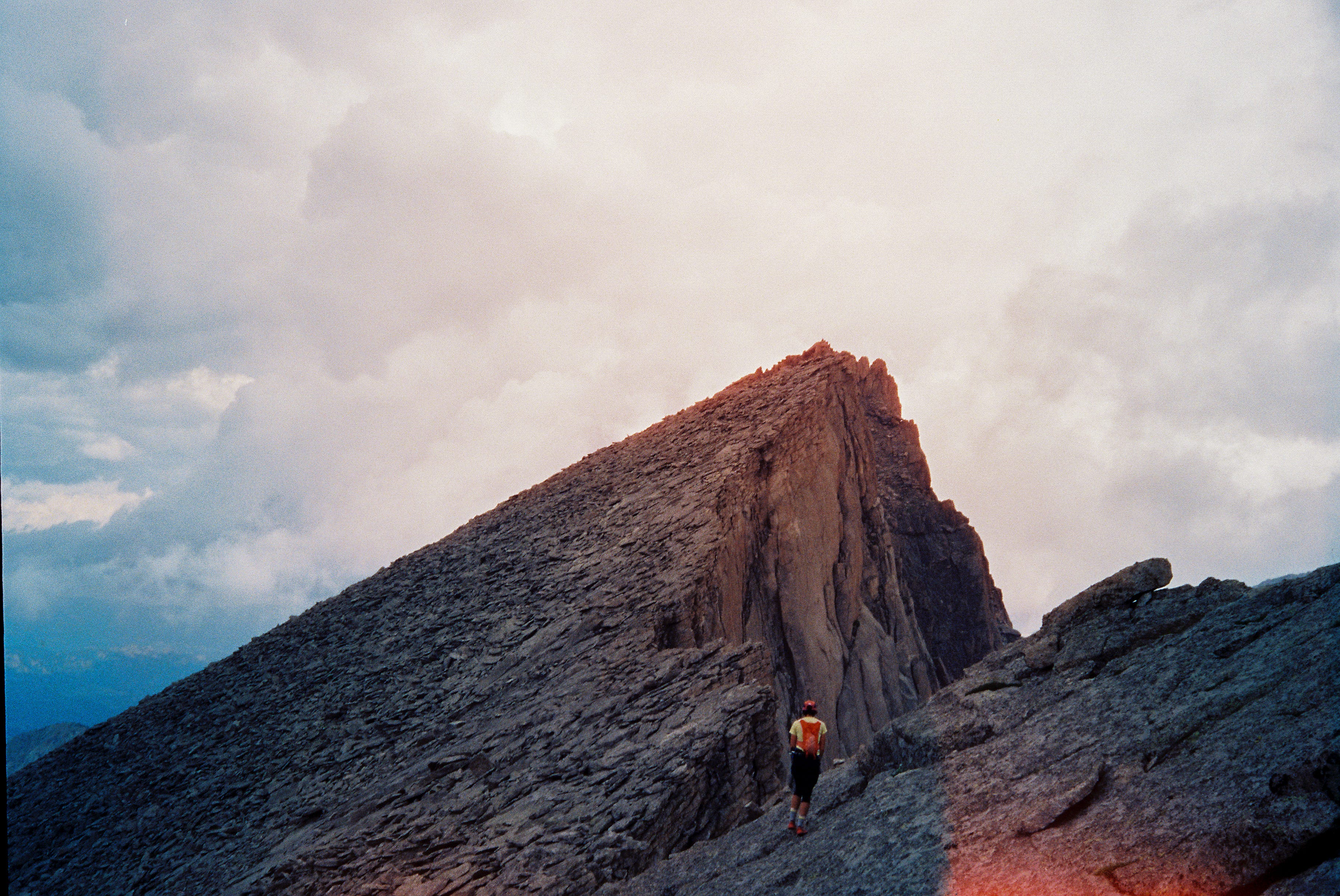
July 26, 2022 - Glacier Gorge Loop - Elapsed: 11:25; 15.5mi/ 9,800’
Text within this block will maintain its original spacing when published
Our final scouting outing where the focus was finding and rehearsing the West Ridge bypass from Pagoda to Chiefshead. With the aid of following someone else’s GPX track through, I didn’t find the route finding to be especially difficult but it is high consequence terrain. Once we topped out Chiefshead, and had a celebratory salt-filled lunch of burritos, olives, and a shared Coke, we deviated from the LAF to close the loop, veering back towards the Glacier Gorge trailhead and tacking on a McHenry’s and Arrowhead summit.
Text within this block will maintain its original spacing when published
“I made some discoveries that night. I discovered that in addition to the well-known ‘second wind,’ there are third, fourth, and fifth winds—each a little punier and shorter-lived than the one preceding. Then—still hours before dawn—I discovered that the last of all comes a windless wind that lasts till you drop. You experience this last wind more in your gut than in your body, heart or lungs. You know it has arrived when you feel certain essential parts of your anatomy start to chew and ingest the less essential parts. You walk along, digesting yourself, no longer able even to pretend to understand or to enjoy or to desire or to seek anything whatsoever. You forget everything that ever happened to you. You come to believe that nothing but this interminable dark wet walking ever will happen to you. You cease to think, cease to feel, cease to exert, cease to do anything conscious at all. You just wash down the road on your two dumb feet like a dead leaf washing down a river.” (pg. 249; The River Why)
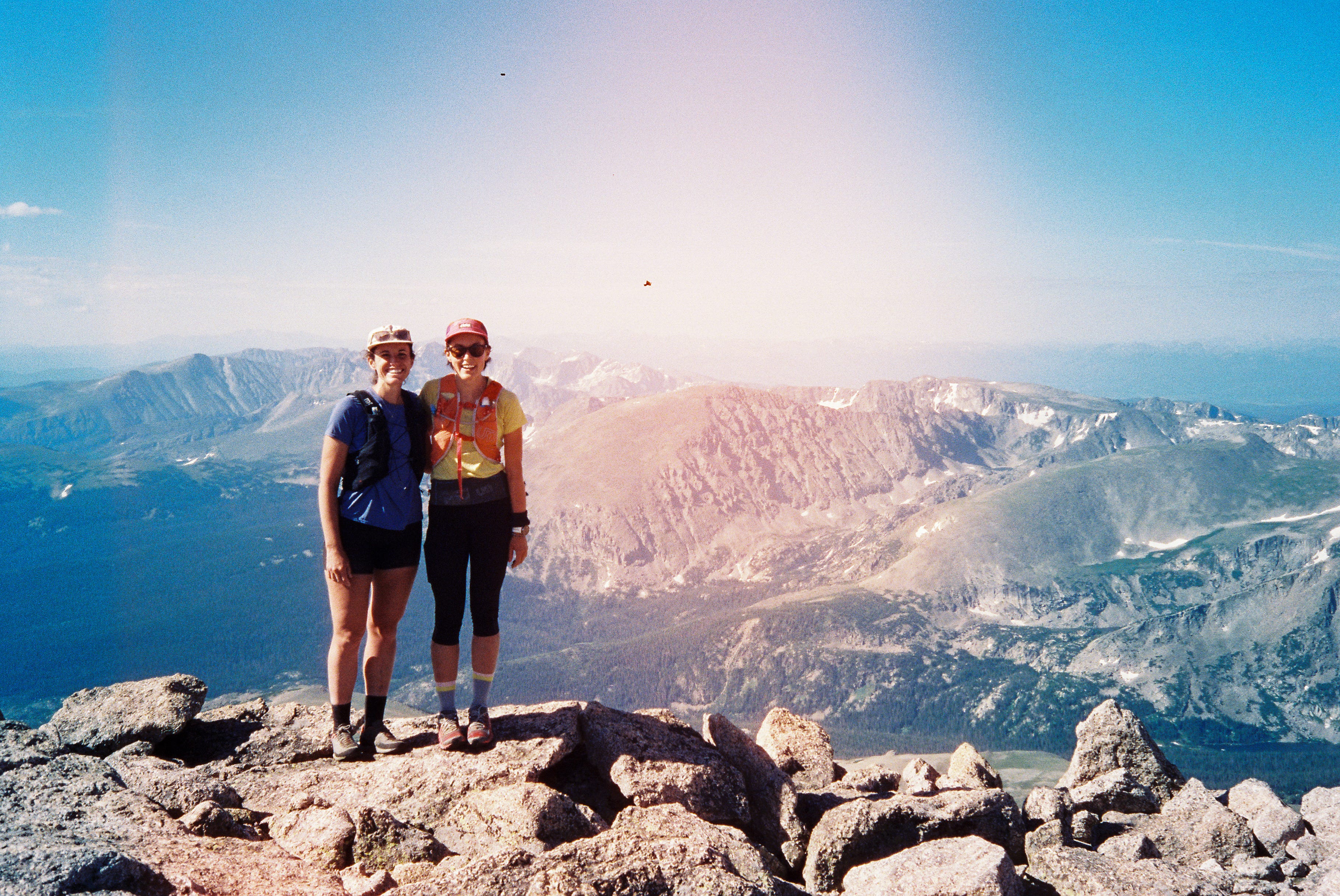
August 3, 2022 - Longs Peak to 4th of July TH - Elapsed: 38:08; 40mi/ 19,100’
The longest, fullest day of my life. From Strava:
We'd originally hoped to start on Friday (8/5) as Kate had pacing duty the previous Saturday for a friend running the Crazy Mountain 100 in MT but with the forecast calling for clear skies Wed-Thur and then storms through the weekend, we decided to rally a couple days early.
We left the TH ~3:40pm, just as an afternoon shower finished blowing through. We'd originally hoped to complete the route in 24-30hrs and therefore knew up front that we would have to strategically plan when and where to pass 8-9hrs of darkness. The (mostly) tundra section after Chiefs Head through Algonquin seemed like the most logical and least stressful stretch to tackle without daylight. We budgeted 3hrs to get up Longs at an easy pace, and an additional hour for each Pagoda and CH, meaning we would have about 5hr15min to start descending CH before nightfall.
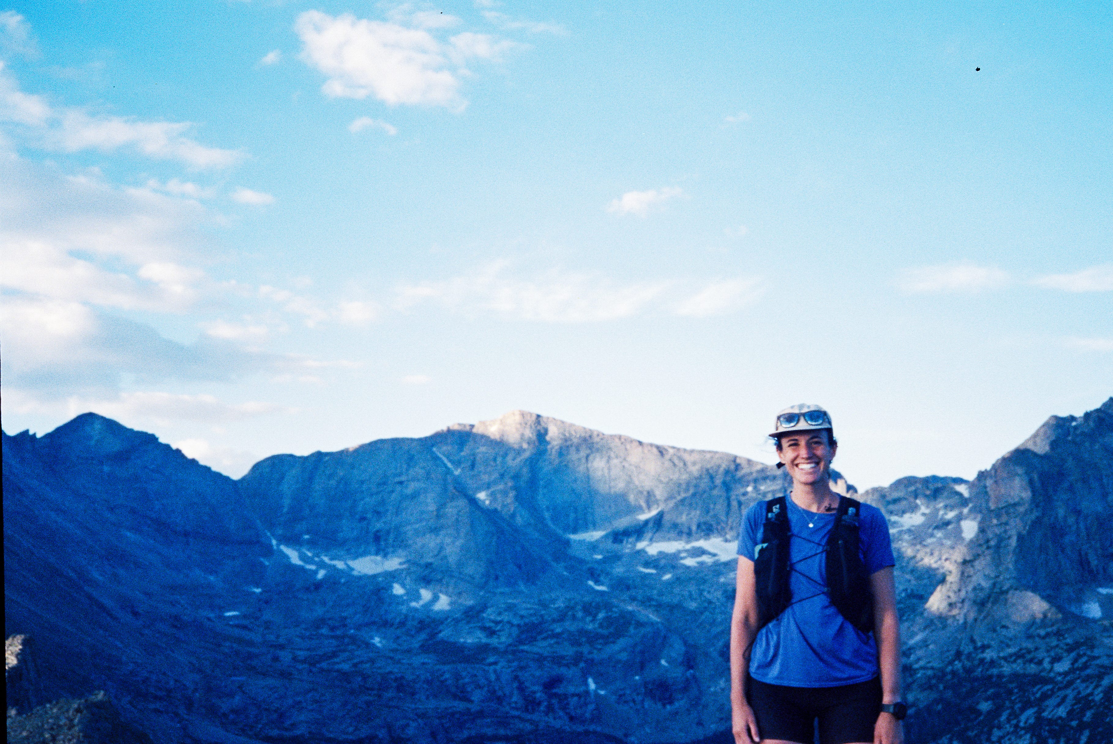
After our farewells with Tony and Nick, we started up the trail in what felt like a very businesslike manner—no talking, just the sound of poles clicking on rocks and soft footsteps. Admittedly, I was relieved when we hit Goblins and we started to casually chat—I already had a headache, which I attributed to pent up nerves, and the easy conversation helped me relax, while acting as an intensity barometer. Being able to talk without labored breathing also meant we were going the right pace for this kind of effort. Cloud cover kept us cool all the way up to the summit and, looking back east, mist hung in the bowl carved by the East Face.
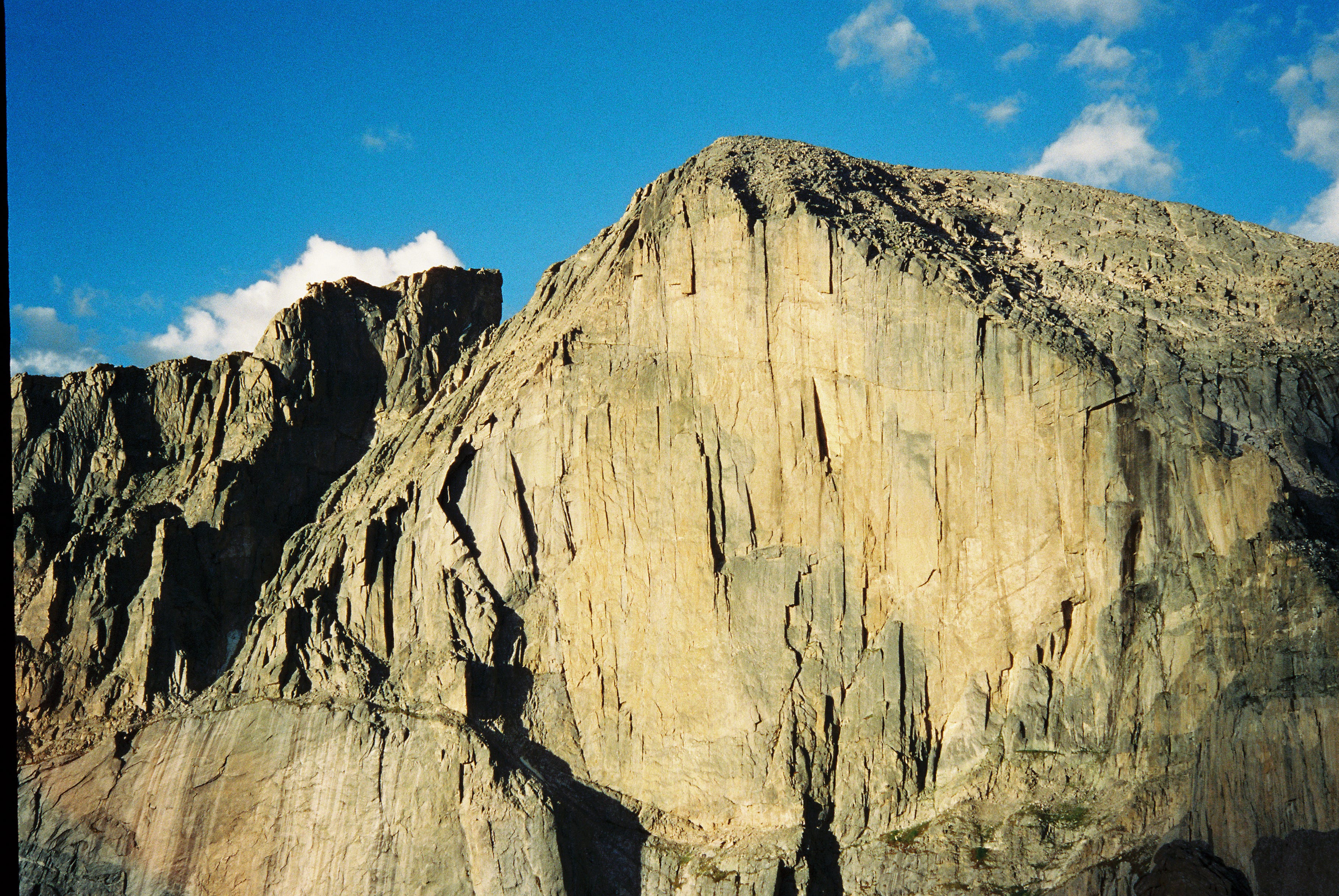
We rolled through the summit at 2hr38min, well ahead of schedule. I wasn’t feeling great, my head was still throbbing and my lungs didn’t feel appropriately fresh for having rested the past week, but I tried not to think about it too much. We scurried down The Homestretch and efficiently made our way to the summit of Pagoda (3hr33min). The West Ridge Bypass off of Pagoda to reach Chiefs Head was our main navigational priority to hit before dark and, even with the slick rock thanks to the recent rain, we made our way through this first crux with little trouble. Atop Chiefs Head, we made a quick transition to prep for the impending darkness, donning pants, readying headlamps, and transferring some snacks from our packs to more accessible spots. After a few minutes we kept rolling (~4hr55min?) towards Alice.
Over the course of our five dedicated scouting missions, we’d come to the happy realization that there would be plenty of water on route—the past few summers have been remarkably dry and smokey in Colorado and we indeed got lucky with the return of a real monsoon season this year. As such, our effort was unsupported—we carried all our food from the start and planned to resupply water along the way. The section from CH to Alice was one we hadn’t seen though and we were surprised to find a spring running steadily down CH’s southern slope and we quickly stopped to top off water here.
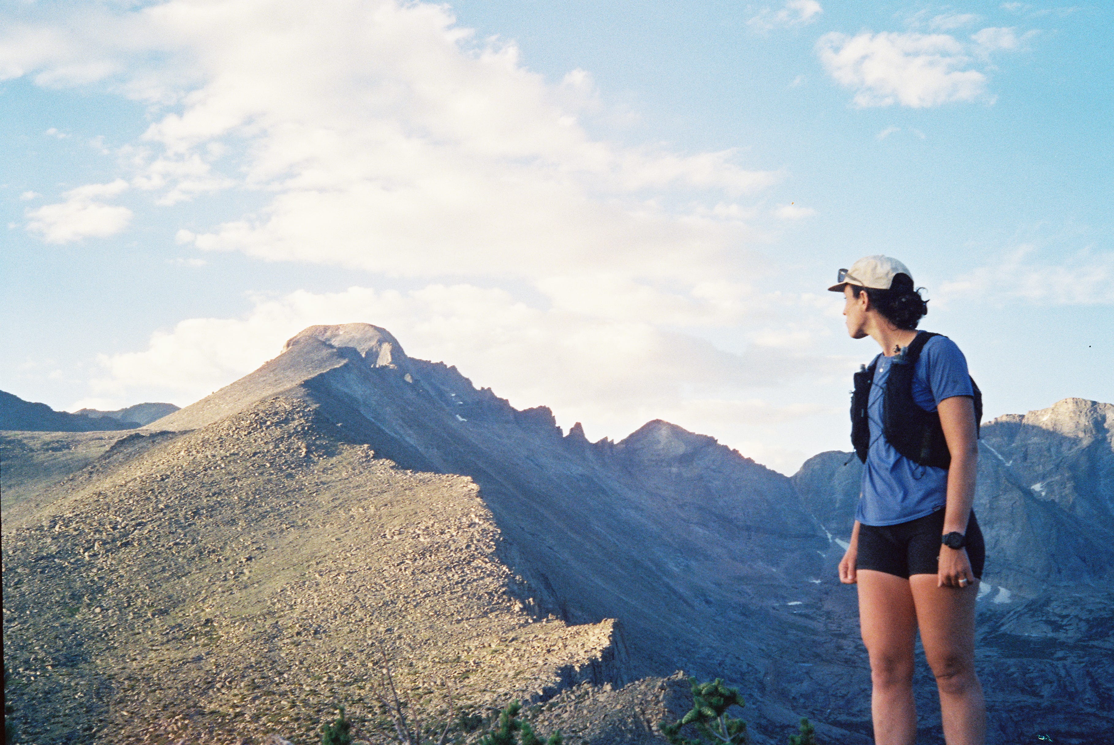
We clicked on our headlamps shortly after and made our way up Alice (6hr15min?). V steep. I feared we were either pushing a little hard here, or that my body just wasn’t planning on coming around, and I was relieved when we finished the steep push to the summit. I knew more moderate terrain would follow during the long tundra stretch. From Tanima’s rocky outcropping (7hr10min), we saw distant city lights bathing the night sky in a warm glow. I suddenly felt how lonely this could be as a solo endeavor and was glad to have Kate’s company. Although we share a similar comfort level on technical terrain, our experience with solo endurance pursuits has been quite different (mine being confined to the bike, while Kate is an actual runner), but I think this variety of experience and fitness also makes us ideal partners. We can share long stretches of silence just as easily as extended conversation, a crucial part of the dynamic during a long outing.
From the Cleaver, the ridge to gain Isolation peak feels long. We botched this section during our recon outing (a day where dense fog on the Divide almost mirrored the lack of visibility we now faced) and we botched it again now. Basically, our intended route dropped from the ridge shortly after the Cleaver to bypass the most technical terrain, with a third class gully bringing us back up the ridge. In both instances, we dropped too soon and too low. This felt like the first hurdle of our LAF effort and we lost at least 30min (not to mention adding vert and distance) reversing and correcting our error. Once in the right gully, we found the trickle from a few weeks prior was now a veritable river and we stopped to fully refill our water bladders and all flasks. The summit of Iso (10hr08min/ 1:48am) felt like the first chapter closed in completing the LAF—6 peaks down and many more still to go.
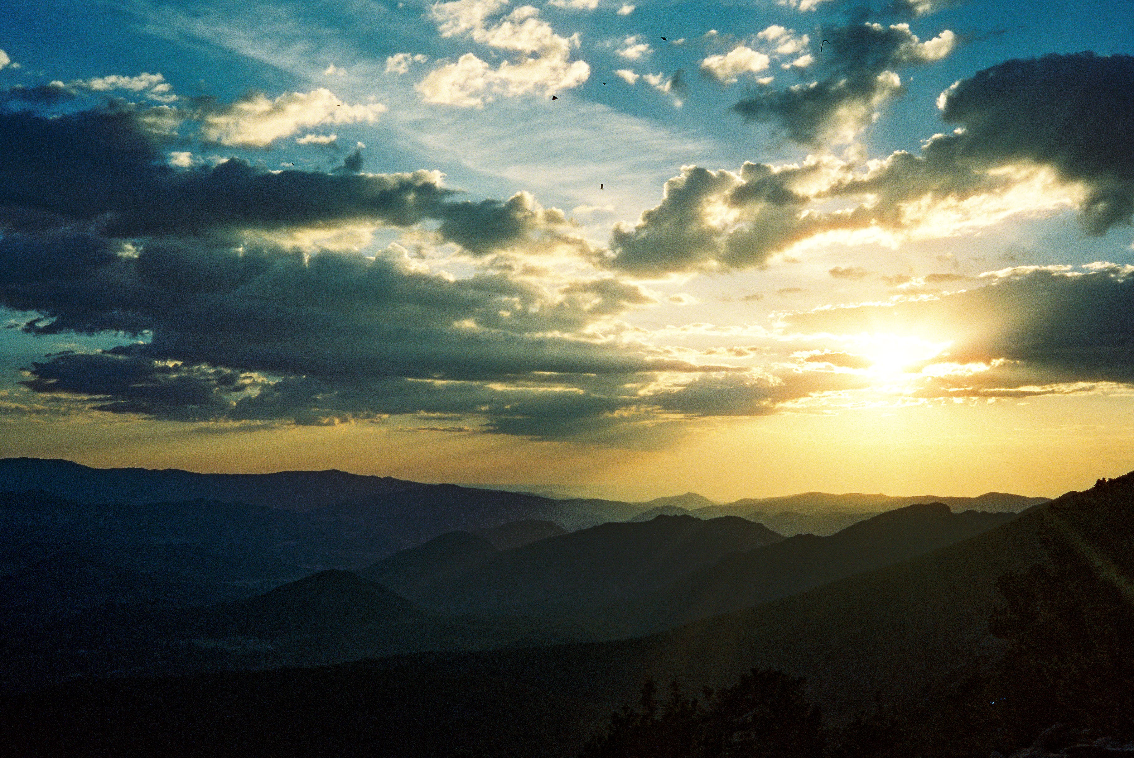
I’ve never been happier to spend hours walking across tundra as I was while tagging Ouzel, Ogalalla, Ooh La La, Pt. 1227, and Red Deer. It felt good to be able to turn the brain off for a while and just follow the bread crumb track on my watch (thanks Kyle!) as we covered the next 7mi. I could feel our pace was definitely flagging through this section though and somewhere along the way Kate shared that she thought the altitude was getting to her. As the sun rose on our way up Red Deer (actually v nice ridge between 1227 and RD) it became more and more apparent that she wasn’t feeling like herself. With a spiking HR and quick, shallow breaths she, understandably, needed to take a moment to reset. At this point—over 15hrs in—it seemed quite unlikely that we would make a 30hr window as we were slightly under halfway in terms of distance and our pace would need to be significantly adjusted so that hopefully Kate could bounce back. Still, I knew that it could just as easily be me suffering from altitude—these unlucky days feel like such an unpredictable roll of the dice and, as a team, it didn’t matter who was feeling bad, just that we were both able to get through it.
Three peaks and several hours later we found ourselves (finally!) atop Paiute after another costly navigational mishap. Again, divining our way through 3rd class ledges on the west side of Paiute before the final summit push had been a challenge during our recon and it felt like we just repeated the same mistakes today. We were both frustrated at the situation. On the summit, just before noon, was the first time I concretely thought out what the rest of the outing would look like. Kate was putting on a brave face but I could tell the altitude was continuing to take its toll. I was very worried at this point about how little calories I had left and, more so, about getting benighted before the final technical crux of North Arapaho and I raised my concerns as Pawnee Pass—just two peaks away—was in reality the last best place to pull the plug before being too committed. We were both exhausted but also were both fully aware that this would, in all likelihood, be the one chance we’d have to pull this thing off together. We talked it through, convinced ourselves that we could at least make it up the ridge before the summit of NA in daylight (laughable, in retrospect) and at the very least we’d have the track to follow. So we got up and kept going. This, I thought, is why I’d brought a second headlamp.
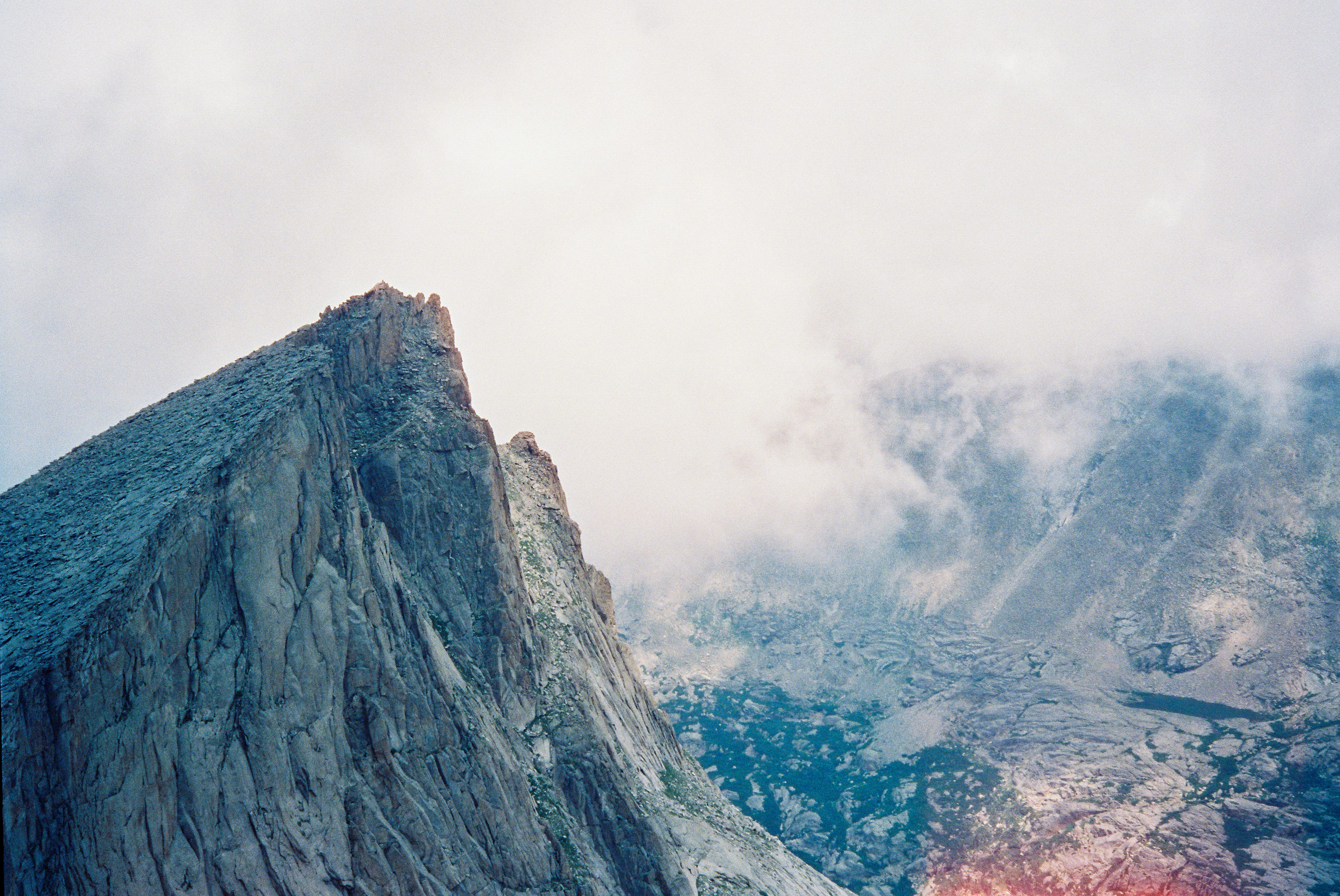
Toll and Pawnee were relatively quick (I was SO ready to grab water on the saddle between), and heading down Pawnee Pass felt again like a new chapter on the route. We had spent what felt like a long day scouting Pawnee Pass to the finish a few weeks prior and I tried to put the fact that we’d be just starting that big day at 2pm out of my mind. We hit Shoshoni, bumbled our way through the Kasparov traverse (another complicated section) and elatedly reached Apache. For hours now, my quads and knees had been protesting taking any descent at more than a hobble. In my head, I kept repeating to myself all the peaks we had behind us then naming the few we had left—just Navajo, Arikaree, (12,887; barely counts), Deshawa, and North Arapaho/ South Arapaho (counted these two as one) We were getting there.
The chimney scramble and quick summit of Navajo felt like a gift before the punishing blown-up talus/scree descent. Truly heinous and painfully slow through here down to the tarn. Quick water top-off (although, I made the mistake of chugging one flask and only filling one to go, and would later be out of water for hours) then the trudge up Arikaree. I could tell that my mental armor was waning as I kept thinking about how loose and unstable the “sidewalk in the sky” up this peak felt underfoot, when I’d barely given it any thought during our recon.
Darkness found us, for the second time, around the airplane gully on Deshawa, and then time just started evaporating. Navigating this section in the dark was unbelievably slow. We both somehow barely remembered Deshawa from our scouting trip and moved through the third class ledges at a snail's pace—with one of us going in front and the other following behind, calling out if we were too high or too low based on the track. I can’t describe how hard it felt to not give into despair on this section and was grateful that Kate largely took the lead on navigating.
One more peak: we moved at a moderately faster pace to the steep part of the ridge on NA before doing our little airy step-around to the west side to reach some modest scrambling that brought us back up to the ridge. The scrambling felt more heads up in the dark than I’d remembered and I was keenly aware that we couldn’t make any mistakes. We fumbled around on the ridge for a ways before dropping off to climber’s left where we thought we’d taken (yet another) system of ledges to gain the *final* third class gully to the summit. We contoured for what felt like an eternity, both our minds and eyes playing tricks on us (until I finally went to sleep hours later, my brain continued to make up things that weren’t actually there).
We found our gully which, in actuality, was the loosest scree chute we’d encountered thus far. My strategy was to quickly paddle through the loose stuff between islands of more concrete slabs of embedded rock, while remaining staggered out of the way of Kate’s line as she did the same above. At long last, we reached a shallow saddle and the final talus pitch to the summit. I thought about crying but fatigue kept the tears from coming.
Nick met us on the summit of NA (we’d spotted his headlamp waaaaayyyy back from the top of Deshawa; very motivating to see signs of life ahead) and the three of us made our way through the traverse. Following a perfunctory pass over the SA summit, I couldn’t believe how long the steep section of trail down to the saddle felt. From there we literally just walked all the way down the trail. I tried to hobble/ shuffle a couple times but the legs just wouldn’t abide any unnecessary impact and I was heavily weighting the poles. Since the tarn, some 7 hours earlier, I’d only eaten about 400 calories and all my senses felt glazed over. I’d banged up my left ankle somewhere and the cuff of my Mutant on that foot was killing me. Kate also stopped to dry heave a few times on the way down so it felt like we were very much on the same page. Even though I know he was freezing (in shorts!) Nick was upbeat and patient and let us do our (slow) thing. TK found us somewhere about halfway down after spending a worried and sleepless night at the TH (where there is no service) and I was immensely glad to have his company for the remaining 1.5-2mi down. Got to the parking lot at 5:48AM—38hr08min after starting—just as the sun was rising for a second time.
Still kind of can't believe we were able to see this through—lots of learning along the way and an experience I can honestly say I'll never forget.
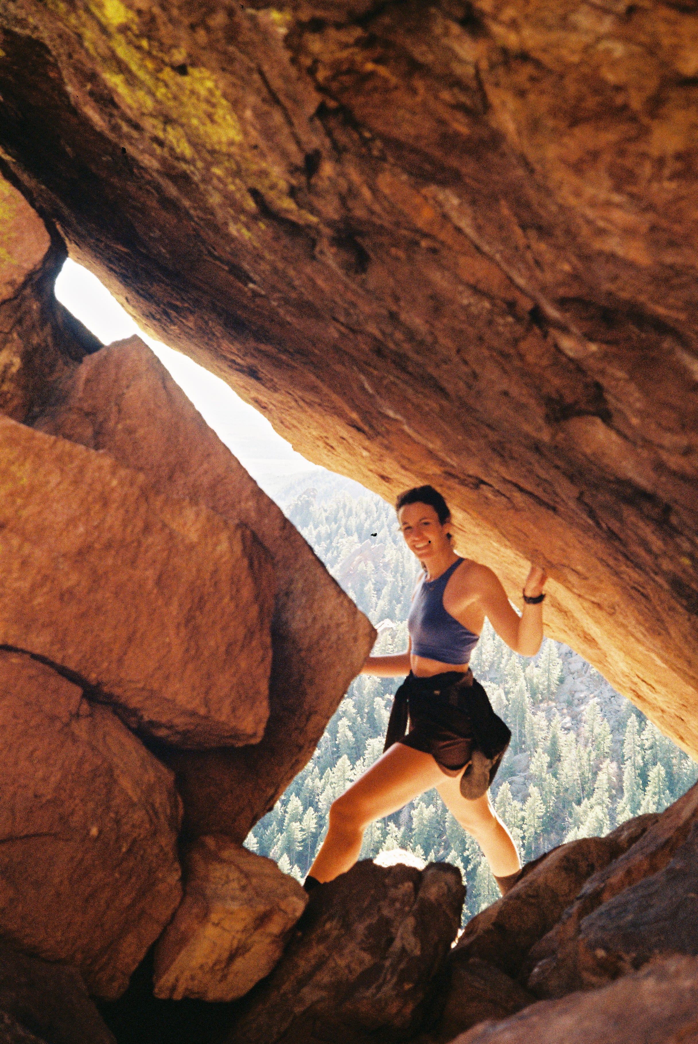
A few disjointed notes/ thoughts:
•started with 6500cal—I think I ate ~6200? I made the mistake of loading my bladder with liquid calories but sometime mid-morning Thursday grew very tired of the taste. No matter the mix, I also find that liquid calories are not thirst quenching, even though I think the slow drip is helpful to maintain energy. If I could do it again, I would reserve liquid calories to flasks and keep untainted water in the bladder. If I had known we would be out for more than 30hrs, I also definitely would have brought additional calories.
•3L of H20 capacity—maybe could have gotten away with 2.5L.
•Watch died only 16hr in (on Red Deer) even though I thought the battery life was good for 28hr. I attribute this to running navigation and the screen being lit up so frequently throughout the night. As a result, our track is a little effed. Started Strava on my phone on RD but it looks like it inexplicably auto-paused between Shoshoni-Pawnee. Oh well. We definitely didn’t helicopter over this stretch.
•The route: this is a highly complicated route. For a chance at an optimized run, I do think at least two seasons becoming familiar with the route (or, twice as many days as we spent) would have been more ideal. For me, everything in between Longs and North Arapaho was unknown terrain before June and it was a lot to take it/ remember having seen each crux section just one time. Still, this was an ideal weather year, so I suppose that was a fair trade-off. And, with Kate moving in September, it felt necessary to just make it happen.
Comments
Nothing yet. Say the first thing.
Sign in to join the conversation.