
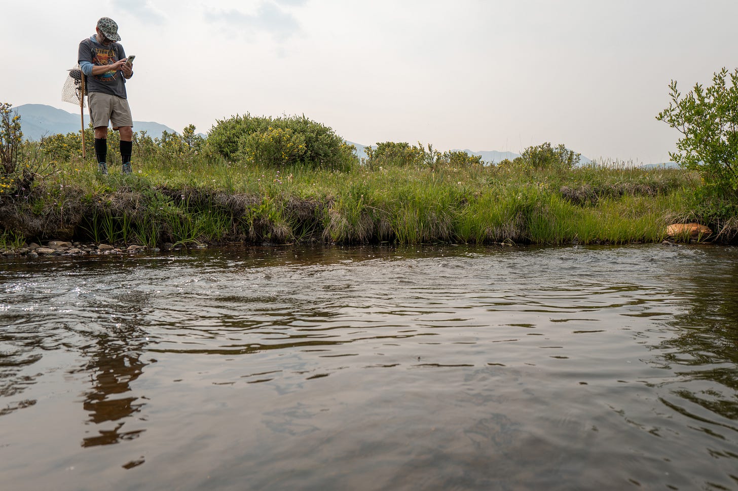
As a kid, I spent hours on Google Earth looking for fishing spots. I’d find a lake or river I wanted to fish, and would then scour for roads I could use for access. I’d even scan the satellite images on lakes for drop-offs, weed beds, or bottom structure. Occasionally, I’d find a backyard or golf course I probably shouldn’t have been eyeing. Before I even hit the water, I’d spend hours researching.
My grandparents lived on a lake near my childhood home. We had a topographic map of the lake with notes on what kind of bottom structure existed and where fish might be caught. I studied that map obsessively and eventually knew the lake like the back of my hand.
As I aged, Google Maps became my go-to tool for dropping pins, finding access points and planning my fishing trips. It felt like the perfect tool, until I realized it wasn’t.
During my freshman year of college, I found out the hard way that Google couldn’t tell me about private land boundaries. At 12 years old, sneaking onto a golf course pond might be a forgivable crime. At some point–call it 16–that’s no longer true. I learned the difference on one of Colorado’s famous tailwaters, when I unknowingly fished my streamer downstream onto private water. I’d accessed it legally, from public water, but now my feet were on someone else’s property. I had no idea I’d crossed into enemy territory until the landowner came down to aggressively inform me. Being from Wisconsin, a state with great public access laws, I was dumbfounded that someone could own the water, or at least the ground underneath it. I guess I should be grateful I wasn’t shot. After that, I quickly started using onX to confirm public and private water.
I was eventually introduced to TroutRoutes at a fly-fishing trade show a couple of years after my private land encounter. After seeing the demo, I got on board, albeit reluctantly. That might sound strange as someone who grew up glued to Google Earth, but this felt different. It wasn’t a general-purpose mapping tool that I was using for fishing. This platform was built by anglers, and it was asking me to drop pins on the spots I’d worked my ass off to find. My gut reaction was that I’d be giving out my hard-earned fishing spots for free. But a few people I trusted told me they liked it, and more importantly, trusted it, so I gave it a shot. Somewhere over the past few years, it became a real tool that I actually use.
Recently, I put my concerns and questions to a group of Gen Z anglers, and I wasn’t the only one who’s wrestled with the idea of using the platforms. Bentley Zylstra (Revelry Collection) told me he’s never used any of these apps at all: “I think it takes away from the actual discovery of streams and rivers. It takes away the satisfaction of finding a hidden gem. But again, I can see why they are popular.”
Jackson Riegler, who’s used fishing mapping platforms in the past, described a concern that goes beyond any one person’s secret spots: “My concern with these sorts of apps is that as they grow, there will be greater pressure to monetize them, which could result in spot burning and other bad practices.”
As far as I can tell, that’s a very valid concern. What happens to our user data when these platforms need to provide returns to investors? Like all tech platforms, I’m sure they know the value of the data they have from their users.
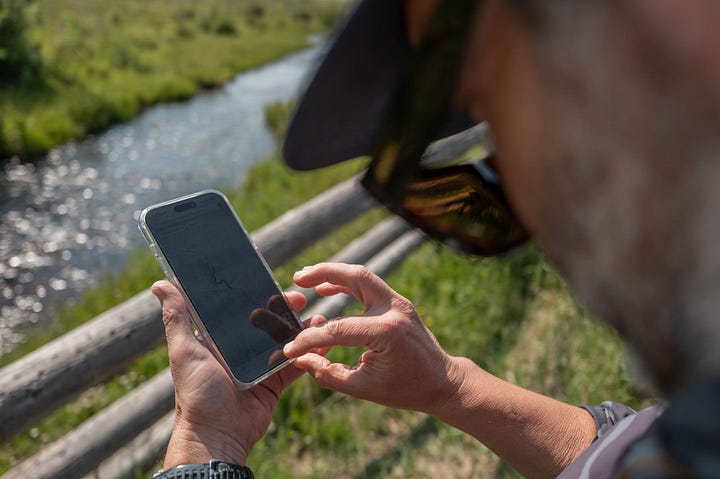
However, I’m still actively using the app in a variety of ways. Here are a few examples:
Driving over an unfamiliar river, I’ll check what it’s rated before I decide whether to pull off. I like that it gives the stream class rating based on color, so I can easily tell if it might be worth fishing.
While on a new river system, I use it to find public access points.
While fishing, I save pins on rivers I want to come back to. Or if I’m just driving by and see a good spot, I’ll drop a pin.
Usually in the days leading up to a trip, I’ll start keeping track of flow and gauge data on the app.
Finally, I’ll check the app to confirm where the public and private water boundaries are.
Connor Smith, another Gen Z angler, uses it even more than I do: “onX and TroutRoutes are definitely my most used; I’ve found countless spots and access points through apps that show property lines and sections of public land. I’ve easily got 400+ pins on my onX and haven’t even been to half of them. Being able to download offline maps is huge too; knowing you’re out in the boonies and needing to find a way back has saved me multiple times.” But he added a caveat: “It can be hard to beat local information. A lot of times apps like these tend to compile everything into one place as opposed to getting specific, local details.”
I’m certainly not a religious user. I definitely don’t open it every trip, and plenty of days I fish entirely without it. But it’s become a real tool for me, and the concerns that made me reluctant in the first place have mostly faded.
What I’ve come to understand is that tools like this can actually help spread people out (something we all desire). A new angler used to be limited to the three or four streams their local fly shop was willing to send them to. Now the opportunities are as wide as you’re willing to look. It’s become easier to go further, find some solitude and have a better day because of it.
Things have come a long way for the rest of the digital natives and me. I’m still not entirely convinced that fishing is the place for technology to be prevalent, but I also know that I don’t have a choice in the matter. So while it’s not an “if you can’t beat em, join em” scenario, I do think these apps are here to stay, so you might as well learn to use them and, hopefully, have better days on the water because of it.
What did I miss? Where did I go wrong? Let me know in the comments.
Also, if you’re a next-generation angler, we’d love to hear from you. Shoot me an email @ watsoncliff23@gmail.com to share your thoughts and join our WhatsApp group.
Cliff Watson grew up in Wisconsin and now roams the Western U.S. like many other displaced Midwesterners. He has fished commercially in Alaska, hitchhiked with a fly rod through South America and developed some thoughts along the way. He writes about fishing, culture and the human experience. Give his Substack, Kudos, a follow. You’ll be glad you did.
Comments
Nothing yet. Say the first thing.
Sign in to join the conversation.