
The Solution to a Decades-Old Challenge in Canal-Irrigated Regions
Narayanpur Right Bank Canal, Raichur district, Karnataka. Photo by Selvamani Sampath
The state of Karnataka has built many dams and canals over the past century.
Today, a fifth of the state’s irrigated farmland receives water from canals, with the figure as high as three-quarters for the semi-arid Raichur district. These irrigation networks stretch across vast agricultural landscapes, distributing water from reservoirs to canals, distributaries, laterals, field irrigation channels, and eventually, individual farms.
While official records typically document infrastructure up to the distributary or lateral level, water delivery occurs through last-mile irrigation infrastructure, such as field irrigation channels. Managing these structures is key to ensuring irrigation access and equity for farmers at the head-end and tail-end of the area irrigated by a canal (known as the canal command area).


Drone images showing Narayanpur Right Bank Canal (red), Distributary 11 (blue), laterals (green), and field irrigation channels (yellow). Photo by Selvamani Sampath
However, systems to plan, monitor, and maintain last-mile irrigation infrastructure are inadequate.
Irrigation departments tend to rely on periodic field inspections and manual surveys. Information on the structures’ condition, cropping patterns, and water access is often incomplete or outdated.As a result, maintenance is largely reactive, irrigation planning relies on assumptions rather than evidence, and equitable water distribution, particularly to tail-end farmers, is a persistent challenge.
Manual surveys do not capture data at the required scale and frequency.
Large areas can take weeks to map manually. By the time the data is compiled, the cropping season might have ended. Continuous monitoring across seasons is rarely feasible due to time, personnel, and cost constraints. This makes it hard to achieve the spatial continuity or frequency required for irrigation management. Since decision-makers have to rely on static or outdated information, it is difficult to estimate if they are releasing adequate water from the canals and if that water is reaching farmers.
Harsh terrain and environmental conditions can make accurate field assessments challenging.
Field teams often find it tough to navigate dense overgrowth, thorny bushes, and waterlogged patches. Snake bites and slipping on uneven field channels are additional risks. They cannot work throughout the day in extreme heat or rainy conditions.
It can also be difficult to recognise some field irrigation channels because they look like bunds (embankments) covered with vegetation. Others are completely inaccessible. As a result, manual surveys can be incomplete or inaccurate.
Drone surveys, geographic information systems (GIS, an integrated hardware and software system to store, analyse, and visualise map-based or location data), and artificial intelligence (AI) technologies can help overcome these challenges.
Where conventional surveys can take several weeks, drones can cover 400 hectares in a single day. They create a high-resolution, spatially continuous dataset that reflects how the irrigation system actually performs. That is why we at WELL Labs used drone imagery across 64 km2 of canal command areas in Raichur to generate:
- Orthophotos (aerial image geometrically corrected to remove camera and terrain distortions).
- Digital Surface Models: a 3D map of the ground surface with natural and built features.
- Digital Terrain Models: a 3D representation of the ground surface without vegetation and structures to reveal the underlying terrain and elevation.
These helped bridge the gap between the manually surveyed infrastructure and the on-ground reality.
Since we planned the flights when the government released water from dams, we could also identify irrigation infrastructure hidden under vegetation. We labelled and digitised the field irrigation channels and also identified sections of the canal with blockages or structural damage. Governments can similarly use drones to identify infrastructure in need of repair and assess whether repair works are complete.


Drone surveys can easily help identify field irrigation channels covered by vegetation (left) and structural damage or blockages in canals (right). Photo by Selvamani Sampath
Since Raichur’s canal systems are largely gravity-based, assessing micro-elevation differences is critical to ensure water flow.
Gravity-driven irrigation systems rely on slopes, which can be difficult to capture through manual surveys. The drone-derived elevation models revealed centimetre-level changes in the slope, helping identify low-lying zones prone to waterlogging. In some locations, elevation differences impacted the water flow, reducing water availability for tail-end farmers. Thus, elevation profiles can enable targeted interventions such as desilting, realignment, or structural reinforcement based on granular terrain data rather than anecdotal complaints.
We also used drone-derived slope assessments to build gravity-based pipelines in field irrigation channels.
WELL Labs and its partners retrofitted six open farm irrigation channels with 2,176 metres of underground pipelines and farm-level valves to manage water flow across 126 acres in the Narayanpur Right Bank Canal’s command area. By conveying water through closed pipelines, the system eliminates the seepage and evaporation losses that happen in open farm irrigation channels. Drones helped us reduce the time spent on designing these last-mile irrigation systems.
Drone mapping is a useful tool to identify canals’ actual command areas and gaps in water access.
It accurately delineates a canal’s command area by mapping the irrigation infrastructure and landscape features. The differences between the planned and on-ground irrigation coverage help identify gaps in water access and support more equitable irrigation.
This boundary-mapping can also help water user cooperative societies (farmer groups that manage irrigation infrastructure and operations) identify relevant command areas and their operational jurisdictions, facilitating more focused planning.
The identification of farm boundaries and crop types can help quantify the cropping area, enabling more precise irrigation.
Accurate information on cropping patterns and the area under cultivation is essential for estimating irrigation demand and planning seasonal water releases from dams. We used AI-based image classification to digitise farm boundaries and identify crops. We trained the model using a dataset of manually digitised farm boundaries across 3,000 acres. It detects the demarcations in high-resolution drone images and creates maps that can be directly used in geographic information systems.
This helped us quantify the cropping area across the canal command area. It provides a stronger basis for irrigation planning than conventional approaches, which rely on a smaller sample of the total command area.


Farm boundary delineation (left) and crop-type identification (right) using drone imagery and AI-based classification. Infographics by Selvamani Sampath
Besides, integrating infrastructure and crop maps in the same GIS framework makes the relationship between water supply and crop water demand explicit. Instead of relying on formerly fragmented datasets, we can gain a consolidated picture of how much water crops actually need and how irrigation planners can control water flow to ensure that all farmers have adequate water for their crops.
While drone imagery also has its challenges, the advantages far outweigh the difficulties.
Drones cannot fly in poor weather and need multiple battery changes for sustained mapping. For accurate insights, we need to ensure that flights overlap with the release of water from canals. In certain areas, GPS signal strength may affect positional accuracy. High-resolution drone imagery and processing software generate large amounts of data, requiring adequate storage capacity.
Drones, processing software, and storage systems require a higher initial investment, but can be more efficient and cost-effective in the long run.
Based on our experience, in-house drone surveys typically cost ₹300–500 per hectare, compared to ₹1,500–2,000 per hectare for conventional manual surveys. However, outsourcing drone surveys to external service providers costs more: ₹2,500–8,000 per hectare, depending on the service provider, survey scope, terrain, and deliverables. Thus, the cost advantage only stands if we develop in-house drone surveying capabilities.
To enable communities and local officials to benefit from drones, we must embed them and other technologies in grassroots irrigation management.
We are validating the findings from the drone surveys with communities using electronic participatory rural appraisal techniques. So far, we have conducted 49 meetings with farmers and community members across Raichur. We also shortlisted and introduced free remote sensing mobile applications to farmers and community members for field-level testing and validation.

Electronic participatory rural appraisal meeting in Mukkanal village, Raichur district, Karnataka. Photo by Anupam Barman
Given drones’ utility for irrigation planning and management, we are exploring ways to boost their use for improved water access and equity.
We shall integrate the datasets we developed with the Karnataka Water Resources Information System (in collaboration with the Advanced Centre for Integrated Water Resources Management, Government of Karnataka). There are also plans to conduct workshops for engineers engaged in irrigation projects to demonstrate how drones, geographic information systems, and artificial intelligence technologies can support canal operations, maintenance, and water management across Karnataka.
Acknowledgements
About CLARE
CLARE is a UK-Canada framework research programme on Climate Adaptation and Resilience, aiming to enable socially inclusive and sustainable action to build resilience to climate change and natural hazards. CLARE is an initiative jointly designed and run by the UK Foreign, Commonwealth and Development Office and Canada’s International Development Research Centre. CLARE is primarily funded by UK aid from the UK government, along with the International Development Research Centre, Canada.
About RS4C
The Remote Sensing for Community-Driven Applications (RS4C) project aims to make water and land governance more just, equitable, and sustainable by enabling communities, water managers, and researchers to use reliable data by combining remote sensing, local measurements, and community knowledge.
The India case study of the RS4C project focuses on the Krishna River basin in Karnataka, jointly implemented by the Advanced Centre for Integrated Water Resource Management, Government of Karnataka, and WELL Labs, and supported by the IHE Delft Institute for Water Education (under the auspices of UNESCO).
Authored by Selvamani Sampath
Technical Review by Syamkrishnan Aryan, Ashima Chaudhary, Vivek Srinivasan, Pavan Srinath
Edited by Syed Saad Ahmed
Published by Aasaavari Mohana Gobburu
Follow us to stay updated about our work
Related Posts
-
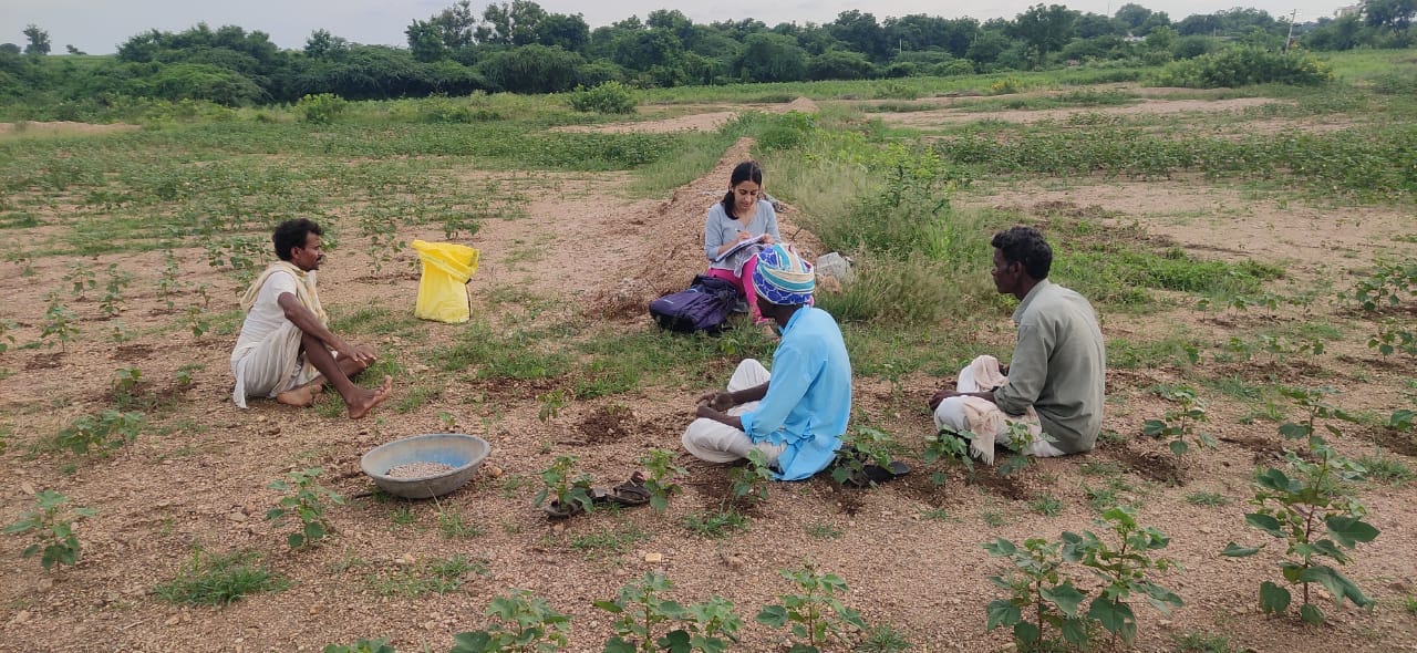
Raichur Land Restoration Pilot: How We Studied the Local Context
-
Field Notes from Sittilingi Valley: How a Farmer Collective Addresses Both Healthcare and Agrarian Distress
The Sittilingi Organic Farmers Association (SOFA) shows how collectives founded on strong community values can benefit small and marginal farmers and the local ecology.
-
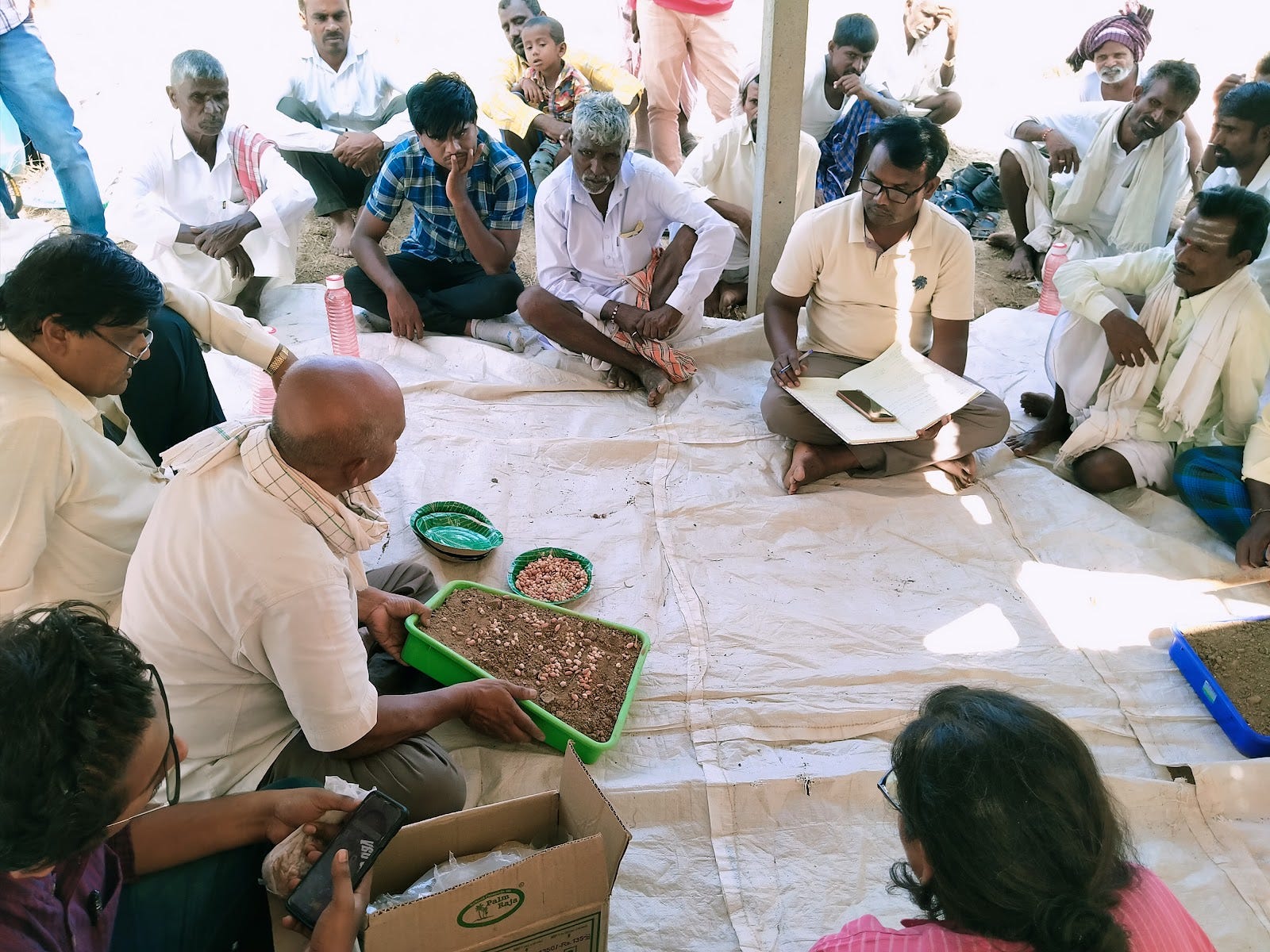
Soil Workshop in Raichur: Farmers Keen on New Methods to Rebuild Soils
Around 35 farmers attended the two-day workshop held in Raichur’s Devadurga taluk to learn about how they can test and improve soil quality,
-
Part 1: Journey Mapping to Plan the Future of Mukkanal’s Farmers
Through journey mapping, farmers can have a say in the blueprints of their own progress
-
Part 2: Livelihood Lessons and Insights from Journey Mapping in Mukkanal
A journey mapping exercise gave us a deeper understanding of livelihood patterns, challenges, and the impact of land degradation on households in our land restoration pilot site
-
Explainer: How Green Manure Can Help Degraded Farmlands Sustain Themselves
The traditional agricultural practice of green leaves manure involves creating manure and fertiliser from natural, homegrown plants as sources of various nutrients for soil