
Cities are spatial by definition.
Where people live. How they move. Which services they can reach. Where heat accumulates. Where investment flows. Where housing becomes unaffordable. Which neighbourhoods are growing and which are being left behind.
Almost every question we work with in urbanism has a geographic dimension.
And yet, for many planners, architects, designers, researchers and policy professionals, GIS still feels like something slightly separate from their own work.
There is the planning team. The design team. The research team.
And somewhere else, there is the person who “does GIS.”
You need a map, so you ask them. You want to understand accessibility, so someone else runs the analysis. You receive the result and continue with your part of the project.
Specialist GIS expertise is still enormously valuable. But increasingly, you do not need to be a GIS specialist to benefit from spatial skills yourself.
What matters is having enough spatial literacy to explore questions independently, understand the data behind them and know what GIS can actually help you answer.
GIS is not really about maps
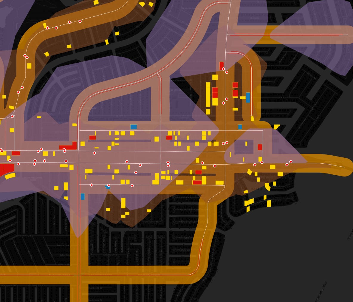
The most visible output of GIS is often a map.
But the map is only the final layer. The real value is what happens before it.
Imagine you are trying to understand access to green space in a neighbourhood. You can map the parks. That already tells you something. But then you add population density. You calculate walking distances. You bring in demographic data. Perhaps you add information on heat exposure, income or age.
Suddenly, you are no longer simply asking:
Where are the parks?
You can start asking:
Which residents have the least access to green space?
Where does poor access overlap with heat vulnerability?
Which neighbourhoods might benefit most from an intervention?
This is where GIS becomes much more than a tool for producing maps. It becomes a way of investigating cities.
And once you start thinking spatially, many familiar urban questions begin to look different.
Instead of simply knowing where public transport stops are located, you can ask who can actually reach them within ten minutes on foot.
Instead of mapping schools, you can investigate which growing neighbourhoods lack sufficient access.
Instead of looking at heat exposure alone, you can combine it with age, income or housing data to understand who may be most vulnerable.
This is the kind of applied spatial thinking we also focus on in our GIS & Spatial Analysis for Urbanists course, where GIS is taught through questions that planners, mobility professionals, designers, researchers and other urban practitioners actually encounter.
Thanks for reading URBAN CAREER BOOST by All Things Urban! Subscribe for free to receive new posts and support our work.
The goal does not have to be becoming more technical
One of the biggest barriers to learning GIS is the assumption that you need to become deeply technical.
You picture dozens of tools in QGIS. Databases. Coordinate systems. Code. Complicated terminology.
And perhaps you think: I am a planner, architect or policy professional. Do I really need all of this?
Probably not all of it.
For many urban professionals, a much more useful goal is spatial independence.
Can you find a useful dataset yourself?
Can you open it and understand what you are looking at?
Can you combine several sources of information?
Can you test an idea before asking someone else to carry out a more sophisticated analysis?
Can you produce a map that communicates your findings clearly?
And can you recognise when the question has become complex enough that you really do need specialist expertise?
That level of independence can change the way you work without changing your profession. A planner remains a planner. An architect remains an architect. A researcher remains a researcher.
GIS simply gives you another way to understand the places you are already working with.
What does this look like in different urban professions?
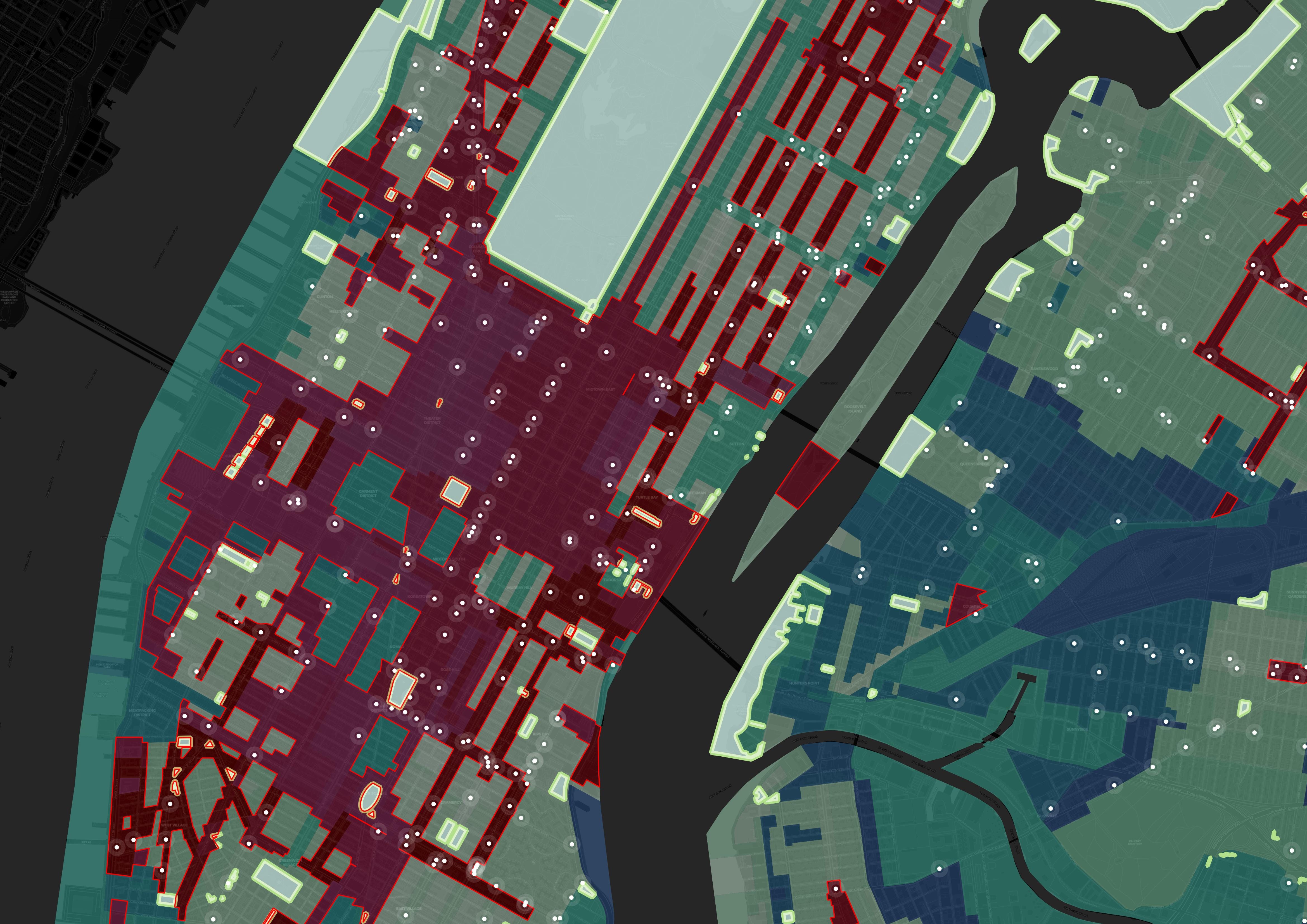
The value of GIS is not the same for everyone.
For an urban planner, it might mean combining land use, demographic and accessibility data before making a recommendation.
For an architect or urban designer, it can help extend analysis beyond the site boundary. Who lives around the project? What services are nearby? How well connected is it? What environmental conditions shape the wider area?
For a mobility professional, GIS can support network analysis, walking and cycling catchments, access to public transport and the exploration of movement patterns.
For someone working in climate and sustainability, spatial analysis becomes particularly powerful because environmental risks are rarely evenly distributed. Mapping heat or flooding is one thing. Understanding where those risks intersect with population, housing and infrastructure creates a much stronger basis for action.
For a researcher, GIS can reveal patterns in data that are difficult to see in a spreadsheet.
For a consultant, it can provide another way to generate evidence, compare locations and communicate recommendations to clients.
And for people thinking about their next career move, spatial skills can also make a professional profile more distinctive.
There is a difference between saying:
I understand urban accessibility.
and being able to show a project where you analysed accessibility across neighbourhoods, identified gaps and communicated the results through a clear spatial analysis.
The same is true for climate resilience, mobility, development, housing or public space.
GIS gives you a way to turn an area of interest into something you can actually demonstrate.
There is also a collaboration advantage
Learning GIS does not mean that GIS specialists become unnecessary. Quite the opposite.
If you work somewhere with a dedicated geospatial team, understanding the fundamentals can make collaboration much more effective.
You can explore the initial question yourself. You can understand what data might be needed. You can make more realistic requests.
And when an analyst explains why something is difficult or why a dataset cannot support a particular conclusion, you have enough knowledge to understand the trade-offs.
You become a better client of specialist expertise.
In smaller organisations, independent practice or research teams where there may be no dedicated GIS specialist at all, the value can be even more obvious.
And then there is AI
This is probably one of the most interesting reasons to think about GIS skills now.
AI is already making many technical workflows easier. It can help explain unfamiliar tools, suggest expressions, troubleshoot errors, write code and guide users through processes that previously required much more technical knowledge.
So does that mean there is less reason to learn GIS?
We would argue the opposite.
AI may reduce some of the technical barriers, but it does not remove the need to understand what you are doing.
You still need to know whether a dataset is appropriate.
You need to understand what a spatial relationship actually means.
You need to recognise when an analysis is misleading.
You need to think about scale, data quality and the assumptions behind the result.
And you need enough understanding to know whether the answer an AI tool has given you is sensible in the first place.
The advantage is therefore not GIS versus AI.
It is being able to combine spatial thinking with new tools intelligently.
So how much GIS should an urban professional actually know?
This is where the answer becomes more nuanced.
A planner does not need exactly the same skills as a GIS analyst. An architect may use GIS differently from a mobility professional. A researcher might need much more analytical depth than someone who primarily wants to communicate spatial information clearly.
But there is a foundational level that can be useful across many urban professions.
Being able to find and evaluate spatial data.
Understanding how geographic datasets are structured.
Combining multiple layers.
Running basic spatial analyses.
Creating clear maps.
Knowing what questions GIS can answer, and which it cannot.
Read more on our blog
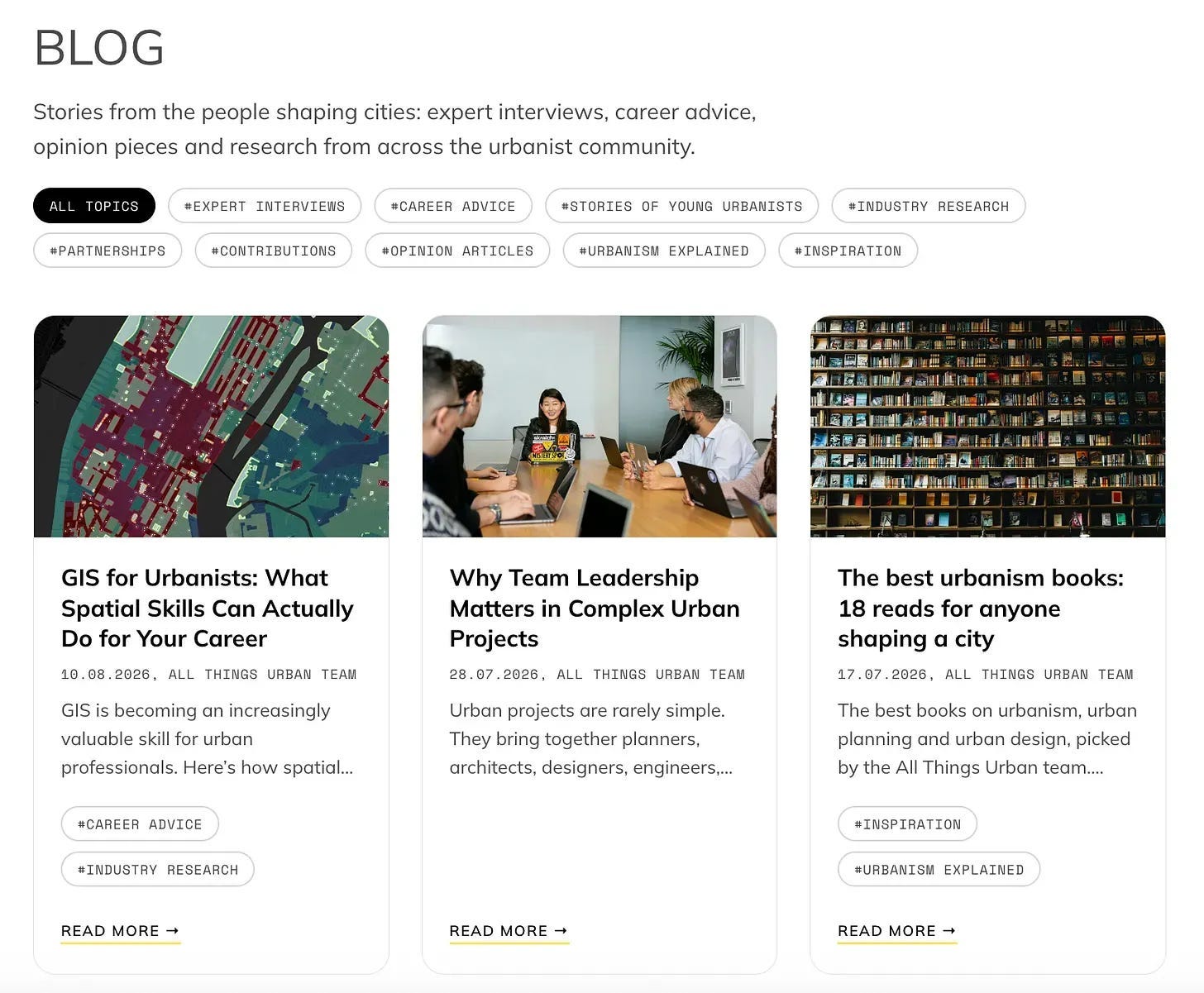
We went much further into this question in our new article on the All Things Urban blog, including five specific ways spatial skills can strengthen your work and career, how GIS can make you more professionally independent, and where different urban professions can benefit from it most.
Want to see what this actually looks like?
If all of this still feels a little abstract, we are also hosting a free live webinar for urbanists: Beyond Maps: 5 Ways GIS Can Transform Your Career in Urban Planning & Design.
We’ll look at five practical ways GIS can be used in urban work, from finding and analysing spatial data to communicating insights and integrating AI into modern workflows.
There will also be a live QGIS demonstration, so you can see how a real urban question can move from data to analysis to a finished map.
No previous GIS experience is required.
We’ll also introduce the next (updated!) cohort of our GIS & Spatial Analysis for Urbanists course, walk through the programme and learning format, and answer questions live.
If GIS has been sitting somewhere on your “I should probably learn this” list, this is a good opportunity to understand what these skills could actually add to your work before deciding how far you want to take them.
Thanks for reading URBAN CAREER BOOST by All Things Urban! This post is public so feel free to share it.
Comments
Nothing yet. Say the first thing.
Sign in to join the conversation.