
Vermont Investigative asked all eleven regional planning commissions the same question this month: what did Act 325 actually change, and does it affect the Future Land Use Maps currently open for public comment? Nine commissions answered. The range of those answers — from a director who corrected his own word choice mid-thread, to a website notice that needed unpacking, to one answer that never quite arrived — says as much about how Vermont’s regional planning system works right now as any single finding does.
The most extensive disclosure
Addison County Regional Planning Commission set the bar early and kept clearing it. Executive Director Adam Lougee’s office produced three rounds of substantive change memos, statutory notice with documented proof of receipt, and parcel-level disclosure specific enough to tell an individual landowner in Panton that their parcel was moving from Planned Growth Area to Rural General. When Vermont Investigative asked a second round of questions — about mandatory language in the plan’s rural policies and whether the plan names specific scenic resources under PUC Rule 5.100 — Lougee’s office answered those too, on the record, before the July 17 comment deadline closed. No other commission matched that level of proactive, itemized disclosure. Both questions from that second round remain open for the public record as of this writing; extensive disclosure has not meant every question is yet resolved.
A correction on the record
Two Rivers-Ottauquechee’s Chief Planner, Kevin Geiger, gave the most detailed and specific answer of the entire outreach — one that included correcting his own agency’s earlier language.
Asked why TRORC’s regional plan doesn’t apply a 10 V.S.A. Chapter 89 conservation-goals reference to its rural mapping, Geiger opened his reply by walking back his own agency’s prior characterization: “Overreach may be the wrong word.” He then laid out a specific, three-part account of why TRORC stayed away from the reference — the statutory language was weaker than it looked (”intended to help meet requirements” falls short of “shall meet”), the underlying conservation plan the law anticipated was never actually completed, and the overlay mechanism for incorporating future LURB decisions into an already-adopted plan was structurally unclear. (Source: TRORC email correspondence, July 13, 2026)
A discrepancy that resolved itself
Central Vermont’s website carries a section labeled, in capital letters, “WORK SUSPENDED: Tier 3 Rural Conservation areas.” Read quickly, it looks like CVRPC stopped work on its Future Land Use Map altogether. Executive Director Christian Meyer’s response said otherwise — CVRPC never stopped its map work, he wrote, and offered to look at whether the page needed clearer language. A direct check of the actual page confirmed both things were true: the notice is specifically scoped to the now-repealed Tier 3 rulemaking, not the broader mapping process, mirroring language the Land Use Review Board uses on its own site. No contradiction, just a header that reads more broadly than it means — the kind of small, fixable gap that public bodies rarely get asked about directly, let alone offer to correct. (Source: CVRPC email correspondence, July 13, 2026; centralvtplanning.org)
What seven directors agreed on
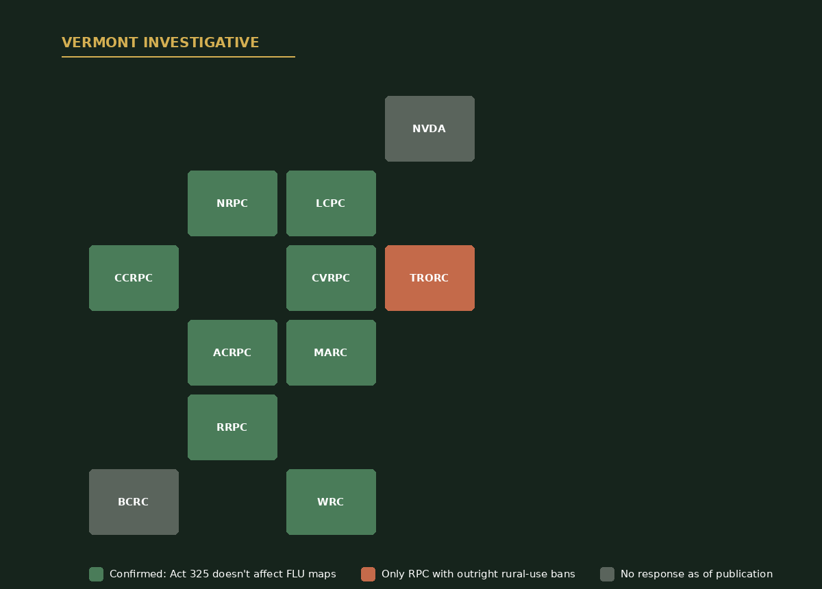
Underneath these individual threads sits a genuinely consistent finding. Geiger, Jason Rasmussen at Mount Ascutney, Catherine Dimitruk at Northwest, Tasha Wallis at Lamoille County, Charlie Baker at Chittenden County, Devon Neary at Rutland, and Meyer at Central Vermont each — independently — described Act 325’s repeal of Tier 3 and the Road Rule as a Land Use Review Board matter, not something that touches the Future Land Use Maps their own commissions are circulating. Baker went furthest, citing the specific statutory sections — Act 181 Sections 21, 22, and 49 — that assign that authority to the LURB rather than to regional commissions. Wallis added that Tier 2 was never a mapped category at all; it was shorthand for land that was neither Tier 1 nor Tier 3. Neary called the repeal “a major relief” for rural towns worried about capacity to comply with the prior framework. Seven independent answers, converging on the same statutory reading, is a clean finding — and it resolves genuine confusion that existed in several of these communities before this outreach began.
Where the language still splits
The consensus on jurisdiction does not extend to how RPCs write their own rural policies. An earlier Vermont Investigative comparison — “Not All Regional Plans Are Equal: Should vs. Shall” — found Chittenden County, Northwest, and Addison County all rely on advisory language in rural categories. TRORC’s plan uses mandatory “shall” provisions instead: a fossil fuel restriction, an EV charger requirement, event caps, and structure and impervious surface limits. At the Land Use Review Board’s June 26 preapplication hearing, board members called TRORC’s language “different from all the others,” with one provision described as “quasi-zoning through regional planning.”
Asked about that comparison, Gregory and Geiger sent examples of mandatory language from three other plans — Northwest, Windham, and Mount Ascutney. Each example holds up as accurate, and each is a mandatory siting or design standard — minimizing fragmentation, controlling erosion, using existing roads — not a use prohibition. Windham’s own plan uses “strongly discourage,” not “shall,” for the use itself in its most protective rural category. No comparable outright use prohibition or cap turned up anywhere else in the ten other regional plans reviewed.
One question, asked twice, answered once
The same specificity Geiger brought to the Chapter 89 question didn’t carry over to a different one. Asked what he’d want people to understand about why TRORC’s plan takes a different approach than every other regional plan under the same mandate and deadline, Executive Director Peter Gregory wrote:
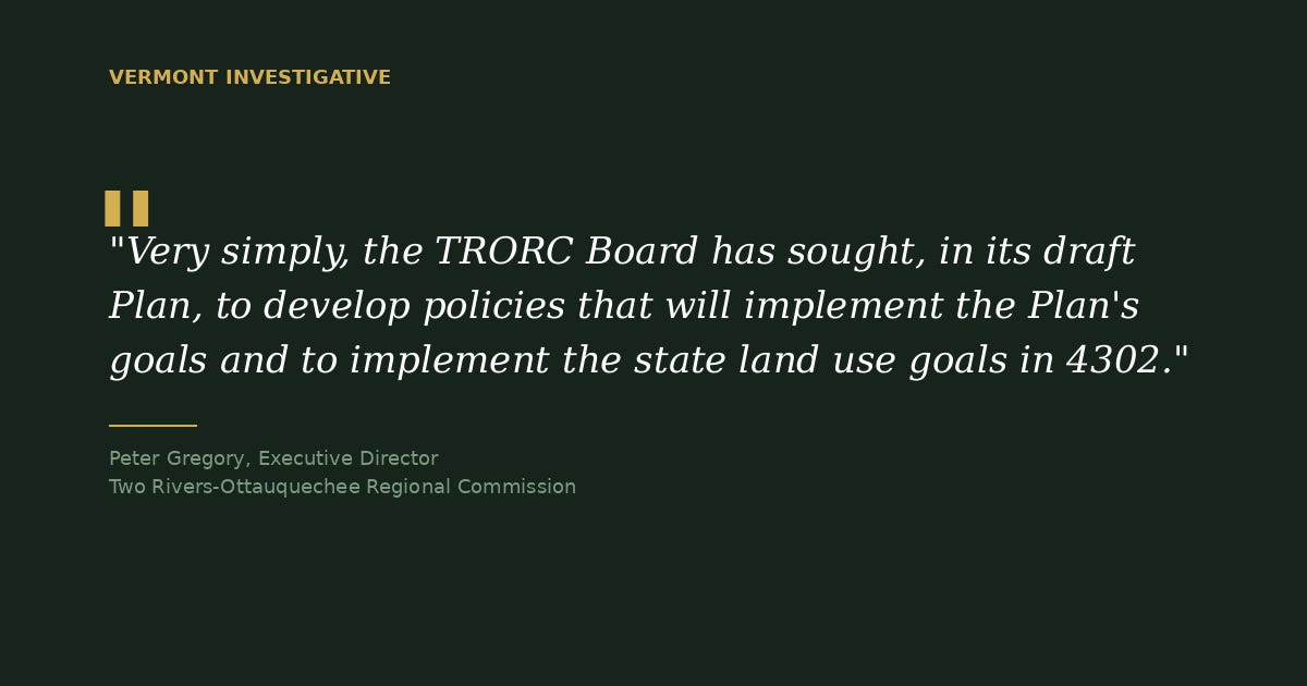
It’s an answer that could describe any regional plan at any stage of adoption. Geiger’s account of the Chapter 89 decision, three days earlier, went into specific statutory language and a specific planning history. Gregory’s answer to this question did not.
Where disclosure stands
All eleven commissions were contacted. Nine responded: Addison County, Two Rivers-Ottauquechee, Northwest, Lamoille County, Mount Ascutney, Chittenden County, Rutland, Central Vermont, and Windham Regional Commission, which confirmed materials on Act 325 were still in development as of this writing. Northeastern Vermont Development Association and Bennington County Regional Commission had not responded as of publication.
Sources: Direct email correspondence with ACRPC, TRORC, MARC, NRPC, LCPC, CCRPC, RRPC, CVRPC, and WRC, July 9–14, 2026; LURB preapplication hearing record, June 26, 2026; Vermont Investigative, “Not All Regional Plans Are Equal: Should vs. Shall,” published June 2026; centralvtplanning.org.
If you find yourself reading, learning, or citing this work please consider supporting it with a Substack subscription (https://alexsys.substack.com/subscribe) or Ko-fi (https://ko-fi.com/alexsysthompson)
Comments
Nothing yet. Say the first thing.
Sign in to join the conversation.