
“It looks sunny just now,” said the man on the Aberdeen bus. “But – ” And went on to tell me just how nasty the weather was going to get over the next few hours. Cloud, and wind, and wet snow; followed for the second half of the night by a hard frost.
“Take a wee walk along the Dee,” he suggested, “the B&Bs are cheap in March; and start through the Ghru nice and early tomorrow.”
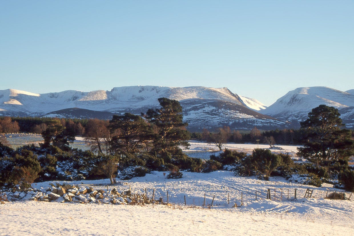
The Met Office, on the other hand, had suggested a little light drizzle, with pressure remaining high. In the sunshine outside the bus, the snowfall of the previous weeks was rushing out as green water past Balmoral. Cloud was gathering, but not any high cirrus suggesting a front coming in. And half way through the long through route is the squalid shelter of Corrour, if things really did turn untempting.
Besides, I did that wee walk along the Dee last summer.
The way out of Braemar starts through Morrone Birkwood. The birches are beautiful even with the leaves off. And leaves-off lets you see the snow slopes of Beinn a’ Bhuird across the valley. I held the birchwood in my mind, for later comparison with the pines of Rothiemurchus to come; and crossed the flooding Dee by the white-railed Victoria Bridge. Through the early afternoon I walked the wide and boringly smooth dirt road runs up to Derry Lodge.
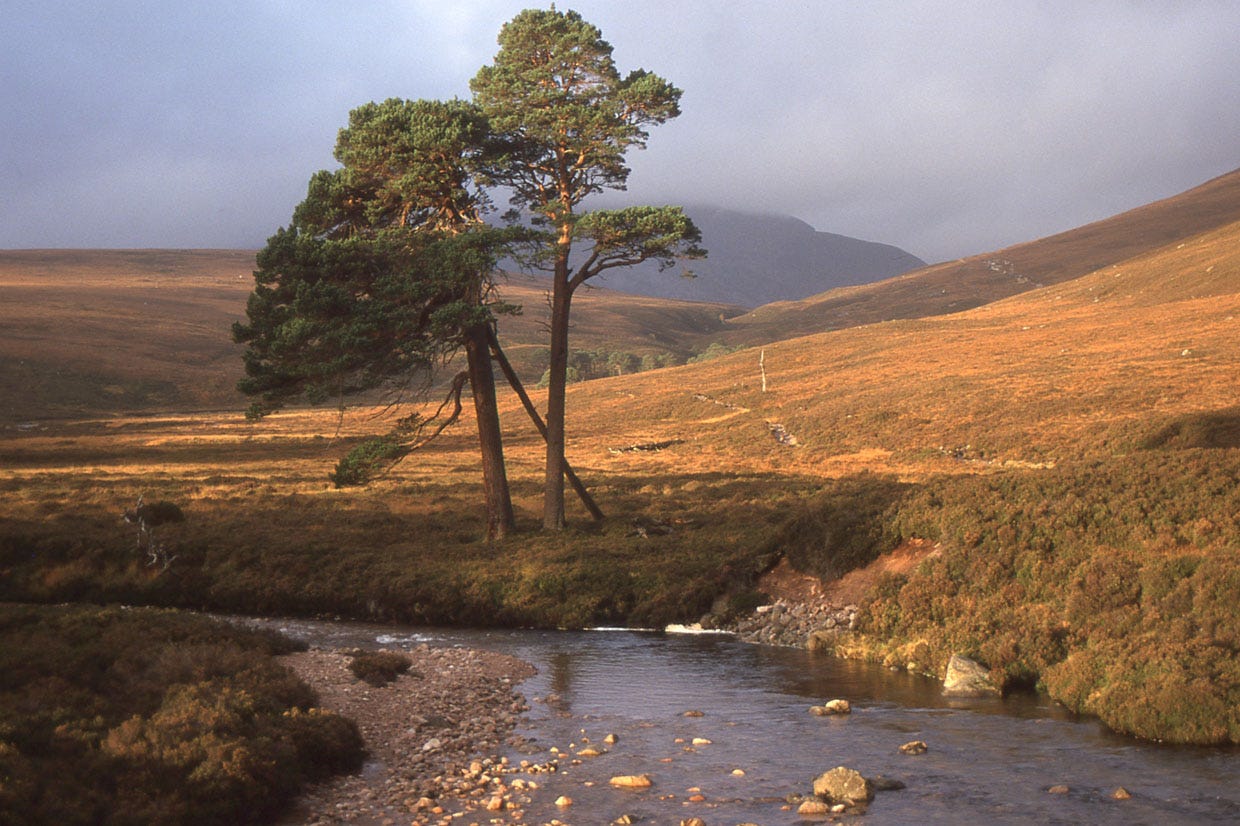
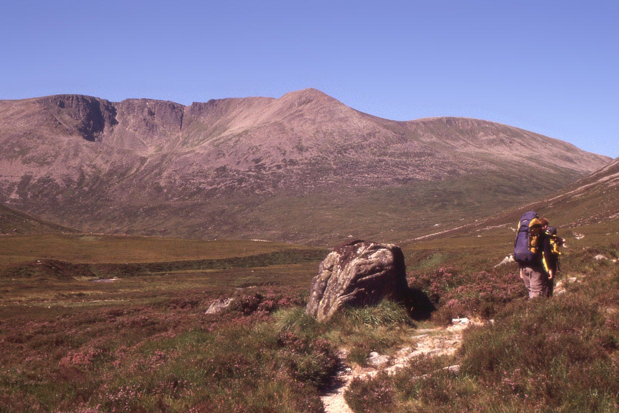
The Lairig Ghru pass, 28 miles from Braemar to Aviemore, cuts right through the heart of the Cairngorms. It is higher, at its top, than most of the hill summits of England.1 High, but also historic: used by the cattle drovers coming south, by the farmwives of Glen More carrying baskets of eggs through to the markets of the Dee. Used, too, by the three tailors aiming to dance their new year’s reel at the Dells of Abernethy and of Rothiemurchus, and at Dalmore on Deeside – though they scored only two dells out of three and died in the drifts under Ben Macdui.
At the ford of the Luibeg Burn grey waves of meltwater were plunging almost head-high, so that I was glad of the footbridge flung across the flood by the Cairngorm Club fifty years ago. And the quarter-mile of boulder and mud to reach that footbridge even made me think more kindly of the dull Derry track.
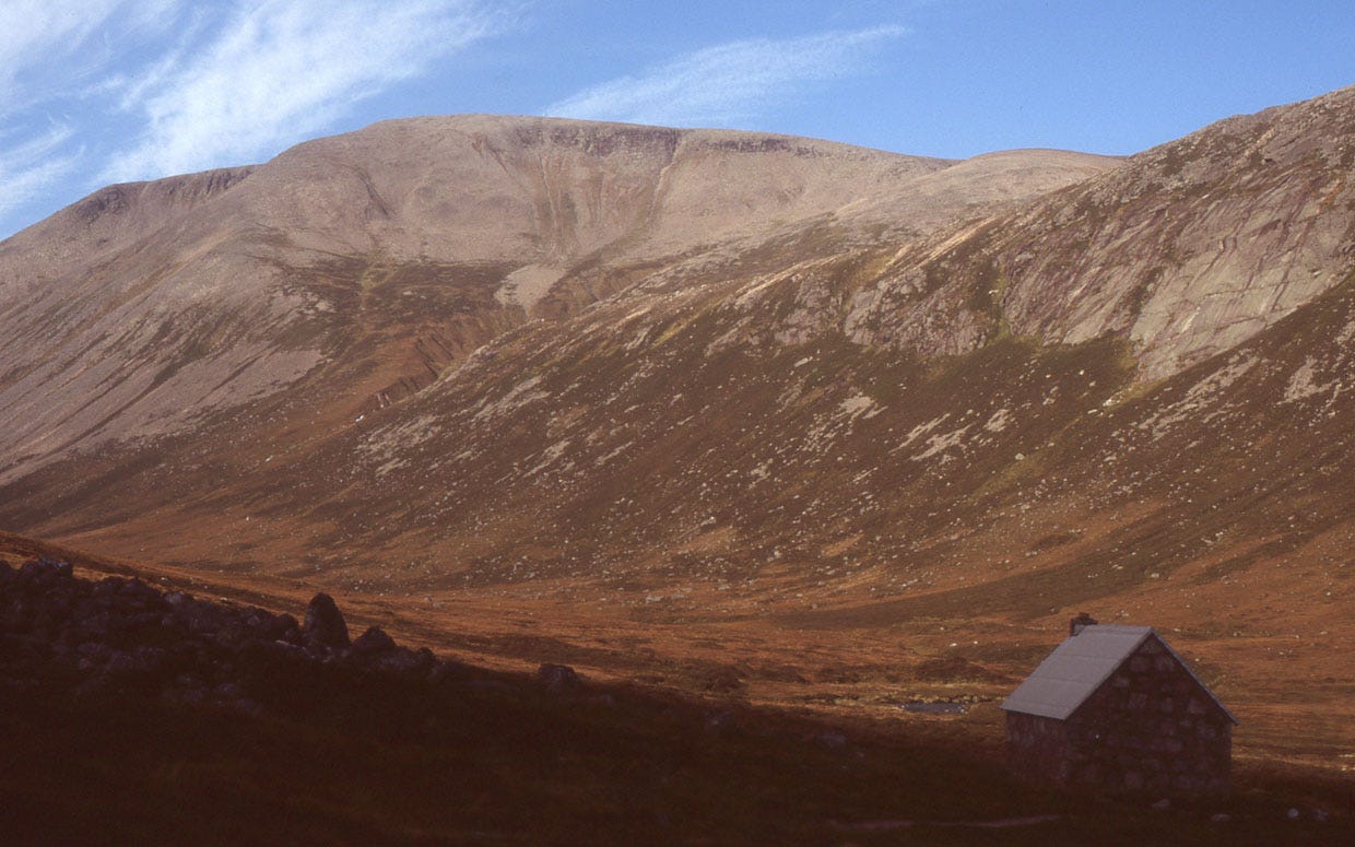
Around the shoulder of Carn a’ Mhaim came the expected light drizzle. (Yes, our hunter-gatherer brains believe the real, live chap on the Aberdeen bus against the mere Met Office. But mostly, it’s the Met Office that gets it right.) Unfortunately, that light drizzle was coming at about 50 kph on a nasty wind. The dramatic sunrise-to-sunset sleepout seemed unlikely to be fun underneath such vigorous drizzle and on top of an inch or two of flowing meltwater. Over across the Dee, the wet slates of Corrour bothy gleamed invitingly.
But… it was only half past four. And since it was now the exciting modern era of 2005, there was another possible plan: to cross right through the pass in the dark, aided by the new torch whose light-emitting diodes wouldn’t run out for another 99 hours.
Even though drizzly and grey, it was not particularly cold. In fact it was particularly warm. My feet sank deep into the snow patches, and meltwater was streaming down a dozen brown waterfalls and running ankle-deep across the path.
A mile past the bothy I saw a spark of life: three Irish walkers coming down the pass, their bright jackets turned to grey by the day’s dark and the great snowstreaky mountains on either flank.
“Is the bothy really there?” they asked.
I pointed to its roof gleaming in the distance, and the most emotional of the Irishmen – the one who’d been lagging behind a bit – bowed down towards its wet welcome and raised his hands in the air. I added that the bridge they saw on their map had been existing in the real world for fifty years now, and continuing to exist as I passed it twenty minutes ago – and took a quick step backwards in fear of getting kissed.
The infant River Dee ran brown and lumpy between banks of dirty snow, like something coming out of a glacier in Switzerland. The footstep holes of the Irishmen wandered black across the soggy snow, occasionally bottoming out into running water. Among the boulders the Pools of Dee showed greeny-grey, with floating snow islands. Irish footholes led me across steep banks of slush above the water.
The top of the pass was a narrow stonefield between slopes that rose, grey snow and black boulders, into the dark cloud not far above. A solitary ptarmigan, in winter white, wandered across the stones, sampling the newly exposed damp moss. Behind the bird, a streak of neon orange was the lights of Aviemore, ten miles away and two thousand feet below.
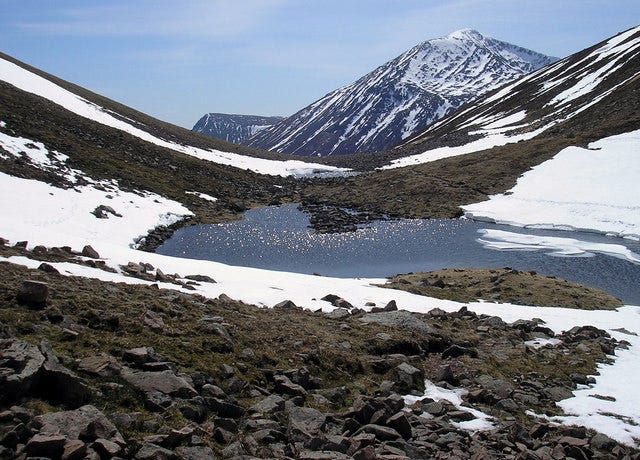
The chill of the oncoming night was making some of the snow almost firm enough to walk on. But between the snow patches were darkening boulder fields, interrupted by the youthful and boisterous Allt Druidh stream. The path appeared briefly, then vanished into a temporary Pool of Druidh – there aren’t usually any pools on the Aviemore side of the pass. I hurried downhill. Thing is, there’s a point where the path crosses a mighty pile of boulders with the Allt Druidh flowing through underneath. I wanted to pass that point before it got dark: especially if, in the snowmelt, the Allt Druidh should be flowing over, rather than below, the boulders.
The boulders were still managing to be bigger than the river. In half-darkness I clambered from rock to rock, with river noise coming out of the black spaces between. On the path below, I hunted out my new torch and switched it on. And, as happens when you switch on a torch, the darkness rushed in and the world shank from massive dim hills to just one pale patch of path. A metaphor, of course, for modern civilisation, its technology eliminating the wilderness. And good show too, I say, when it means hardly at all falling into the smelly peat holes on the way down out of the Lairig Ghru.
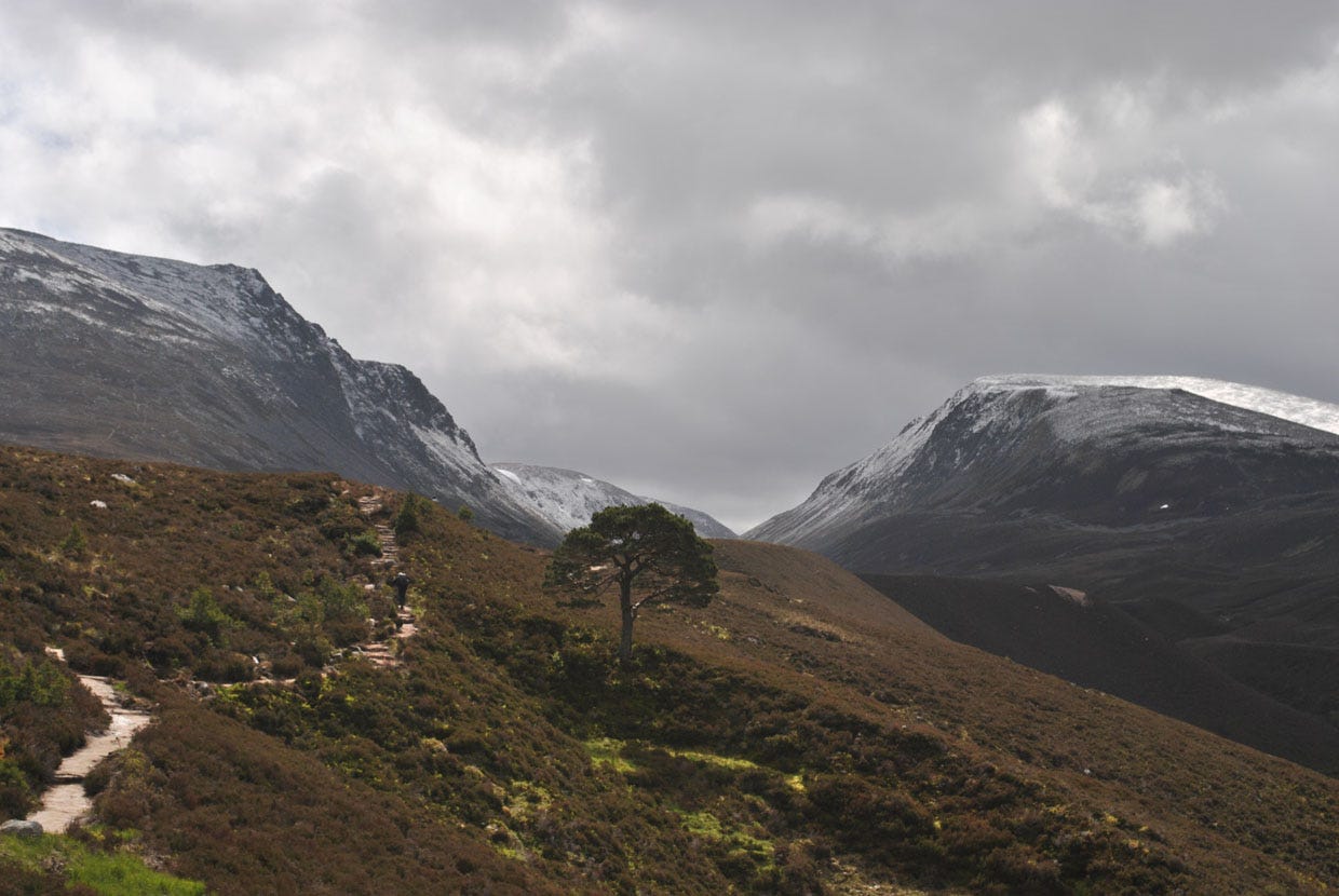
After half an hour, the edges of the torchlight showed heather stalks rather than stones. Pine tree shapes stood black against the still-distant glow of Aviemore. Wind in the branches paradoxically made the weather sound worse even as I entered the shelter. Soon I reached the path junction Piccadilly, so named because of being so busy. But while nightfall brings drug dealers and girls in tight trousers to the one in London, in Rothiemurchus Forest it’s only the wind, and the river half a mile away, and an owl.
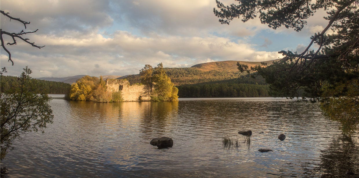
From Piccadilly out to Aviemore is just six miles of pines. The miles are smooth, and would be easy enough if not for the twenty-three or so of them already behind me. By daylight these wide paths are slightly boring unless on a bike. At night, though, you switch off the torch (despite that its civilised diodes still have 98 hours of life) and follow the pale sandy streak below the trees, and listen to the river and the owl. As you go you think about thieves in the night, passing silently between the trees two centuries ago on their way to Ryvoan and the fat cows of Aberdeen. A quietly splashing blackness by the path is Loch an Eilein, and it’s worth the extra half-mile to see the castle standing dark in the starlight, under snow-streaked rounded mountains and jaggy pines.
A pheasant shrieks. Braeriach’s northern corries gleam between the tree trunks. A scrap of pathside litter catches the light of the moon. The River Spey has flooded into the forest, a black shadow below the birches, and runs strong and almost silent a metre below the old railway bridge.
Lights shine on the other side. I haven’t booked my Youth Hostel ahead, but perhaps it isn’t actually full up?
“Full up? You must be joking,” says the SYHA warden. For what has Aviemore to offer, in wet March, as the Spey carries the last of Cairn Gorm’s ski season away into the North Sea? What but 28 miles of forest and mountain, and two great rivers – the ptarmigan and the owl – and the island castle under the moon.
Lacking the sudden pheasant, the hostel was even quieter than Rothiemurchus Forest. But the members’ kitchen wouldn’t be locked against me for another half-hour.2
835m, slightly higher than High Street and slightly lower than St Sunday Crag
If planning to walk the Lairig Ghru, note that it takes almost as long to get back from Aviemore to Braemar by public transport. It may be more convenient to add in a preliminary day from Blair Atholl up Glen Tilt, which is almost as good as the Ghru itself and has a straighforward link back by bus or train. Your overnight could be at Ruighe Ealasaid, the Red House bothy, south of White Bridge.
Comments
Nothing yet. Say the first thing.
Sign in to join the conversation.