
After the tenth time out on the hills, or maybe the twentieth, you know a thing or two about this maps malarkey. And maybe the weather forecast’s got some little grey clouds in it, but you want to go up Great Gable.1
This is an extract from The Hillwalkers Bible, published two years ago – the sales seem to have either bottomed out plateau’ed up, depending which way you hold the graph…
Find out more here.
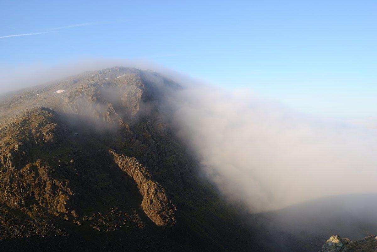
Great Gable is great, just like the guidebook said it would be. But up at the top of it there’s a waft of fluffy white cloud, just like they get up there on Everest. Inside the cloud it’s all clammy and romantic, rocks and boulders looming like sleepy trolls, rainwater dripping off all the little overhangs. And it’s easy! You just follow your nose past some little cairns, and here’s the top of Great Gable with its little rocky outcrop and its plaque commemorating the fellwalkers of the First World War.
You’re heading for the route down towards Beck Head. So now you turn half-right, that’s what the map tells you to do. The stony plateau doesn’t show any paths. But look, you’re passing a cairn. But then you notice another cairn a few metres away on the left. And another one on the right… Great Gable has cairns everywhere, which is just as helpful as having no cairns at all.
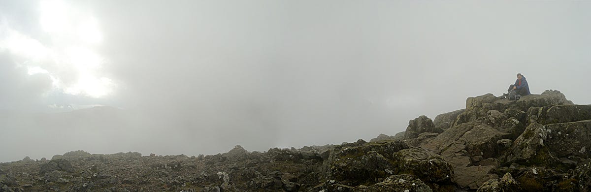
So you go back to the summit and start again, and this time you use the compass to get the correct direction. A few minutes later you’re at the corner of the plateau. The stones and rocks are a bit trodden on, so this does look like the right way. And the mapping on your phone thinks so too.
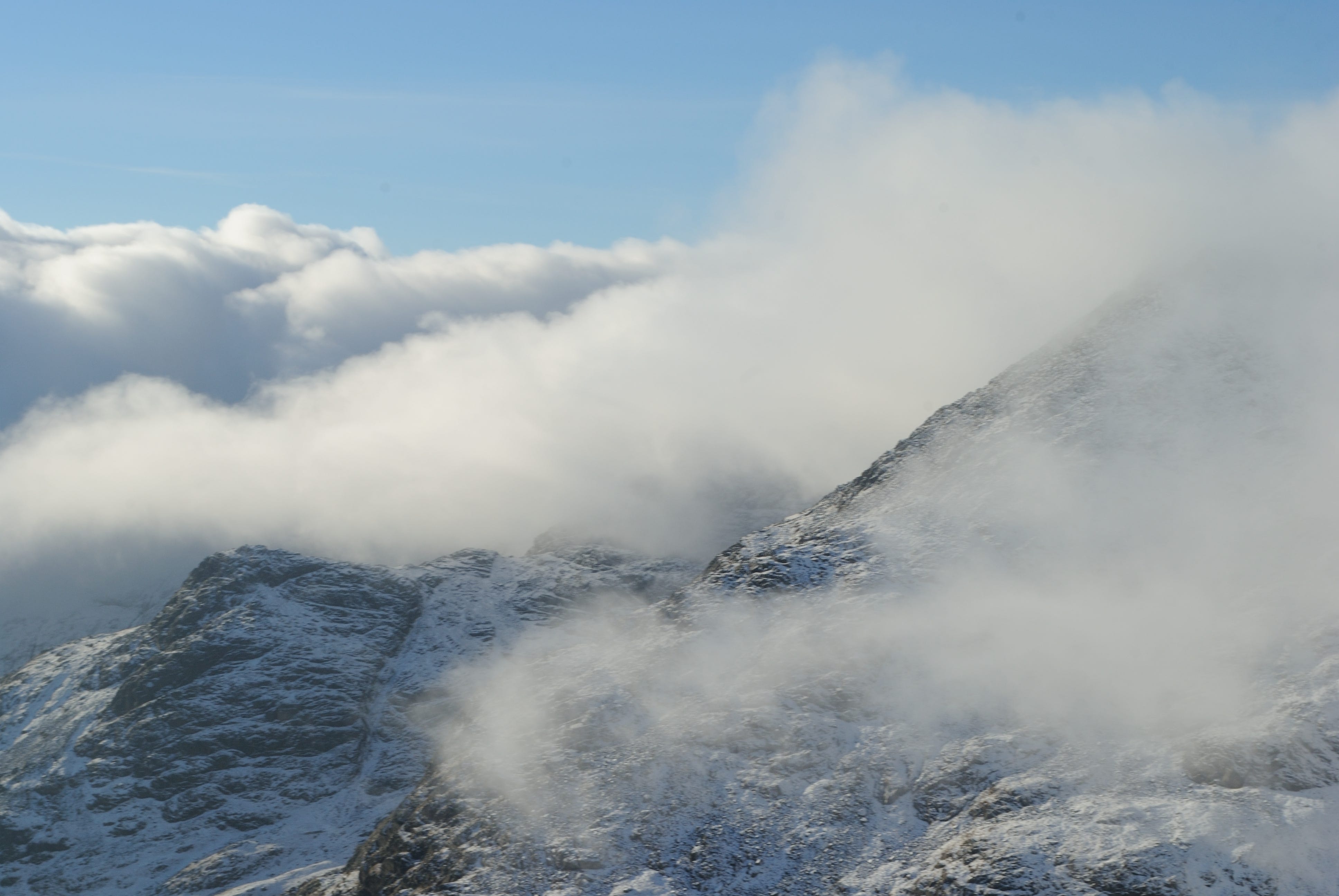
You work your way downhill, on the rather slippery rocks. And somehow – it’s actually a rule of Nature – the cloud on this side of the hill goes down a lot lower than it did when you were coming up...
Lost but not least
• Is there a sheltered spot behind a boulder or a stone wall? Head for it. But don’t walk on and on getting more and more lost while you’re looking for it.
• Don’t split up the party to look for the right way down. Just don’t do it! Please! Better one group of lost hillwalkers consoling each other than six separate lonely lost hillwalkers.
• Put on some more clothes, have a drink, have a snack. Cold, dehydrated minds don’t think so well.
• Take a good look at the map and work out where you think you are, and where else you might perhaps be. Then take a quick look at the smartphone to see if you’re right. (You probably don’t want to take a long slow look at the phone, not while it’s raining like this.)
• Still can’t work out how to continue your planned route? Then what does the map say about the slopes around you. Among the eight possible directions, there’s going to be one that gets you down into the valley without any crags or very steep slopes or raging torrents. It might even be a valley that doesn’t involve a £70 taxi ride to get back to your youth hostel.
• Finally, congratulate yourself. You’ve had an educational experience worth hundreds of pages of guidebook instruction. You’ve learned how to get lost.
Eventually, with greater experience, finding the way on hills gets to be almost instinctive. A couple of decades back, I headed onto the Glyder range in Snowdonia on a damp summer day. Cloud on the top, but many years of map-and-compass mean I can cope with that.
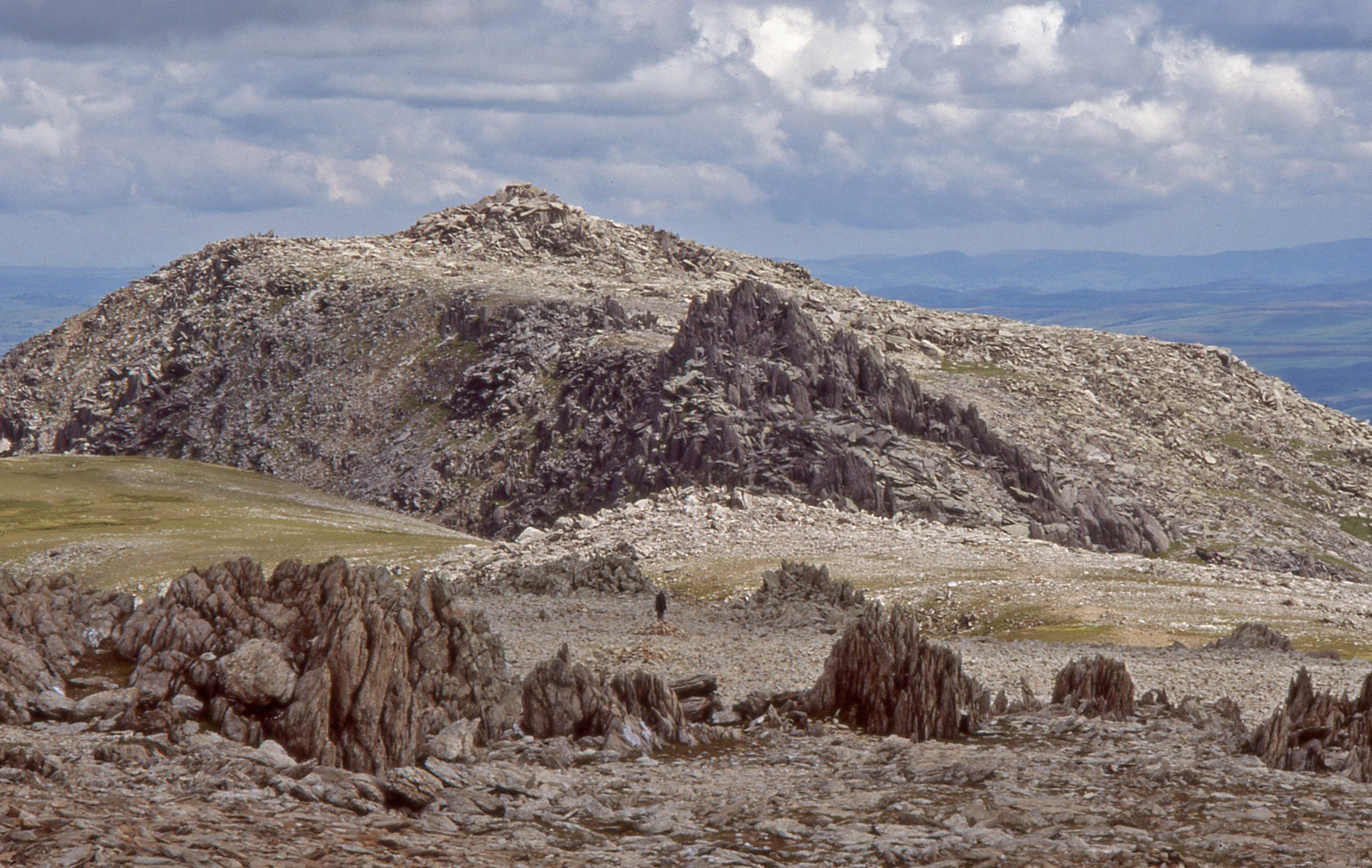
From Glyder Fawr, the big Glyder, the next bit is a little bit tricky. The stony plateau doesn’t show the path, and the continuing ridgeline is wide and flat. Expecting this, I already set the arrow on my compass into the necessary direction, just north of east. And sure enough I reached the familiar pile of huge, rounded boulders that’s the summit of Glyder Fach, the smaller Glyder.2
To be lost is to be fully present, and to be fully present is to be capable of being in uncertainty and mystery. And one does not get lost but loses oneself, with the implication that it is a conscious choice, a chosen surrender, a psychic state achievable through geography.
Rebecca Solnit: A field guide to getting lost ((2006)
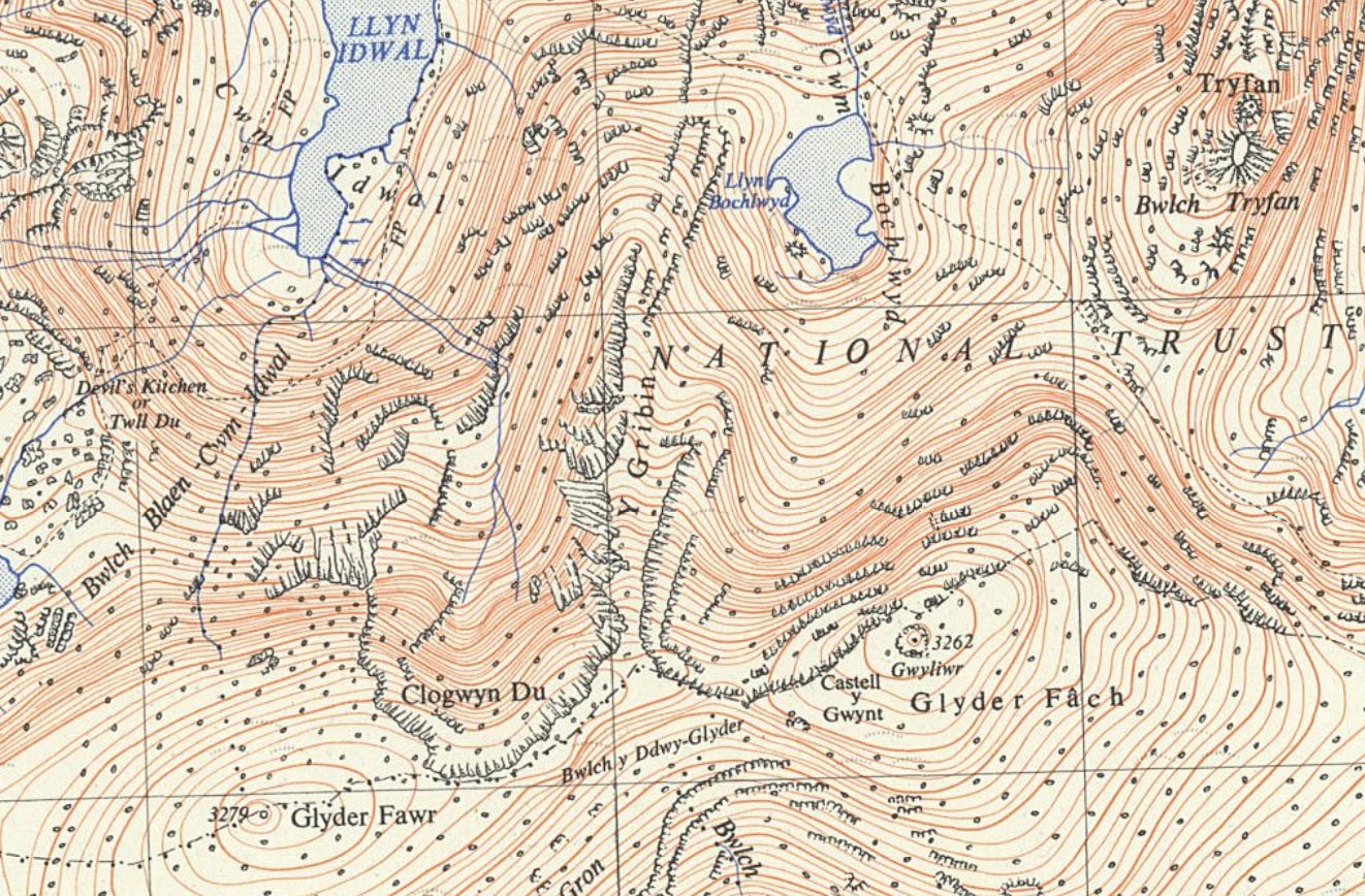
The next stage was going to need a little attention. Fortunately, the top of Glyder Fach is a place I’ve been many times before. I clamber off the rockpile and continue northeast, the compass bearing already set in advance. A couple of minutes, and the Cantilever rockpile emerges from the grey mist ahead. The Cantilever is a narrow rock suspended at one end like a diving board. And like a diving board, it usually has three or four people bouncing up and down on the unsuspended end. I pass to its left, following the tops of the steep drops leading down into grey cloud. Cloud which I know is obscuring a fabulous view down onto the A5. And in another couple of minutes, the next familiar landmark: the cluster of splintery rocks that’s the top of the Bristly Ridge.
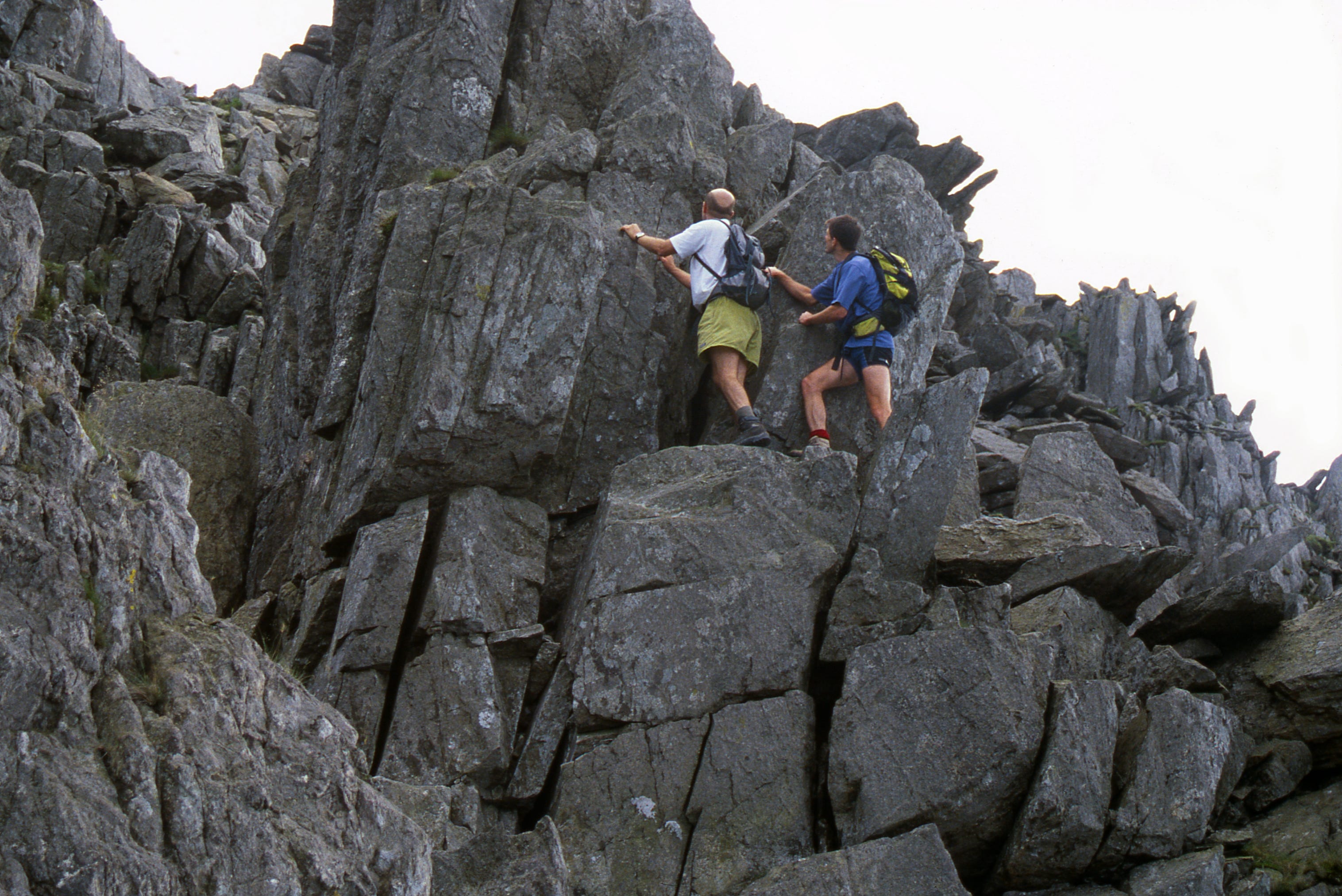
The rocks of Bristly Ridge descend to the wide and important saddle at the base of Tryfan. The rock Bristly Ridge is sound and rough, and there are plenty of handholds and footholds. But in rain and wind I wasn’t fancying those airy moments. I headed to the easier way, the wide gully running down beside the ridge on its right. There’s a big, zigzag path, or rather multiple paths, their top marked by a sprawling cairn.
The cairn is slightly down from the top of the slope, and in the mist I passed above it without seeing it. Once I realised this, I turned left, down the slope, to meet the zigzaggy path now somewhere below me. At once I found a small sheep trod, and followed it down for a while. But the main path down here is a big, eroded one, all loose stones and gravel. As I still hadn’t found that main path I started slanting left towards it.
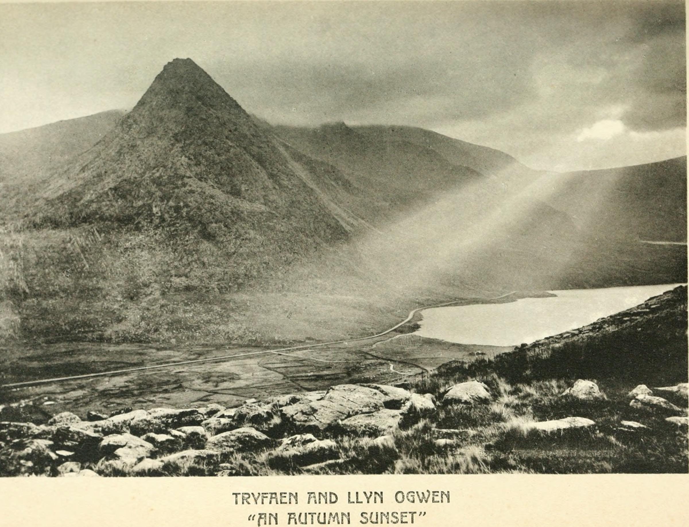
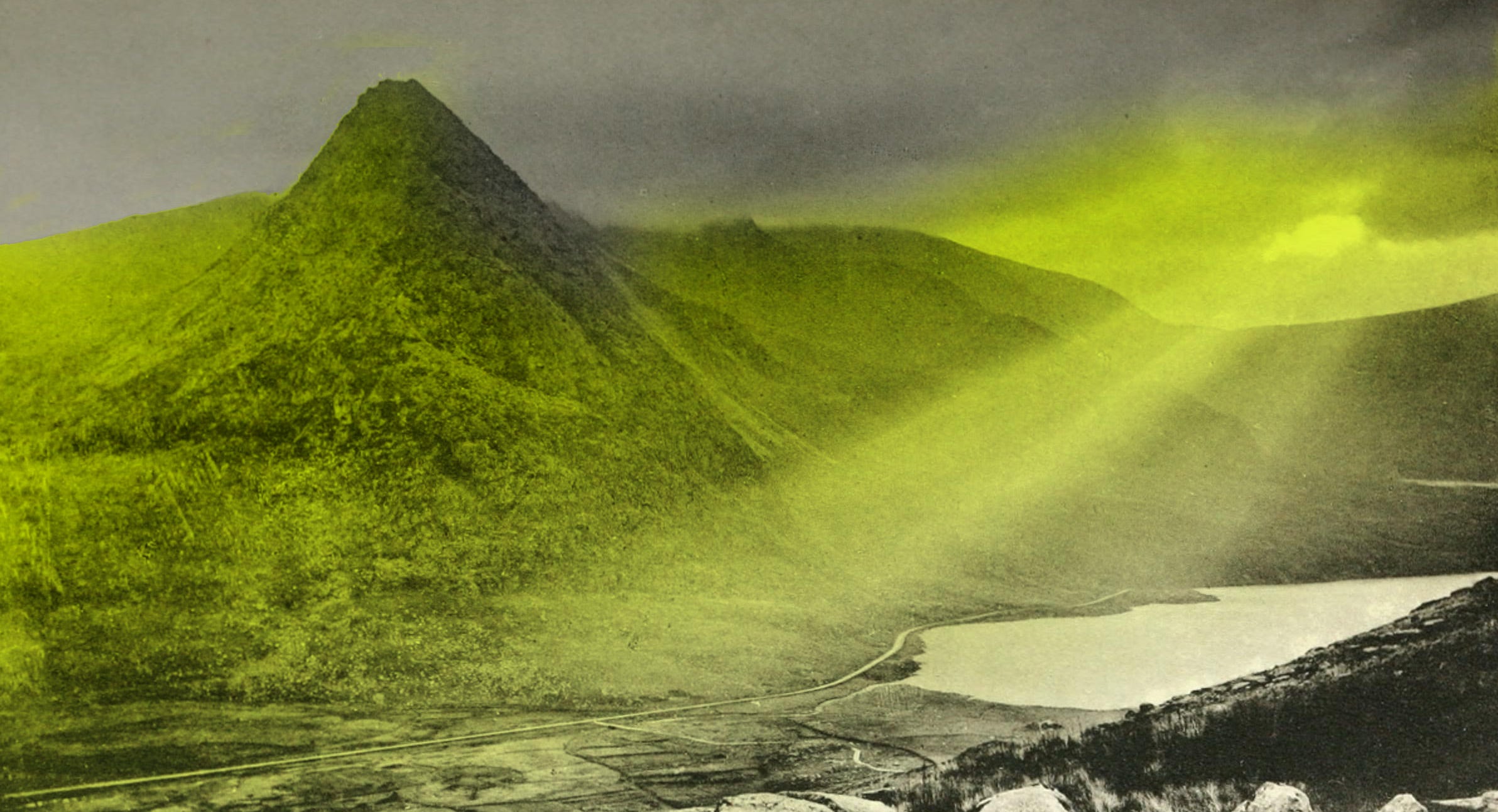
Thou findest but a darkness, and as it were a cloud of unknowing, thou knowest not what, saving that thou feelest in thy will a naked intent unto God... And therefore shape thee to bide in this darkness as long as thou mayest, evermore crying after him whom thou Iovest. For if ever thou shalt sec him or feel him, as it may be here, it must always be in this cloud and in this darkness.
The Cloude of Unknowyng - Anonymous, 14th Century
The slope was quite steep, but not steep enough to be worrying. The downhill direction was a bit wrong, more northwest than northeast, maybe I needed to head back to the left a bit more. It was raining, and my hands were cold, I really didn’t want to get out my map, and my glasses, and put on my glasses, and verify this stuff which I knew anyway. So I carried on downhill.
I still didn’t find the big zigzag path.
I could head back up and find the sprawling cairn and start again from there. But I’d been going downhill for quarter of an hour, and I really didn’t want to go back up. I carried on downhill.
“Not all who wander are lost,” says Tolkien. However, it remains the case that some of us are. I still didn’t find the big zigzag path.
I did have an early GPS device. I carried it to record grid references for the readers of my guidebooks. As a competent map-and-compass man, I certainly didn’t need to use the thing for finding my own way with.
I took out my GPS device. I asked it for my current grid reference. I took out my map, and my spectacles, and worked out where the grid reference was at. Just as I got it figured out, the cloud rose enough to save me the trouble.
When I’d passed the instantly recognisable rocks at the top of Bristly Ridge? Well – I hadn’t. I’d passed some other rocks instead. When I’d failed to see the sprawling cairn at the top of the path because it was just down the slope in the mist – I’d actually failed to see it because it wasn’t there. I’d turned downhill on the nearer, left-hand side of Bristly Ridge instead of the further, right-hand side.
It wasn’t too serious. I just needed to contour to the right below the foot of Bristly, to the wide saddle I’d been aiming for and Tryfan rising behind it. Not great, for a guidebook writer: but I was the only one who’d ever know. It wasn’t as if I’d be writing it down in a book, for all the world to see. I mean, that would be embarrassing, wouldn’t it?3
The Hillwalking Bible: contents, etc
For lovers of the extremely obscure in literature equally with weather conditions, this piece borrows from ‘The Gentle Art of Making Enemies’, the little monograph by James McNeill Whistler, 1890, with all the rude things he wished he’d said in court during his libel action against critic and Lakeland lover John Ruskin.
These events took place before the arrival of mapping apps on our phones. Getting lost is now more difficult, but still do-able if you try.
The book being ‘The Hillwalking Bible’. Selling surprisingly badly, did I mention? “A witty, wise, and wonderfully comprehensive companion for anyone who's ever felt the pull of the hills. [Turnbull's] reflections on the joy of walking—on the crunch of frost underfoot, the glow of bracken in morning light, the quiet companionship of a red kite overhead—remind us why we walk in the first place.” Michael McGregor, judge, Lakeland Book of the Year Awards (longlisted entry). Guess I should have pasted that into my webpage shouldn’t I?
Comments
Nothing yet. Say the first thing.
Sign in to join the conversation.