
So much is happening with the weather almost daily this year thus far. From daily severe weather chances on the Plains to major wildfires in the Northwest U.S. — it seems like the SW ridge is driving activity to some pretty wild extremes this year.
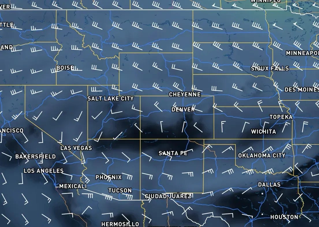
The ridge, centered on the southwest U.S. right now, is forecast to weaken over the next week as a new monsoonal moisture surge makes its way north.
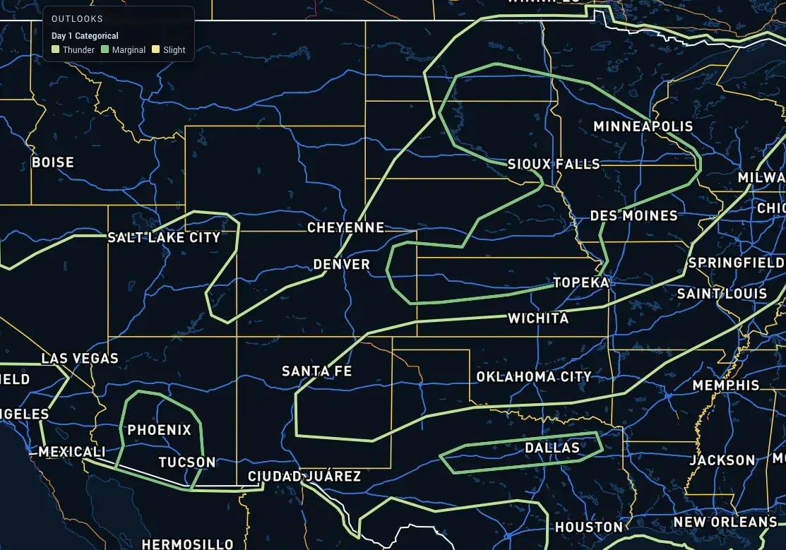
A few severe storms remain possible from the Central Plains into the Southwest, along with another possible zone along I-20 in Texas later today. The main threats remain hail and damaging winds, as things just aren’t quite lined up for tornado potential anywhere. Additionally, dry air seeping in from the east continues today, with a large overall downtick in monsoonal storm coverage away from the higher terrain.
A 500mb ridge over the SW US will weaken this next week, bringing a surge in monsoonal moisture into the Southwest with a large uptick in storm activity across New Mexico, Arizona, and adjacent portions of the desert SW. Severe weather chances will continue across the Northern and Central Plains, associated with the jet stream that’s riding up and over the ridge this week.
In short: the pattern of the last two-ish months will persist through this next week as well, with minor variations from region to region.
A select few people will get access to our new app a few days early next week. How do you become one of those people? Simply respond to this e-mail and let us know you’d like a chance to give it a spin!
Comments
Nothing yet. Say the first thing.
Sign in to join the conversation.