
I love maps. I always have.
For many years I kept a map I made when I was a kid of my childhood neighborhood. The neighbor kids and I were always playing outside and exploring the woods all around our homes. To me, this freedom to explore sparked a life-long yearning to keep exploring. I don’t recall ever being afraid while playing out in the woods. They just seemed to be an extension of our backyards. We followed game trails, or made our own, that weaved through the stands of alder regrowth and douglas fir forests, crossed unnamed creeks, and built little hideouts.
The map I drew chronicled the boundaries of that alternate realm: the roads that enclosed our forest, the main trails, the creeks, and our secret spots. Looking back, it was an incredible place to grow up. Perpetual green, the sound of moving water, and the freedom to explore without fear. That sense of exploration never really left me.
To me, maps represent more than just landmarks on a page. They are an invitation—explore, imagine, and consider the lives of people who have passed through it long before us. The pinnacle of map exploration in my opinion is an actual, physical map. One that you can fold up and put in your pocket or your car’s glovebox.
What a backwards thought in today’s age with our digital mapping systems that occupy fractional space on our smart phones, no? If you need to get from point A to point B without any care in the world for what lies in between, those map apps do their job in a sanitized, perfect way. However, hearing stories (true or embellished) of drivers mindlessly following directions into lakes makes me wonder if we have given away too much of our own ability to navigate. I suggest that using a real map, studying routes, familiarizing yourself with the terrain builds adaptability that goes well beyond navigation.
Plan a road trip using only a physical map.
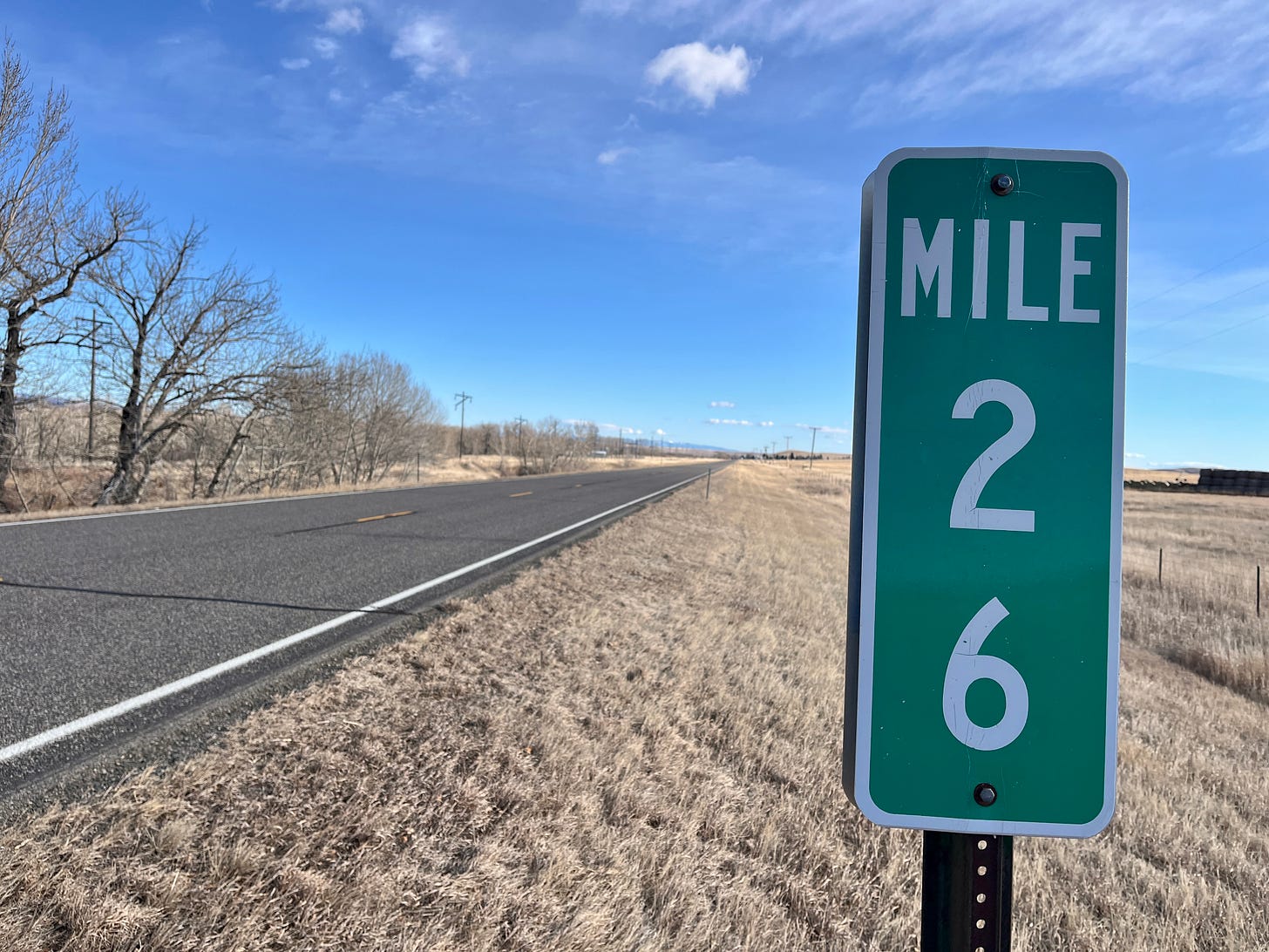
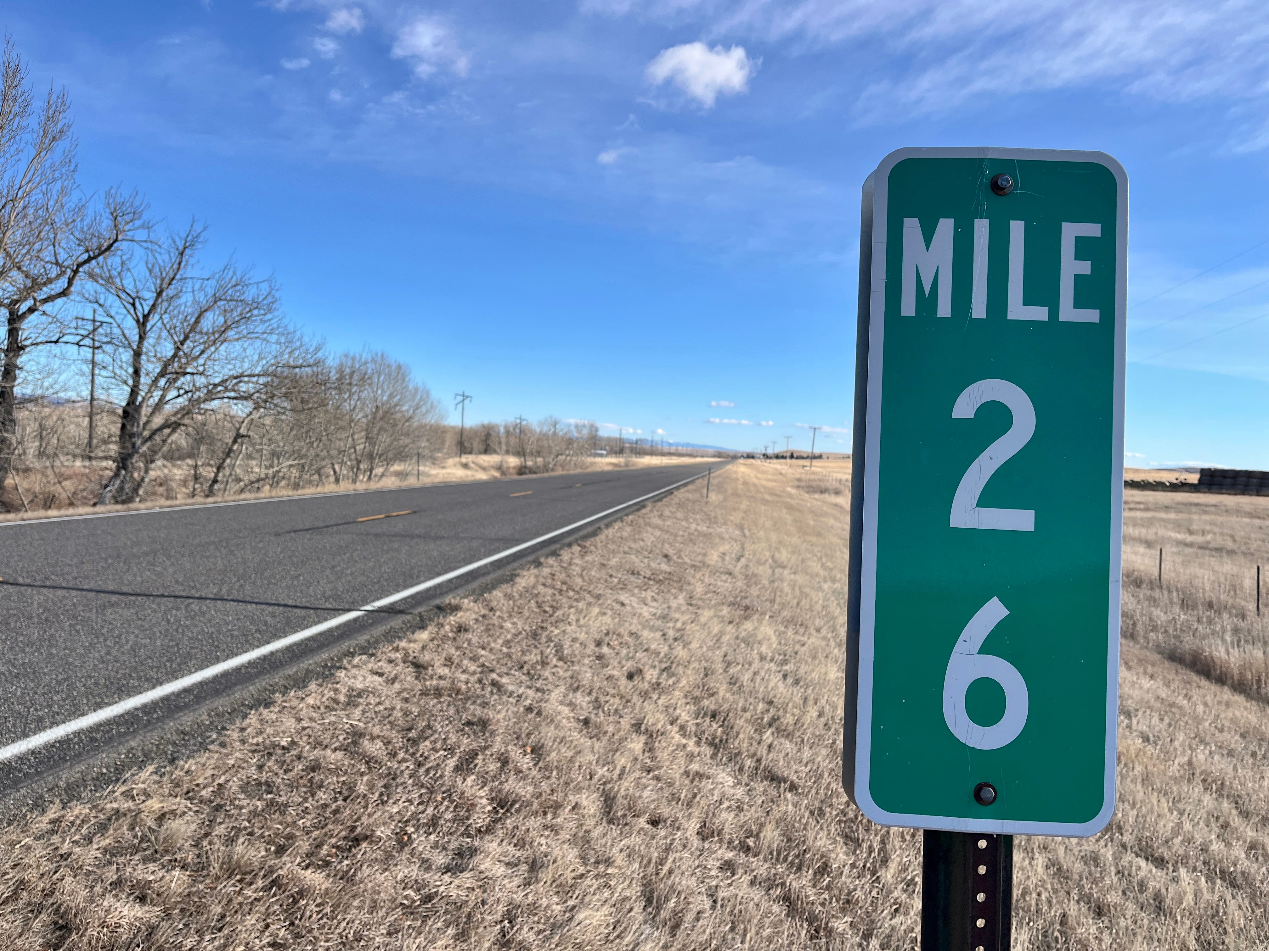
For this effort I planned a trip from my home near Helena, Montana to Miles City, Montana using only a paper map. My primary route for this trip was U.S. Route 12.
We often complain about potholes and taxes, but the diverse and expansive system of interconnecting roads in the US is really quite amazing. The first big efforts to create such a system came in the late 1930s to put more people to work in the wake of the Great Depression. Then in the 1950s, president Dwight D. Eisenhower initiated the National System of Interstate and Defense Highways. While that national system was a vast improvement to create what we now know as interstates, this aided in the decline of many towns across the country that previously relied on the slower paced travel through their downtowns.
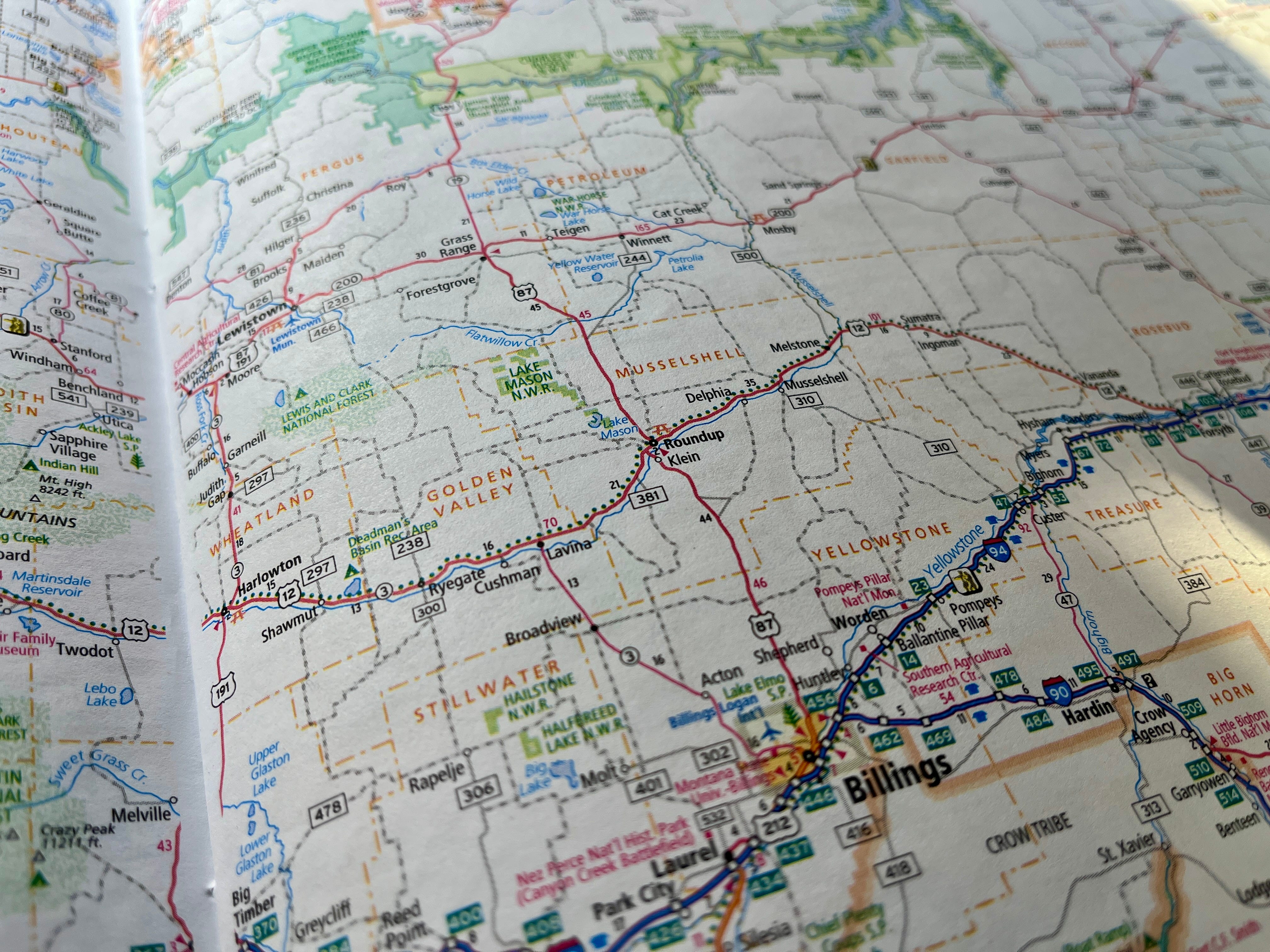
U.S. 12 runs nearly 2,500 miles from Detroit, Michigan, to Aberdeen, Washington. 598 miles of that traverses Montana. From my basement bookcase I found my 2016 copy of Rand McNally’s Road Atlas (available at most gas stations worth a darn). Flipping through the pages of state maps I found Montana. Along the border of the pages in road atlases are all sorts of useful information including facts and figures about the state and a helpful matrix of mileage calculations between major cities based generally on the fastest route. For my route it indicated approximately 388 miles. However, taking the more direct route on US 12 is about 40 miles shorter.
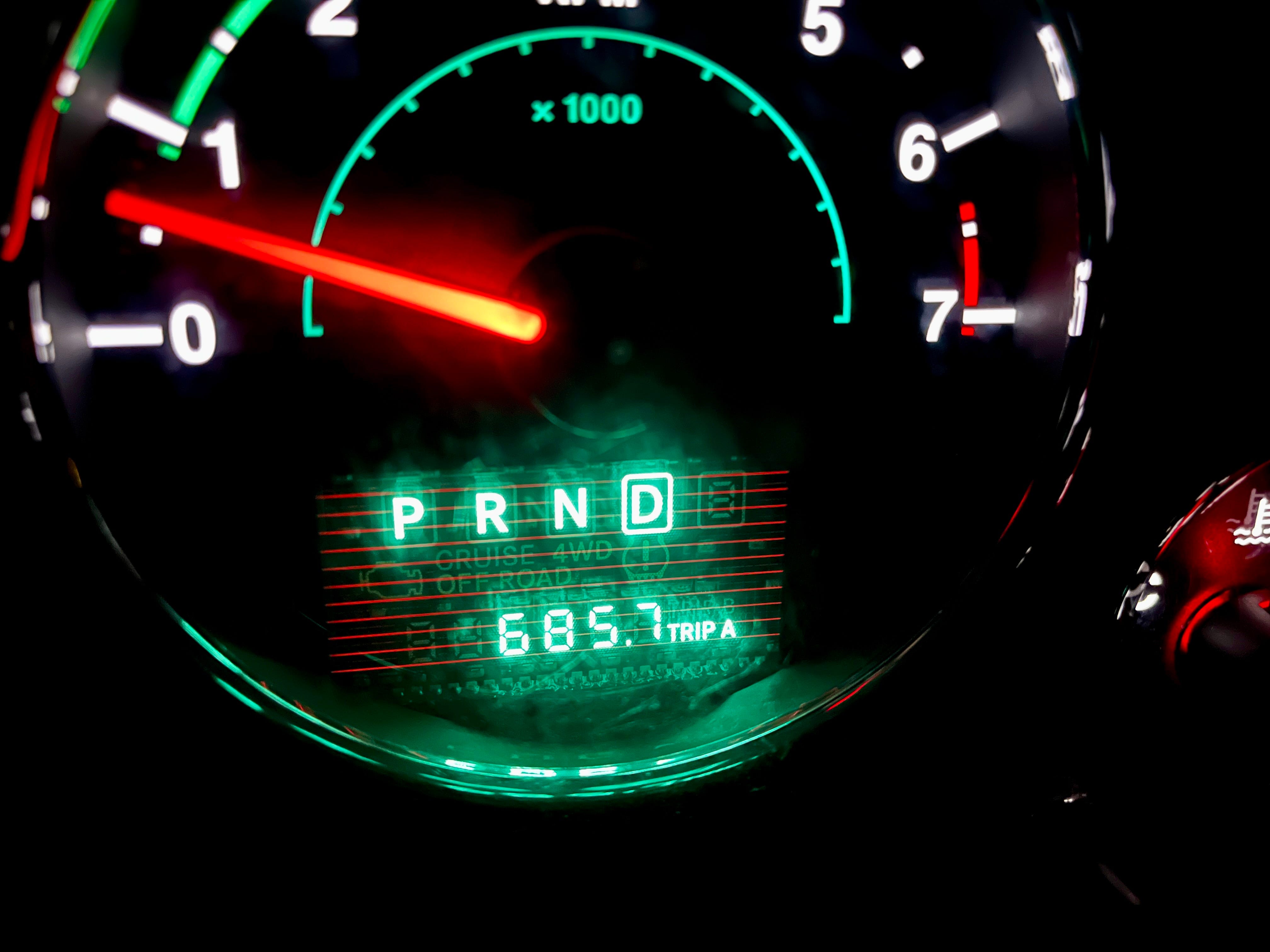
I left at 9:30 a.m. on a clear, windy Saturday morning, embarking on what would become a grueling single-day round trip.
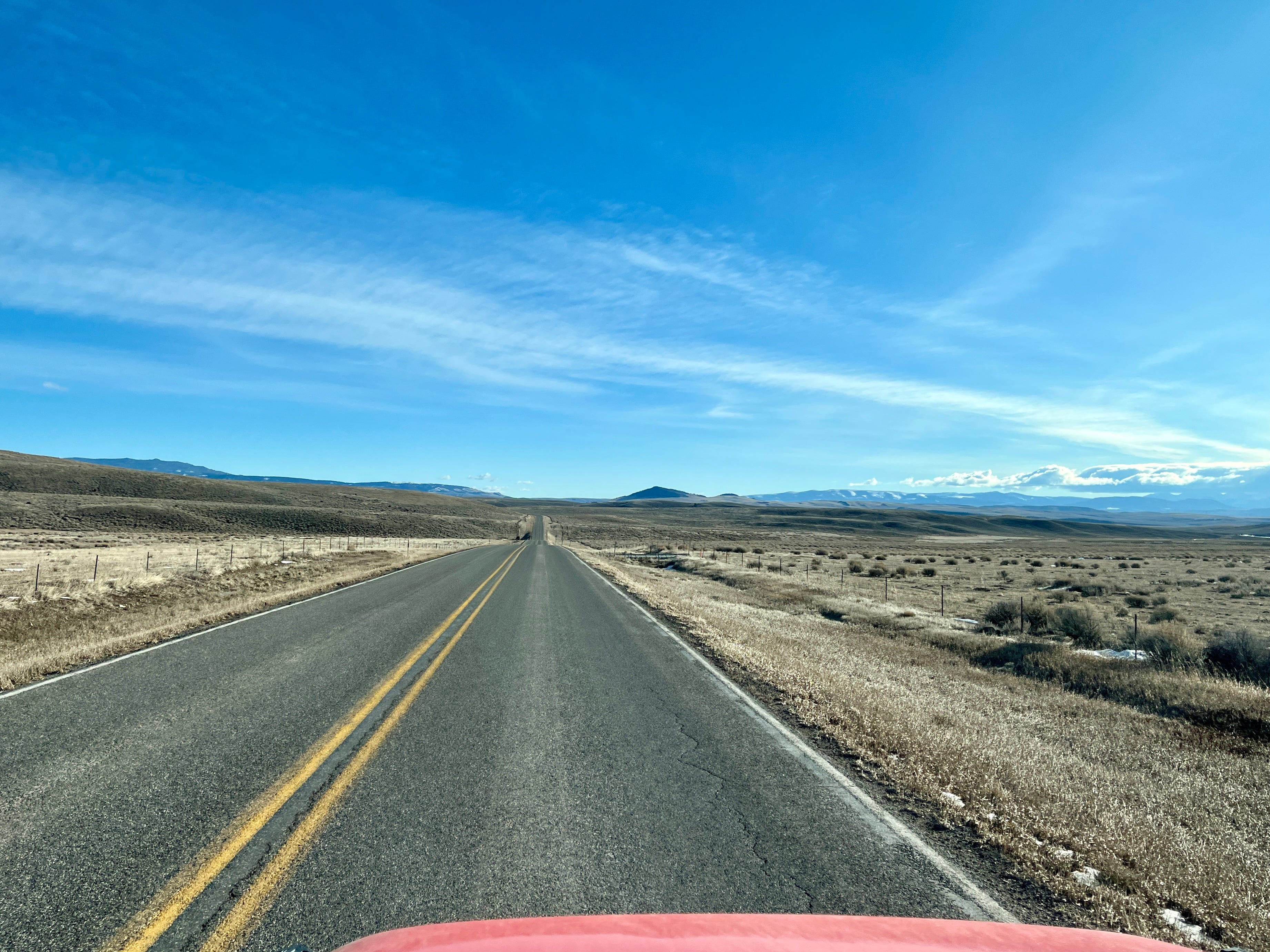
Traveling east I passed through several of Montana’s fifty-six counties including Broadwater, Meager, Wheatland, Golden Valley, Musselshell, and Rosebud. After turning east in Townsend, MT, I crossed the Big Belt mountains and the landscape spilled onto an expansive high prairie. To shorten the route, I followed US 89 south briefly before cutting east on Montana Route 294, skirting the Castle Mountains and the headwaters of the Musselshell River until rejoining US 12 east of White Sulphur Springs.
With that in mind I needed to pay attention to my gas mileage and distance between towns that should have gas available. It was a clear blue sky day but particularly windy. A favorable wind though, gusting out of the west and provided me with an economically advantageous tail wind. Referring back to the road atlas I looked closer at my route. Conveniently, on the map it indicates the number of miles between cities in black, and the total mileage between major highway intersections in red. In theory I could make it all the way to Forsyth on a tank of gas, but I was traveling on a lesser used route so it is a good idea not to push one’s luck in case of a flat tire or unexpected weather.
After two hours of driving I stopped in Harlowton, Montana (population of about 1,000 people) to top off my gas tank, and fill up on coffee. As the wind pushed me east I passed through the much smaller towns of Shawmut, Ryegate, and Cushman. Along the way I noticed the remnants of an abandoned rail line and that made me wonder what life was like back when trains were running through this part of Montana. The train operated from around 1909 until 1980. The tracks were all removed but the track roadbed is still visible as well as some tressels over creeks and rivers. In most of those towns old grain silos still stand next to the absent rail line as echoes to a time gone by in the agricultural focused country.

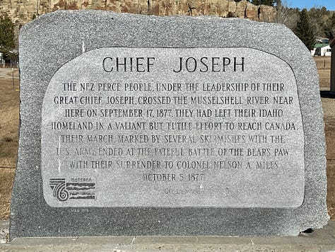
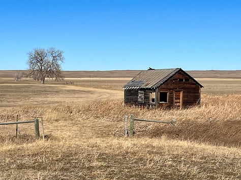
As I passed Lavina, Montana, where Route 3 leads most travelers south towards Billings, I had some reservation if this was still a good idea. Continuing forward would be the first time I had traveled this stretch of US 12, so in that sense of exploration I pedaled down as I weaved along the Musselshell River valley.
After passing through Roundup, Montana (population of around 1,900 people) the route tracked more northeast and through even smaller towns of Delphia, and Musselshell. In the last recognizable town of Melstone, an older gentleman tending to things at his service station gave me a friendly wave as I passed through. That just gave me another realization that they really do not see a lot of traffic rolling through their town. A short distance (relatively) later I passed over the half frozen Musselshell River for the last time and the road turned southeast to point towards Forsyth. Getting through the last 60 miles of this stretch of US 12 was the most trying.
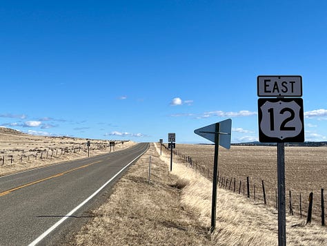

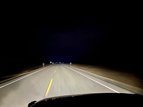
With less traffic comes less need to keep things maintained. The road progressively got more, shall I say, spirited. The road pitched, bucked, and bumped me along. This was not helped by the fact that I was driving a lifted Jeep that already requires the driver to kind of suggest where the vehicle goes. During one hour of driving I only saw three other vehicles. Cell service faded to barely a single bar and stayed there.
Once over the Yellowstone River I merged onto I-94 to complete the last 40 miles to Miles City. That last stretch of interstate travel just felt so… boring. Long straight stretches of “perfect” roadway. I did not necessarily miss the last portion of my US 12 travel but I did miss the more connected feeling you get on a two-lane highway.
I prefer alternate routes and less-traveled roads. I already knew Montana was big and sparsely populated, but this drive put that reality front and center.
My road atlas. No batteries. No updates. No service plan. No signal required.
A true road trip should be about the journey—unhurried, ideally shared, with time to stop and explore. This trip was rushed. I made brief stops for photos and historical markers, but I would have preferred to linger.
This Tangent wasn’t entirely planned. Midweek work travel took me to Miles City. Then, four hours into my drive home on Friday, I received the text:
“Hey, is this your backpack still at the office?”
I considered cursing myself—briefly. Turning around wasn’t an option. The company car had to be returned, and I needed the contents of that bag by Monday. The solution was obvious and painful: another round trip.
In four days, I made two full round trips to Miles City, logging roughly 1,500 miles. The second one was purposely enjoyed. So, for better or worse, this week’s Tangent is brought to you by distraction, forgetfulness, and an unexpected reminder that sometimes the long way around becomes the lesson.
If you haven’t unfolded a real map in a while, try planning your next drive with one. Even if you don’t follow it perfectly, you may notice more than you expect.
Until next time,
~ Allen
No posts
Comments
Nothing yet. Say the first thing.
Sign in to join the conversation.