
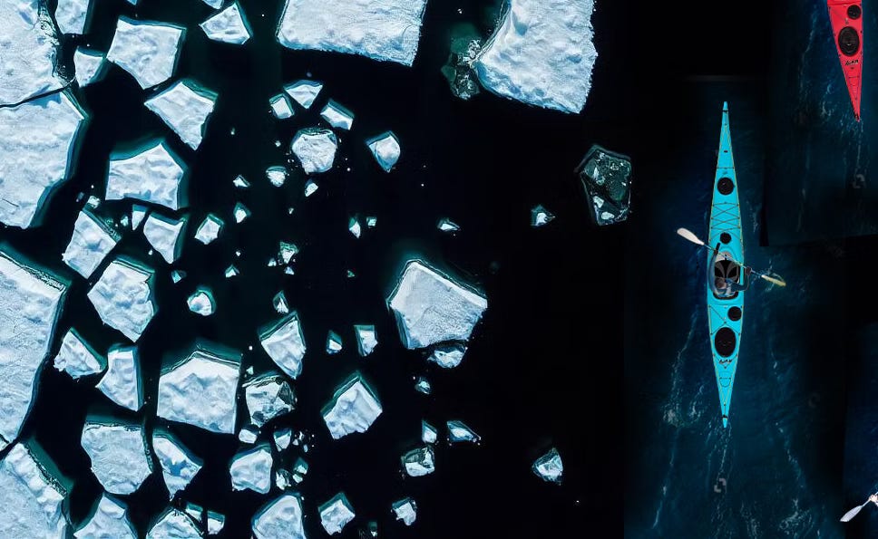
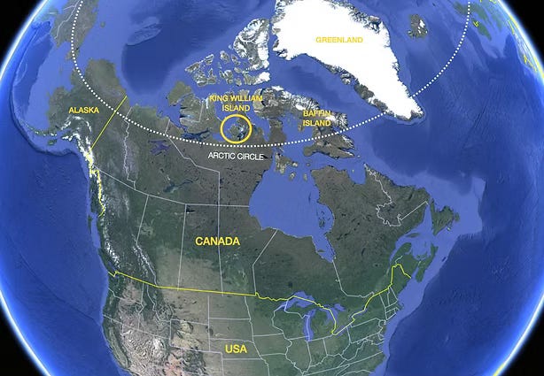
Next month, a Canadian team will attempt to kayak around the coastline of King William Island in the Canadian Arctic. The island is the focal point of one of the Arctic’s most enduring mysteries: the lost British Naval Northwest Passage Expedition of 1845.
Veteran adventurer Kevin Vallely, 61, will lead the four-member kayak team, which will start and finish in Gjoa Haven, a small Inuit hamlet on the southeast coast of King William Island. The team aims to complete the journey in 30 days.
”We’re estimating 700–800km, though the real number depends on how close to shore, the wind and ice force us to travel,” Vallely told At the Edge of the Map.
The team, which also includes ultra-athlete Nicky Hastings, search-and-rescue operator Julie Van De Valk and adventurer Ken Stanick, expects to walk a short section of the shoreline in the island’s northeast, using portable wheels to transport their kayaks over land.
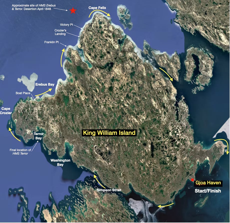
”This is where the perennial ice flow from the north pushes right down on top of the island and it’s almost always choked with ice,” said Vallely. “It’s the same ice that sealed Franklin’s fate, and it’s still there.”
There are no known modern records of either a land team or a kayak team completing a circumnavigation of King William Island, although Vallely is careful not to frame the expedition as a record attempt.
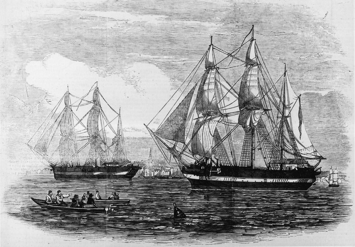
In May 1845, the British Naval Northwest Passage Expedition, led by Sir John Franklin, set sail from southern England aboard two ships, HMS Erebus and HMS Terror. The expedition aimed to discover a navigable route through the Northwest Passage, linking the Atlantic and Pacific oceans via the Canadian Arctic Archipelago.
More than a year later, in September 1846, both ships became trapped in sea ice off the northwestern coast of King William Island. They remained icebound for over a year. Franklin died on 11 June 1847 while the vessels were still trapped. By April 1848, the surviving crew had abandoned the ships and attempted to march south across the island towards the Canadian mainland.
The island is a flat, polar desert and, aside from herds of caribou, offers few natural resources for survival. Most of the 134 men are believed to have died while attempting to cross King William Island. Of the estimated 30–40 men who may have reached the Canadian mainland, none is thought to have survived long enough to reach a settlement.
The many expeditions that have searched King William Island since the 19th century have uncovered archaeological evidence that has shed light on the expedition’s final days, including human remains, artefacts and the Victory Point Note.
Found in a cairn on the island, the note remains the only known written record from the expedition. It details the abandonment of the ships and records Franklin’s death.
In September 2014, the wreck of HMS Erebus was discovered in the waters south of King William Island, near the Adelaide Peninsula. Two years later, in September 2016, HMS Terror was found in well-preserved condition in Terror Bay on the island’s southwestern coast.
Vallely has long been fascinated by the fate of Franklin’s men and has combined the kayak expedition with a parallel overland journey involving a team of five experts.
Travelling across King William Island by quad bike, they will follow Inuit oral histories, historical records and clues in the landscape in an effort to build a deeper understanding of the fate of Franklin’s men.
”I first traveled to King William Island in 2007, when the late Inuit knowledge keeper Louie Kamookak showed me a skull and bones, he had little doubt belonged to Franklin's crew,” explained Vallely.
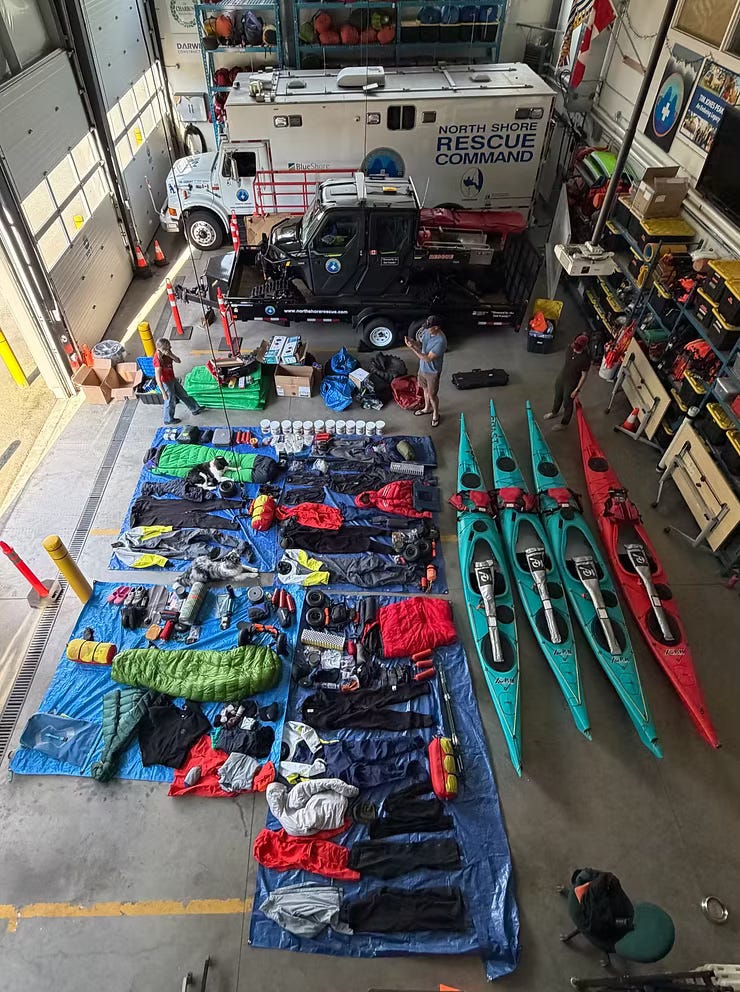
“The two journeys have really morphed into one, with a singular purpose: exploring a rarely traveled landscape and reflecting on what happened out there,” he added.The land team is led by respected amateur historian Tom Gross, who has spent more than 30 years searching for Franklin’s final resting place. He will be joined by his daughter, Pam Gross, the former Deputy Premier of Nunavut, and Jacob Keanik, an Inuit knowledge-holder.
“Tom has been going up there for decades and knows the island, from a Franklin point of view like no one else. It's an honour to travel with him,” Vallely told At the Edge of the Map.
“The kayaks let us reach islets that land teams can’t, and I think those islets could hold clues. I have a penchant for dragging sleds, and I know first hand how much easier the going is on sea ice than on land,” explained Vallely.
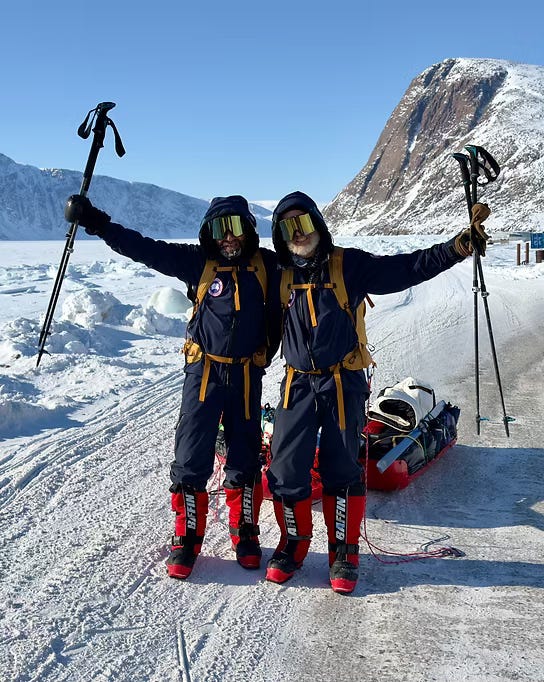
Vallely did however stress that the team are not archaeologists and will hand over any discoveries. “If we find anything, we photograph it, geolocate it, and hand it off to the people who know what they’re doing.”
”Franklin’s men would have traveled the ice when they could, and they’d have passed right by those islets. Who knows what’s there. We have a unique opportunity to look.”
“It’s still very raw up there,” he said. “It remains a mystery on many levels.”
With a decade of experience in adventure journalism, Ash Routen delivers insightful, evidence-based reporting on adventure, expeditions, and exploration. A paid subscription directly supports this independent reporting.
No posts
Comments
Nothing yet. Say the first thing.
Sign in to join the conversation.