
Google recently launched the "Satellite Embedding Dataset" - produced by their new AI foundation model. It is a big leap in making remote sensing and climate datasets useful and enabling novel use cases. I collaborated with the Google DeepMind and Earth Engine teams to develop official learning content for the dataset and happy to announce that they are now available in the Google Earth Engine User Guide. You can work through each tutorial from the links below:
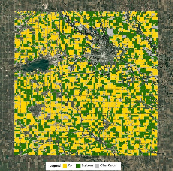

Want to use new exciting AI-powered datasets like Satellite Embedding? Join the september cohort of our instructor-led End-to-End Google Earth Engine class. This is a beginner-friendly 3-week intensive program that covers everything you need to learn to use GEE. You will also earn our globally recognized certification and be eligible for lifetime free technical support.
This will be the last cohort of the year for Earth Engine. Grab one of the last few remaining seats if learning GEE is on your wishlist! Student discounts available!
Exciting news for QGIS users! The Google Earth Engine Plugin for QGIS is now updated with new no-code tools that allow you to download and use Earth Engine datasets in QGIS easily. I worked with the team to develop tutorials to help users use this plugin effectively. Check out my new tutorials:
Downloading Images from Earth Engine: A tutorial showing how to use the Google Earth Engine plugin to create a Sentinel-2 median composite for a region and download it as a GeoTIFF file.
Building a Workflow: A tutorial on using the QGIS Model Designer to build a workflow to download a data layer of Cocoa Probability from the Earth Engine Data Catalog and calculate the percentage of cocoa plantation in a plot boundary.
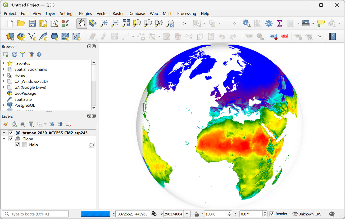
Visualizing Data from Earth Engine: Use the Earth Engine Python API to load a data layer from CMIP6 Climate Projections dataset and visualize it on a globe.
I also contributed the new Installation and Troubleshooting guides in the plugin documentation that will help you configure the plugin correctly.
For PyQGIS developers, the new plugin is a great reference on how to develop dynamic forms in Processing algorithms. If you are curious about it, see the Better QGIS Plugins post by Development Seed.
Luna Geospatial recently made all of their learning content available openly. Check out the newly released tutorials covering QGIS, PostGIS, and Geoserver. Of particular interest will be the tutorials showcasing how to use and manage PostGIS databases from QGIS.
I will be attending the Geo for Good Conference in Singapore from September 8-12 2025. Would love to connect with the geospatial community there. If you will be around during that time, do drop me a note, and I would love to meet up!
No posts
Comments
Nothing yet. Say the first thing.
Sign in to join the conversation.