
I’m writing this while resting after yesterday’s long trek across the city. I completed the Crosstown Trail, starting in Visitacion Valley and finishing at Baker Beach.
You can find the official website here, where you can see the route in detail, or rather, the three different routes you can choose from.
During my walk, I logged around 43,000 steps, although that also includes walking to the Muni station at the beginning and to the bus stop afterward.
The map and trail are fairly easy to follow, so I’ll add a few personal notes, especially for those who might be hiking it alone, as I did.
It is a great way to explore different parts of San Francisco, and because you pass through so many neighborhoods, you get to experience just how diverse the city is. The whole idea of the trail is to keep you moving through parks and green corridors, so keep in mind that a large portion of the route follows dirt paths.
You can also hike only half of the trail and come back another day to finish it. A good stopping point is Glen Canyon Park near Portola Drive, where you can catch a bus. Another option is to end near Forest Hill Station and take the Muni Metro from there.
I didn’t start at Candlestick Point, as the official trail suggests. The area itself is quite pleasant, but it’s more of a weekend destination. During the week there aren’t many people around. The stretch between Candlestick Point and Visitacion Valley is also fairly uninteresting and passes several encampments. Overall, I wouldn’t recommend it for women walking alone.
Instead, I took the T line from Chinatown and got off at Arleta Station. From there, I walked to a nearby café Aroma Buena where I bought my favorite breakfast burrito in the city, egg, bacon, cheese, and spinach. After that, I headed to Mission Blue Café for coffee. The café is beautifully designed and filled with thoughtfully selected items from local artists.
The trail conveniently passes right by it, as there is an entrance to a greenway next to the café that you’ll follow through Visitacion Valley.
Restrooms are available throughout the route in most parks. I recommend using them whenever you have the chance so you don’t accidentally pass one by and forget. The only longer stretch without restrooms is between Glen Canyon Park and Grandview Park.
I actually got a little off track after Glen Canyon Park in this section and ended up hiking up Twin Peaks before returning to the main trail. So be careful here.
Dress in layers. I wore shorts and a t-shirt, but carried a long-sleeve shirt in my backpack. A hat and sunscreen are essential, even through the fog, the sun can still burn your skin.
I also recommend hiking shoes with thick soles and good arch support.
The challenge comes mainly from the distance. The day after, I could barely walk. There are several significant climbs along the way, but if you’re used to walking around San Francisco regularly, they shouldn’t be too difficult.
On one hand, it’s nice to do the trail on a sunny day because everything looks more beautiful. On the other hand, cloudy and foggy weather makes the hike physically easier.
Personally, I’d aim for a cool but sunny day.
I technically started the trail near the café in Visitacion Valley at 9:00 a.m. and arrived at Baker Beach around 7:00 p.m. Along the way, I took several breaks and stopped for lunch at a restaurant in the Sunset - it is called Yoma Cafe and I have known it for a while. It is very affordable, popular among locals, and delicious.
I recommend taking advantage of the shopping and dining options in Glen Park along Diamond Street and in the Sunset District near Irving Street.
After leaving Golden Gate Park, the official trail follows the median greenway along Highway 1. I understand the intention was to keep the route within green spaces, but this section isn’t particularly enjoyable. You’re walking between two very noisy roads, and you may encounter people you would rather avoid.
Instead, after leaving Golden Gate Park, I walked along a side street - 12th Avenue, continued to Lake Street, and then rejoined the trail near Mountain Lake.
The last change I would recommend comes right before Baker Beach.
After walking on a beautiful pedestrian path through the dune and crossing Lincoln Boulevard, the official trail directs you through a wooded area toward the beach near Lobos Creek. The path starts wide but becomes increasingly narrow and somewhat unsettling.
When I walked it, there was a man standing by a tree doing something strange with branches. He made me uncomfortable. Turning around wouldn’t have helped much, so I hurried along the increasingly narrow path until I finally reached the beach, where other people were present.
Instead of taking that trail, I recommend simply walking along the parking area after crossing Lincoln Boulevard and following the roadside path down to the beach.
If you are in a group, I think it is fun to go through that trail though.
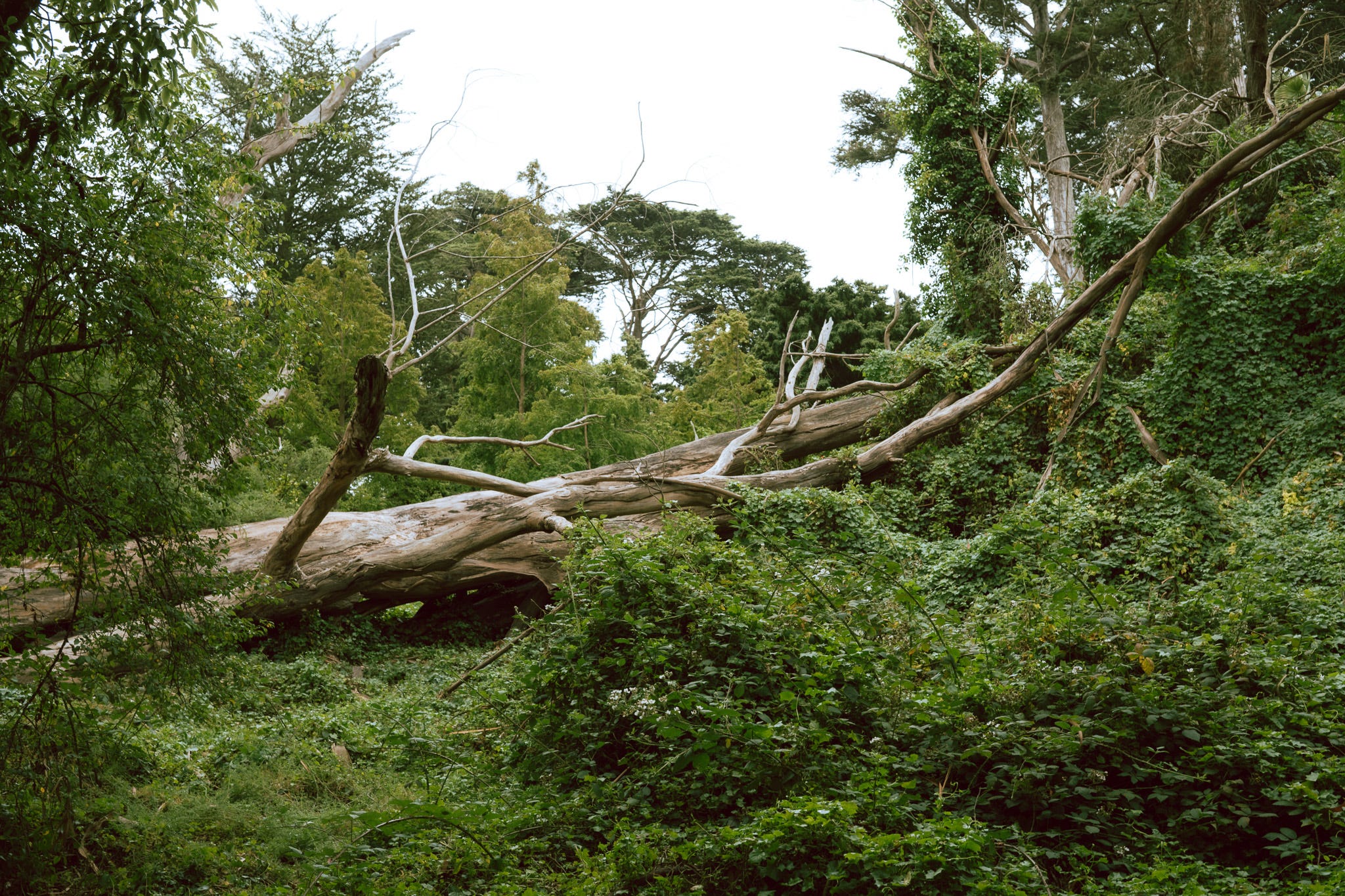
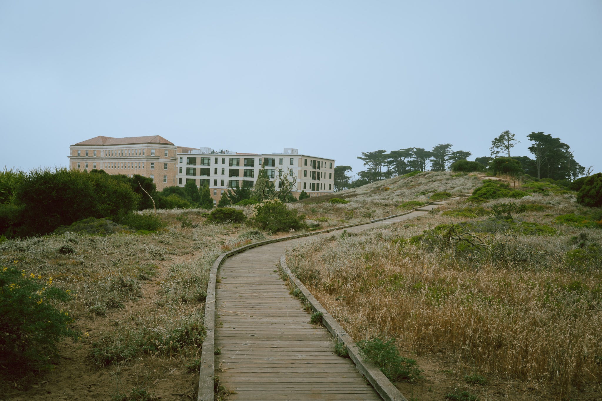
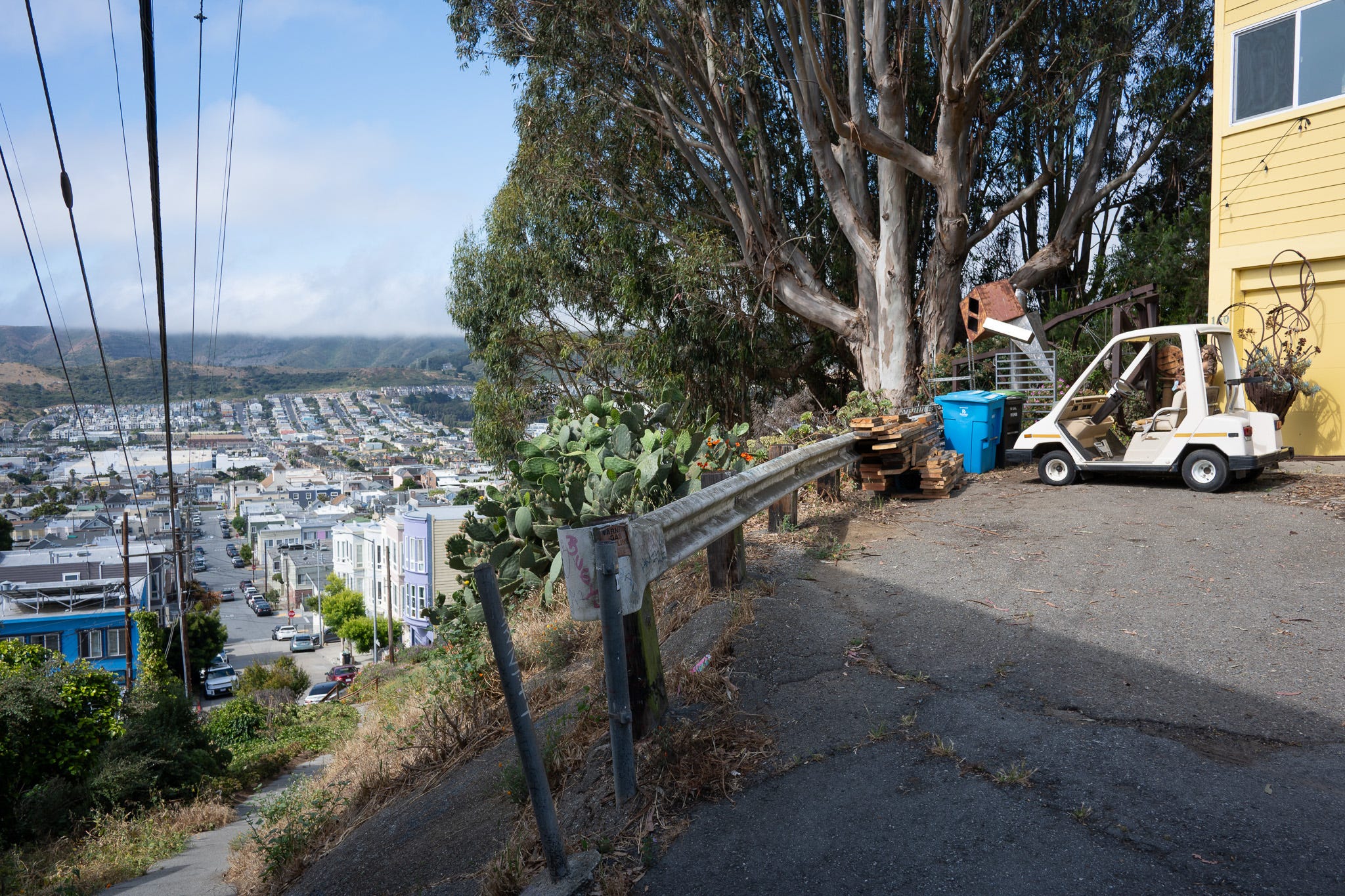
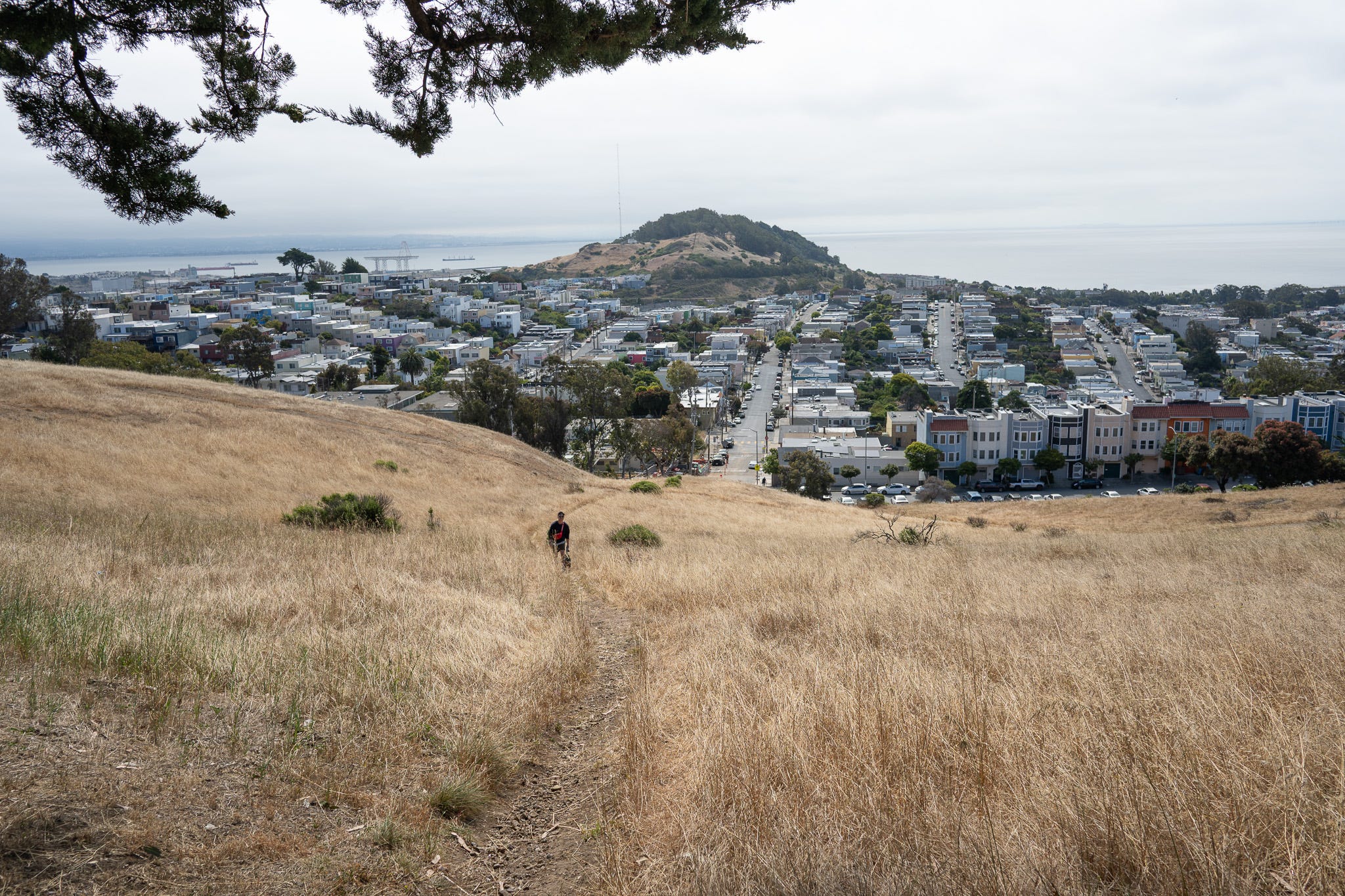
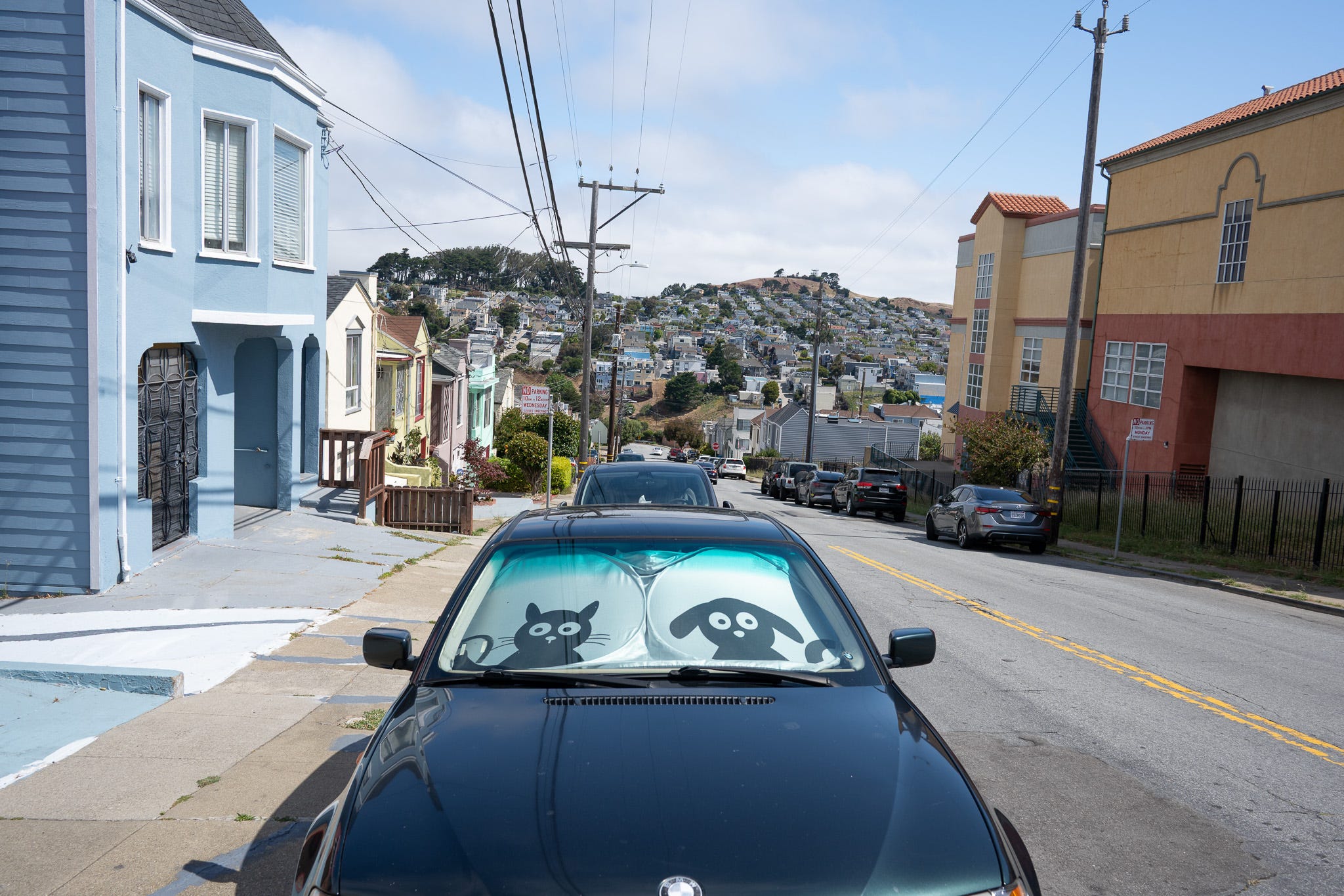
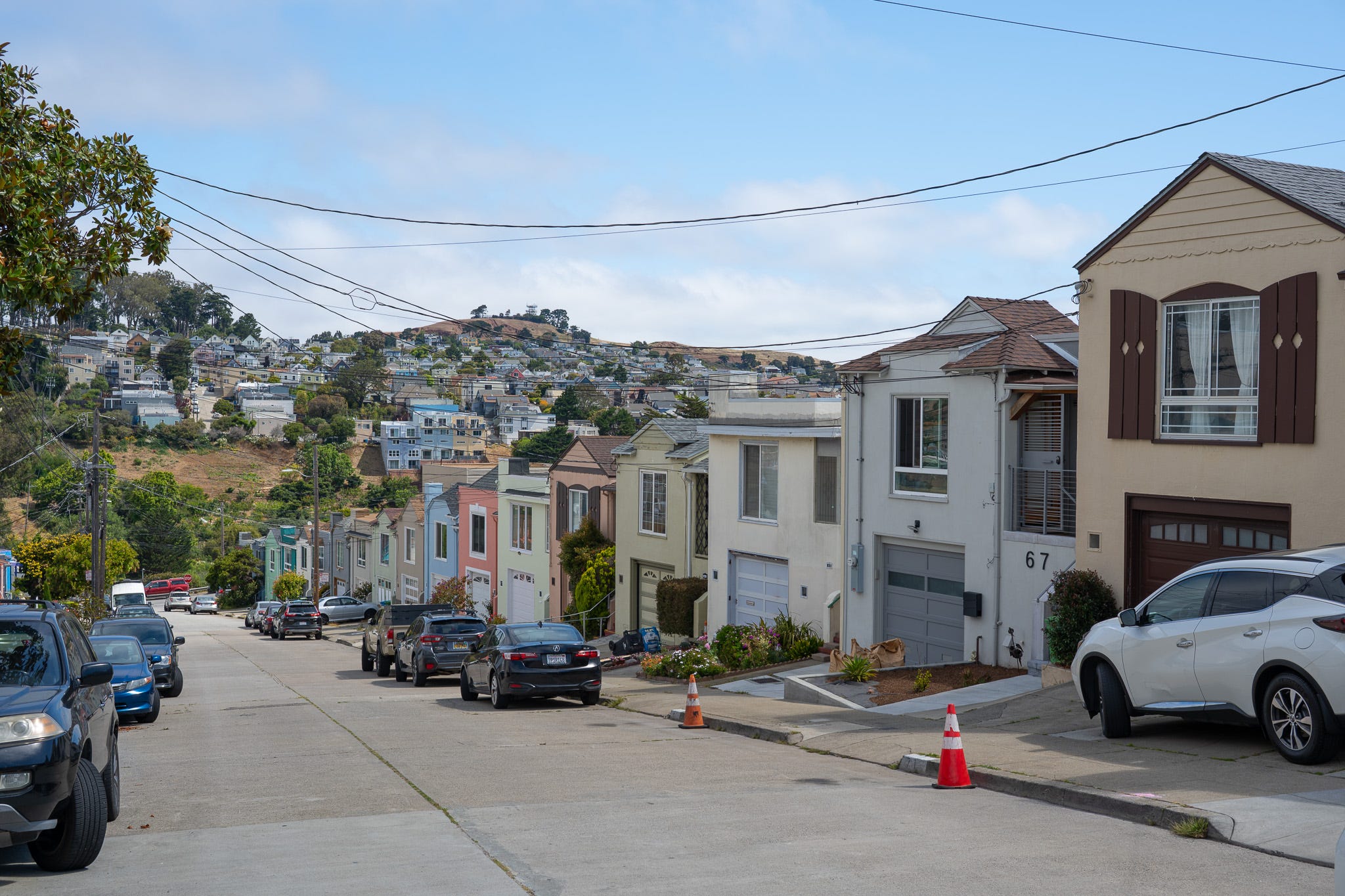
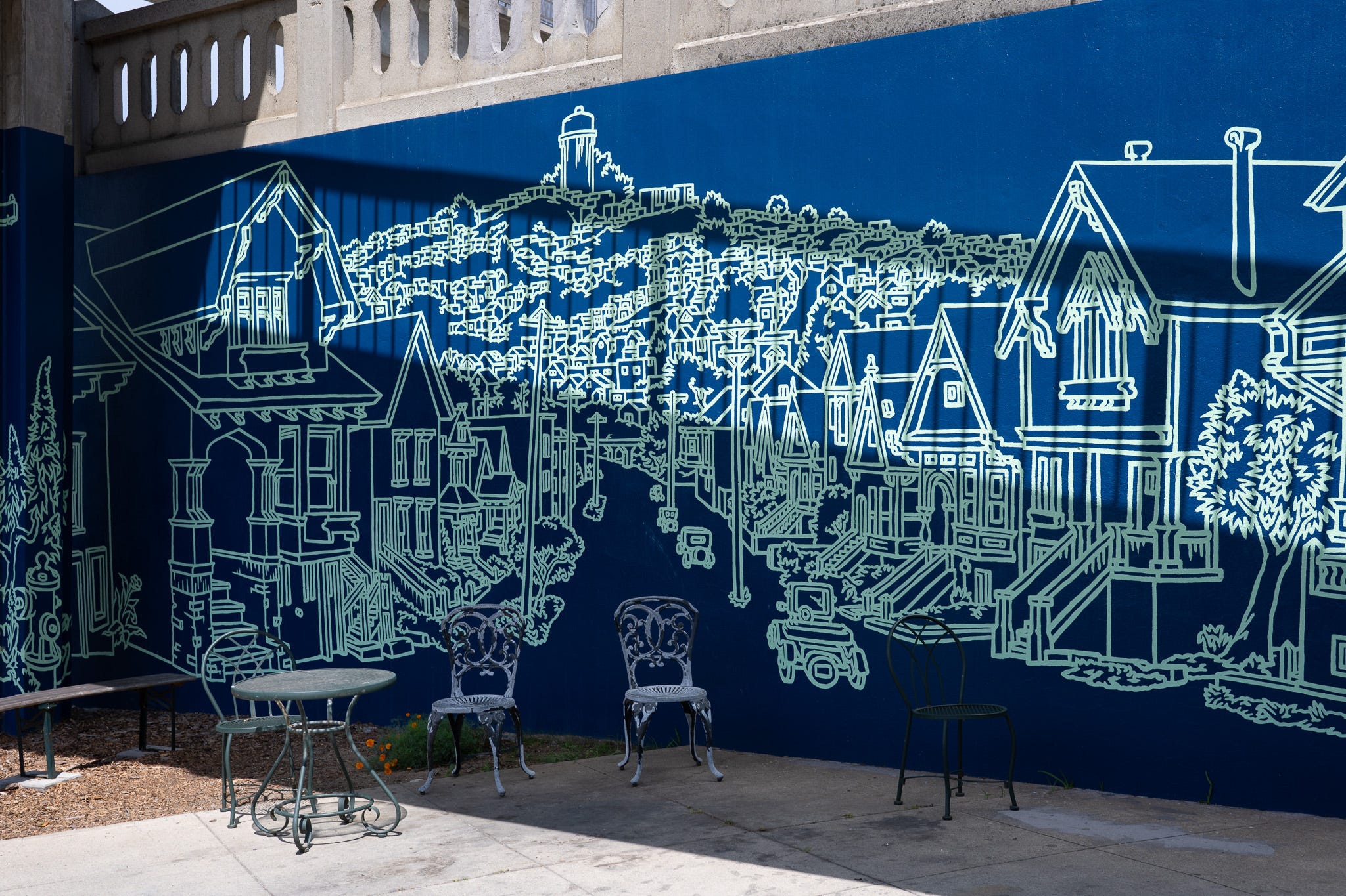
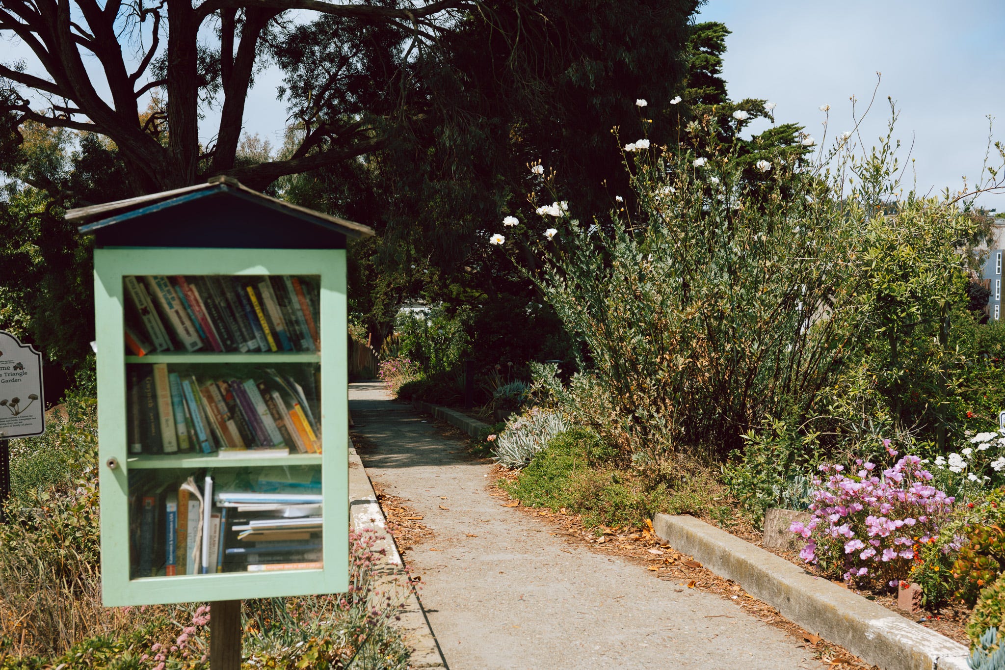
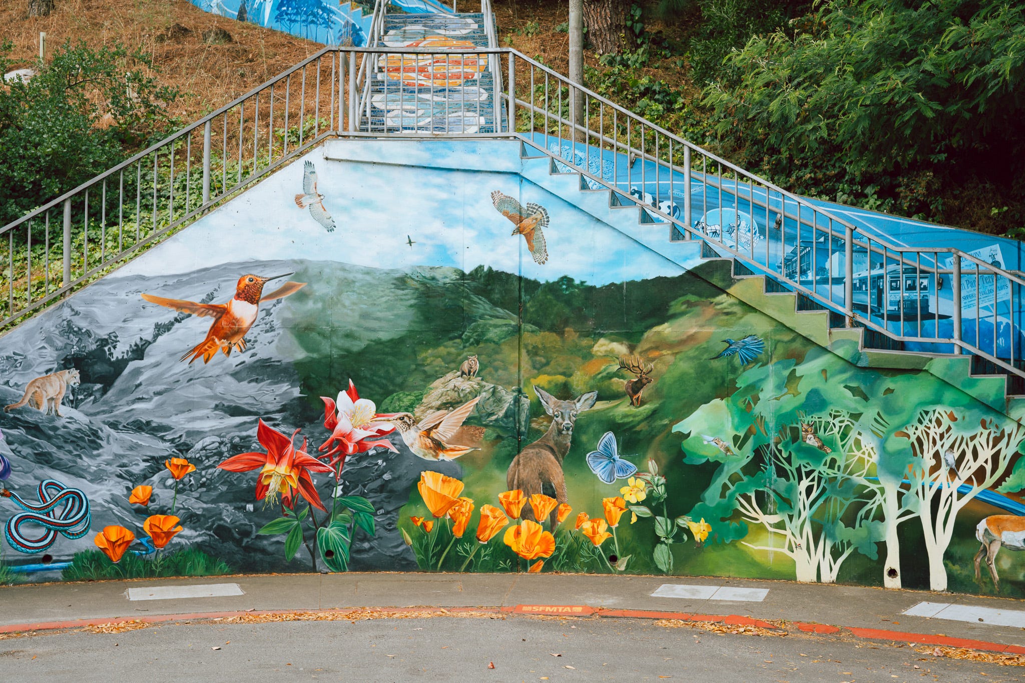
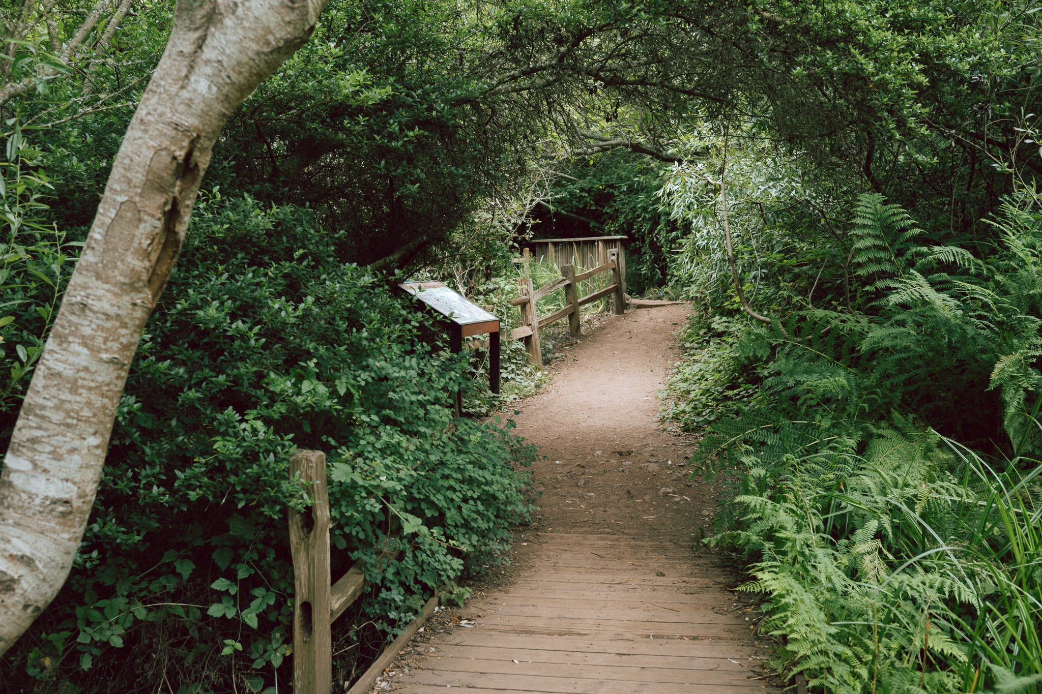
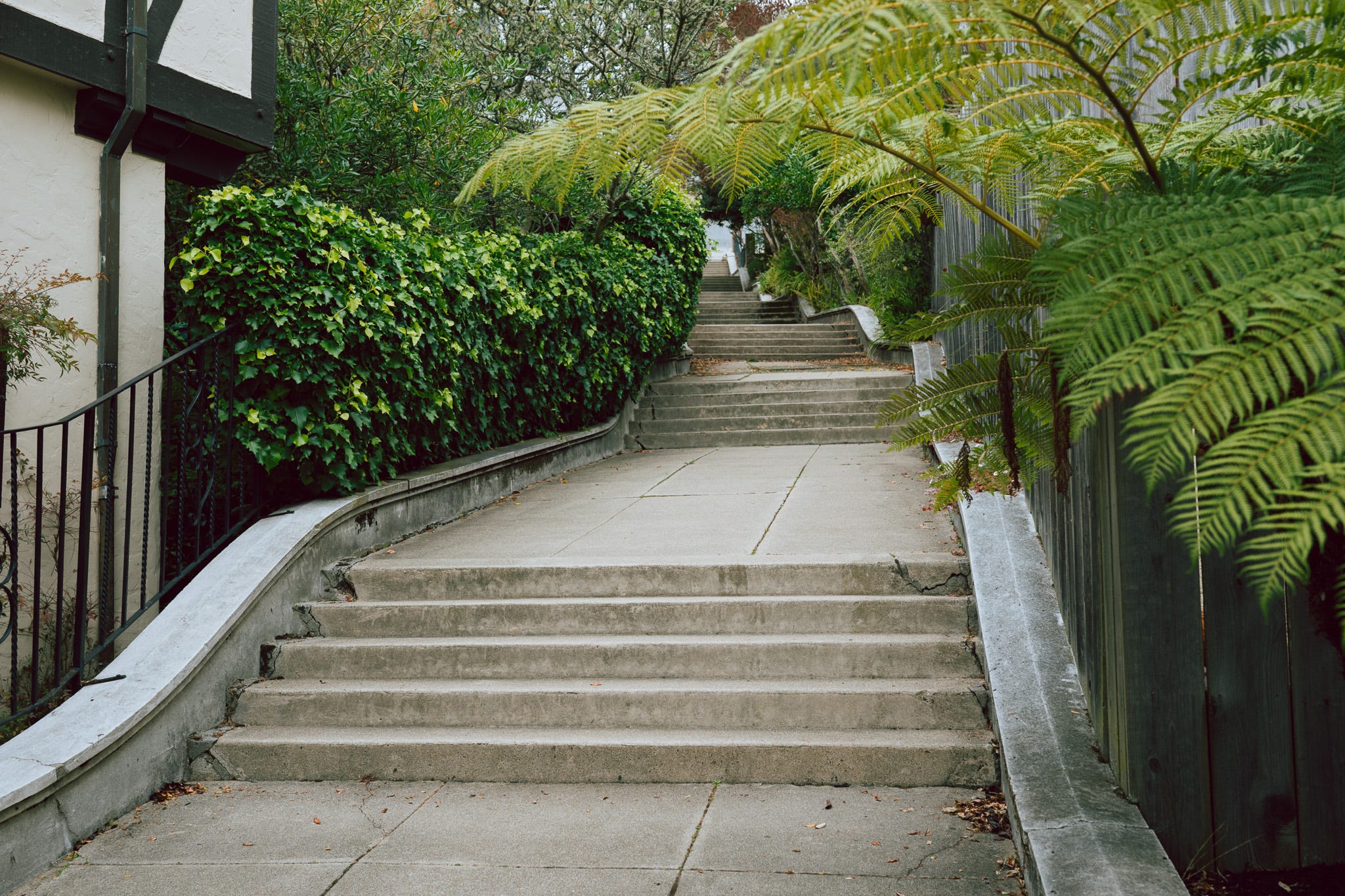
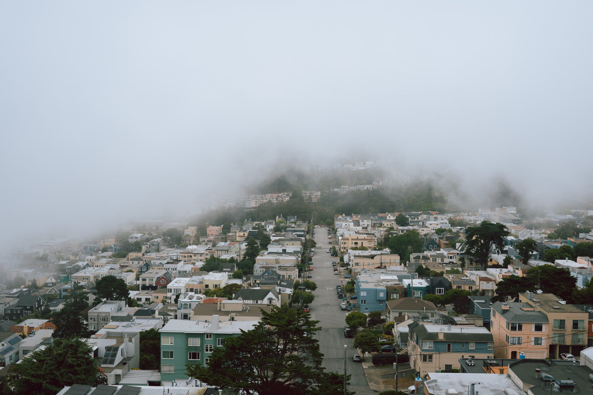
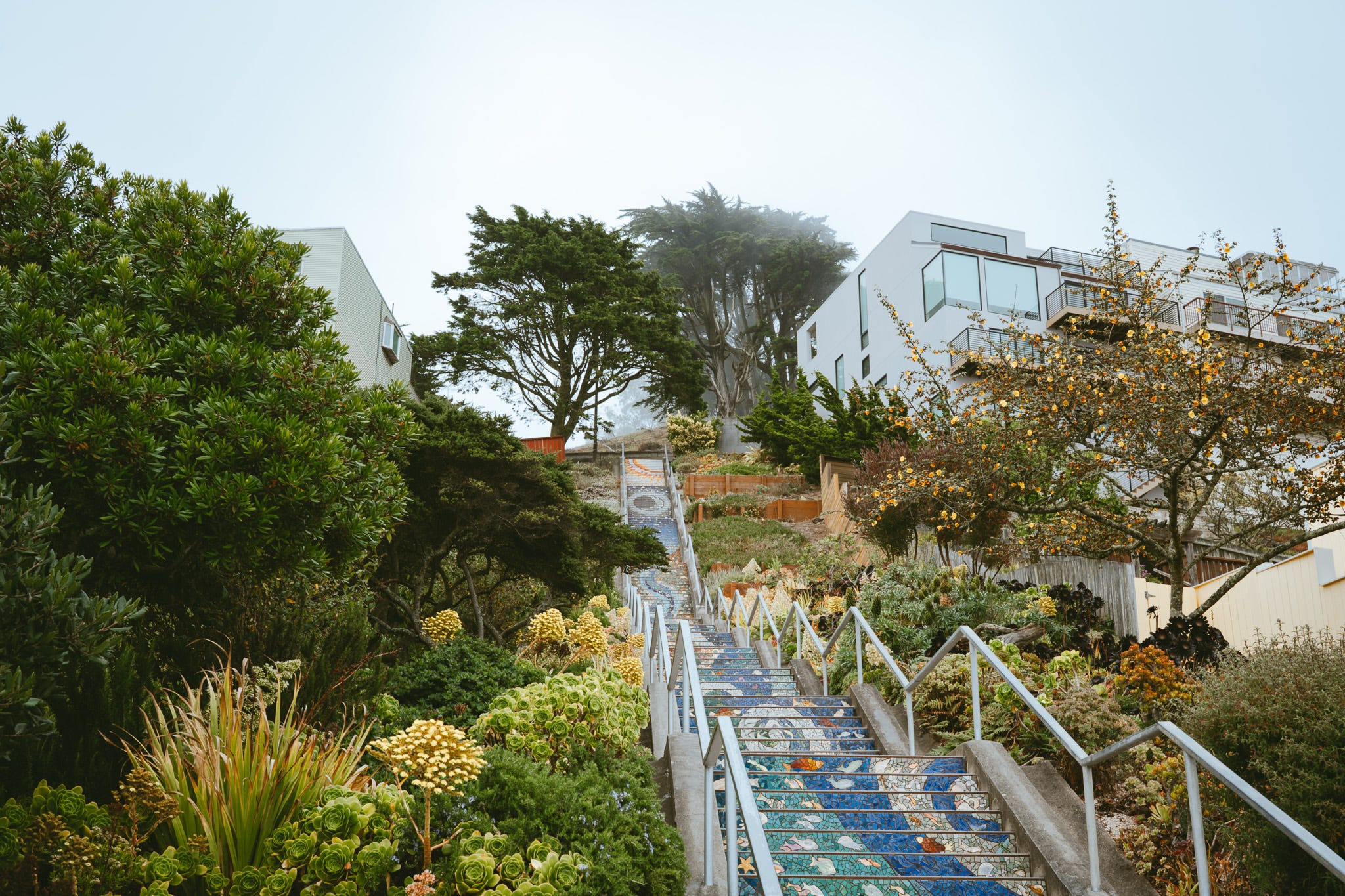
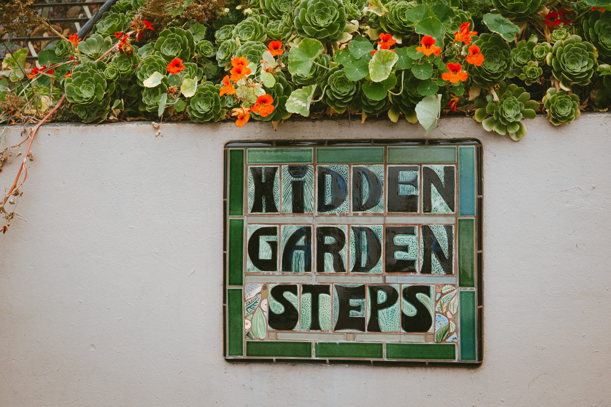
Below are photos from my walk. I won’t label them individually. I think it’s more fun if everyone discovers the locations and details on their own.
If you enjoy my work, you can support me on Buy Me Coffee! I’m a small artist based in San Francisco, capturing the city through photography, and when I’m not behind the camera, I’m a middle school teacher.
Maybe consider upgrading your subscription or visiting my website to order a print or my photo book.
Thanks for reading! This post is public so feel free to share it.
No posts
Comments
Nothing yet. Say the first thing.
Sign in to join the conversation.