RSS de noticias de · Aug 21, 2026
Consulta cómo avanza el fuego, las hectáreas afectadas y el mapa de riesgo
0Sign in to vote or save
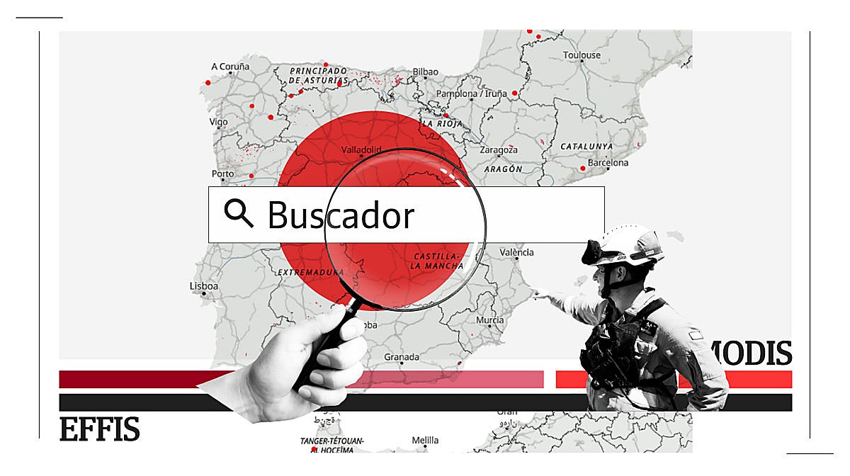
La superficie quemada se acerca a las 300.000 hectáreas, un techo solo superado en 2022 y 2025 durante este siglo

RSS de noticias de · Aug 21, 2026
La superficie quemada se acerca a las 300.000 hectáreas, un techo solo superado en 2022 y 2025 durante este siglo
Comments
Nothing yet. Say the first thing.
Sign in to join the conversation.