
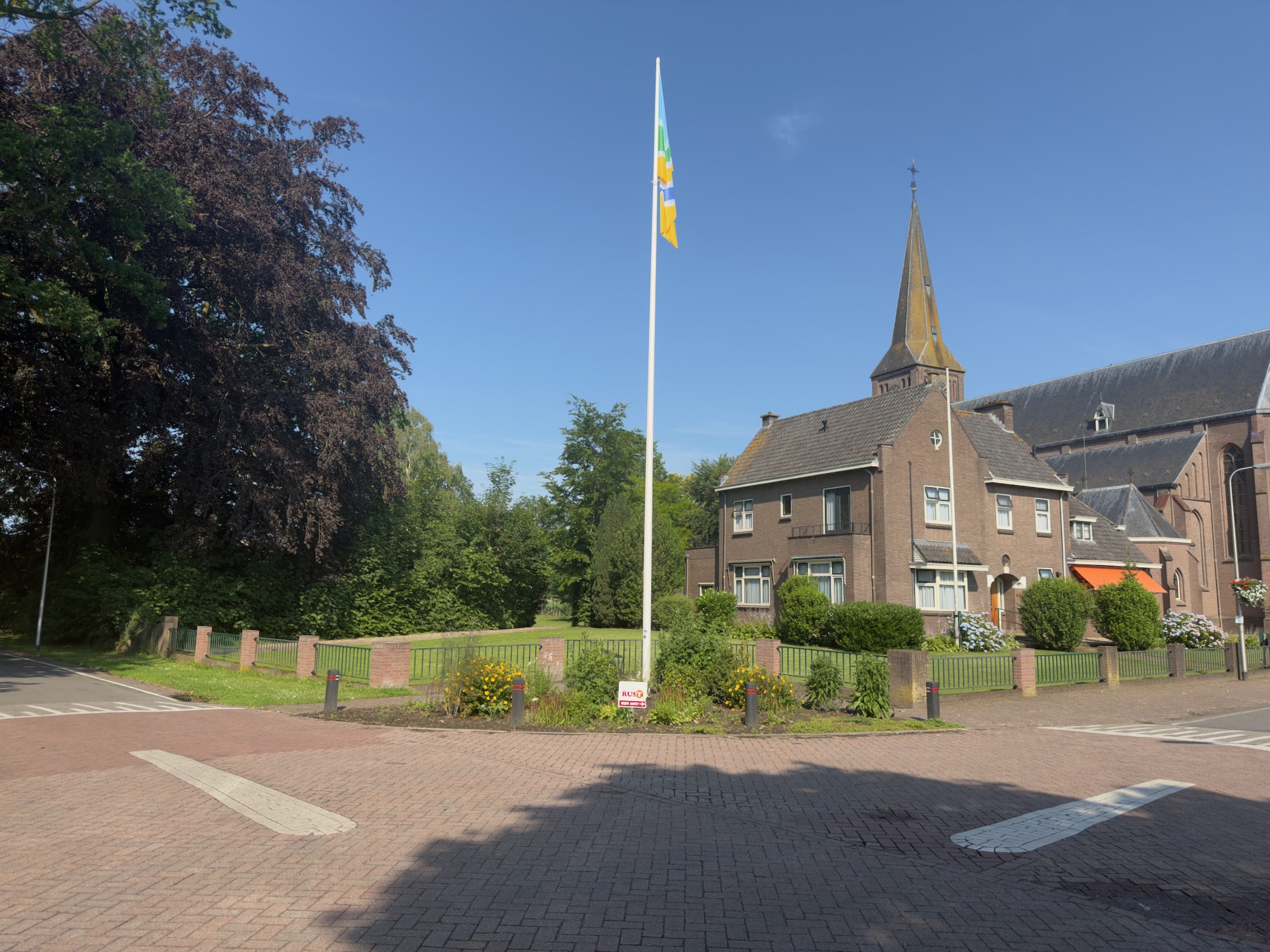
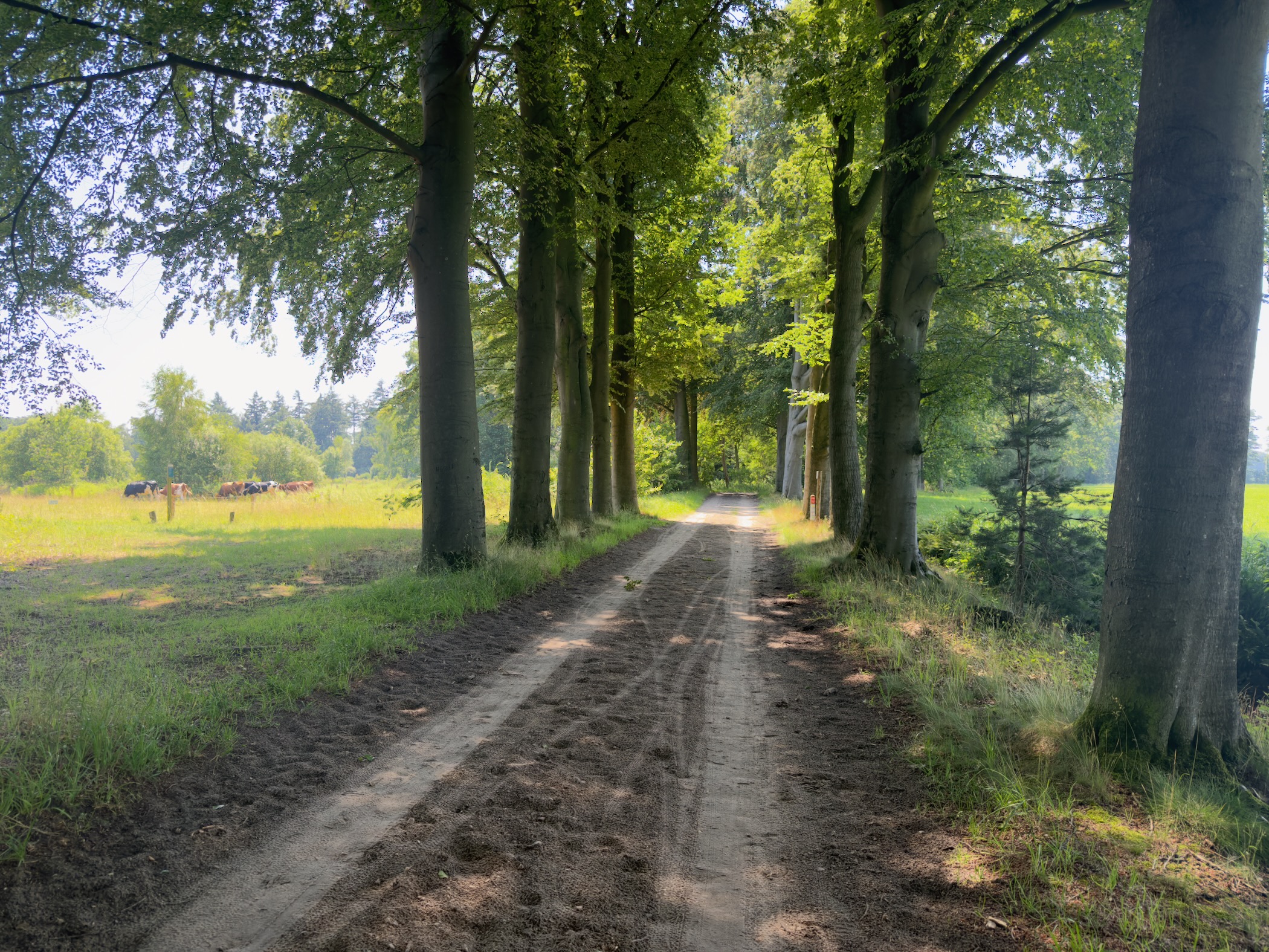
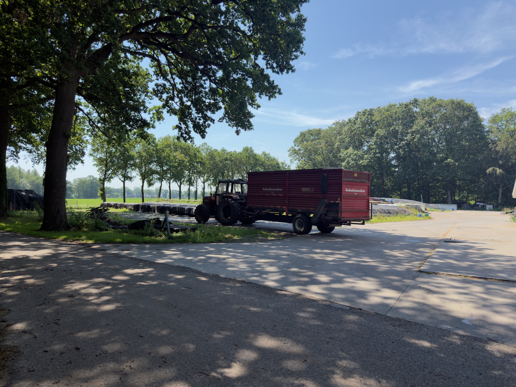
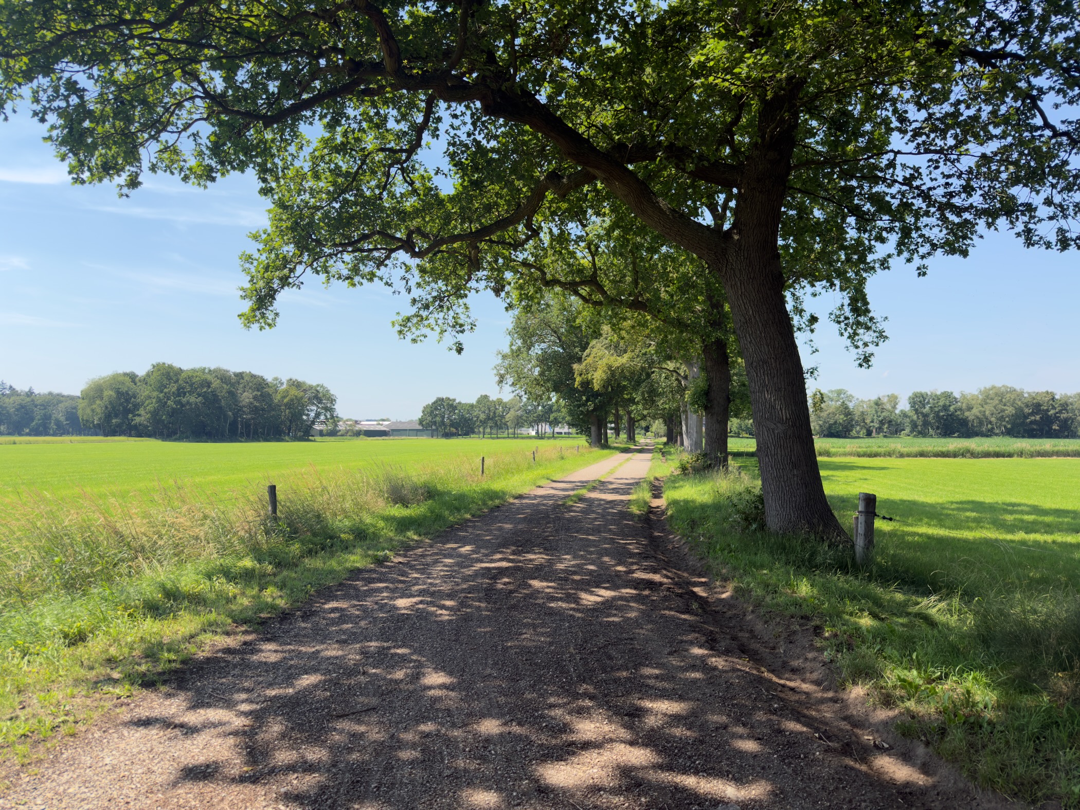
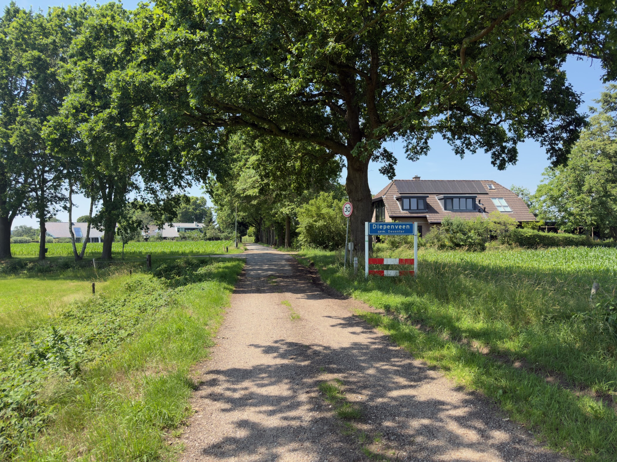
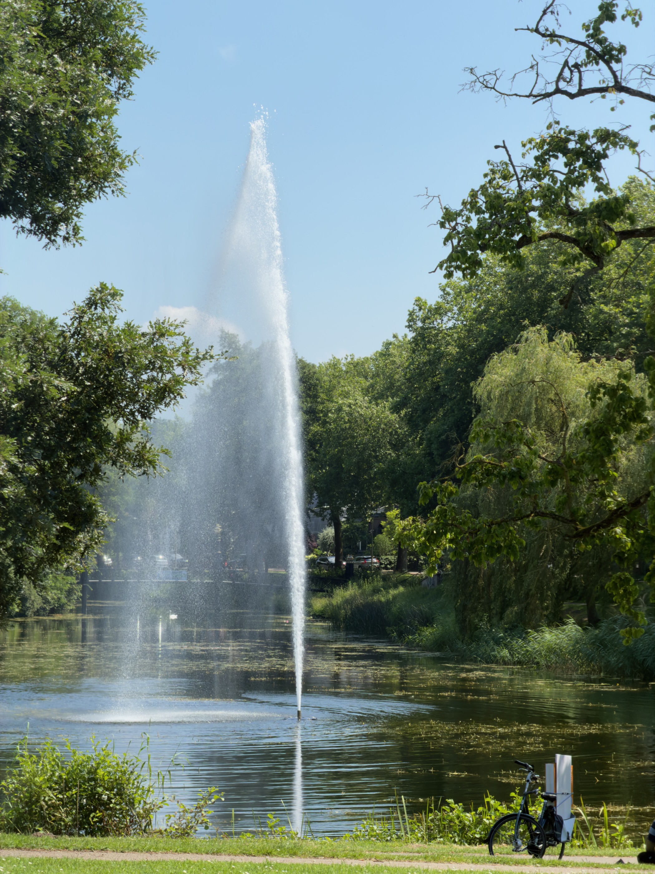
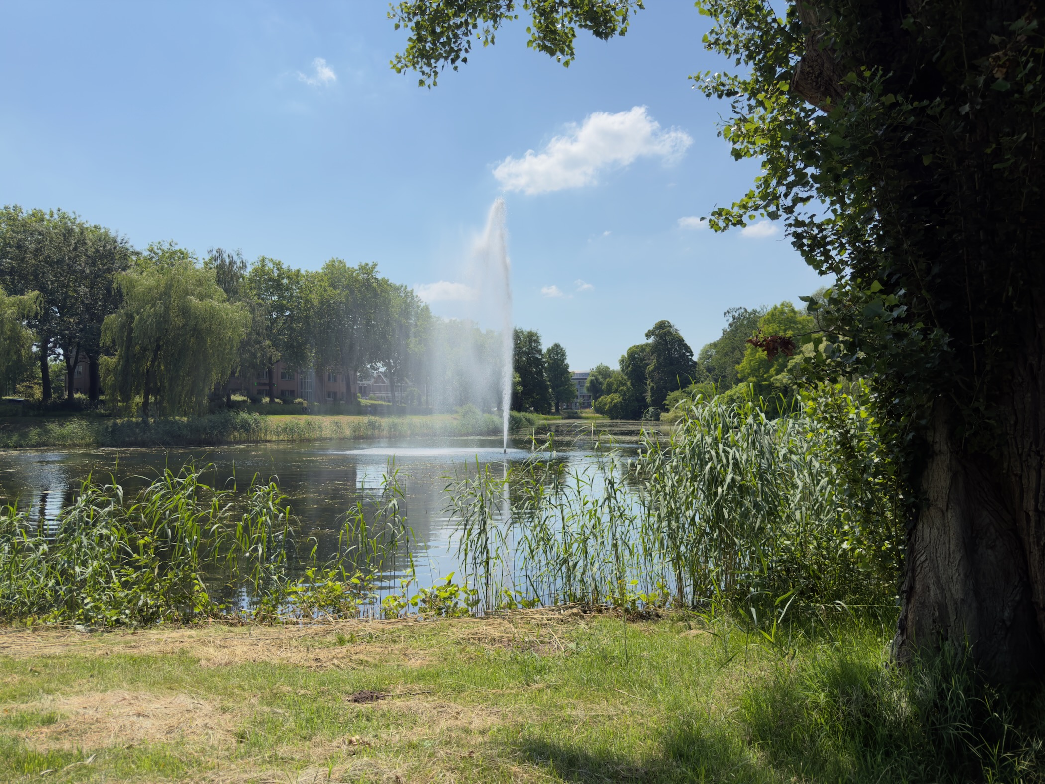
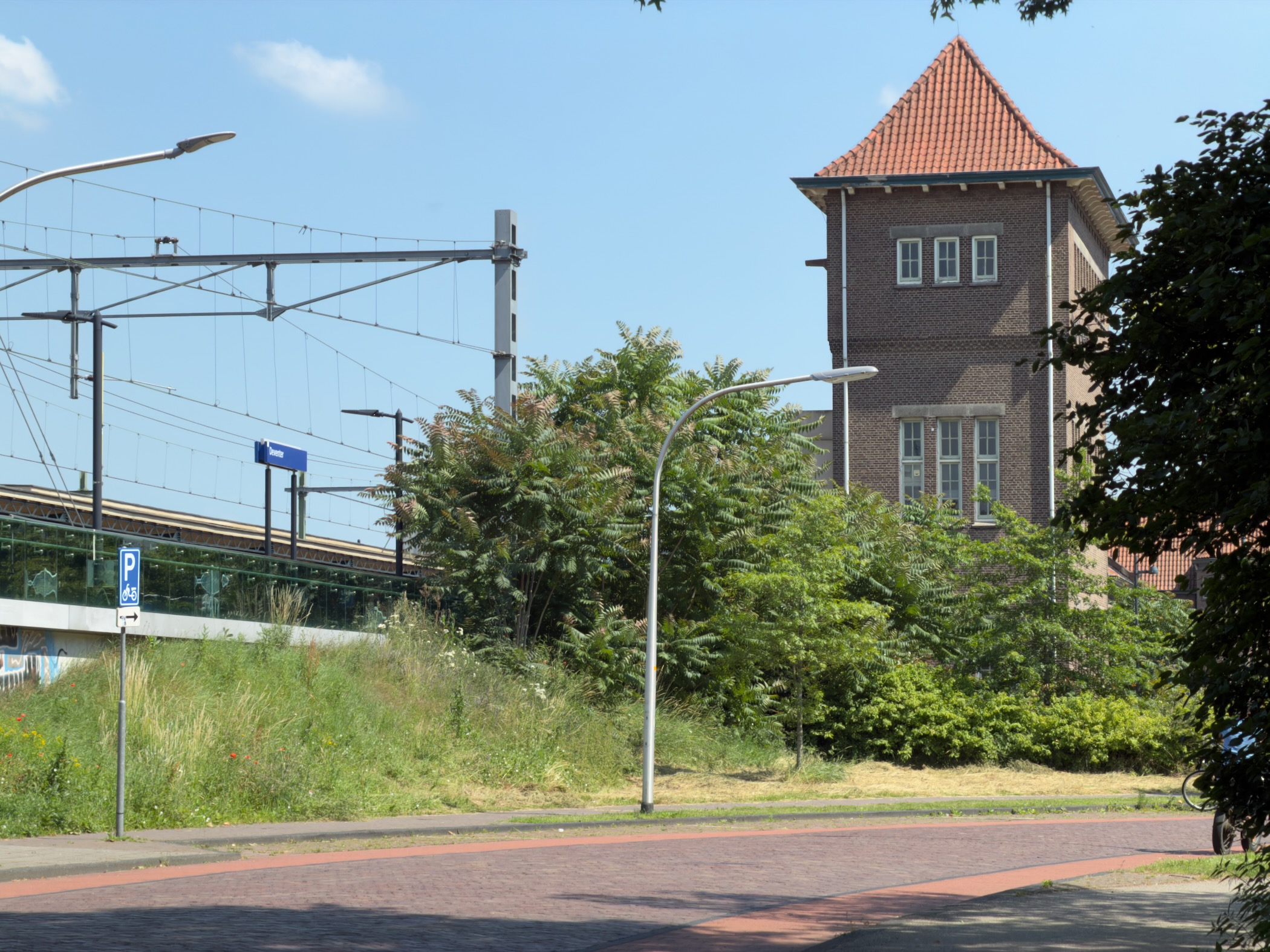
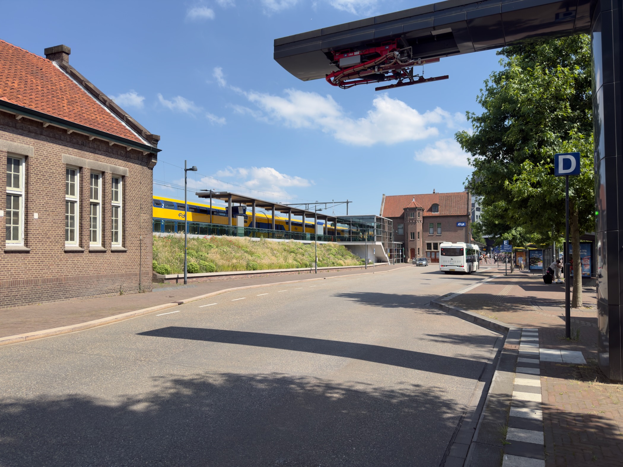
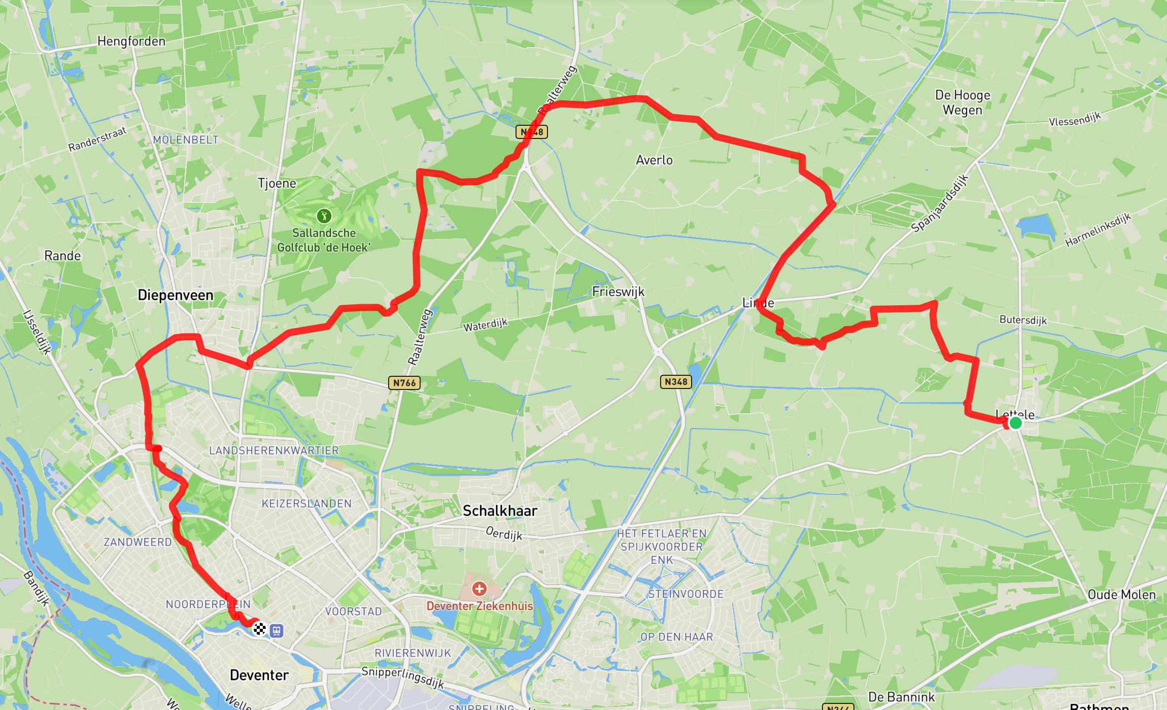
Hiked part 7/20 of the Marskramer Path, 18.9 kilometres from Lettele to Deventer.
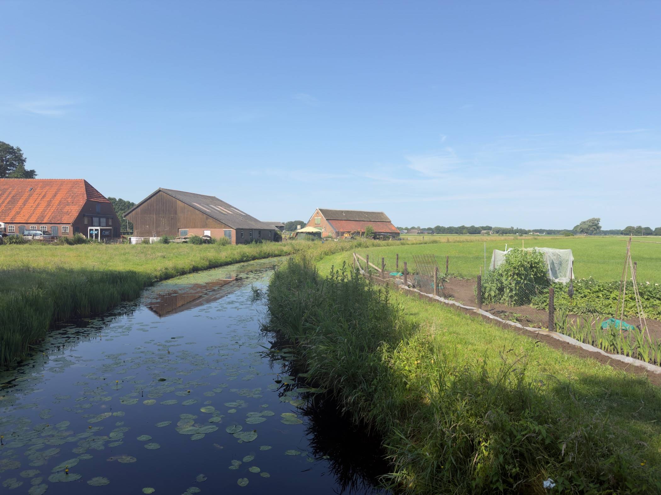
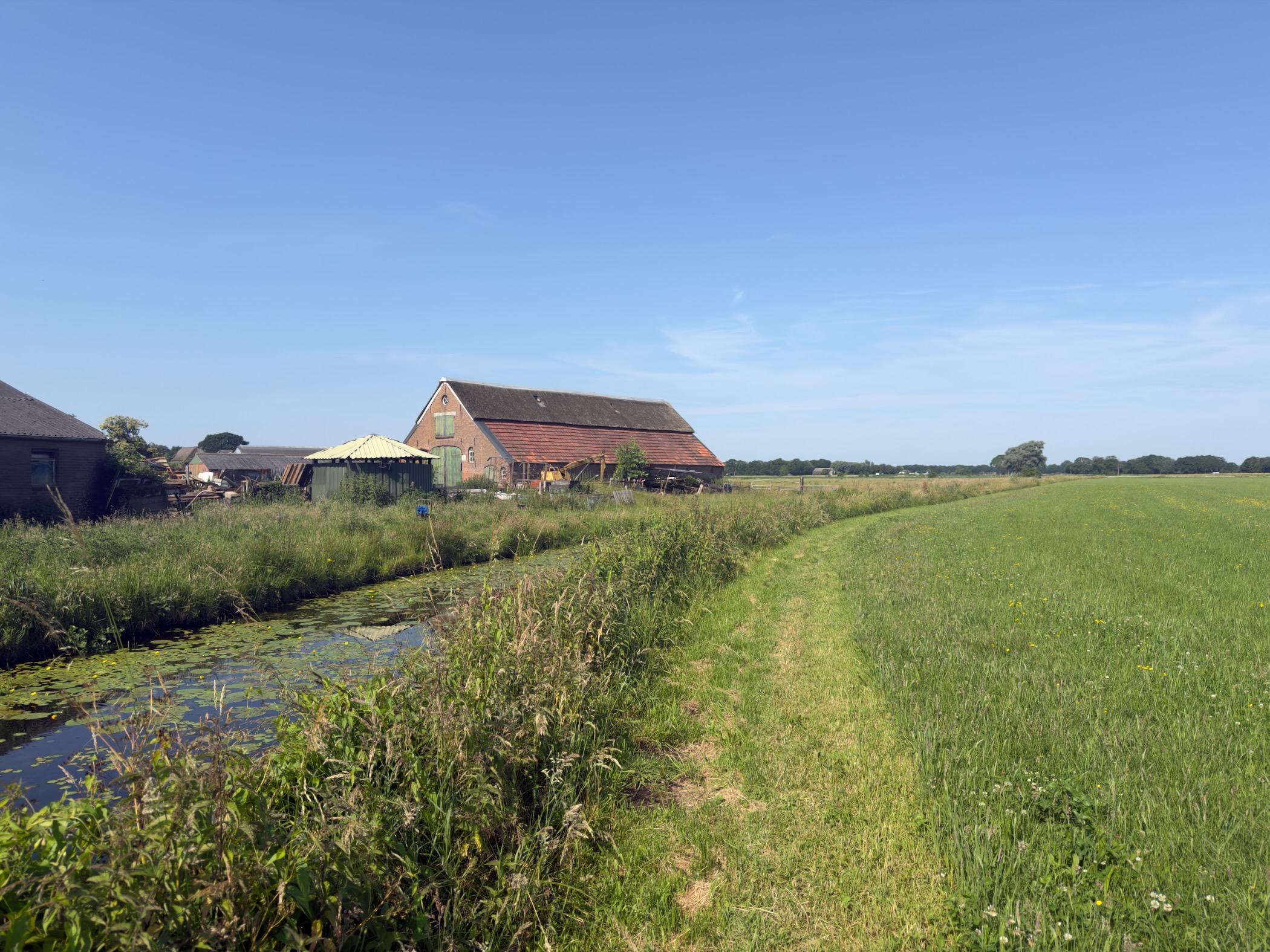
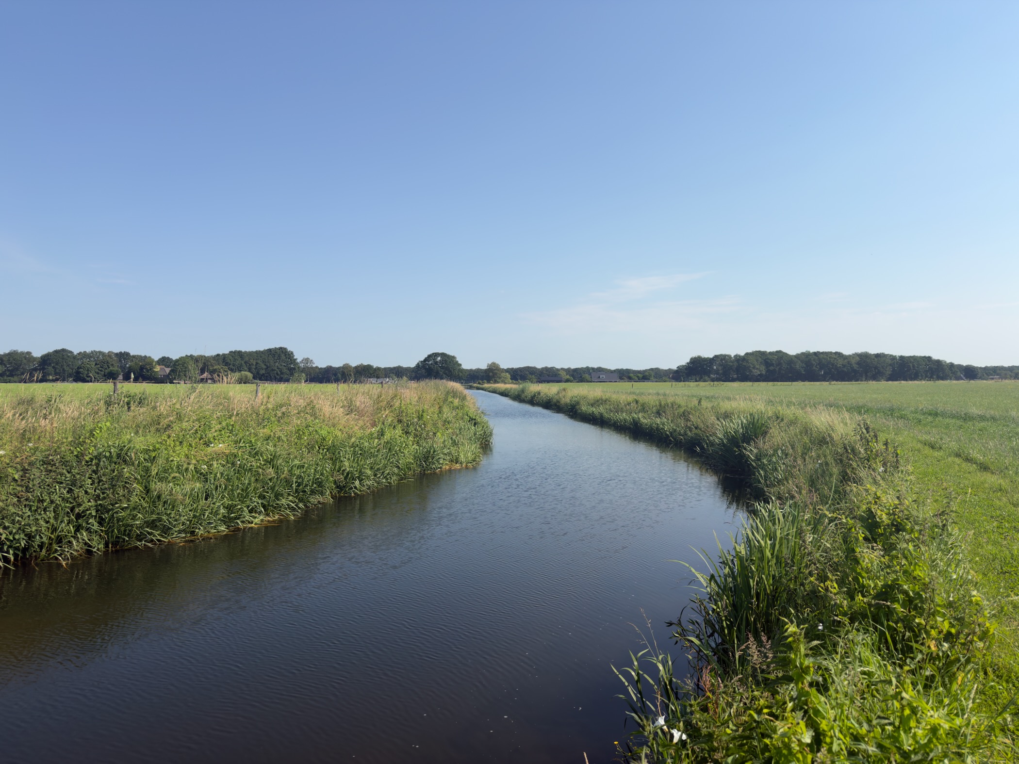
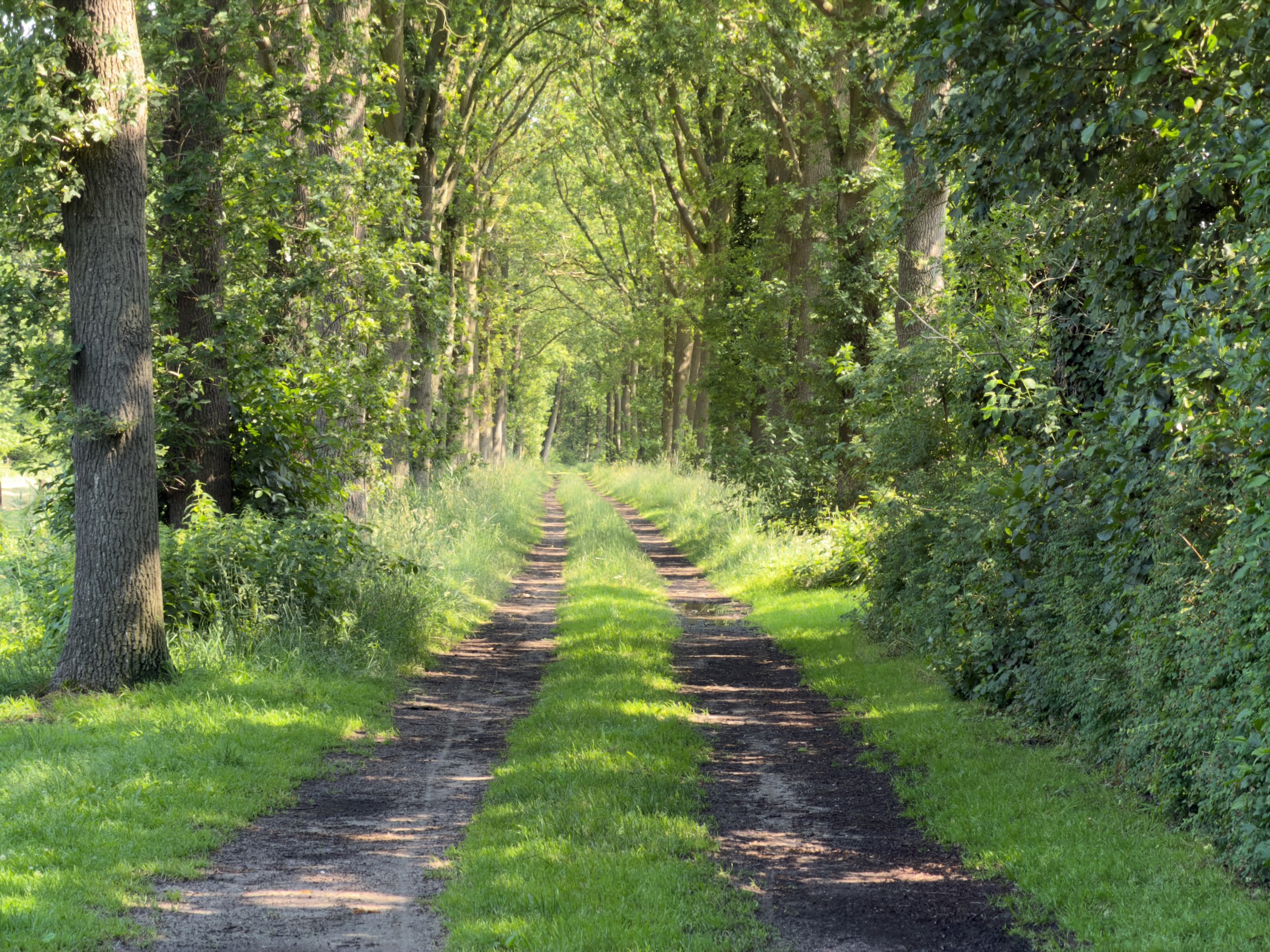
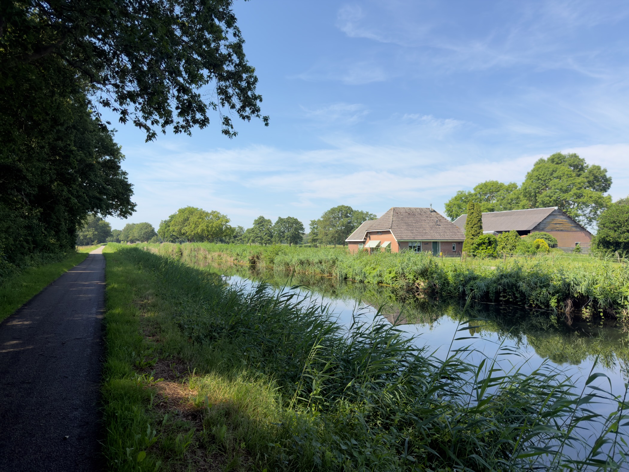
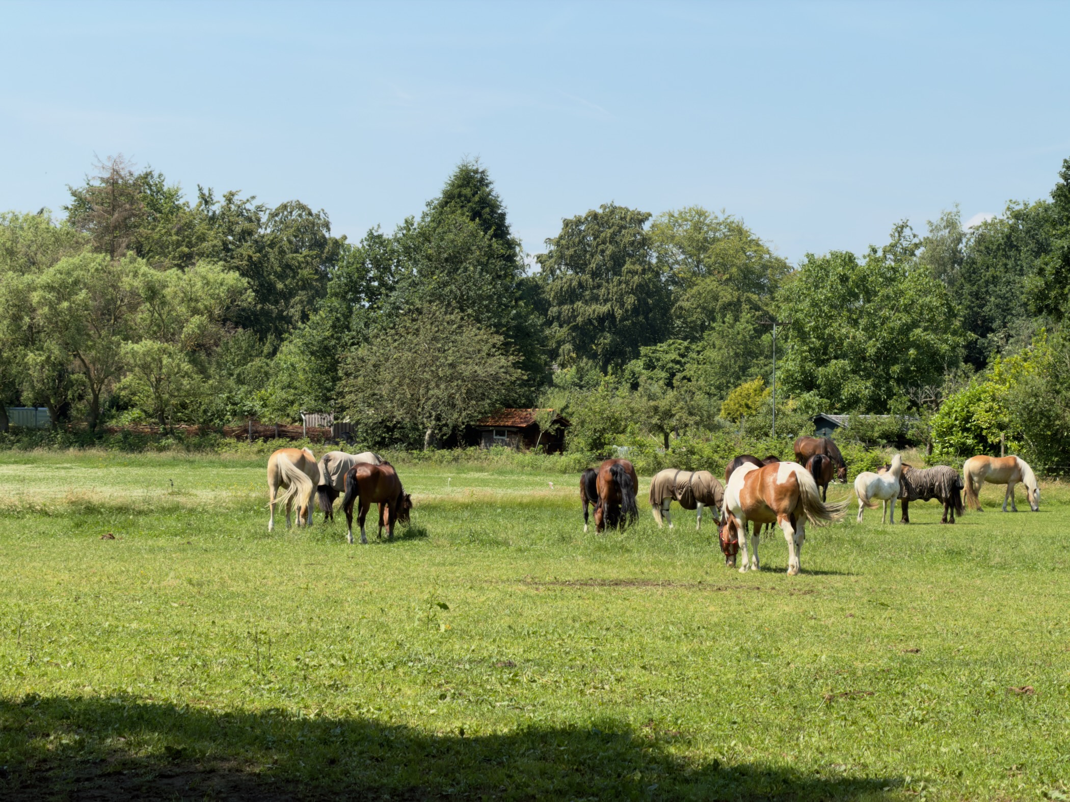
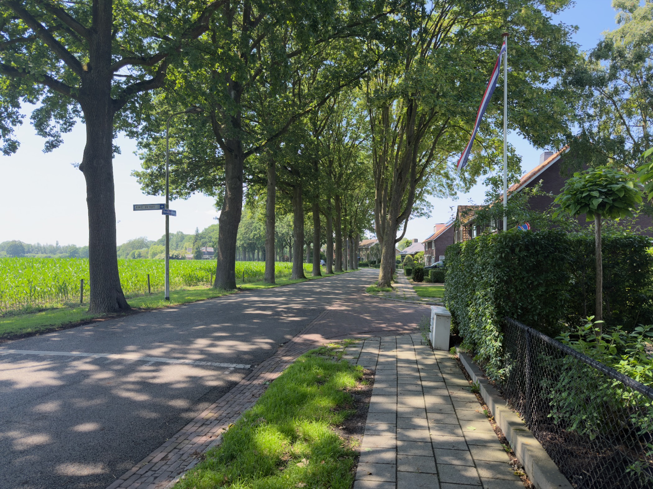
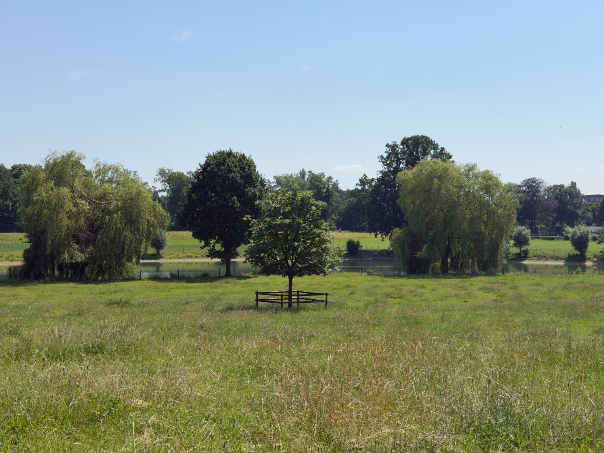
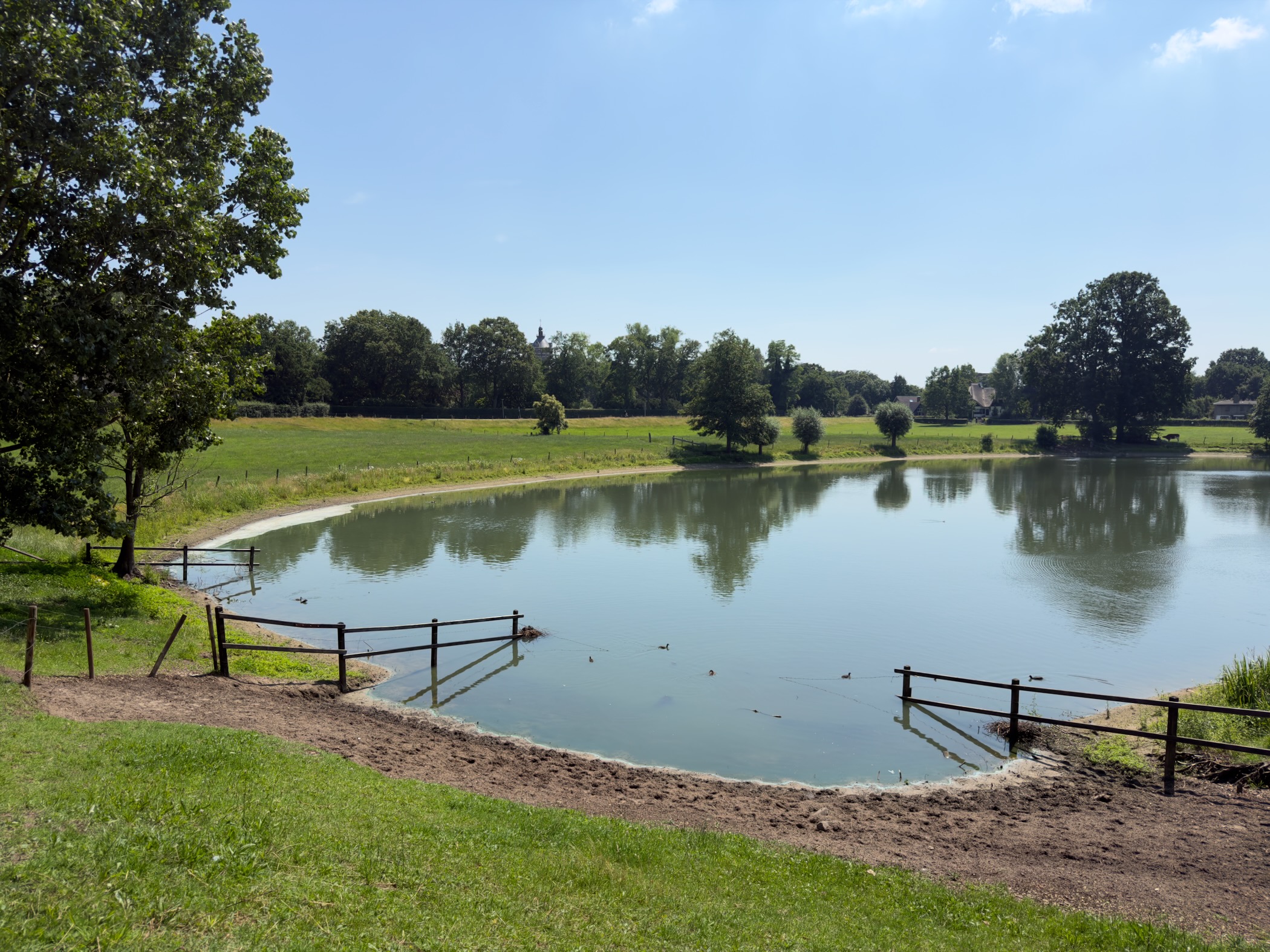
The area between Lettele and the Hanseatic city of Deventer is a small-scale varied landscape with meadows, forest and heath. After this you walk to Deventer aan de IJssel, one of the most beautiful rivers in the Netherlands. Finally, after the medieval streets and alleys, you will enjoy the Deventer Koek.
Hike report
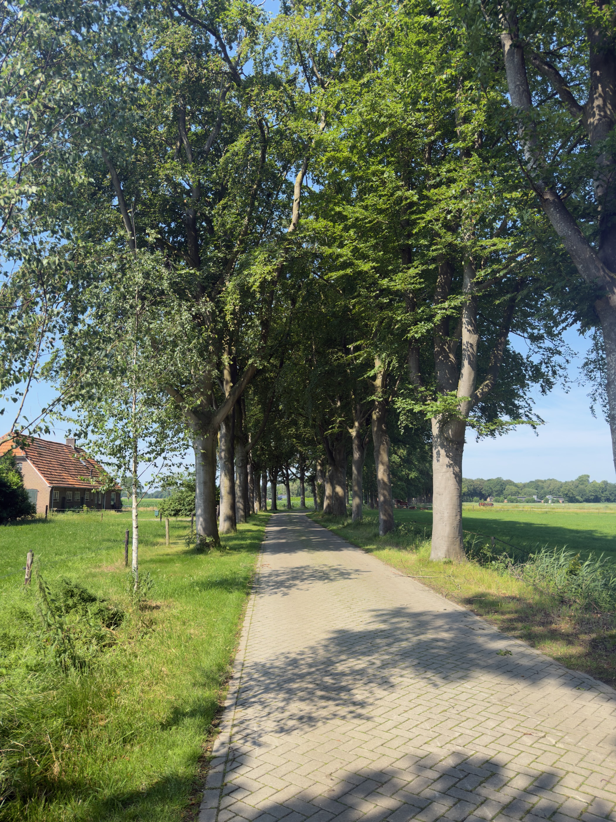
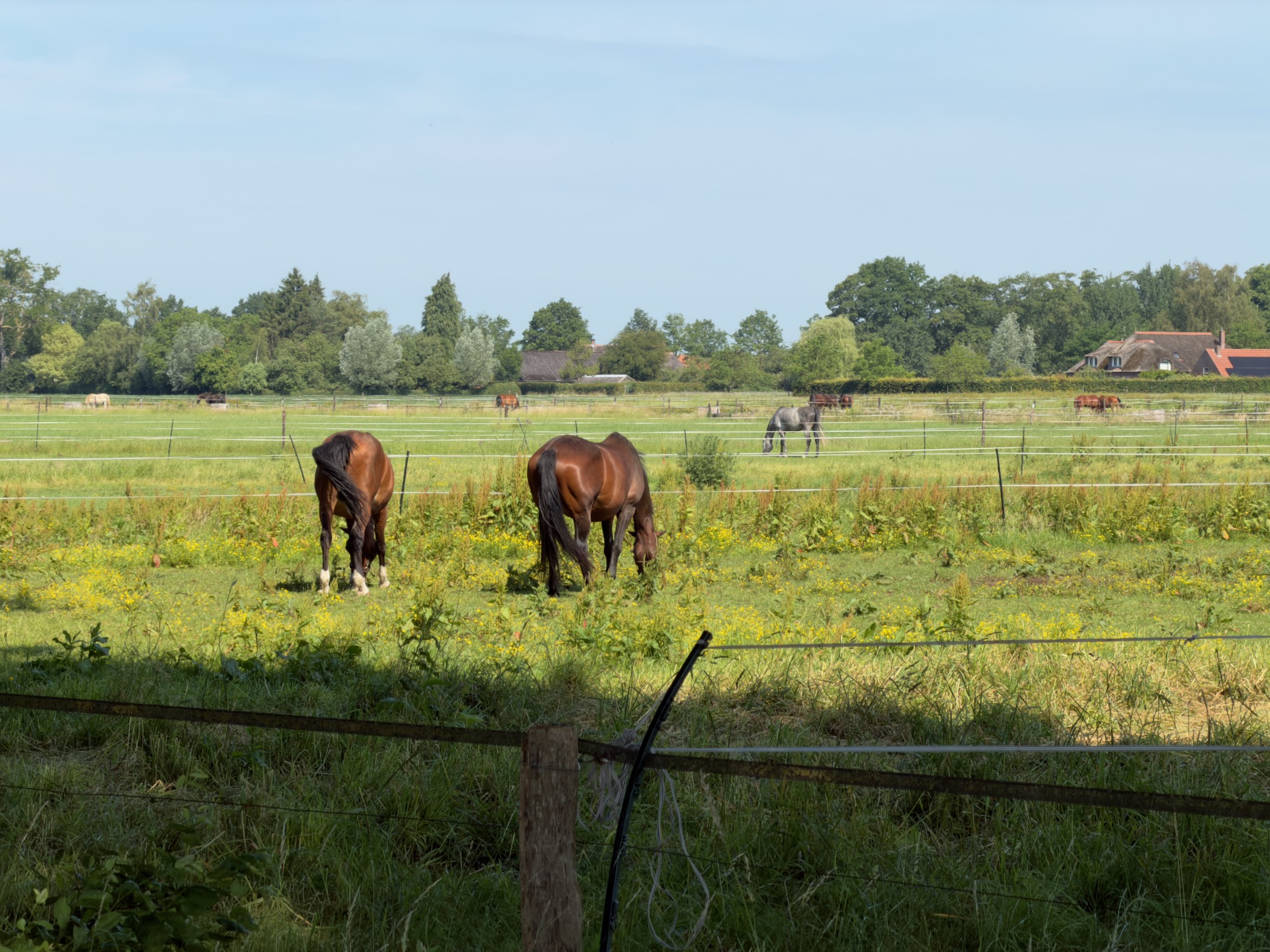
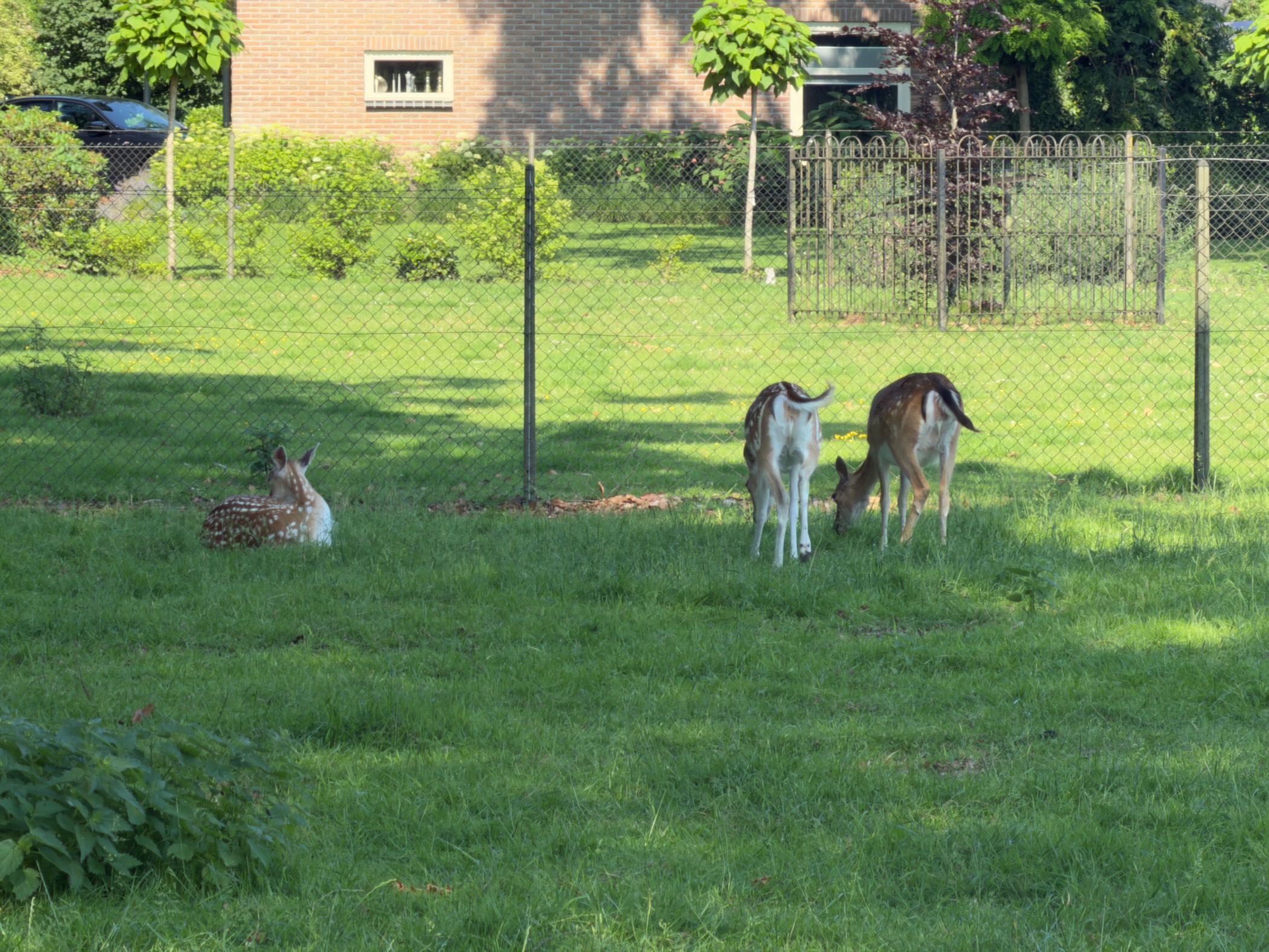
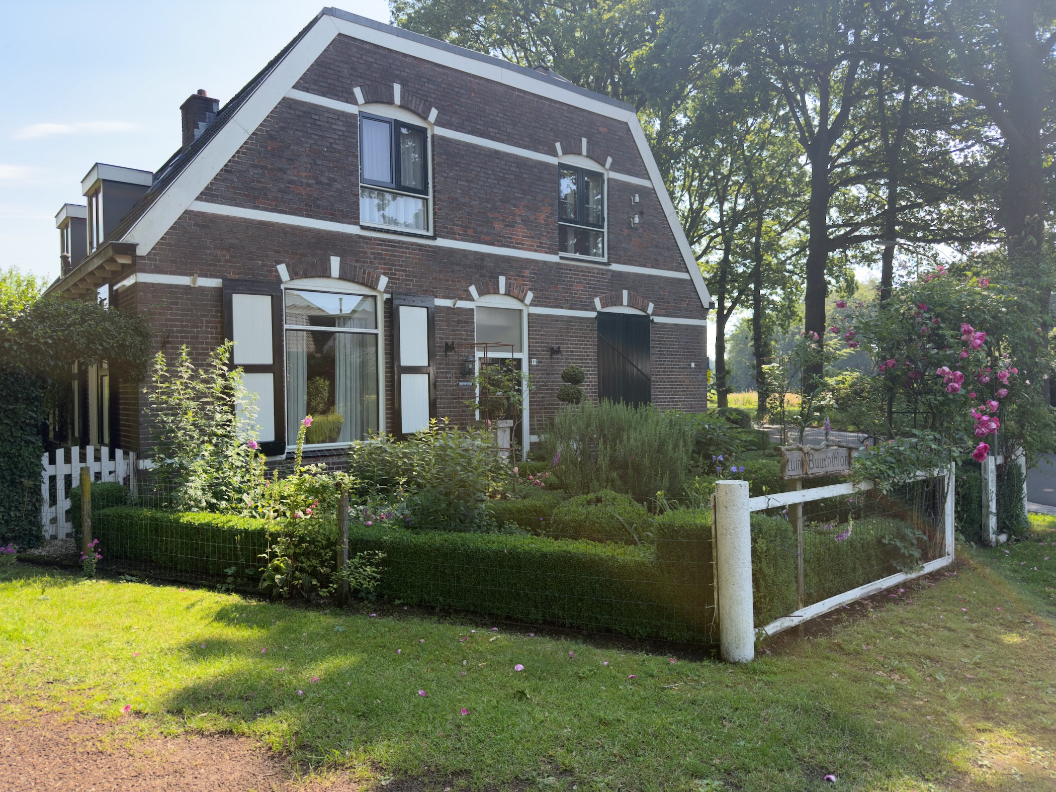
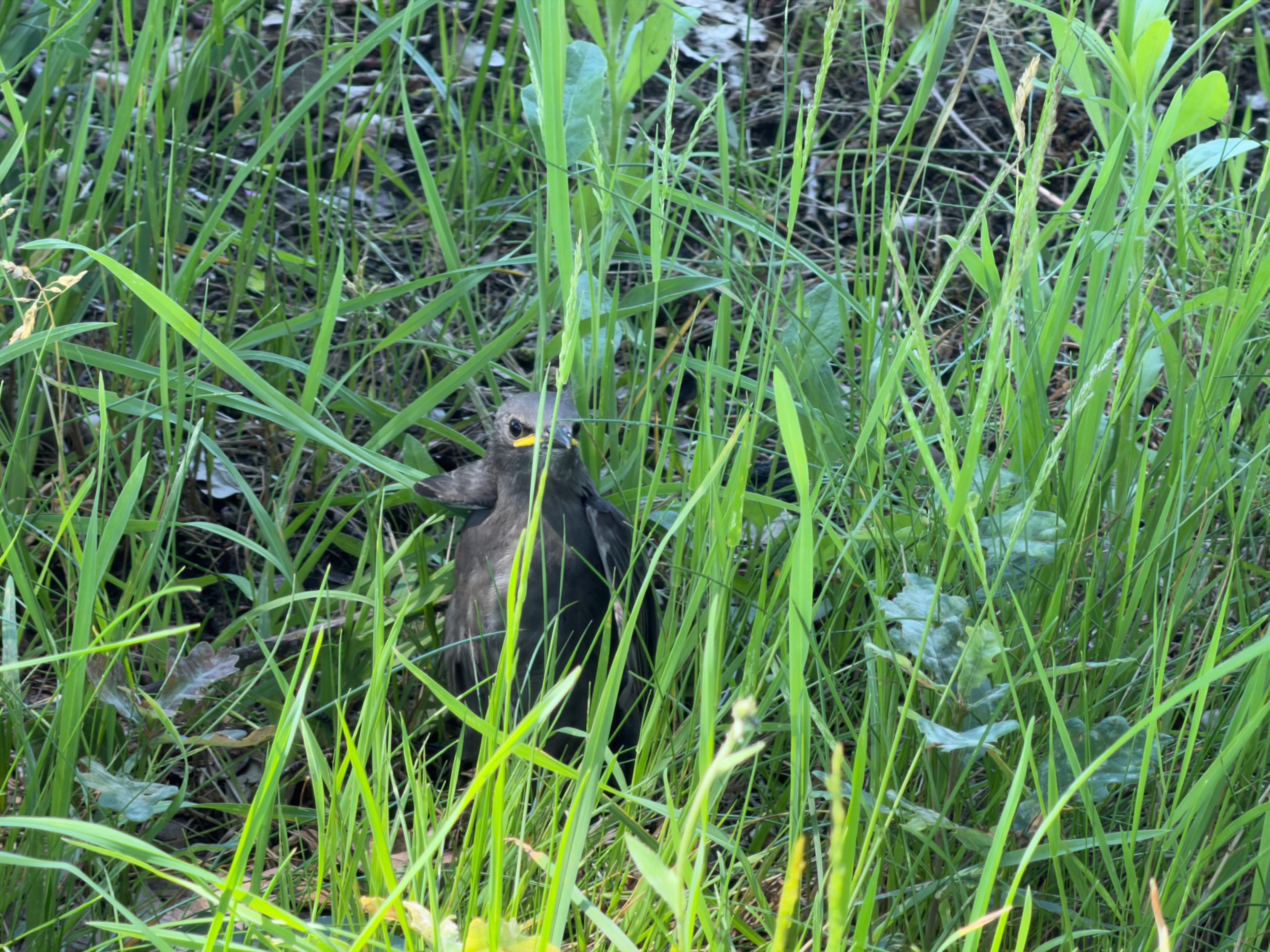
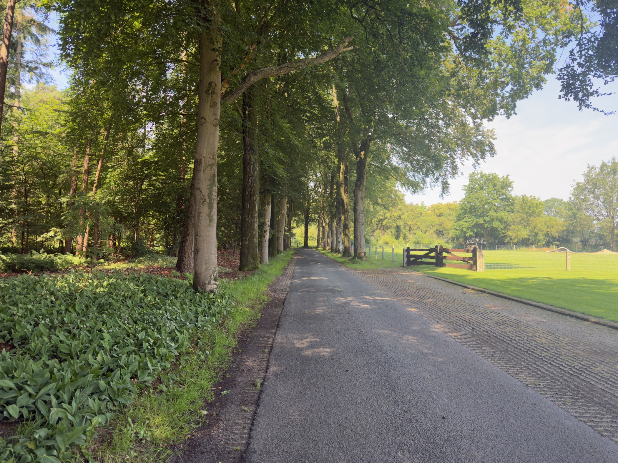
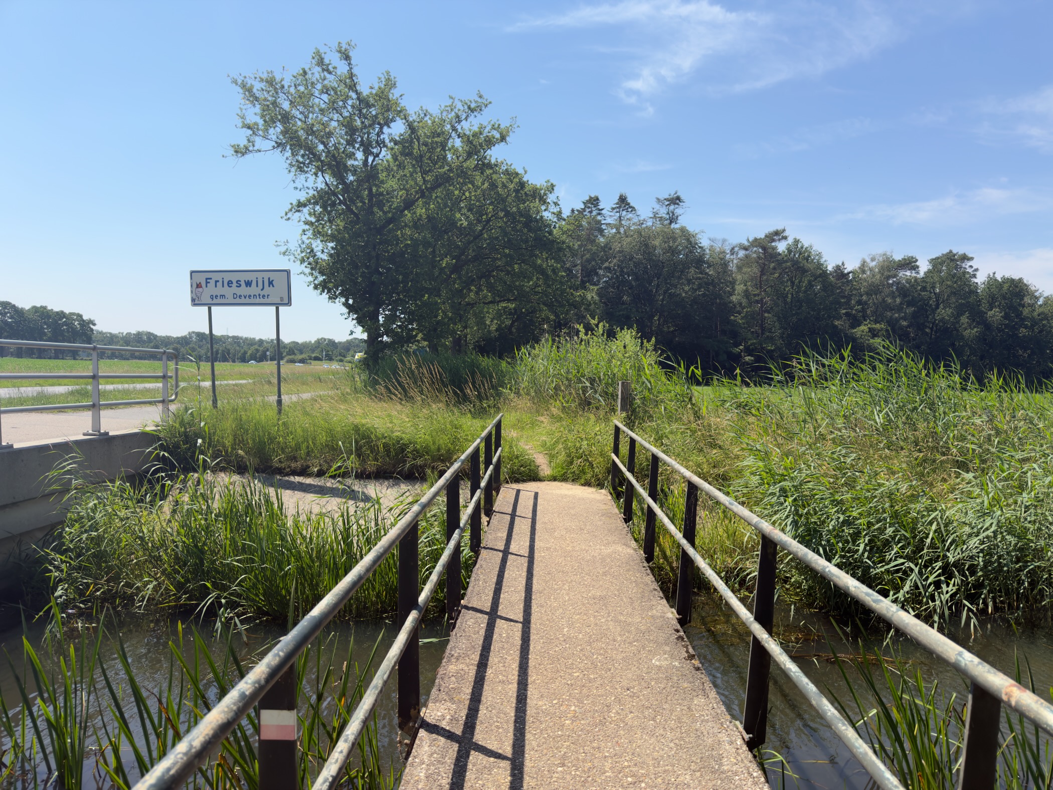
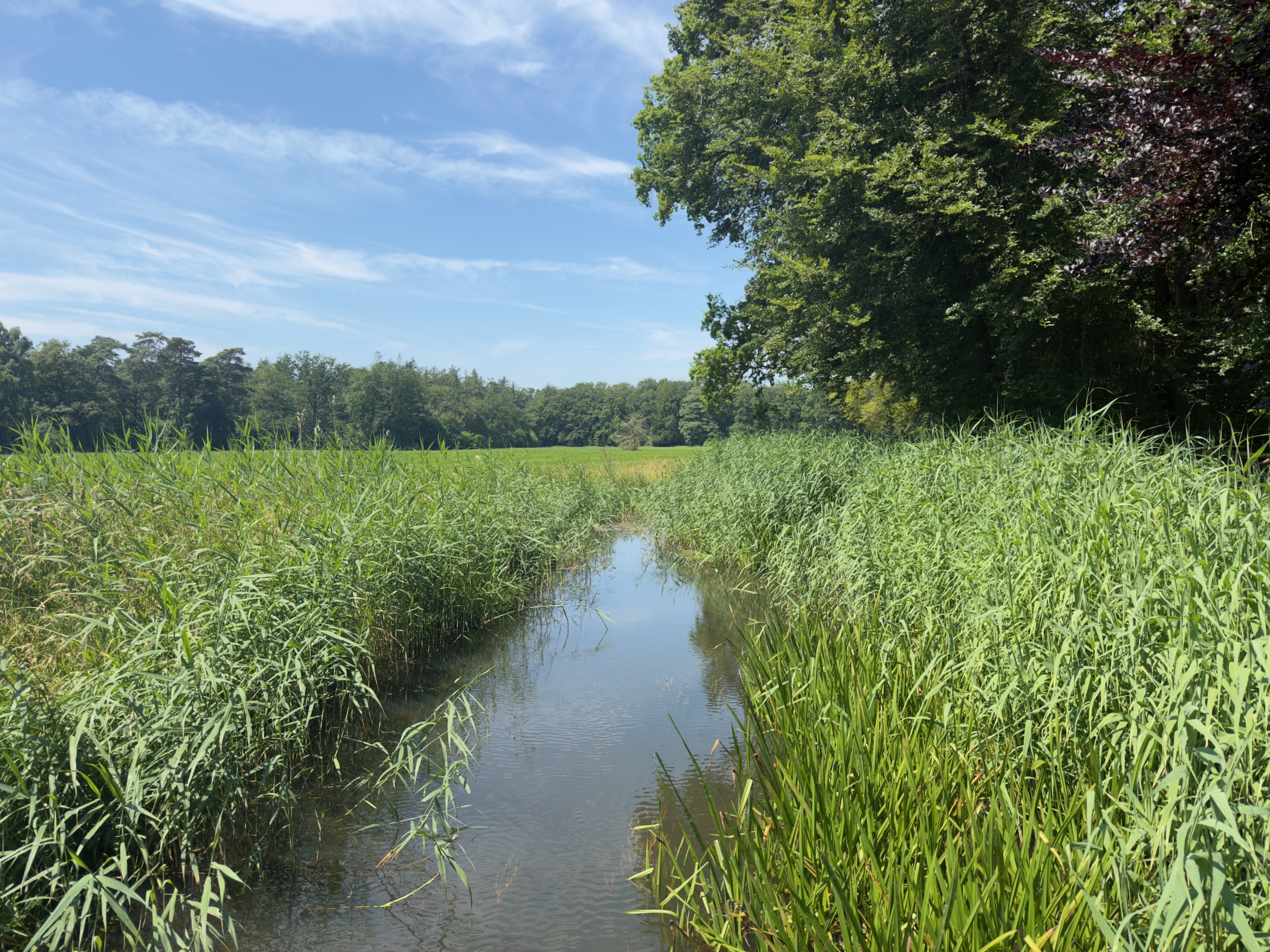
Map
Details
| Data | Value |
|---|---|
| From | Lettele |
| To | Deventer |
| Distance | 18.9 km |
| Duration | 4h 42m |
| Speed | 4.02 km/h |
| Elevation gain | 112 m |
| Weather | 28°C, Sunny, 73% humidity |
More info
- Trail details (Dutch)
- Lettele
- Deventer
Enjoyed this post?
Well, you could share the post with others, follow me via RSS Feeds and/or send me a comment via email.
Tags
Category:
Country:
Trails:
Year:
#100DaysToOffload 70 of 100
Hike goal 39 of 52
Comments
Nothing yet. Say the first thing.
Sign in to join the conversation.