A cooler northerly flow continues this weekend as high pressure builds in from the north Atlantic. More sunshine and fewer showers, away from the cloudy northwest. Beyond that a first look at the Bank Holiday weekend.
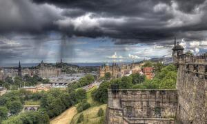
Low pressure is bringing heavy showers, even thunderstorm to parts of the UK. Midweek rain for The Fringe in Edinburgh. A waving front has brought rain to the south coast briefly. Cooler northerly air for the end of the week
The week will turn cooler as low pressure moves over the UK, bringing showers and a more northerly flow. After weeks of heat and humidity, some rain is forecast, but it won't make much difference for southern Britain.
A band of Atlantic rain spreads across Scotland and Northern Ireland today, while England and Wales stay mostly dry and warm. Tuesday turns windier with westerly gusts, with showers becoming quite widespread on Wednesday and Thursday
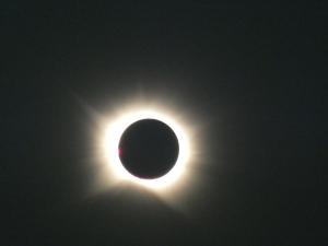
After 2026's total solar eclipse in Spain, focus shifts to August 2027 across southern Spain and northern Africa. From searing 40C heat to coastal low cloud, what to consider for Totality viewing
Britain's remarkable summer reached new heights with 38.1C recorded at Kew Gardens, just a day after the partial eclipse swept the country. Now attention turns to next week, when rain looks set to finally break the dry spell across much of England.
Saturday squeezes what is left of the heat into the south coast, reaching 29 to 30C from the Solent to Sussex. Amber heat-health alerts remain across six English regions, while Sunday brings rain arriving from the west.
Friday should still reach 34 to 35C in the south-east, ten to twelve degrees above the mid-August average. Rain shows hints of returning from the weekend, though with almost three quarters of England in drought after the driest July since 1836, a few millimetres will not go far.
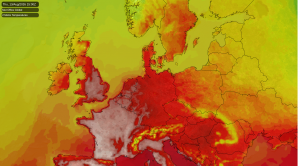
Amber heat warnings cover seven English regions, with 36-38C likely inland. Drought grips Wales and most of England, and although temperatures will fall from their peak today, no significant rain is expected before the weekend ends.