
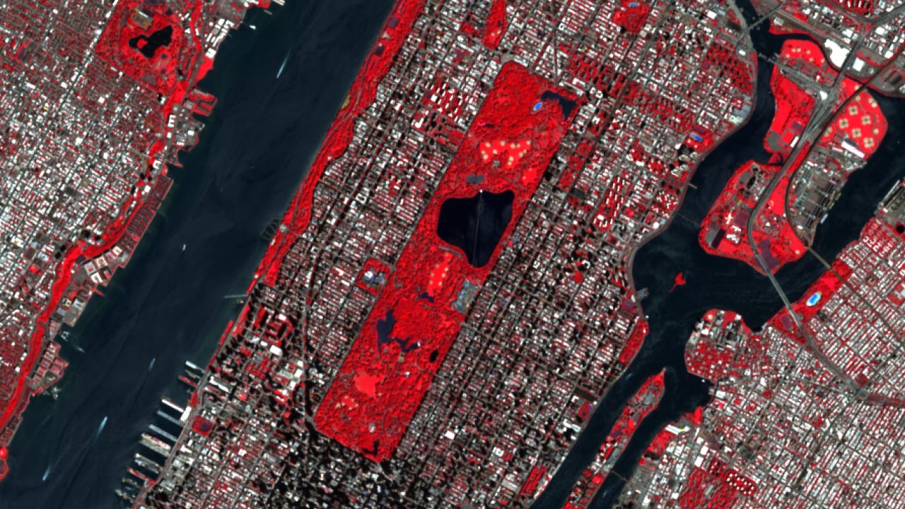
Many people’s first satellite project dies at the download step - how to integrate that into QGIS, how to unlock analytical options, or even where to go for to simply acquire beautiful imagery like on the cover photo.
A traditional approach is that you sign up for Earth Engine, wait for approval, learn a JavaScript API you’ll never use again — and by the time you have an image, you’ve forgotten what you wanted to measure. Or you find a portal, click through a form, and end up with an 800MB zip of bands you don’t need.
While satellite data is becoming the most important foundational data layer in today’s goespatial world, especially with GeoAI. And while my previous learning materials were already touching satellite data, the proper onboarding - from downloading the data to apply advanced raster processing techniques, was still lacking. Now, this new course starts there.
Satellite Data Science in Python is four chapters and 2h 39m on one thing: getting Sentinel-2 imagery onto your machine and turning it into something you’d defend in a meeting. No Earth Engine. No API key. No account.
That last constraint is the whole design. Sentinel-2 is published as a STAC catalog, hosted openly — you query it like a database, with a bounding box, a date range, and a cloud threshold, and read only the bands you want over only the area you want. Fifteen lines of Python. It’s been possible for years and almost nobody teaches it, because the platforms have a strong interest in you learning their interface instead.
The chapters go: acquire, compute, track, analyse. Query the catalog. Turn raw reflectance into NDVI, NDWI, NDBI. Pull two years of scenes and watch a city green up and brown down. Then join it to population and produce a number per neighbourhood.
I get asked what order to do these in, so — plainly:
101 Practical Python Tips and Tricks is the ground floor. Not satellite-specific; it’s the Python-for-spatial-data habits everything else assumes.
101 Steps to GeoAI is the map of the territory. Broad, fast, covers a lot. It tells you what exists.
Fundamentals of GeoAI goes deep on models — convolutions on imagery, U-Net segmentation, built from scratch so you can see what each layer does.
Satellite Data Science is the layer underneath the models, and it’s the one people skip. Which bands, at what resolution, corrected how, cloud-masked by whom, composited over what window — those choices decide more about your output than most architecture decisions do. They usually happen before anyone opens a notebook, which is exactly why they go unexamined.
If you’re doing GeoAI without knowing where your input came from, this is the gap.
The final chapter is free, as a full read-only walkthrough: how much green space does each New Yorker actually get? Satellite-derived vegetation, a global population grid, joined per neighbourhood into one rankable number. Every line of code with the output it produced underneath.
Twenty minutes, and you’ll know whether the course is for you.
→ Trailer → Free walkthrough → Satellite Data Science in Python
No posts
Comments
Nothing yet. Say the first thing.
Sign in to join the conversation.