
One of the most important driving principles behind Love of the Land is the importance of understanding history, even if the facts contradict our ideological beliefs. I’m particularly sensitive about misrepresentations of history, and I’m triggered whenever I encounter them. One place where I often see history being misrepresented is at Israeli national parks, especially if a particular site has a long-documented Arab history. That’s why, during a visit to one of Israel’s newest national parks, Migdal Tsedek (‘The Tower of Justice’), close to Rosh HaAyin in central Israel, I was pleasantly surprised to see a reasonably pluralist and nuanced history being told through the signage and other features.
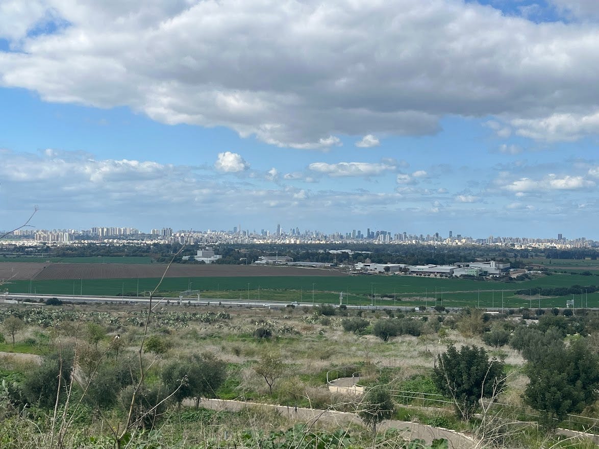
With a commanding view over the ancient trade route the Via Maris (‘Way of the Sea’), Migdal Tsedek has been settled since antiquity. In the Second Temple period there was a Jewish settlement called Migdal Afek there (not to be confused with nearby Tel Afek), which was destroyed by the Romans during the Great Revolt. Later, during the Crusader period, a fortress was built on the hilltop called Mirabel (‘Beautiful View’) which was subsequently captured and destroyed by Saladin.
Majdal Yaba (named for the nearby city of Jaffa, which can be seen from the hill) was located here during the Middle Ages, one of the largest villages between the Samarian foothills and the coastal plain. In the eighteenth century, as Ottoman rule weakened, a local ruler named Sheikh Sadiq al-Jamma’ini renovated the remains of the Crusader fortress and turned it into a manor house (which has itself been rehabilitated as part of the development of the national park). The name of the village was then briefly changed to Majdal Sadiq before it was changed back again after Sheikh Sadiq was banished by the Ottomans when they resumed full control. According to historian Roy Marom, during this time the area served
as a buffer zone between the political-economic-social units of the Jerusalem and the Nablus regions. On the political level, it suffered from instability due to the migration of the Bedouin tribes and the constant competition among local clans for the right to collect taxes on behalf of the Ottoman authorities.
During the Mandate, it was advantageously located due to its proximity to Jaffa, the railway, and nearby orchards. Most importantly, it had active quarries and lime kilns. These had increased in the wake of the development of Jewish settlement in the coastal plain. At its height, around 35 lime kilns and stone quarries were in operation. In parallel, between 1937 and 1947 there was a military outpost in the area, where Yitzhak Sadeh (the founder of the Palmach) established the Notrim – Jewish auxiliary police who were active during the Arab Revolt. They helped protect the stone industry (where both Jews and Arabs worked), as well as nearby Petah Tikvah and the Yarkon Springs.
When the War of Independence began, the Jewish workforce was withdrawn and the military outpost closed. The area had been allotted to the Arab state in the UN Partition Plan, and Iraqi forces initially conquered the area until, in July 1948, the Alexandroni Brigade captured Migdal Tsedek and Rosh HaAyin. Majdal Yaba was also conquered and its inhabitants forced out. Following the war, quarrying at the site was renewed and expanded, until the stone was depleted, and the quarries became trash pits. In recent years, the Israel Nature and Parks Authority has rehabilitated them. As part of this process, some of the quarries have been turned into a system of artificial vernal pools that are now a habitat for a variety of unique plants and animals. There have also been efforts to conserve and restore parts of the fortress.
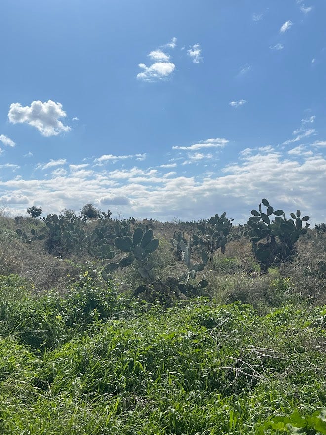
In 2021, Migdal Tsedek National Park was officially opened to the public. Today the site is made up of various walking and bike trails leading up to the fortress and around the quarries. At the foot of the hill there are sabra plants, a surefire sign that there was a Palestinian village in the area (it was used to mark boundaries between agricultural plots). As the signage at the site reads:
The prickly pear cactuses and cisterns on the slopes are remnants of the Muslim village of Majdal Yaba…Wheat, corn, barley, sesame and vegetables were grown on the village lands, and to the west were orchards and banana plantations. Many of the inhabitants made their living in the stone industry. Until the War of Independence, some 1,600 people lived in the village, which had a mosque and a school. The inhabitants belonged to seven clans, each of which lived in its own neighborhood.
One could criticize the wording used here, but in general I think it’s quite encouraging. A visitor to the site will understand from this that Migdal Tsedek was not terra nullius prior to 1948; there was a village here that was involved in agriculture and stone quarrying and where children went to school. In short, it was part of a broader society and culture. Nor should this be taken for granted. While the sign shies away from the events of 1948 itself, it’s still relatively rare for signage at an Israeli National Park to provide this much detail about what was previously a Palestinian village. Similar signs can be found around the fortress and Sheikh Sadiq’s tomb. Here’s hoping it bodes well for the future.
No posts
Comments
Nothing yet. Say the first thing.
Sign in to join the conversation.