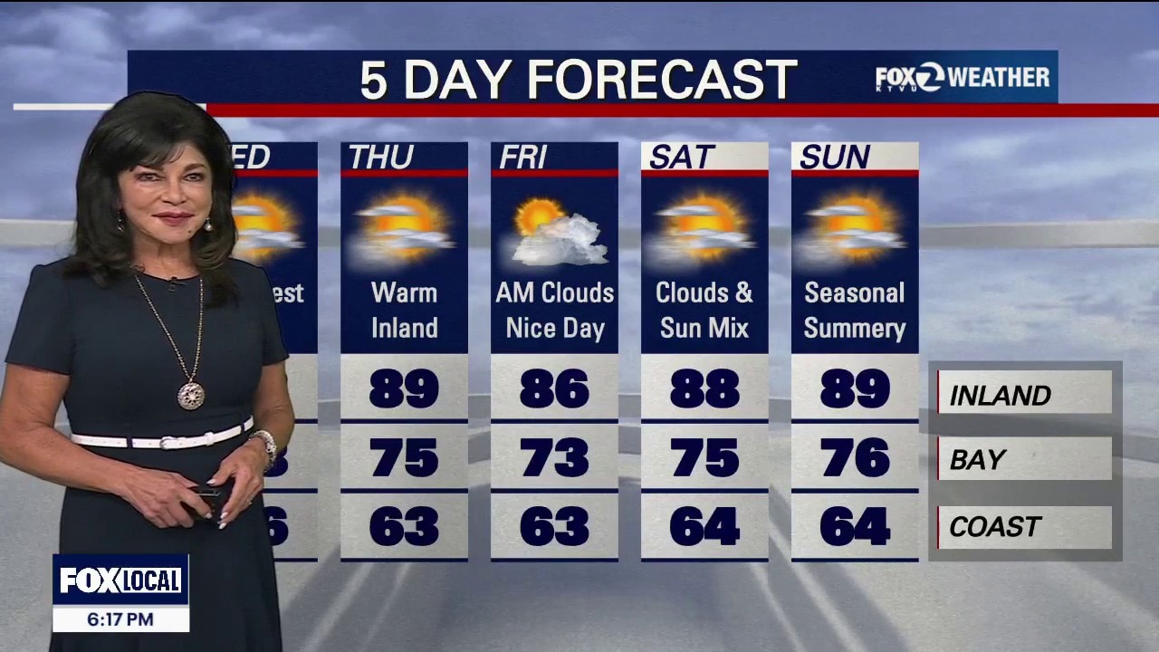
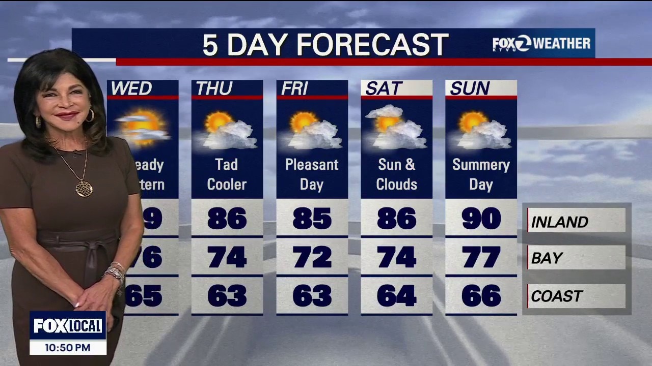
The minor cooling trend will continue. We are expecting another blanket of clouds Friday morning. Look for a sun & cloud mix later in the day. Highs should range from the mid 60s near the coast to the mid 80s inland. The weekend forecast features slightly warmer temperatures.
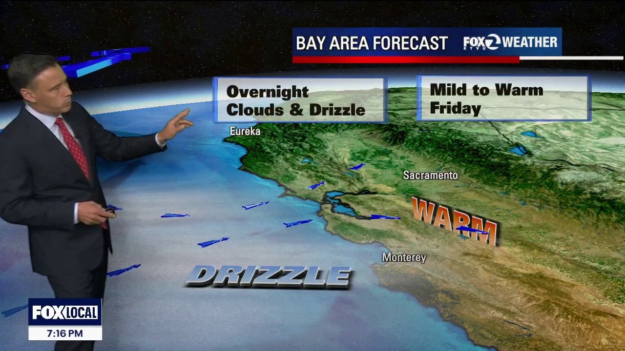
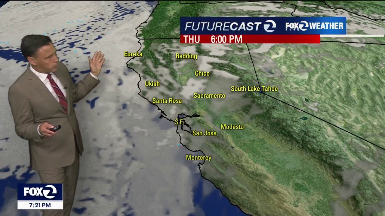
Low clouds, along with a sprinkling of drizzle, will move into bay Thursday morning. The clouds will slowly clear back to near the shoreline later in the day, revealing partly sunny skies. Highs should range from the low 60s to the upper 80s.
Happy Tuesday evening! Wednesday: Coastal fog & drizzle: Expect low clouds and fog along the coast, with potential early morning drizzle in Half Moon Bay, Santa Cruz, and Santa Rosa. Afternoon highs: A near-carbon copy of Monday's temperatures.60s at the Coast, 70s and 80s Bayshore and up to 94 degrees for the hottest locations Inland. Long-Term (Thursday Through Monday) Cooling trend: The…
No big changes in the Bay Area weather pattern. Low clouds will resurface near the coast and bay Tuesday morning. Partly sunny skies are expected later in the day. Slightly warmer temperatures in the forecast. Highs should range from the mid 60s near the coast to the low 90s well inland.
For Monday: The Coast Cold, grey, and breezy. Daytime Highs: 60°F to 62°F. The Forecast: Heavy morning marine fog will stubbornly stick around, only partially clearing right along the immediate beaches by late afternoon. The Bayshore Comfortable, starting cloudy but ending bright. Daytime Highs: 66°F to 70°F. The Forecast: Overcast skies will dominate the morning commute. The sun will easily break…
Days of severe storms and flooding across Indiana have left at least six people dead, including a 4-year-old boy, as swollen rivers inundated communities.