
Playback speed
×
Share post
Share post at current time
Share from 0:00
0:00
/
Generate transcript
A transcript unlocks clips, previews, and editing.
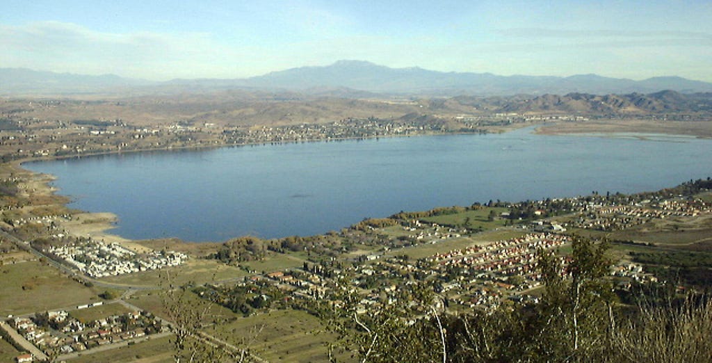
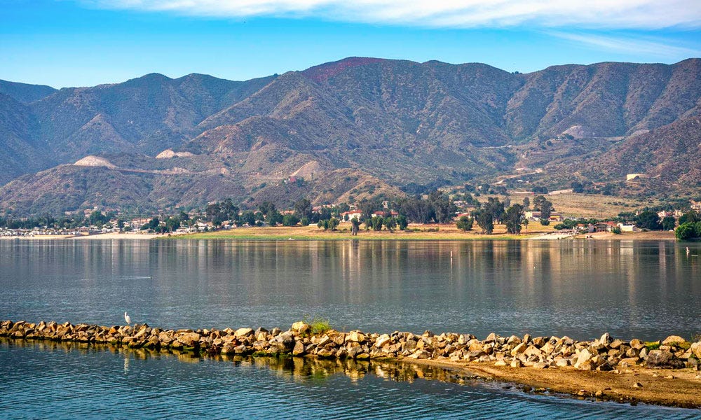
to Lake Elsinore then LSD Ranch to Cathedral City Coachella Valley Palms Springs

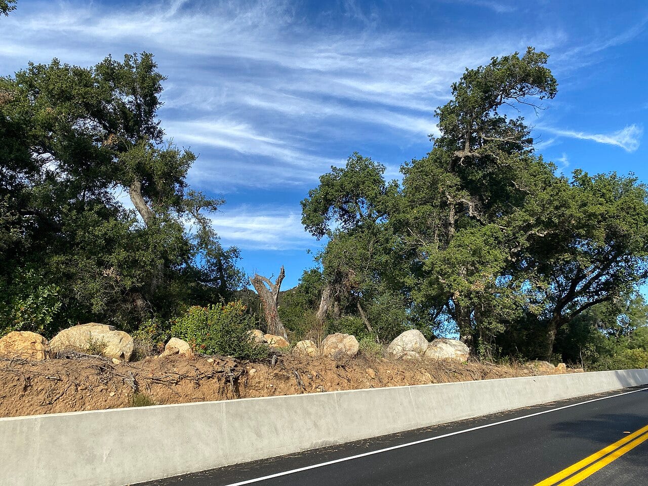
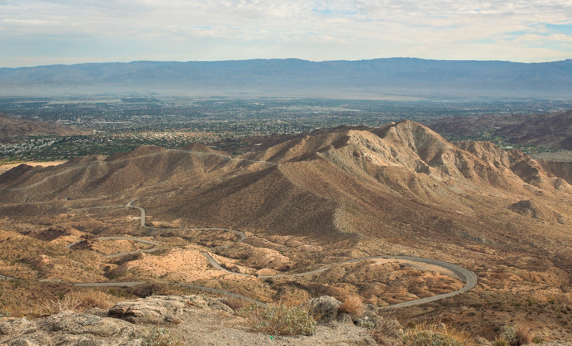
In the context of Orange County, California, the Ortega Highway (California State Route 74) is widely regarded as one of the most dangerous roads in the region. It is a winding, two‑lane highway linking San Juan Capistrano in Orange County to Lake Elsinore in Riverside County and is part of the Pines to Palms Scenic Byway.
High fatality rate: Data from UC Berkeley traffic safety researchers show that between 2011 and 2023, 57 people died in the 28‑mile stretch from the 5 Freeway in San Juan Capistrano to Grand Avenue in Lake Elsinore, with 35 of those being motorcyclists (61%).
Overall toll: Across its full 110‑mile route from San Juan Capistrano to Palm Springs, 214 people have died — more than the 5 Freeway in Orange County and the 91 Freeway across Orange and Riverside counties.
Dangerous terrain: The road features hairpin turns, blind curves, steep drop‑offs, and open stretches through the Cleveland National Forest and Ronald W. Caspers Wilderness Park.
Speeding culture: The posted speed limit is 55 mph, but many drivers and bikers exceed it, increasing crash risk.
Motorcycle hotspot: Known as “Blood Alley” and “Dead Man’s Curve,” it has a long history of fatal motorcycle crashes.
“The Road of Death” — a nickname it shares with Santiago Canyon Road and Laguna Canyon Road in Orange County’s most dangerous road rankings.
“Bloody Ortega Highway” — due to its high number of fatalities.
“Squids” — bikers’ slang for riders who take extreme risks on the road.
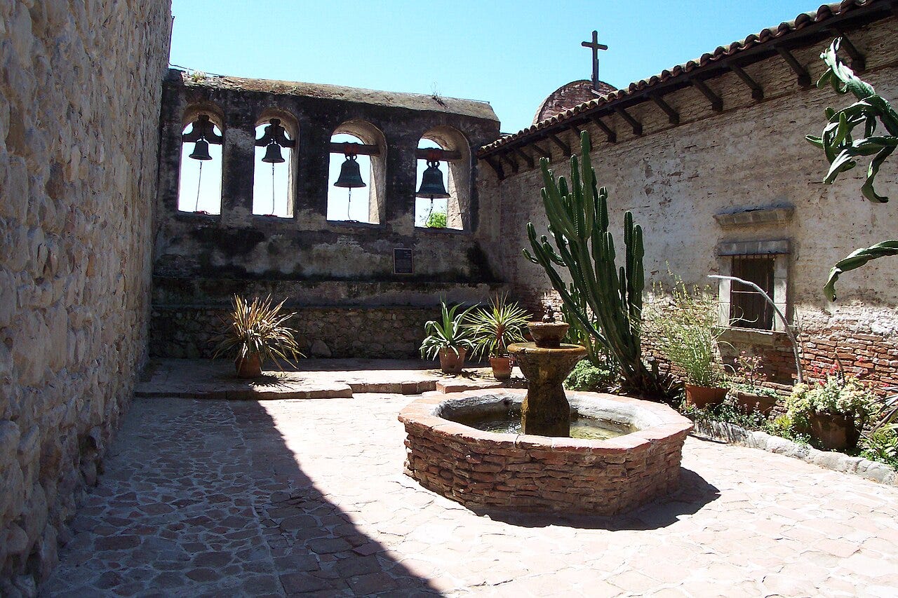
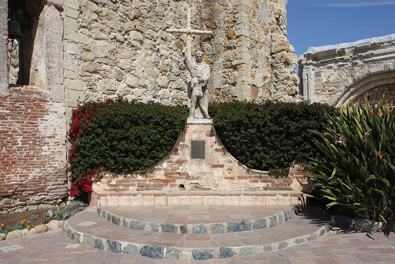
Franciscan Catholic Priest Father Junipero Serra ran cover for the Military Outposts and Colonialism of California.
Comments
Nothing yet. Say the first thing.
Sign in to join the conversation.