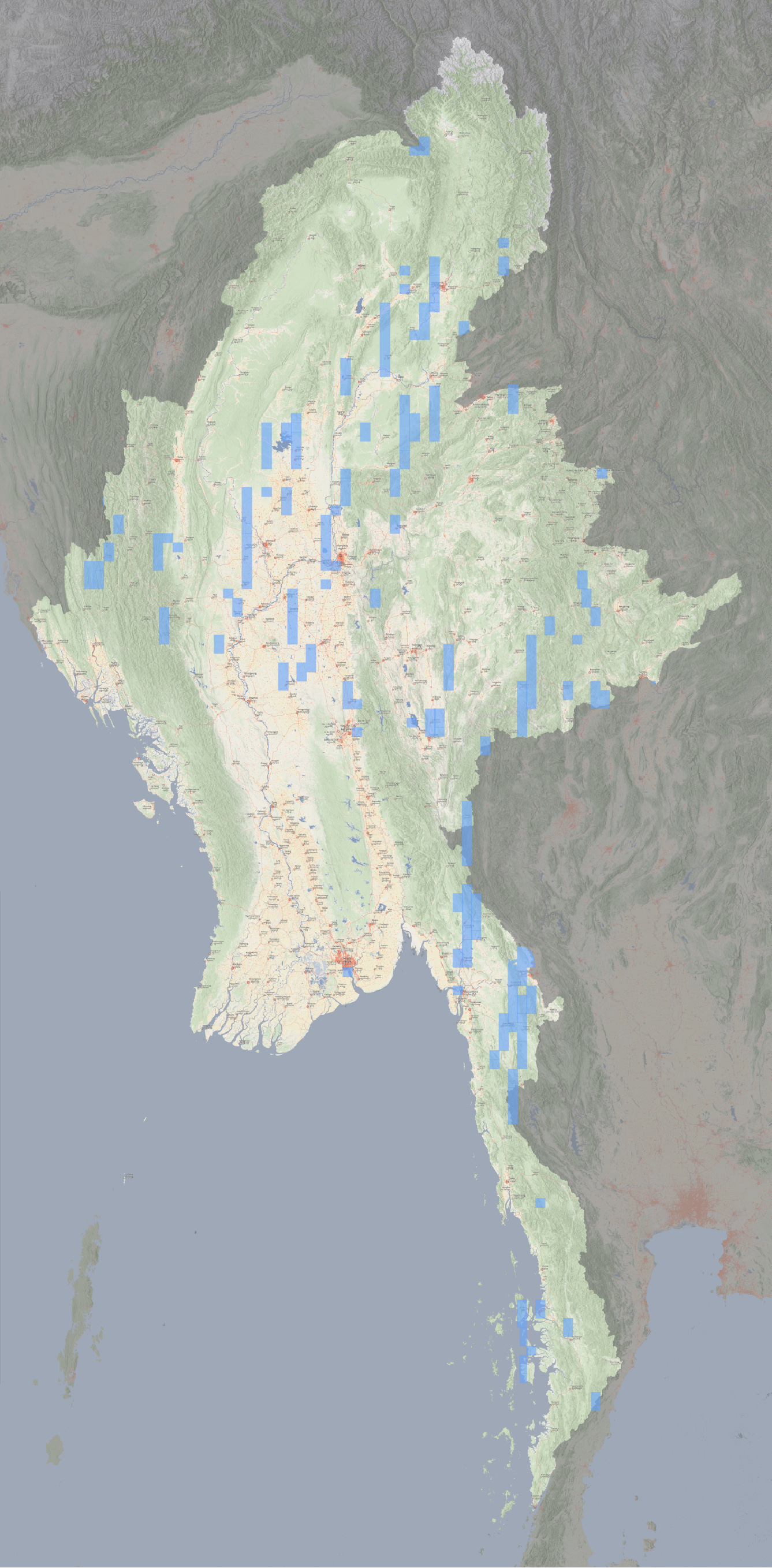
Tracking recent, free satellite imagery of Myanmar
If Google won't, I will.

Maps and musings (geospatial data) on human rights, conflict tracking and the environment.
Subscribe:.rss.atom.json.md.m3u.pls
Dormant Last read · last published · next check
Read 3 days ago and current, but nothing has been published for 20 months.
If Google won't, I will.
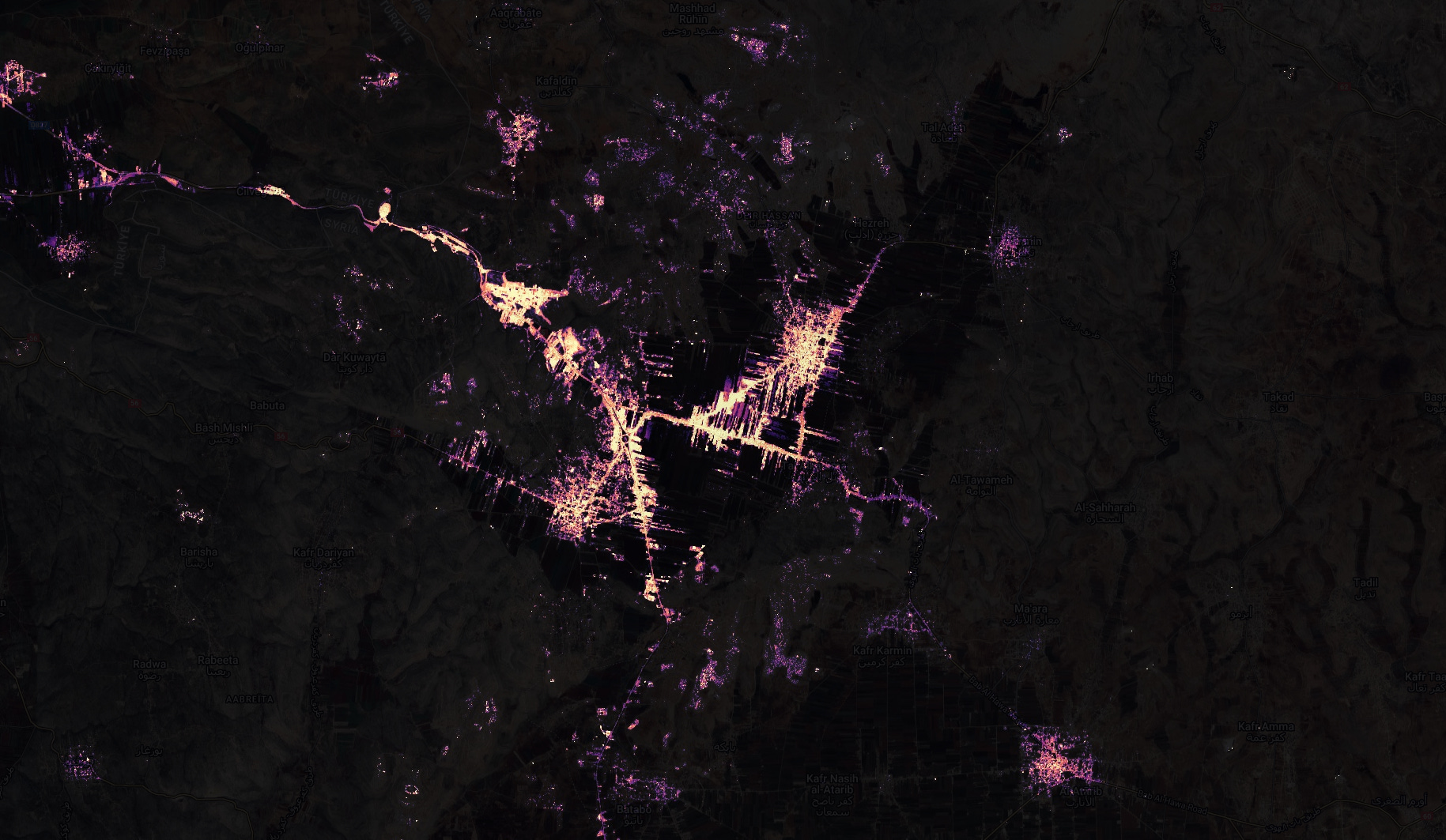
Night-time satellite imagery reveals a key reason for the Syrian Government's combat ineffectiveness.
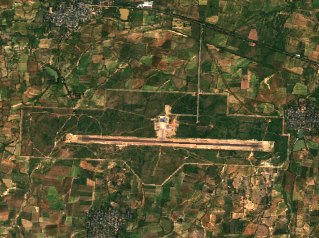
The Burmese Junta is looking for more ways to inflict terror.
After a year on the offensive, the Arakan Army has nearly captured the entire countryside.
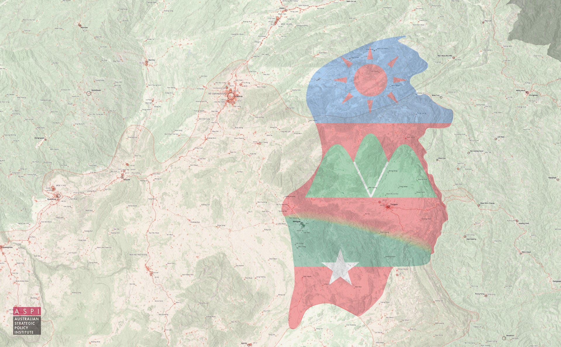
On July 11th, the military and political scene in Burma was uprooted as 2,000 soldiers from the United Wa State Army crossed the Salween River from their bases in the Wa Self-Administered Division and fanned out from the town of Tangyan across much of central Shan State.
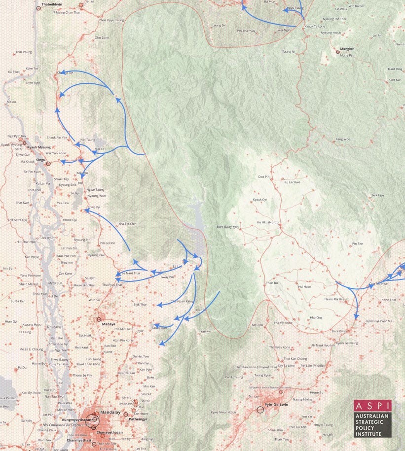
On June 25th in Northern Shan State and Mandalay Region, the approximately 6-month long Haigeng ceasefire broke down following mutual escalation and Junta air-and-artillery strikes on rallying resistance forces between Kyaukme and Mogok. In the first fourteen days following the resumption of clashes in the area, Resistance forces - primarily the Ta’ang National Liberation Army - captured 4…
This is The Geospatial Digest.