
Published August 20, 2026 7:17 AM EDT
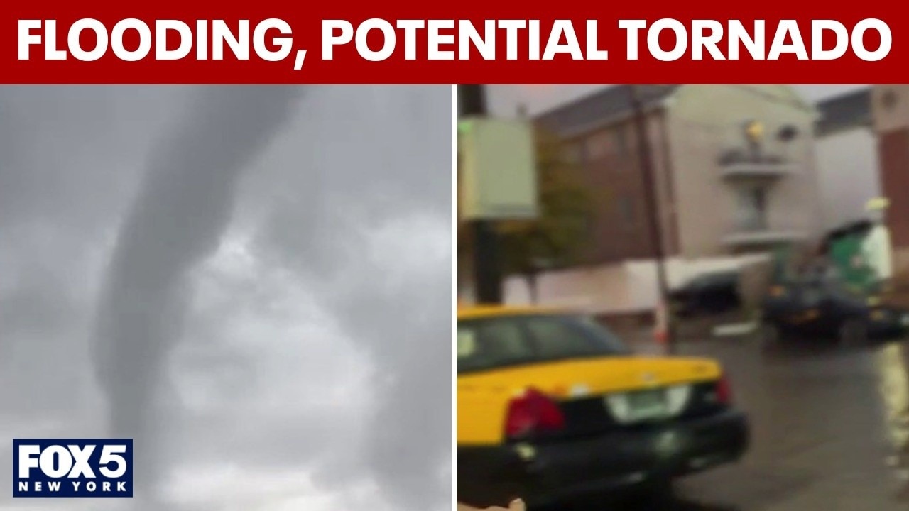
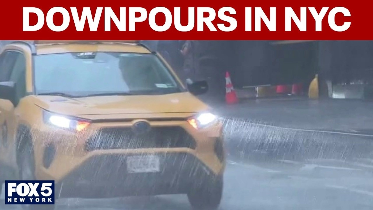
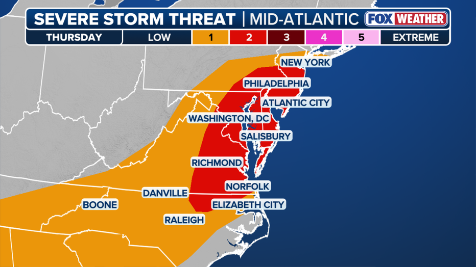
NEW YORK CITY - A Flood Watch was issued for much of the Tri-State Area with heavy downpours and potentially severe thunderstorms in Thursday's forecast for NYC and NJ.
NYC weather forecast, flood watch
What we know:
The National Weather Service expanded the flood watch to New York City, Westchester, Rockland, Fairfield, western Long Island, and New Jersey from 2 p.m. Thursday until 2 a.m. Friday.
What's the weather for today?
Timeline:
Scattered showers will start developing in the Hudson Valley around noon, progressing into downpours and possibly severe thunderstorms that will make for a messy afternoon and evening commute across the region.
Flash flooding and potentially damaging wind gusts will be on the table throughout.
Peak rainfall rates could reach around 2 inches per hour, with the greatest flash flood threat coming between 6 p.m. and midnight, the NWS said. The threat could linger on Long Island.
Weather radar NYC
Click HERE for more information.
Weather in NYC tomorrow, weekend forecast
What's next:
While the bulk of Thursday's severe weather should clear out by 10 p.m., the flood risk will continue for at least a few more hours. Friday is set up to be a beautiful day with highs in the low 80s, but the rain threat returns Saturday and Sunday.
The Source: This article includes information from the National Weather Service.
Comments
Nothing yet. Say the first thing.
Sign in to join the conversation.