
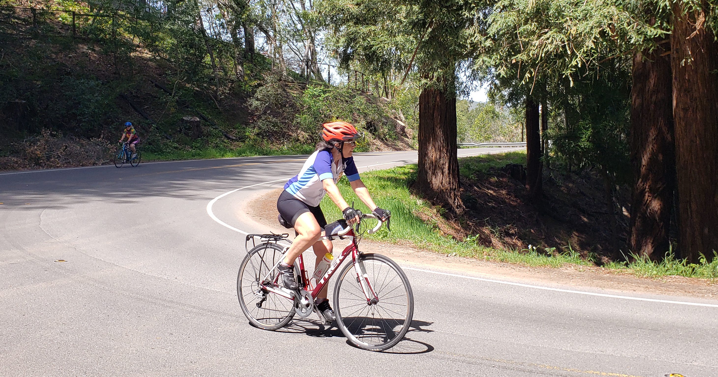
I spend more time planning road trips than actually sitting on the bike saddle during the rides. The process starts early with conversations among our four-member traveling group. Where should we go this year? When do our personal calendars align? What do we want to accomplish?
We try to connect the destination dots as we study maps from San Diego to British Columbia. How can we put together seven days of diverse riding while minimizing our drive time between cities?
So many questions. So many decisions.
The perfect itinerary allows for multi-night hotel stays so we can minimize packing and moving and still be near superb cycling routes. A few places quickly come to mind.
- Port Angeles on Washington State’s Olympic Peninsula. There’s the easy Olympic Discovery Trail, the mammoth Hurricane Ridge climb to a mountain top, and a ferry to sublime Victoria, B.C.
- Bend, Oregon. Six state scenic bikeways in the region range from the modest Twin Bridges route to the extreme McKenzie Pass ride over the Cascade Range.
Then there’s Northern California’s East Bay, and the city of Pleasanton, to be specific.
Please share this article with your cycling friends.
Find more than 80 posts in the complete “Why We Ride” destination cycling guide here.
But why would a suburban city such as Pleasanton provide a quality base for road cycling? The popular real estate axiom applies here: Location, location, location.
This is called the Tri-Valley area, where the Livermore, Amador, and San Ramon valleys come together. Pleasanton, about 20 miles east of the San Francisco Bay, is positioned at the junction of Interstates 580 (east/west) and 680 (north/south). Bay Area Rapid Transit (BART) light-rail system stops here, and BART welcomes bikes.
We made Marriott’s AC Hotel Pleasanton our two-night home during this year’s California tour.
Where to Ride
There are many tantalizing bike rides in the Bay Area. My list always starts with these.
Grizzly Peak – Grizzly Peak Boulevard is an exemplary climbing experience in the Berkeley Hills whether you join the organized Grizzly Peak Century spring event or simply set out on your own. We like to start in Moraga, 25 miles from our hotel, and work our way north. We always find a few redwood trees on our way up to Tilden Regional Park as well as panoramic views of distant San Francisco.
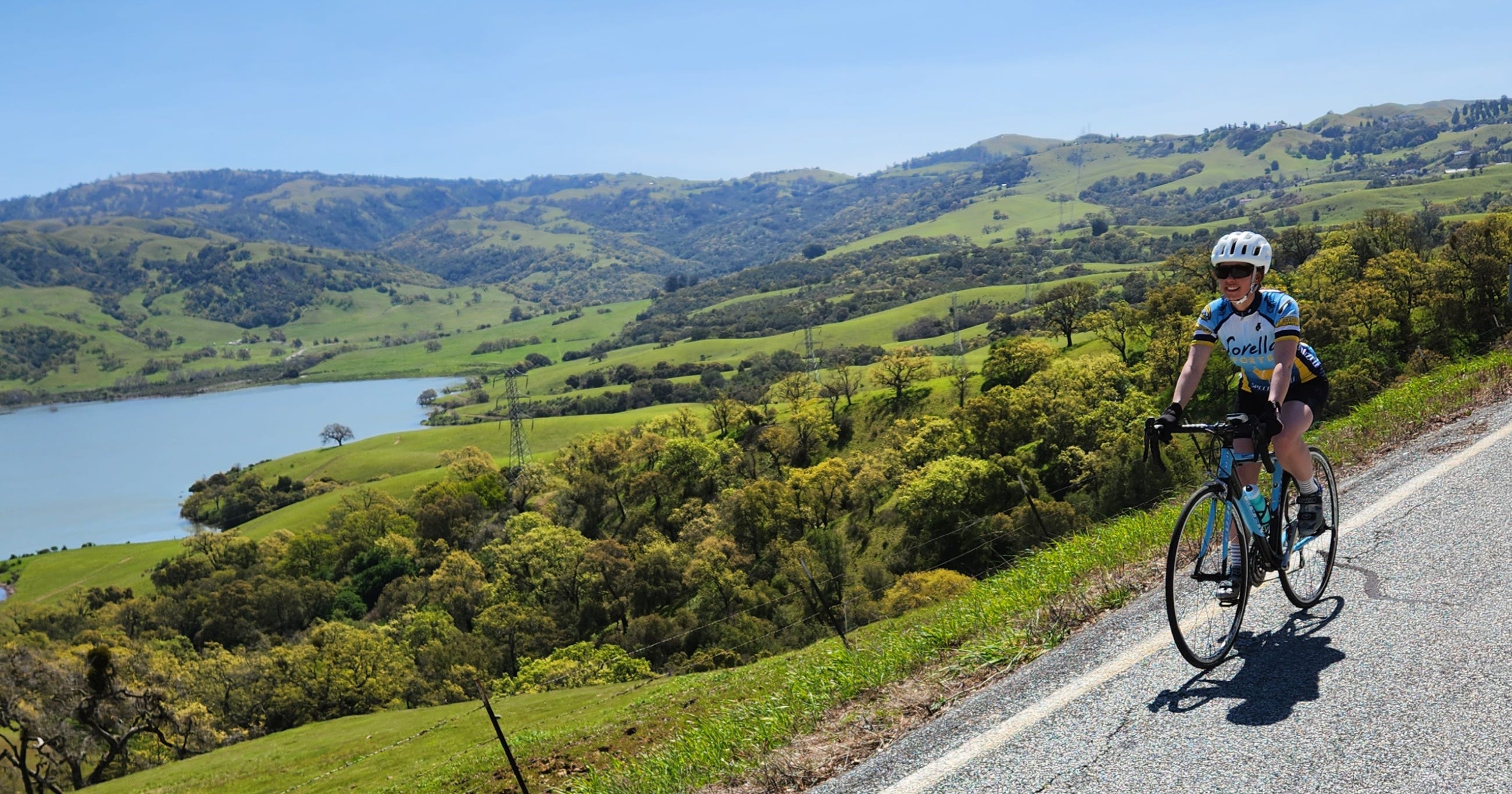
Calaveras Road – Here’s another East Bay ride 25 miles from the hotel. Calaveras Road stretches for 15 stunning miles between Milpitas to Sunol. Look down on Calaveras Reservoir as the road snakes under sprawling oak trees. This is a featured segment during the annual Primavera Century staged by the Fremont Freewheelers Bicycle Club. Watch out for the 2.6-mile “Wall” near Milpitas. There’s nearly 1,000 feet of elevation gain here and a 16 percent maximum grade. Ride south on Calaveras Road if you want to avoid the pain.
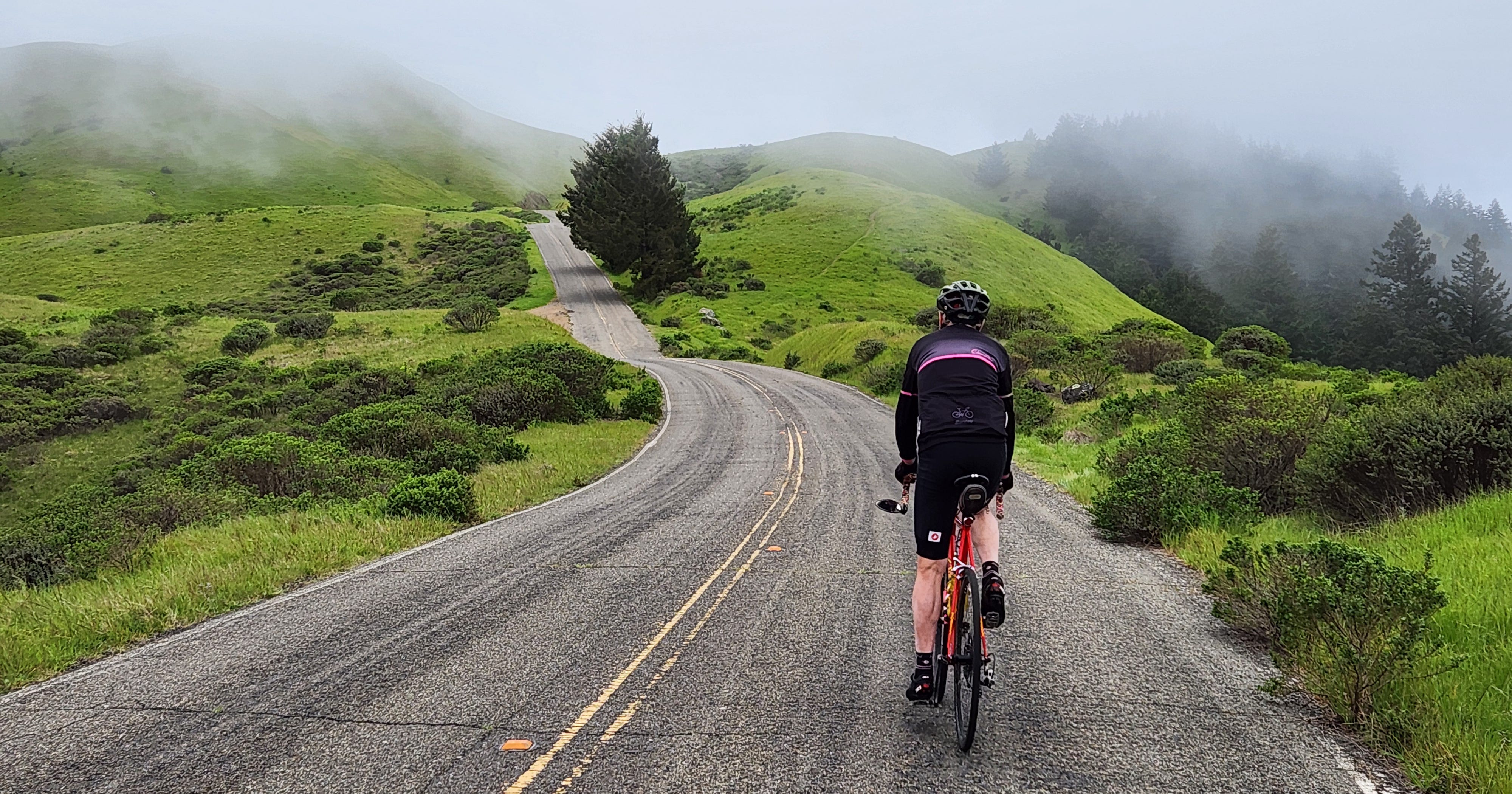
Mt. Tamalpais – Marin County is a bridge west of Pleasanton, and it’s well worth driving 50 miles to Fairfax for a ride up and over this iconic Bay Area landmark. Enjoy the climb through the lush Mt. Tamalpais watershed, around peaceful Alpine Laker, and over the “seven sisters” before the summit and a fast descent back to civilization.
Mt. Diablo – I confess. I’ve never ridden up this devil. Cycling companions Bob Cortright and John Haus, however, have diverted from my more mundane Bay Area plans to take on this expedition. Here’s what Bob has to say:
“Every area has its big dog, signature climb. In the East Bay, it’s Mt. Diablo. Omnipresent in the background, a constant, silent challenge ready to test riders,” Bob tells me.
He uses descriptors such as “wonderful solitude” and “entertaining” and says there are “fabulous, long views as the road rises and twists up and around the mountain.
“There’s a unique sting in the tail ending with a short, 16 percent-plus ramp to the summit,” Bob continues. “You can spend a few minutes soaking up the views at the summit before a screaming descent.”
Riding Local
Some cyclists may be more interested in a less strenuous effort, perhaps a comfortable spin east from Pleasanton toward Livermore and the local wine region. While Bob and John were tilting up steep grades, I followed wide bike lanes along Vineyard Avenue toward the grapes.
My path eventually veered down a long palm tree-lined driveway to Rubino Estates Winery on the original Ruby Hill Winery property. I stepped inside to view that day’s offerings – Italian varietals and California standards. Barbera. Sangiovese. Nebbiolo. Cabernet Sauvignon. Chardonnay. I did not sample; I don’t taste and ride. But my interest was piqued. A post-cycling visit was in order.
One More Ride
The Altamont Hills east of Livermore are the final geographic barrier before leaving the Bay Area and descending into the city of Tracy and the Central Valley. These hills have been a curiosity of mine for years. I’d seen the windmills lining the slopes, but I had never ventured off Interstate 580 to see more. Here was our chance.
Since the itinerary called for a drive to Chico and Honey Run Road, we decided to explore the area on our way north. The ups and downs of Altamont Pass and Tesla roads combined for another story at another time.

Dan Shryock is a travel writer and career journalist who focuses on cycle tourism. Based in Oregon, his work has appeared in magazines and websites in California and the Pacific Northwest. His book, “Cycling Across Oregon: Stories, Surprises & Revelations Along the State’s Scenic Bikeways” is available on Amazon.
Comments
Nothing yet. Say the first thing.
Sign in to join the conversation.