This week was about polish and sustainability. We shipped a new surface-type visualization, tightened up the activity detail UI, and experimented with bulk import before deciding to keep OpenRoutes focused on single-activity uploads. Road Surface Visualization Activities now show a surface bar under the elevation chart. It pulls surface tags from OpenStreetMap, groups them into human-friendly…
Big batch of updates this week. OpenRoutes now has local trail data, a redesigned homepage, and a proper about page. Here's what changed. Local Trail Cache with Spatial Index The browse map used to hit the Overpass API live every time you panned or zoomed — slow, unreliable, and rate-limited. That's gone now. OpenRoutes fetches IMBA rated trail data from OpenStreetMap and stores it in a local…
I went down a deep rabbit-hole. Even working quite a bit into last night seeing if I wanted to host my own tile-server so I am not dependent on third party tools. I realized it's possible, but not with my current infra. The storage needs for CO alone are 16gb before processing and around 2.5 after, the full US would be well over 100gbs. That and the need for a POWERFUL server makes it a non…
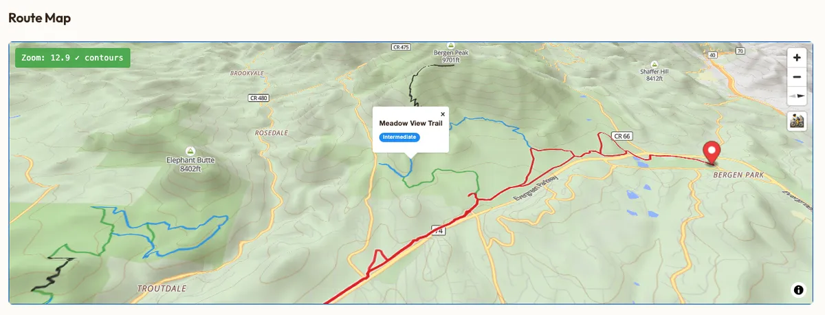
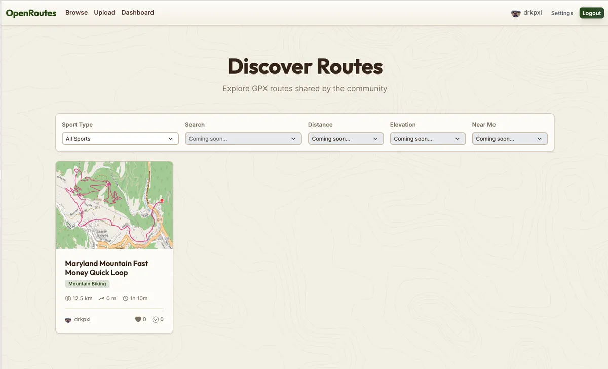
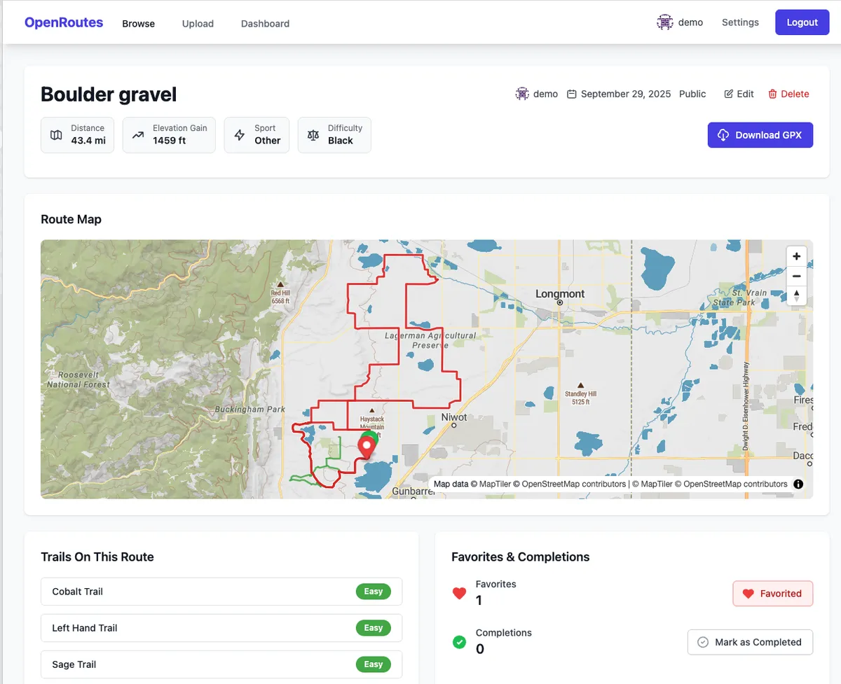
Got quite a bit done since the last update. Some highlights include A New Theme. Earth tone, contour lines. A nice focus for the point of the site. Updated Mapping Pipeline I was using MapTiler for maps, which I liked, but it was expensive. Now I am using pure Open Source maps which I cache and download to save their servers. This was quite a lift and the maps aren't perfect but I'm pretty happy…
OpenRoutes is a webapp where users can upload GPX files of any type for any major sport: mountain biking, trail running, hiking, gravel cycling, bikepacking, and more. You can view your routes on interactive maps, sort and search through collections, and download GPX files freely for use with any other sports tracking app or GPS device. Think of OpenRoutes as a completely free, donation based,…