
Here’s the view to the south / southeast this afternoon from my house.
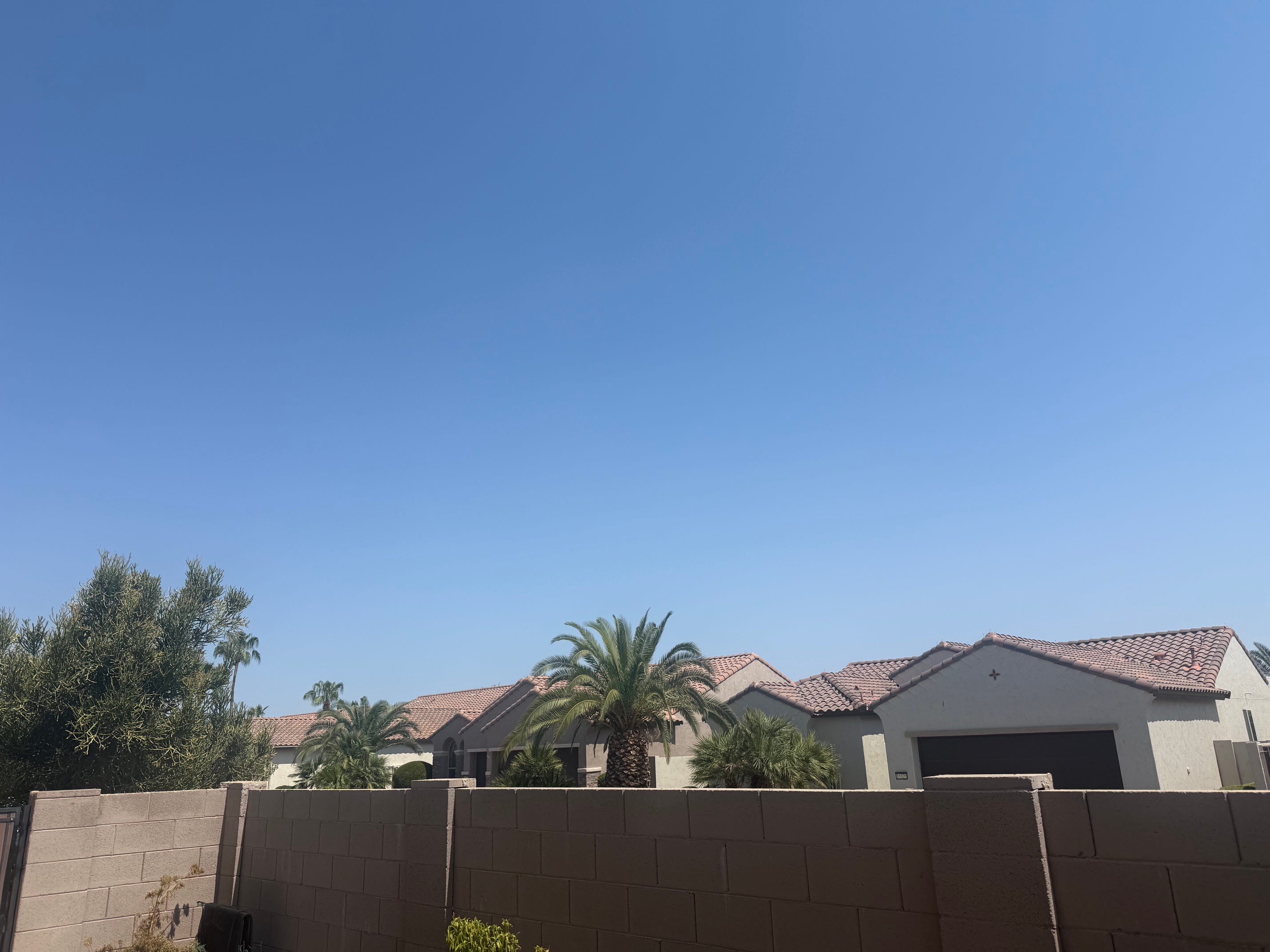
Do you see any clouds? Puffy cumulous clouds? No?
More hot air above us today, and the air is drier today. As storms move off the mountains they’ll hit our environment and say “can’t do it”.

Well, you’ll want to wake up next week, as our best chance of rain for the entire season happens beginning Monday night … becoming likely on Wednesday. Timing will change, and one rainy day will likely leave us dry the next day, but we’ll have a few chances over the next week for rain and storms.
Maybe we’ll get a chance to celebrate a little bit next week.

P.S.: Temperatures could dip into the 98-104 degree range by the middle of next week.
P.P.S.: Models 1-2 weeks out are diverging, but some of the model outcomes show the monsoon high moving well to our east, introducing (#ohno) southwesterly winds aloft … a sign of change that happens every year in August or early September. We’re at the peak of the Monsoon (and as my nephew once said when his ice cream serving didn’t have enough cookies in the cookies and cream … “I’ve been ripped off”). There are several weeks of opportunity remaining before the atmosphere changes. At least this year a Super El Nino could help us have fun through September - October.
No posts
Comments
Nothing yet. Say the first thing.
Sign in to join the conversation.