

We were without power for about five hours last evening, following one of the strongest severe storms I can recall across the past ten Monsoons. Rain chances included 20% coverage last night. Look at rainfall totals over the past twenty-four hours … storms missed most of the Valley … hitting maybe 20% of the area as forecast?
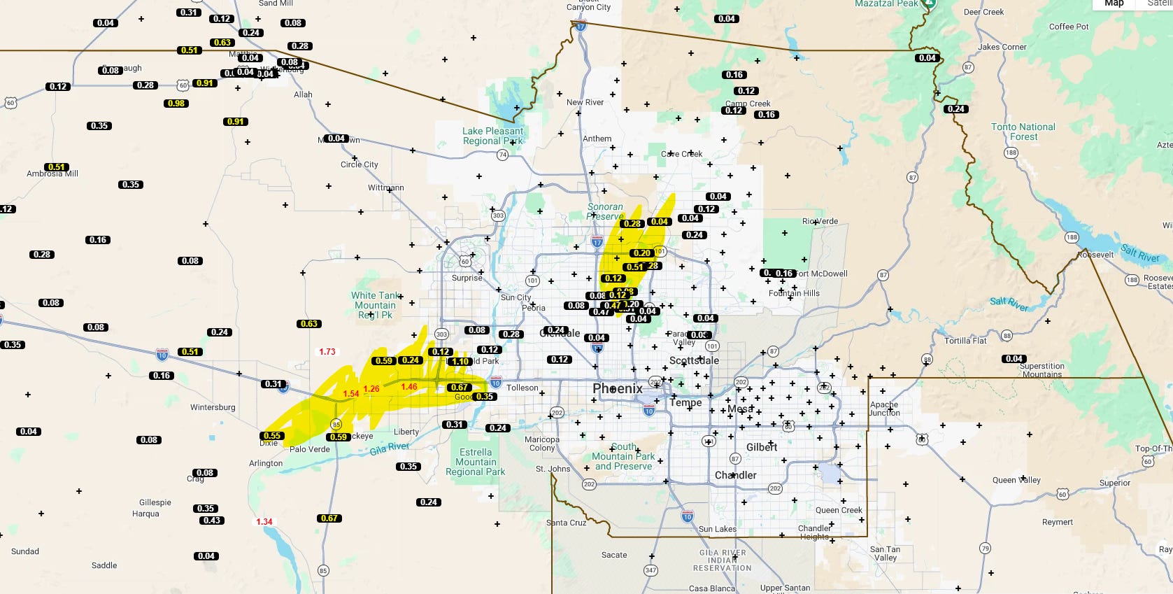
I recorded one inch of rain at my house … most of it happened in a 15 minute stretch where sheets of rain fused with 50-80mph wind gusts.
I follow a meteorologist … Daniel Henz, from the Maricopa County Flood District. He can be appropriately pessimistic about storm chances … but by 5:30pm he saw things coming together. “CAPE” is storm energy, “CIN” is dry/warm air that prevents lifting from happening.
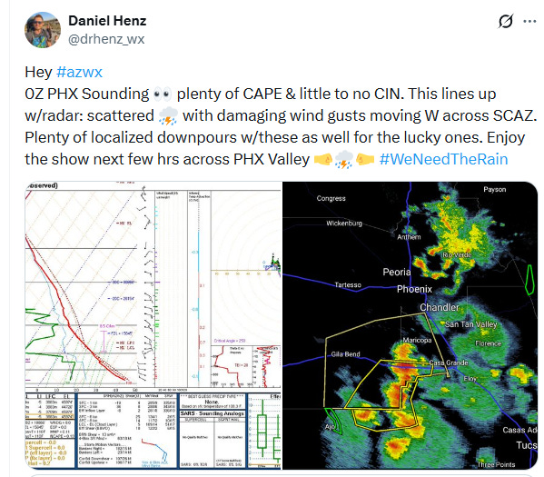
There is a hidden piece of information in the image on the left (the results from the weather balloon sent up around 5pm). I highlighted it in yellow.
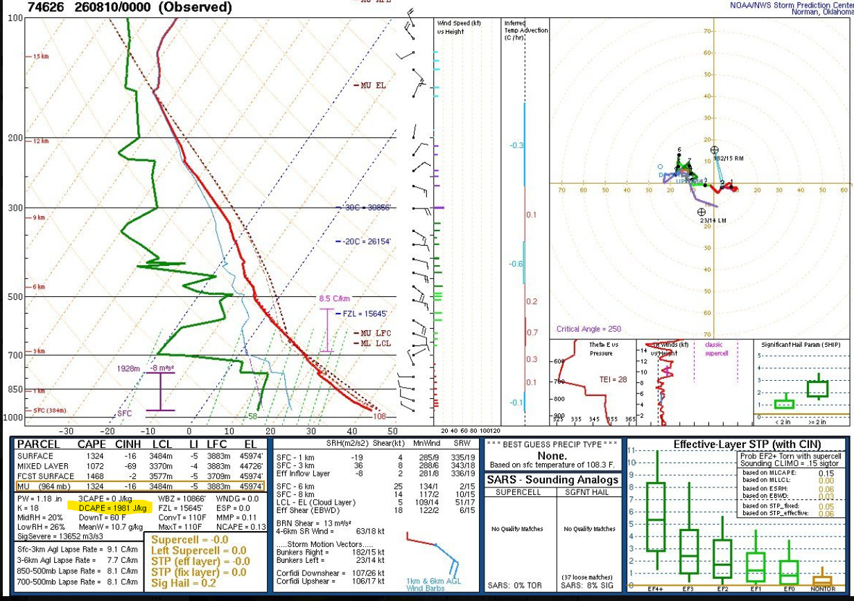
It’s called DCAPE. You can think of this as down-bust energy, the energy that can fuel outflow boundaries or haboobs or be associated with straight-line winds in downpours. As he explained, a rule of thumb for potential wind speed in down-bursts is as follows:
Wind Speed = Square Root of DCAPE * 2.
Let’s math this one out:
Wind Speed = Square Root of 1,981 * 2 = 44.5 * 2 = 89mph.
In other words, when a storm decides to drop a metric ton of rain on top of the West Valley, it could roughly do so at a maximum of 89mph.
In summary:
Enough moisture, not great, but enough.
Plenty of storm energy.
Nothing to stop the storms from rising.
Good lifting environment if outflow boundaries form.
89mph maximum winds possible if storms develop.
As we approached 8:00pm, we had two outflow boundaries, one from the northeast, one from the southeast. Severe storms were forming in the Phoenix area … severe due to wind gusts > 58mph and hail.
The ingredients were in place.
At 8:53pm the National Weather Service upgraded a Severe Thunderstorm Warning due to high winds (remember our friend, “DCAPE”??). They upgraded the warning from 60mph winds to 70mph winds to 80mph winds.
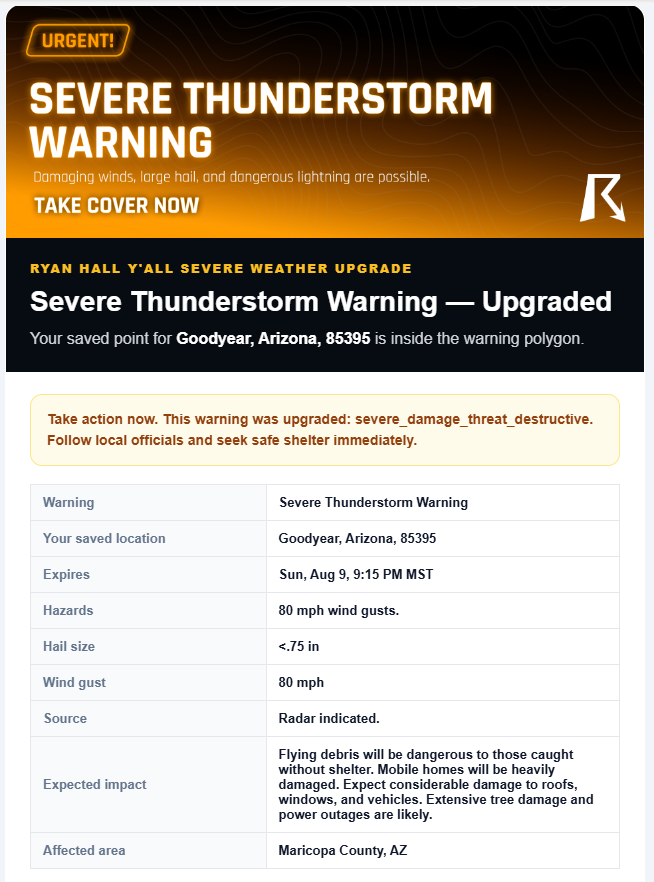
“Extensive tree damage and power outages are likely”.
By 9:54pm the worst of the storm had passed. We were without power for a half-hour already. The storm redecorated my outdoor seating area.
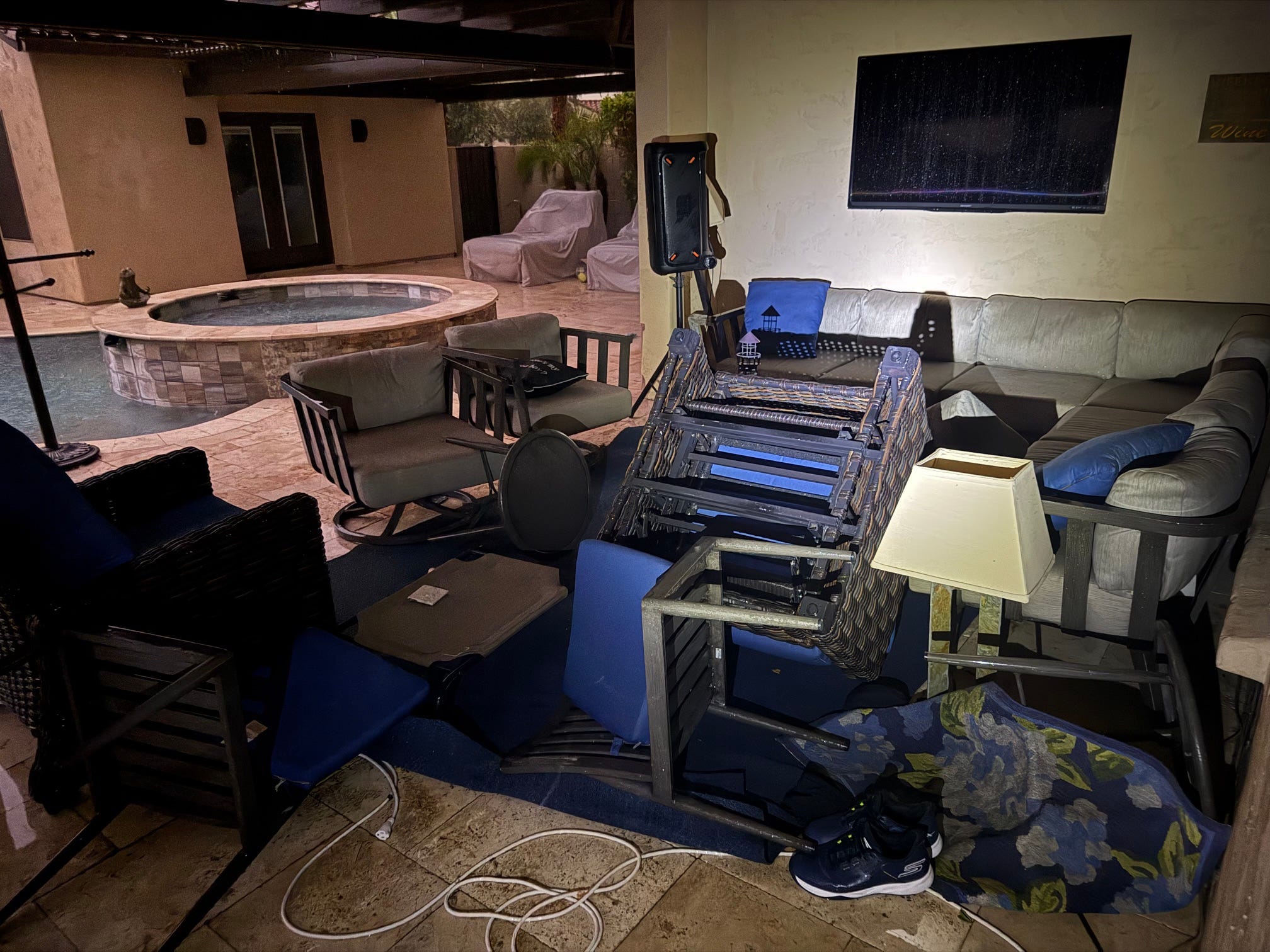
Broken lamp, and the TV on the wall was wet from rain … rain did not come from the direction of the spa by the way, it came from about where I was standing … it blew so hard that it came in about 30 feet sideways from where it entered.
It was as fierce a storm as I’ve experienced in a decade of Monsoons.
Cleanup is well underway as of 7:00am. We have hundreds of trees fallen and branches down in my neighborhood.
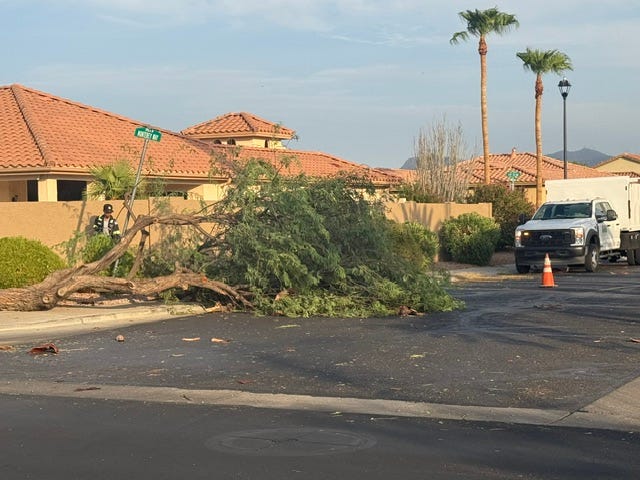
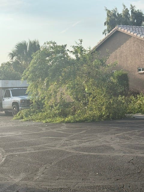
We can also say that we’ve had above-average August rainfall in a small swath of the West Valley. Locals frequently lament storms in the East Valley that die before they get over here. Last night was different. This particular storm was birthed a few miles to the east courtesy of prior storms and gave the Buckeye-Goodyear area a good beating.
Also - no rain three miles to the north. None!!
There will be periods between today and Thursday where storms can develop again … updates will be provided.
No posts
Comments
Nothing yet. Say the first thing.
Sign in to join the conversation.