
Last night’s Severe Thunderstorm Warning for the West Valley yielded plenty of dust, and a few overnight sprinkles. The East Valley enjoyed soaking rains.
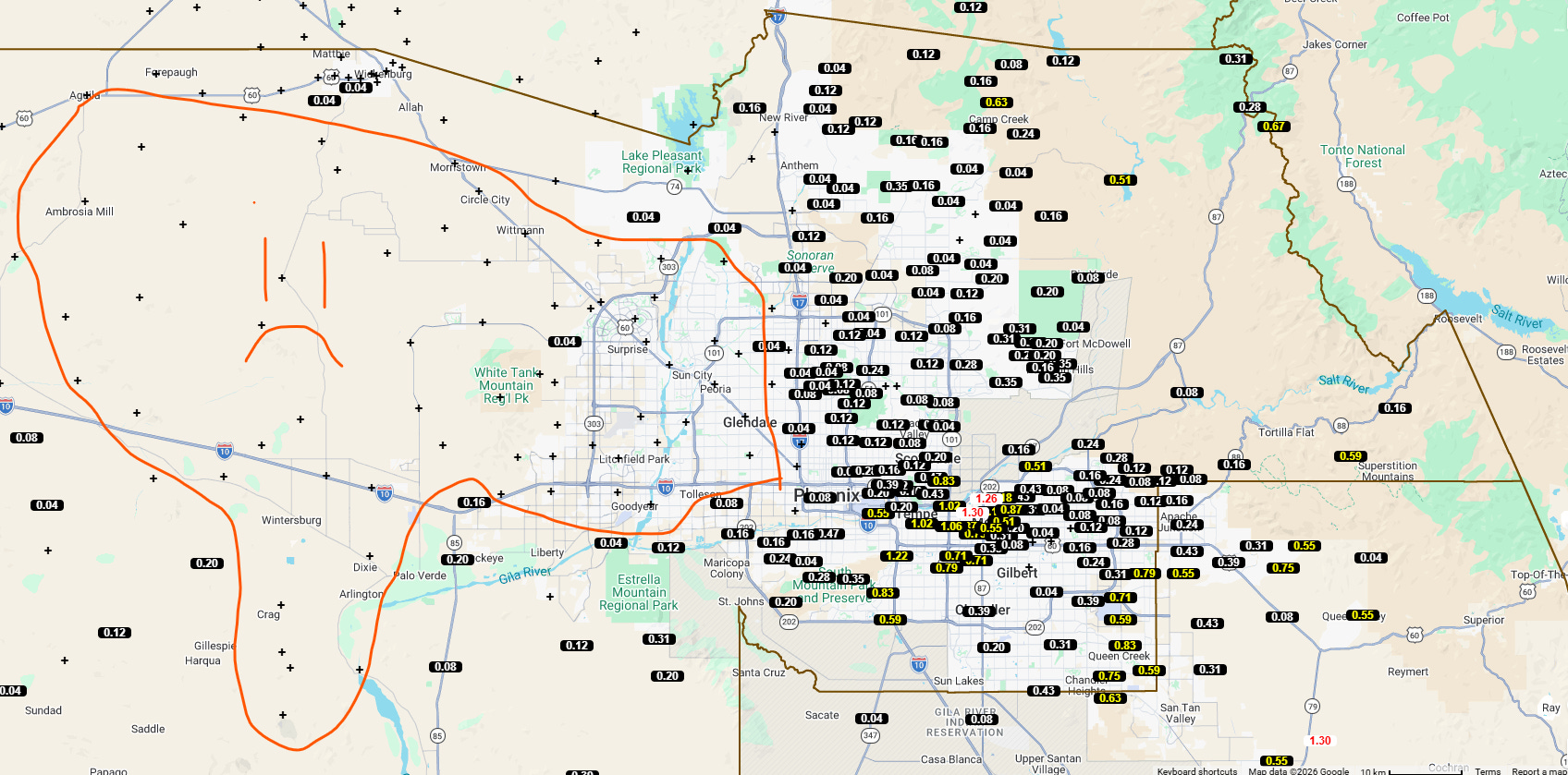
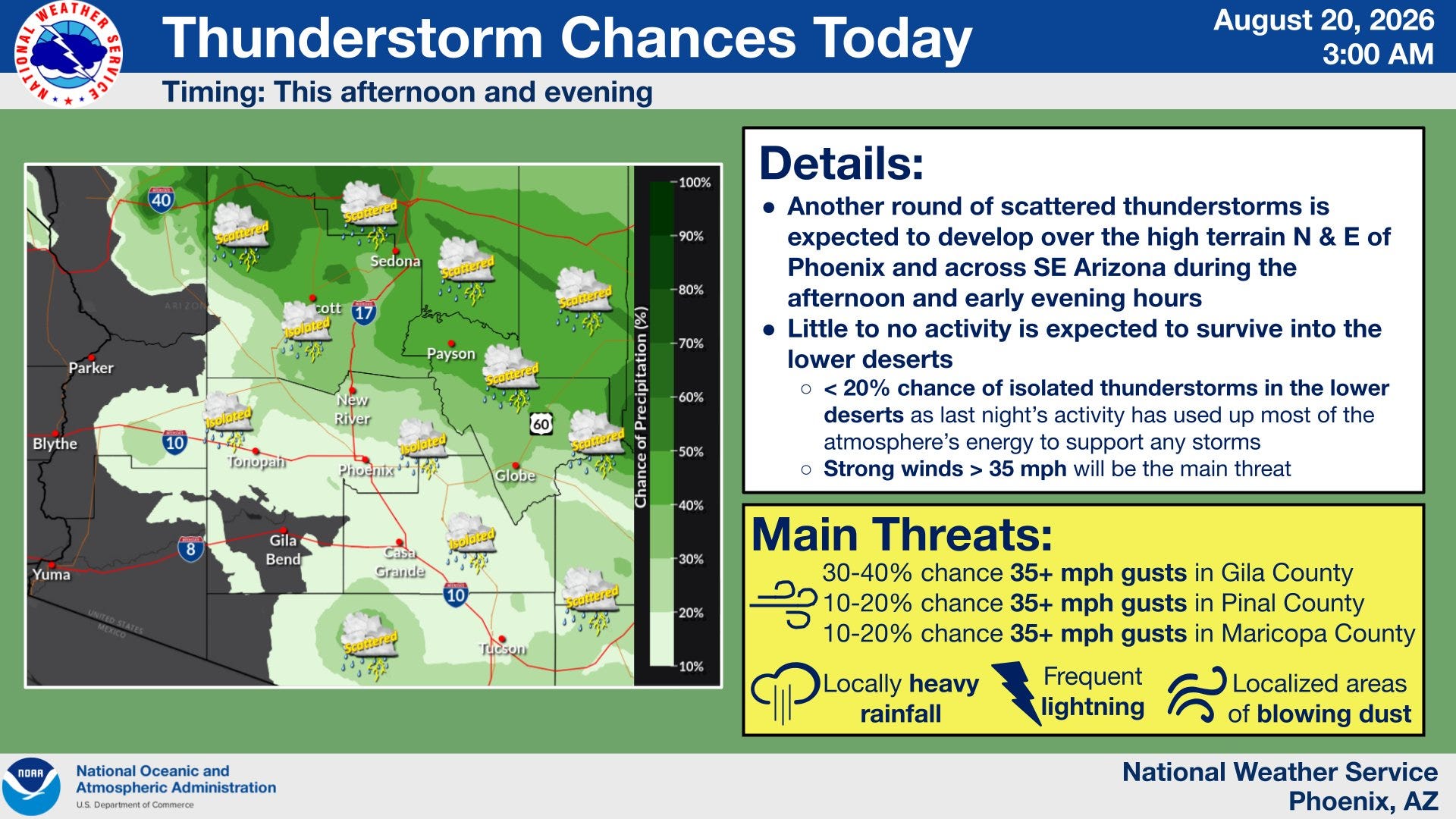
During the Monsoon, an “on” day for storms typically results in an “off” day twenty-four hours later. Had last night not happened, we’d have had a chance for storms this evening.
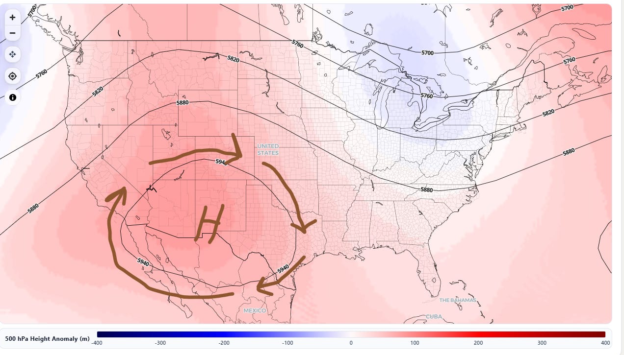
Storms will periodically be possible over the next ten days, but the upper atmosphere is getting ready to change. The placement of our Monsoon high could bring us warm temperatures next week. Here’s the average of the European runs for next Thursday - this could limit rain while allowing heat to build. The high is near El Paso, not up by Colorado / Utah.
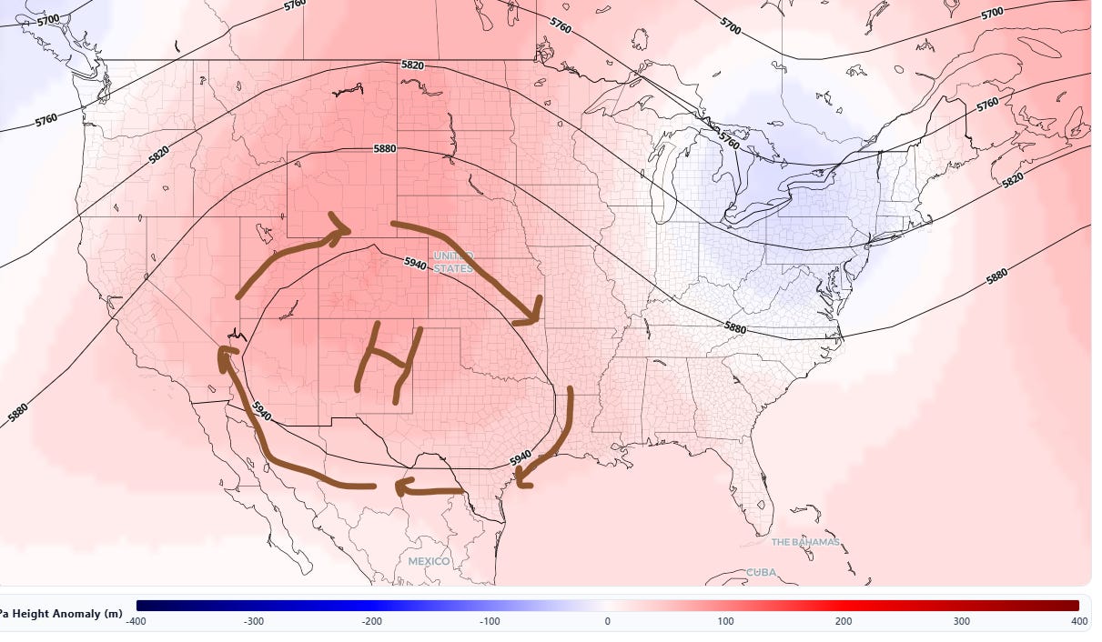
The American-based GFS average of model outcomes has the Monsoon high in a marginally better position.
Enjoy any chance for rain between now and Labor Day. We’re close to shifting from easterly-based Monsoon storms to upper-level winds that are out of the southwest.

No posts
Comments
Nothing yet. Say the first thing.
Sign in to join the conversation.