vSite: Keep utility projects on track
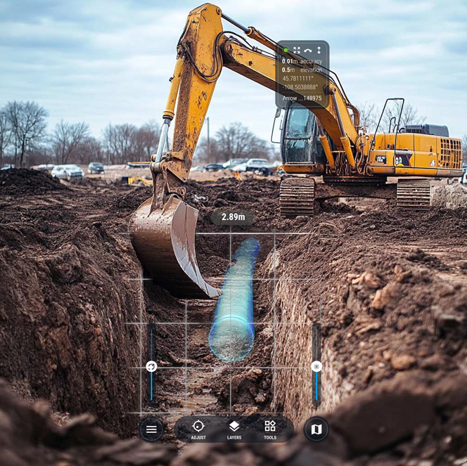
Utility Strike Avoidance
Prevent excavation damages, document utility locates, and keep records up to date with AI and construction-grade augmented reality (AR).
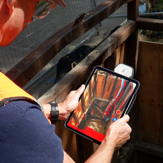
Field Data Capture
Record construction progress, document test pits in 3D, and create accurate redlines in minutes—no survey crew required.
Production Tracking
Get real-time visibility into project performance, including profitability and progress, by tracking installed quantities and automating project tasks.
Purpose-built for Your Project
vSite brings everything you need for a utility project into one system, so crews and office teams stay on the same page and don’t have to juggle multiple apps.
Quantity Tracking
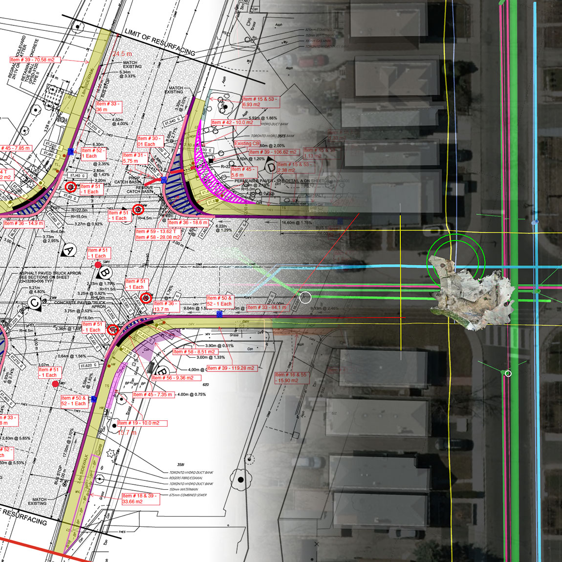
Track what’s installed—pipes, manholes, trench lengths—as it happens. Crews log quantities right on the drawings while they work, eliminating paper logs and double entry. Everything is location-based, real-time, and ready for supervisors to check progress and stay on top of costs.
Damage Prevention
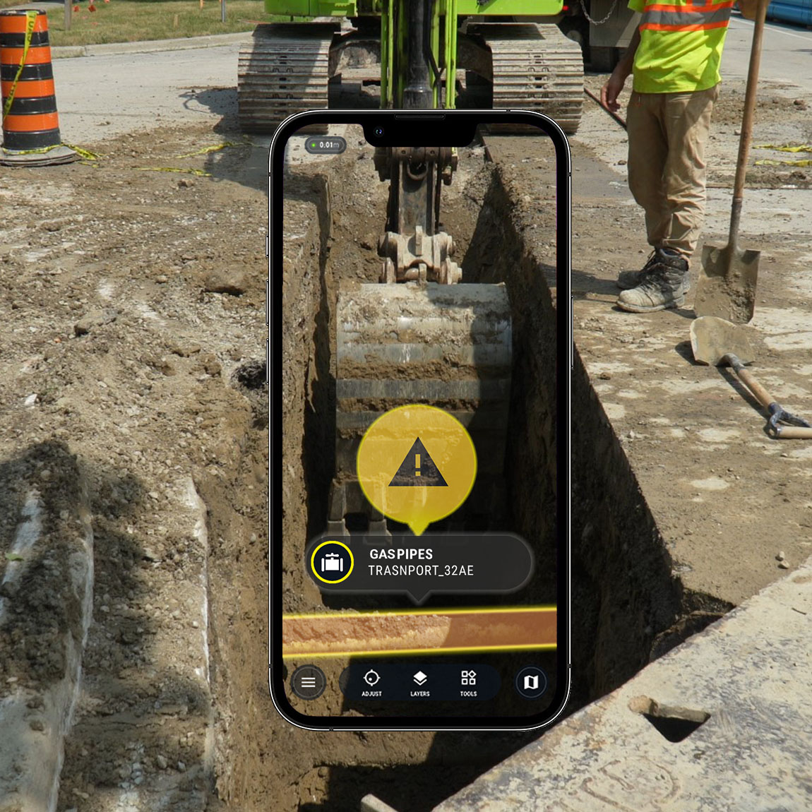
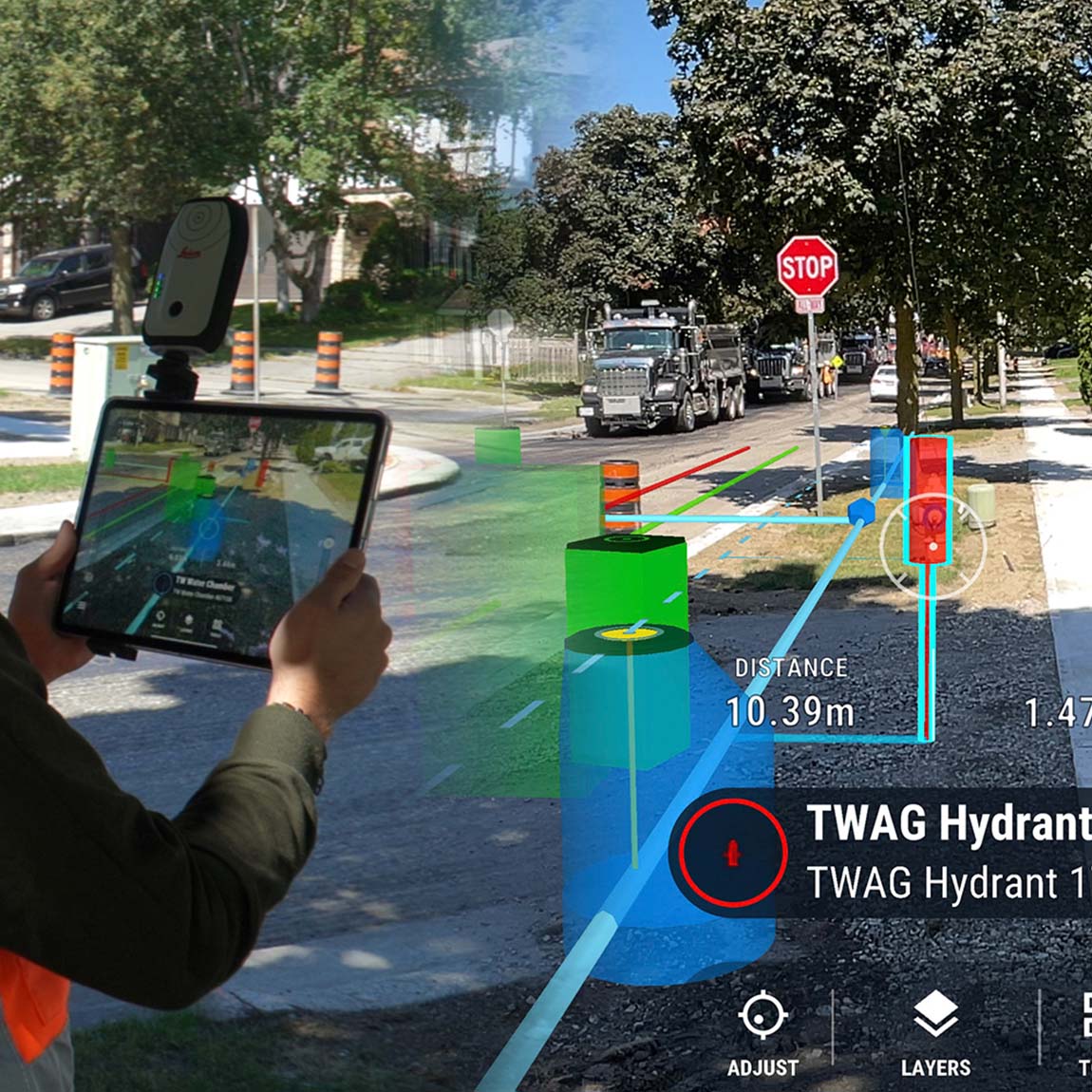
Strikes are expensive, dangerous, and avoidable. vSite helps crews “see underground” using AR tied to real utility records. Scan test pits or document what’s exposed in 3D to check for mismatches, avoid surprises, and dig with confidence.
Documentation and Daily Reports
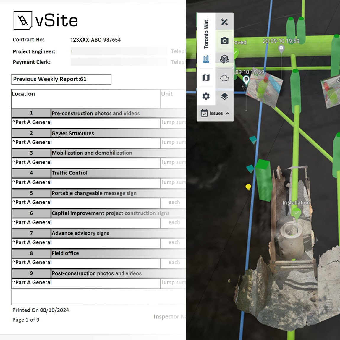
vSite makes daily reports fast and accurate. Crews snap photos, add notes, or scan in 3D, and everything is automatically timestamped and mapped. Reports are built as you work—no extra paperwork or end-of-week catch-up.
Redlining and Field Data Collection
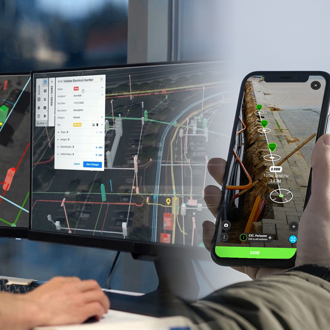
Paper notes get lost; vSite keeps everything in one place. Crews can mark up drawings and collect GIS data right in the field using a phone or tablet. Each redline is saved with real-world location, time, and photos, so the office sees exactly what changed, where, and when.
Sheets and Drawings on Mobile
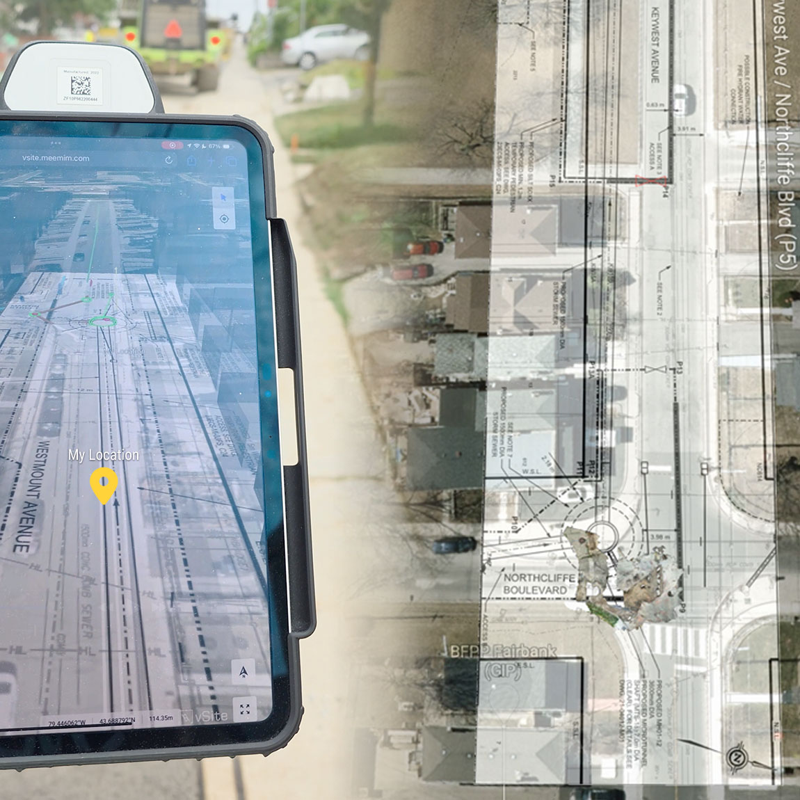
Tired of flipping through paper or waiting for a PDF to load? vSite puts every plan at your fingertips. Crews can view, zoom, and mark up drawings instantly in 2D or 3D—even overlay them on the real-world site for maximum clarity.
Utility Locates Documentation
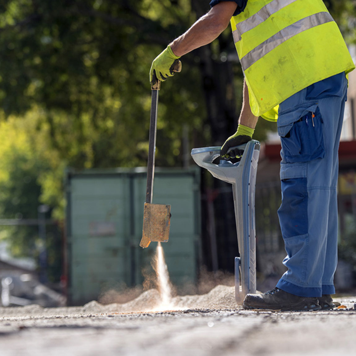
Turn every locate into a trusted record. vSite automatically links photos, positioning, and 3D scans into one georeferenced file. It improves compliance, reduces strike risk, and gives crews confidence when re-marking or reviewing past work.
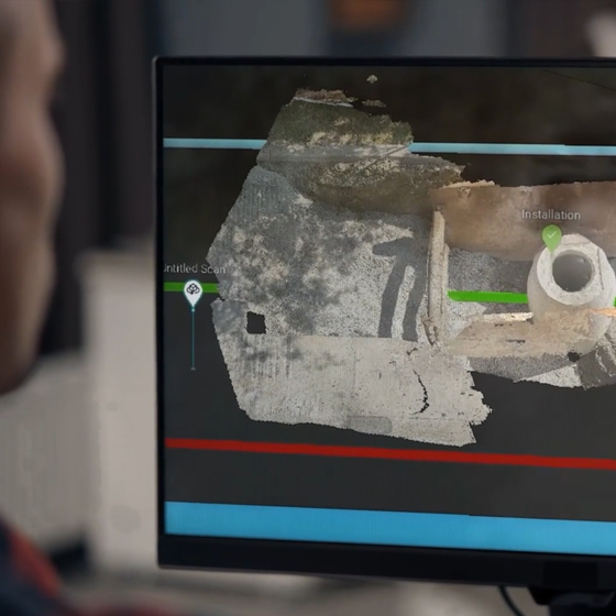
3D Scanning and Reality Capture
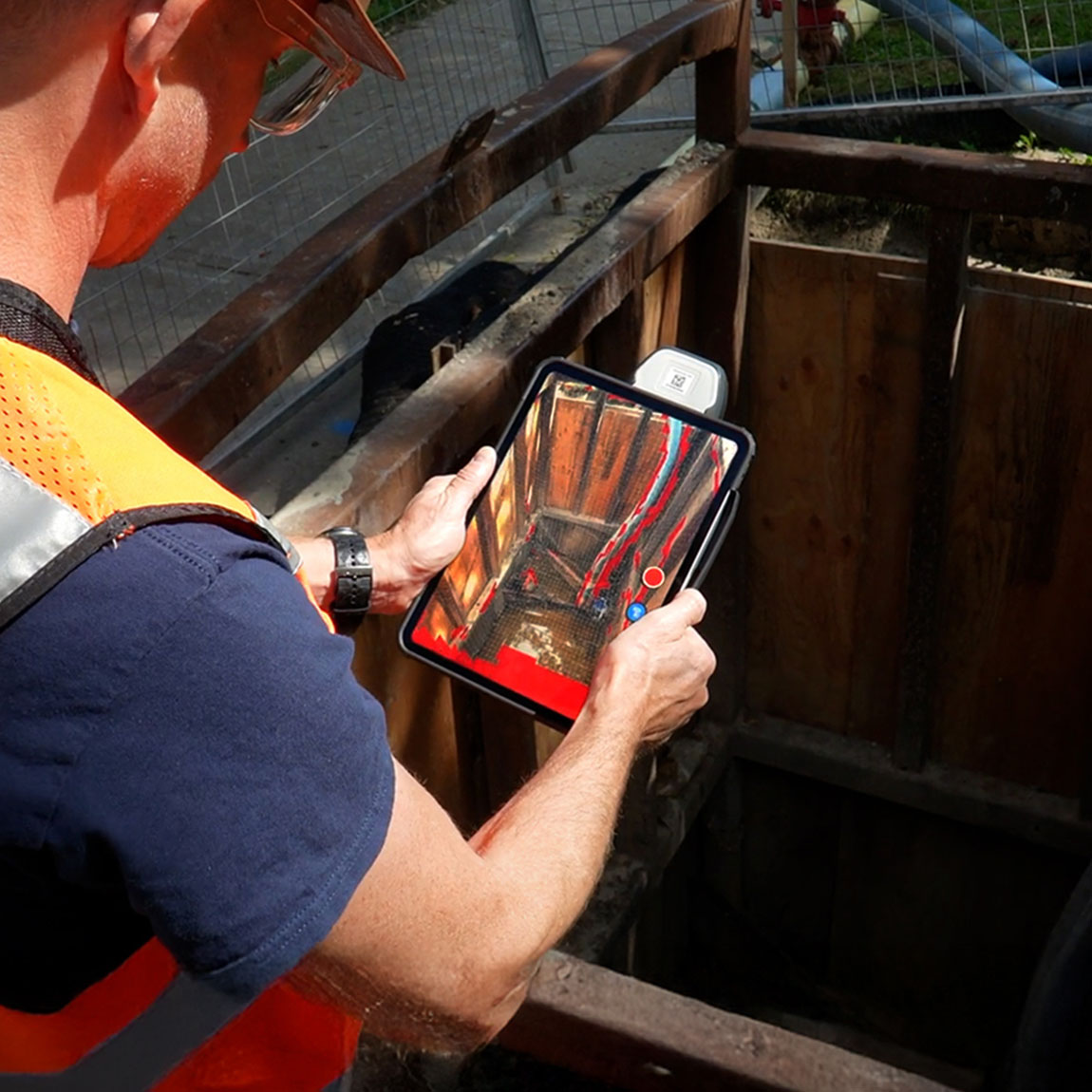
Use your phone or tablet to scan trenches or infrastructure in minutes. vSite turns those scans into accurate 3D records tied to GPS and project drawings—no survey crew needed. Ideal for QA, as-builts, and field verification.
Augmented Reality for Utility Projects
Bring your plans into the field. Crews can see where assets go or what to avoid with centimeter-accurate AR. It helps with layout, clash detection, and safer digging using only a tablet or a phone.
vSite: Software for Your Utility Projects
vSite AR: Construction-Grade AR

Several hosting and security options to comply with the most stringent security requirements
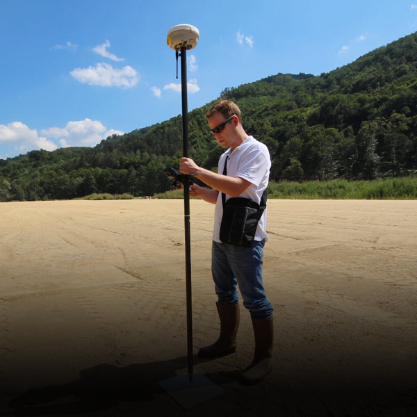
Survey-grade (up to 1cm) augmented reality with compatible GNSS and positioning devices

Supported formats, devices and other technical specs