Reliable monitoring of nature, agriculture, water, and infrastructure
Get the insights you need to manage ecosystems, track changes, and make informed decisions—without the complexity.
“The Spheer App monitors in minutes what used to take us months before.”
We collaborate with
About Spheer
Powerful monitoring from space
Whether you're working in nature management, agriculture, spatial planning, or water governance, Spheer's geo-AI delivers the insights you need in minutes to monitor change, manage effectively and act with confidence.
Up-to-date information and historical trends clearly in view
Spheer translates satellite imagery into reliable trends, showing you the current situation and changes since 2017 at a single glance.
Informed decisions with tailored information
Monitor exactly what matters to you. Provide the App with a few examples and it will learn to generate maps for as many use cases as you like.
The power of satellite-AI at your fingertips
Spheer gives any organization access to powerful satellite analysis—no need for a specialized data or AI team.
Large-scale insights in an instant
From small plots to entire regions: the Spheer App delivers accurate maps within minutes.
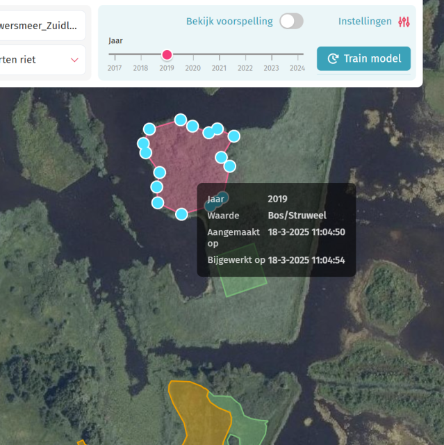
Import or draw examples of what you want to monitor.
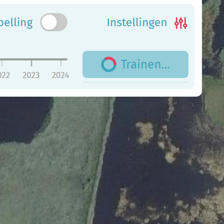
Spheer learns from your input and generates accurate predictions.
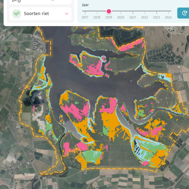
Analyze the results and tweak your model to perfection.
Use your maps for management, decision-making, inspections, and more.
How it works
With just a few observations, Spheer can analyze vast areas in one go.
How it works
With just a few observations, Spheer can analyze vast areas in one go.
Spheer is already delivering results
See cases
What our users say
“The first time we used Spheer, it delivered maps in one hour that we’d usually pay €15.000 for and wait weeks to receive. The App is going to save us money and improve our nature reporting.”
“Spheer is almost too good to be true. We used to monitor our deteriorating ecosystems only once every 12 years. Now we have updated maps every year.”
“We encourage anyone involved in conservation, environmental management or research to explore Spheer's app and discover how it can support your work.”
By the numbers
The benefits of Spheer
the app saves time, delivers instant results, needs only a handful of examples for accurate monitoring, and provides yearly updates for your area of interest.
95%
Time saved when analysing large areas
10
Minutes to create a usable map instead of weeks
100x
Fewer examples needed for reliable monitoring
6-12x
More frequent monitoring on the same budget
Meet the Spheer team
Spheer is a young and ambitious tech company where innovation and sustainability go hand in hand. Our team combines deep technical expertise with a strong focus on delivering real value for our users. We’re critical, empathetic, and never short on laughter.