








Training
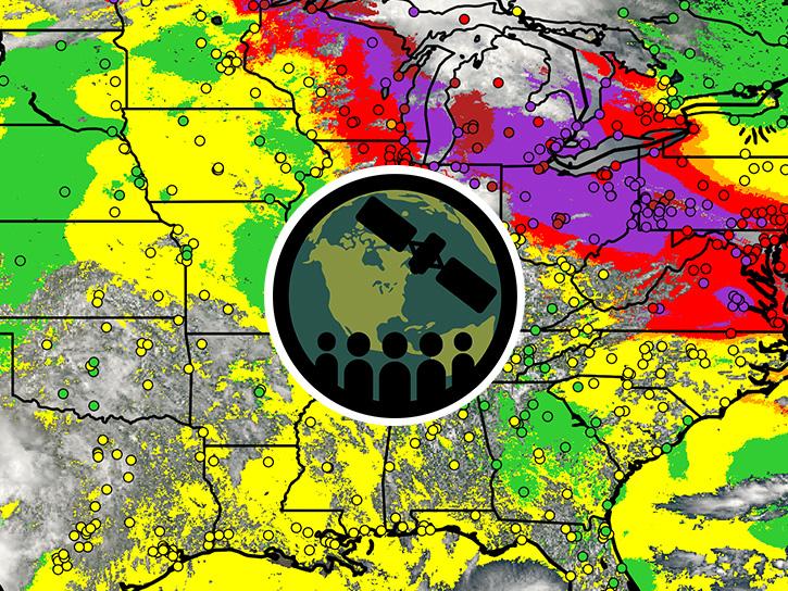
This ARSET training provides an overview of TEMPO aerosol products for air quality applications using NOAA's AerosolWatch website.
Blog
August 2026 marks 35 years since the first downlink of synthetic aperture radar data to the Alaska SAR Facility. ASF has supported many missions and archived many Earth observations since then.

Event
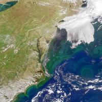
Explore how the Prediction of Worldwide Energy Resources (POWER) project impacts the current and future landscape of energy, buildings, and agriculture.
Webinar
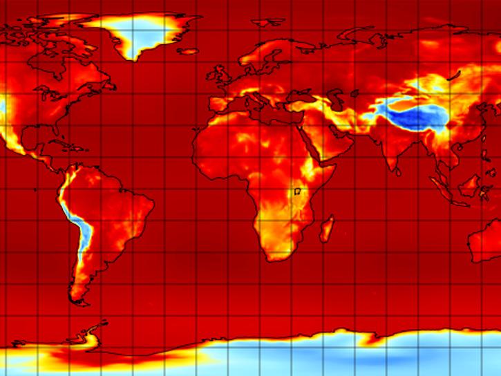
Presenters will explain the difference between downloading and streaming data, then work through an example.

Worldview Image of the Week
Training
Event
Event
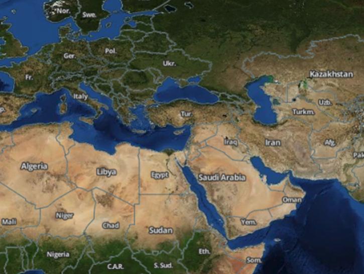
Earthdata Search enables data discovery, search, comparison, visualization, and access across NASA’s Earth science data holdings.
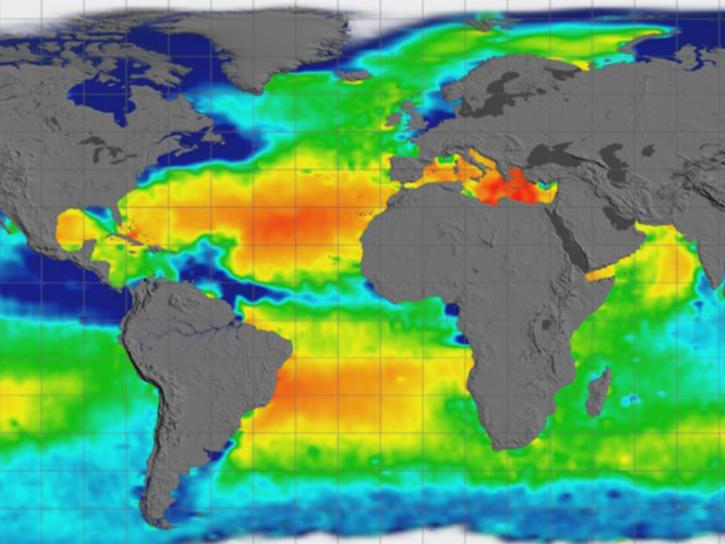
Earthdata GIS is a resource for distributing cloud-native, GIS-ready NASA Earth science data and services, including over 200 raster and feature geospatial services as well as resources such as thematic applications and ArcGIS StoryMaps.

The GNSS-based Upper Atmospheric Realtime Disaster Information and Alert Network (GUARDIAN) is a near real-time (NRT) ionospheric monitoring tool for natural hazards warning.
Open Science
We empower a collaborative scientific process through the open sharing of data and knowledge. Our open data, services, and software policies ensure that data are fully available to any user for any purpose.
Earth Science Data Systems 2025 Fiscal Year Highlights
+7.4 billion
files distributed to end users
10+ million
distinct data and service users
178+ petabytes
of Earth science data available