
Snowdon has the Crib Goch ridge, two other superb scrambles, and a pair of vast and challenging crags for climbers. Snowdon is the biggest, but also the best, in Wales. Ben Nevis has the Carn Mor Dearg Arete, and the Tower Ridge, and the highest and widest rockface in all Britain. Correspondingly, England’s Scafell has the route by Foxes Tarn (for adventurous walkers); the West Wall Traverse (for adventurous walkers who don't mind having stones dropped on them by other adventurous walkers); and Broad Stand (for even more adventurous walkers). While for climbers there are Slingsby's Chimney, and Moss Ghyll, and the formidable Central Buttress.
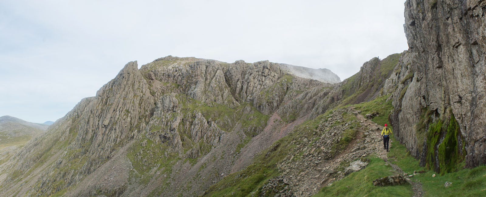
Except that it isn't correspondingly; for all of these features are on Sca Fell. In England we've had the Ordnance Survey for nearly two hundred years, and in England the highest is the outlier on the side of Sca Fell known originally as The Pikes of Scaw Fell, or currently as Scafell Pike.
Scafell Pike has the wide stony path from Langdale and the wide bulldozed one from Wasdale Head. The rock-climbing on Scafell Pike is the jolly little Pikes Crag all covered in bilberries. It's Sca Fell, not the Pike, that deserves to be the highest. But it's the Pike that is. It's quite clearly marked even on my grandfather's map of 1905. Sca Fell 3162 feet: Scafell Pikes (as they then were) 3210.
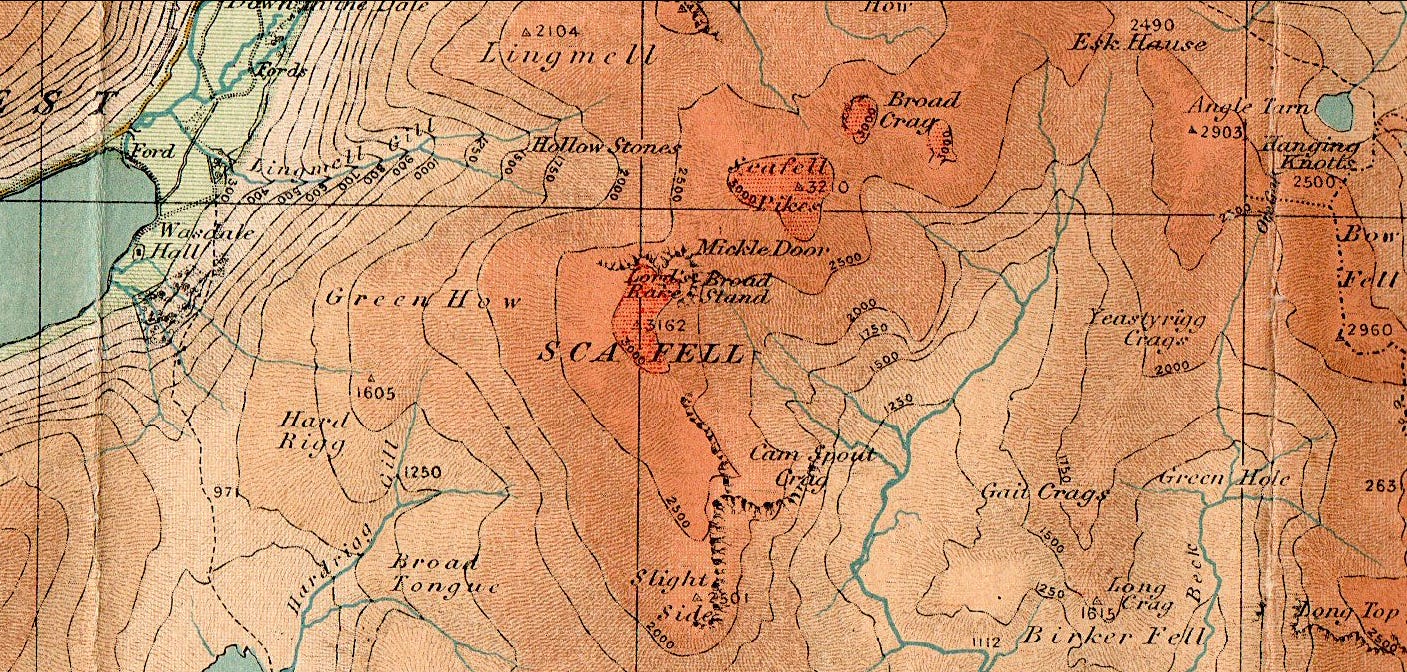
But is that map accurate? With the increasing number of fellwalkers deploying route-finding software on our phones, including the ‘OS Maps’ app itself, it’s become ever more apparent that the height readings just don’t add up. And that, in fact, it is Sca Fell, rather than its outlier Scafell Pike, that is the true high-point of England.
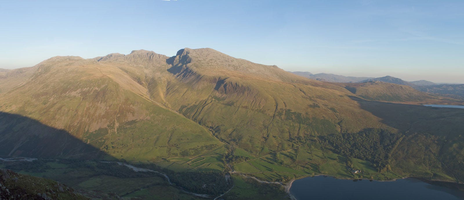
I’ve contributed to an article on this anomaly to the country’s main hillwalking magazine, the online UKhillwalking.com. Here, I shall discuss the events leading up to, eventually, this week’s discreetly managed revision of the National Park Authority’s website, and hence the official recognition of England’s new top top.
Full article on UK Hillwalking
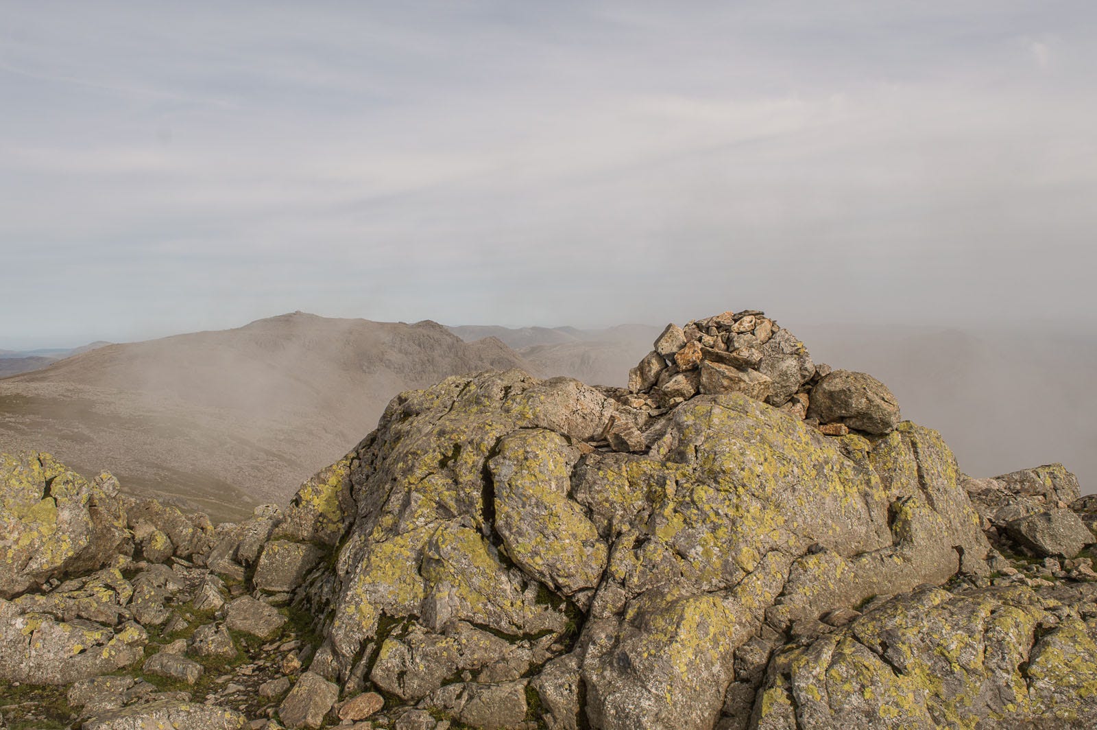
I first started having my doubts about the spot-heights marked on my map one summer evening in 2004, when I stood at the top of the West Wall on Sca Fell, looking across at the busy cairn on Scafell Pike. Looking across and – as it appeared to me on that afternoon – across and down at Scafell Pike. But my walk that day had started at Great Langdale, and needed to get back there before nightfall. I stopped thinking about the height of the Pike and started thinking instead about the best way down into upper Eskdale.
And then, two years later, I was chatting to one of our eminent mountaineers, a man whose father was on Everest in 1922. (And did Mallory and Irvine really get to the top in their Norfolk jackets and hobnailed boots?) The eminent mountaineer had met a woman on the Corridor Path who explained it all.
On any summer weekend, a thousand people climb Scafell Pike. Some of them are doing their lifetime’s only mountain, and doing it in unsuitable shoes. What if the thousand needed to do Scafell instead? There are already plenty of accidents on Broad Stand. So the Ordnance Survey and the Mountain Rescue got together with the National Park Authority and decided that, for safety reasons, Scafell Pike has to be the highest point of England.
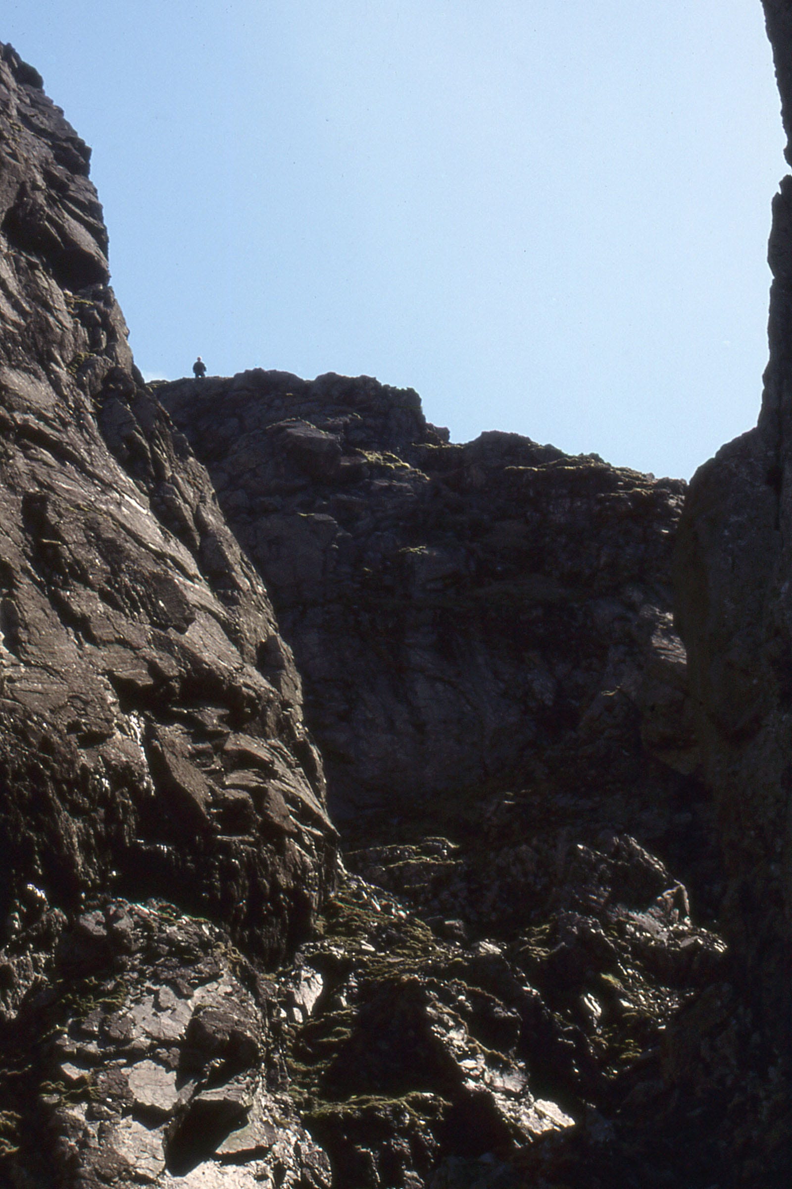
Most of us, when our eyes don’t agree with the Ordnance Survey, tend to go with the OS. And so matters stood, until the arrival of hand-portable GPS readers, and more recently of navigation software for the mobile phone. For almost a century, this slight adjustment to maps has diverted hill walkers away from the high-risk Sca Fell onto the more appropriate slopes of England’s second highest, Scafell Pike. But with the use of such technology becoming ever more widespread, the time has finally come for the relative altitudes to be reallocated.
For several months now, the Lakeland National Park Authority (LPNA) has been preparing for the change, with pictures of Sca Fell being inserted onto pages nominally dedicated to Scafell Pike.
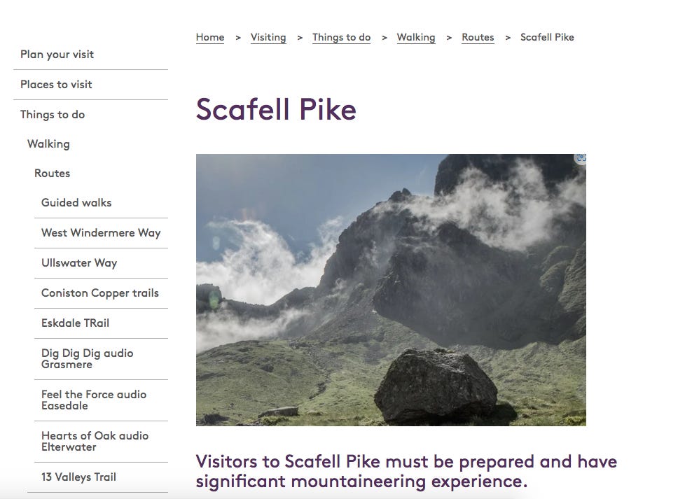
In a post on X (formerly Twitter) the LNPA explains the change of policy. “With the widespread use of GPS by hillwalkers, and the 75th anniversary of the Lakeland National Park coming up this year, it seemed the appropriate moment to set the record straight. In fact it’s long been our policy, on safety pages connected with Scafell Pike, to replace it with pictures of Sca Fell. Sca Fell just looks so convincingly scary doesn’t it?”
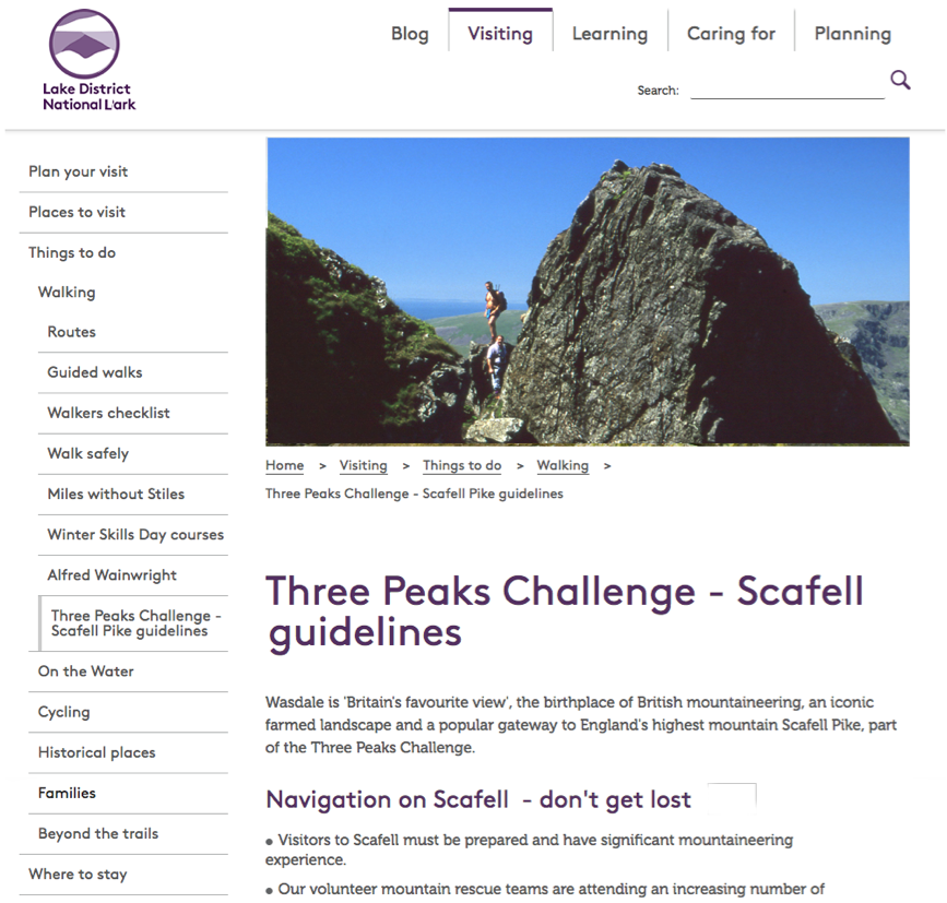
“The ascent of Scafell Pike has historic significance going back to Dorothy Wordsworth’s ascent of 1818, as described in later editions of her brother William’s ‘Guide to the Lakes’. It is also the traditional English component of the celebrated ‘Three Peaks plus the M6’ walk. So we confidently expect the majority of walkers and mountaineers, as well as the ‘three-peakers’, to continue to set their sights on Scafell Pike rather than its very slightly higher neighbour.”
With the discontinuance of the adjustment to maps, it has become necessary to find alternative ways of protecting the hillwalking public. Funding has been made available for a pair of enclosed ladders (one each for ascent and descent) running the full height of Lord’s Rake and Deep Ghyll, these placed on a firm concrete base to eliminate the danger from stones in these notoriously loose gullies. A similar, shorter pair are scheduled for the rock climb of Broad Stand above Mickledore. Meanwhile, acknowledging the concerns of those who advocate for ‘rewilding’, the route by Foxes Tarn is to be retained in its ‘semi-natural’ state, though with the current informal access via the narrow and exposed ‘Climbers Traverse’ blocked off with landscape-appropriate chainlink fencing.
All these measures should be in place by the late summer of 2027. In the meantime, any mountaineers attempting Sca Fell should employ a qualified mountain guide, who will be versed in the safety requirements for this serious climb.
Comments
Nothing yet. Say the first thing.
Sign in to join the conversation.